Category: Forest

Ritigala

Ritigala

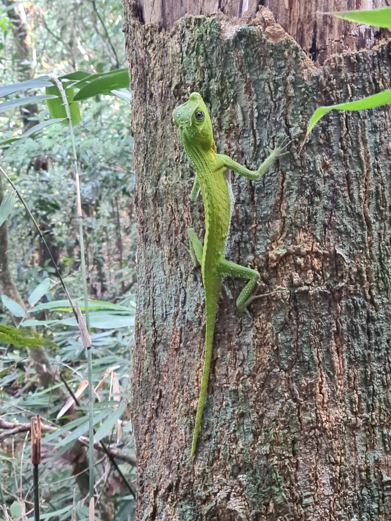
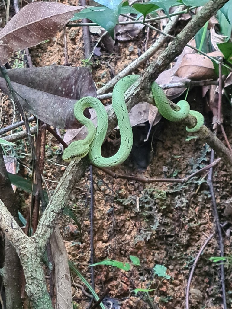
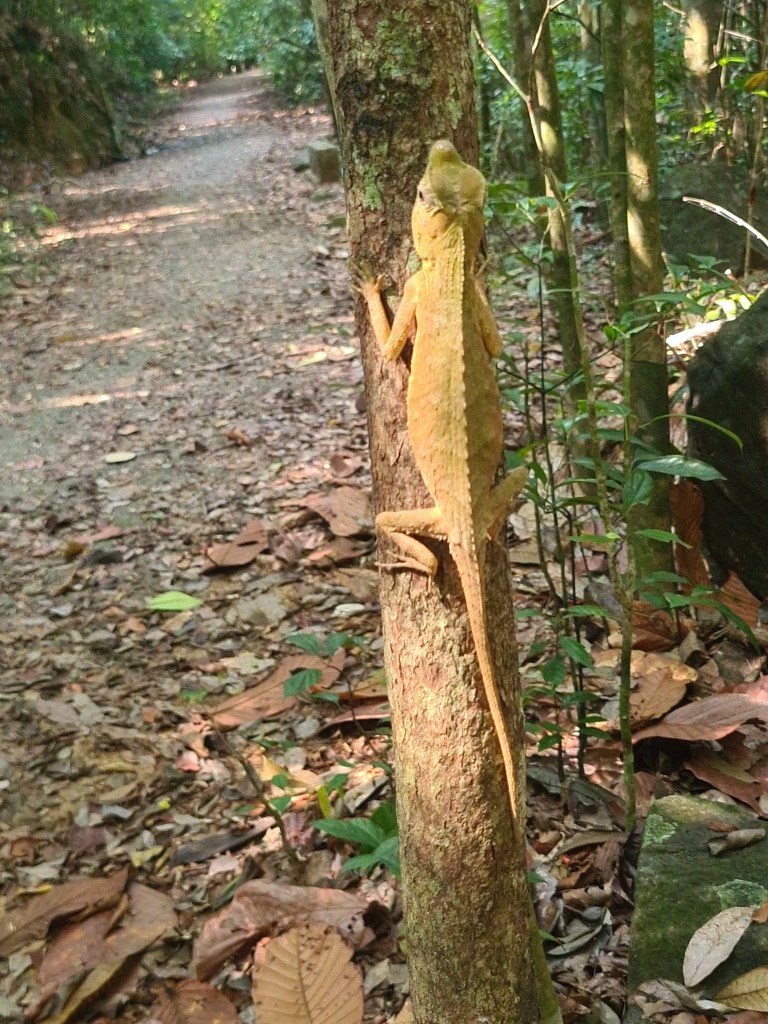
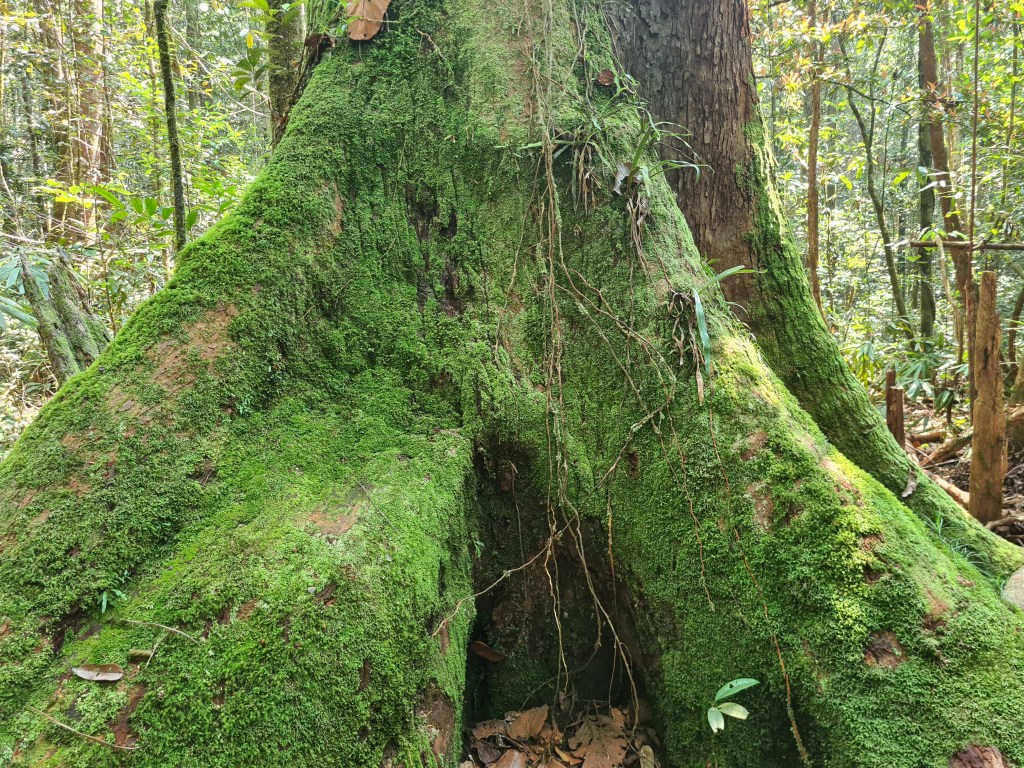
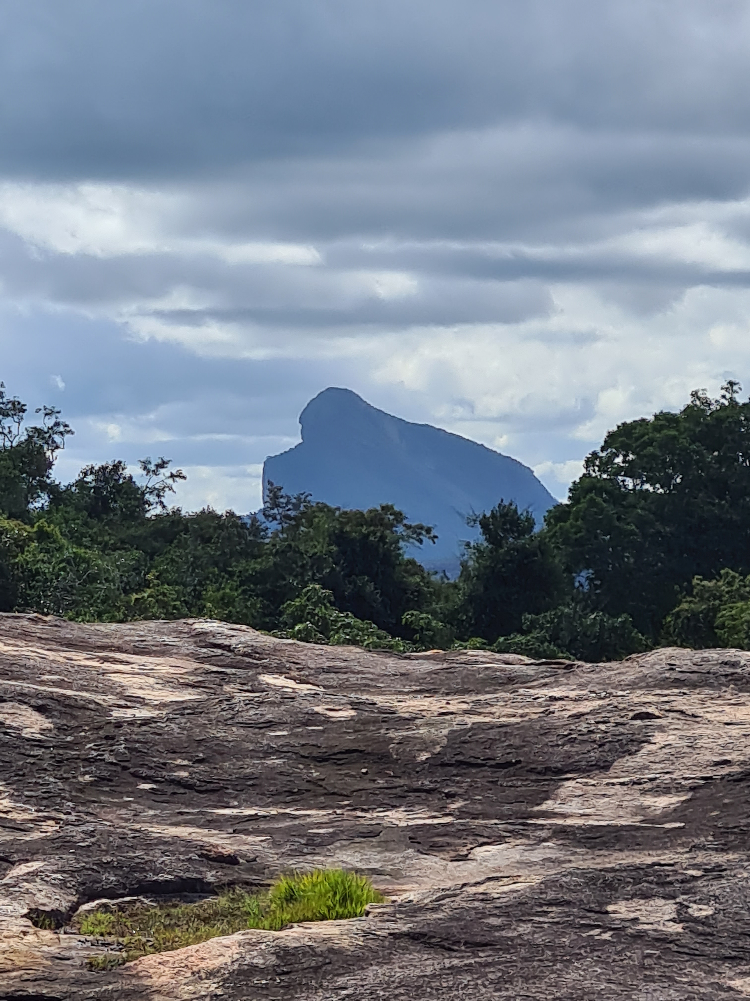
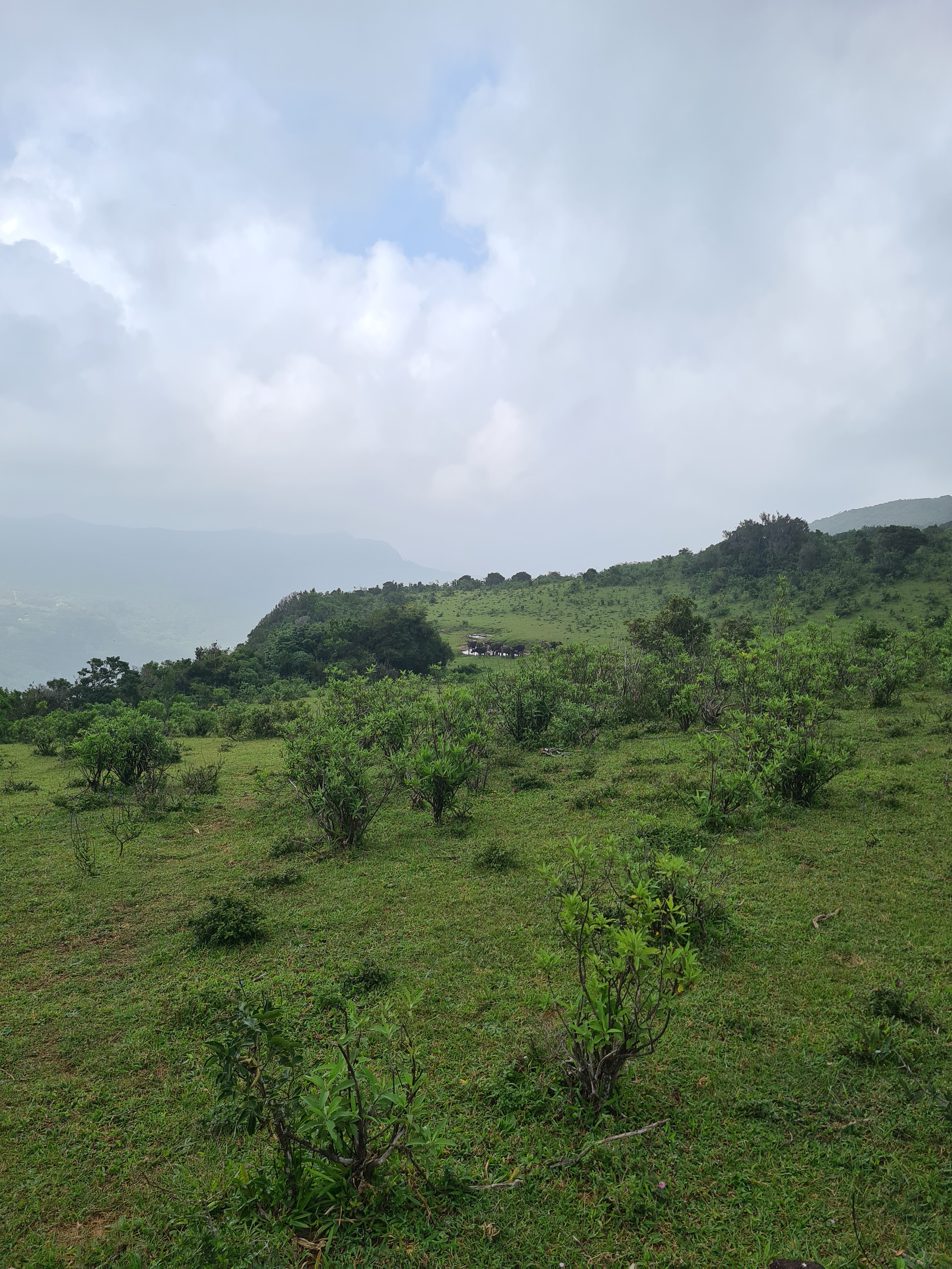
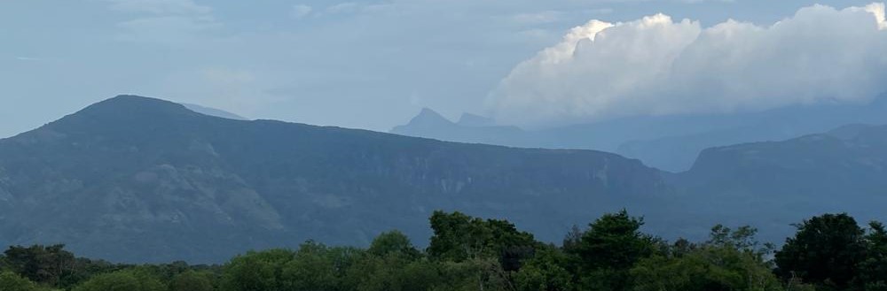
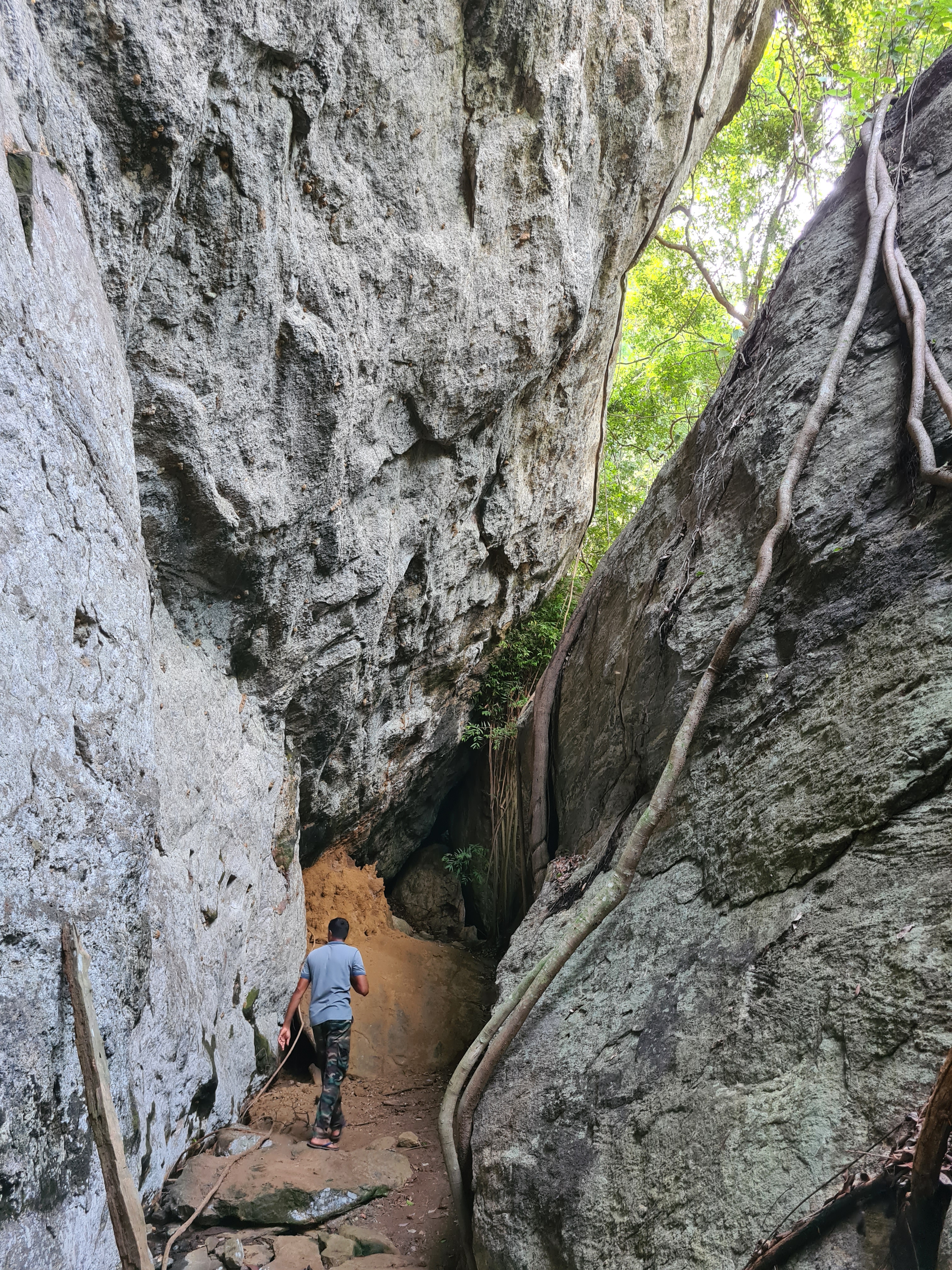
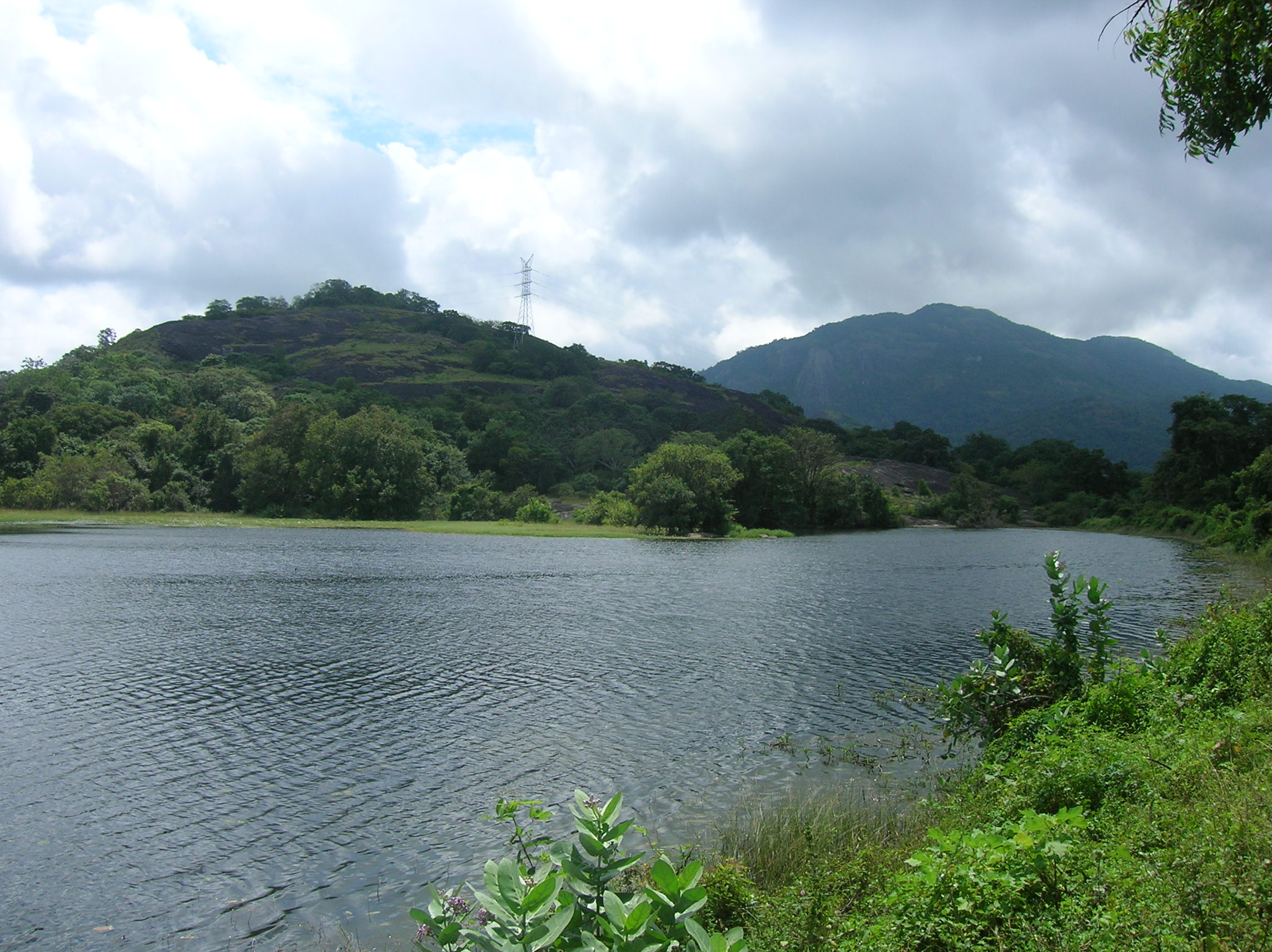
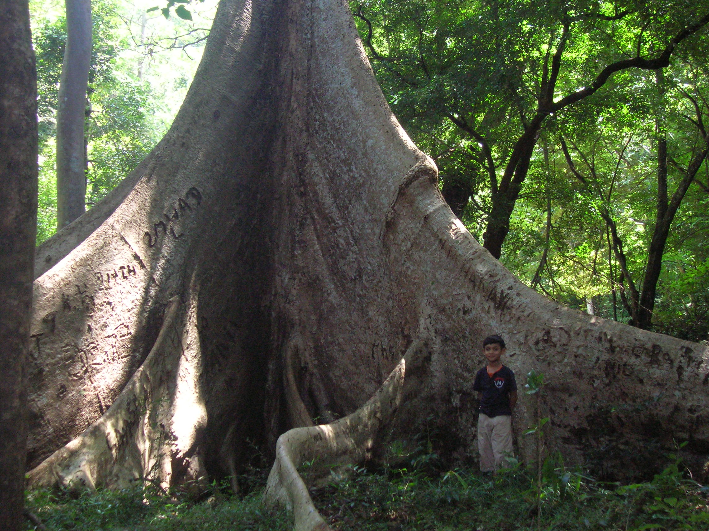
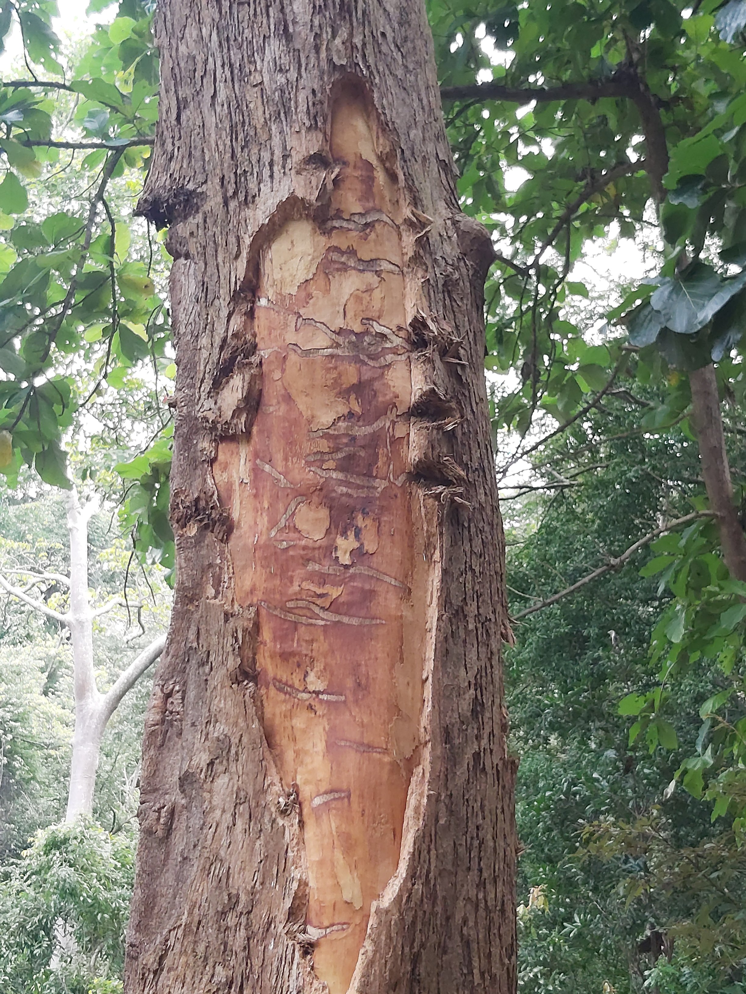
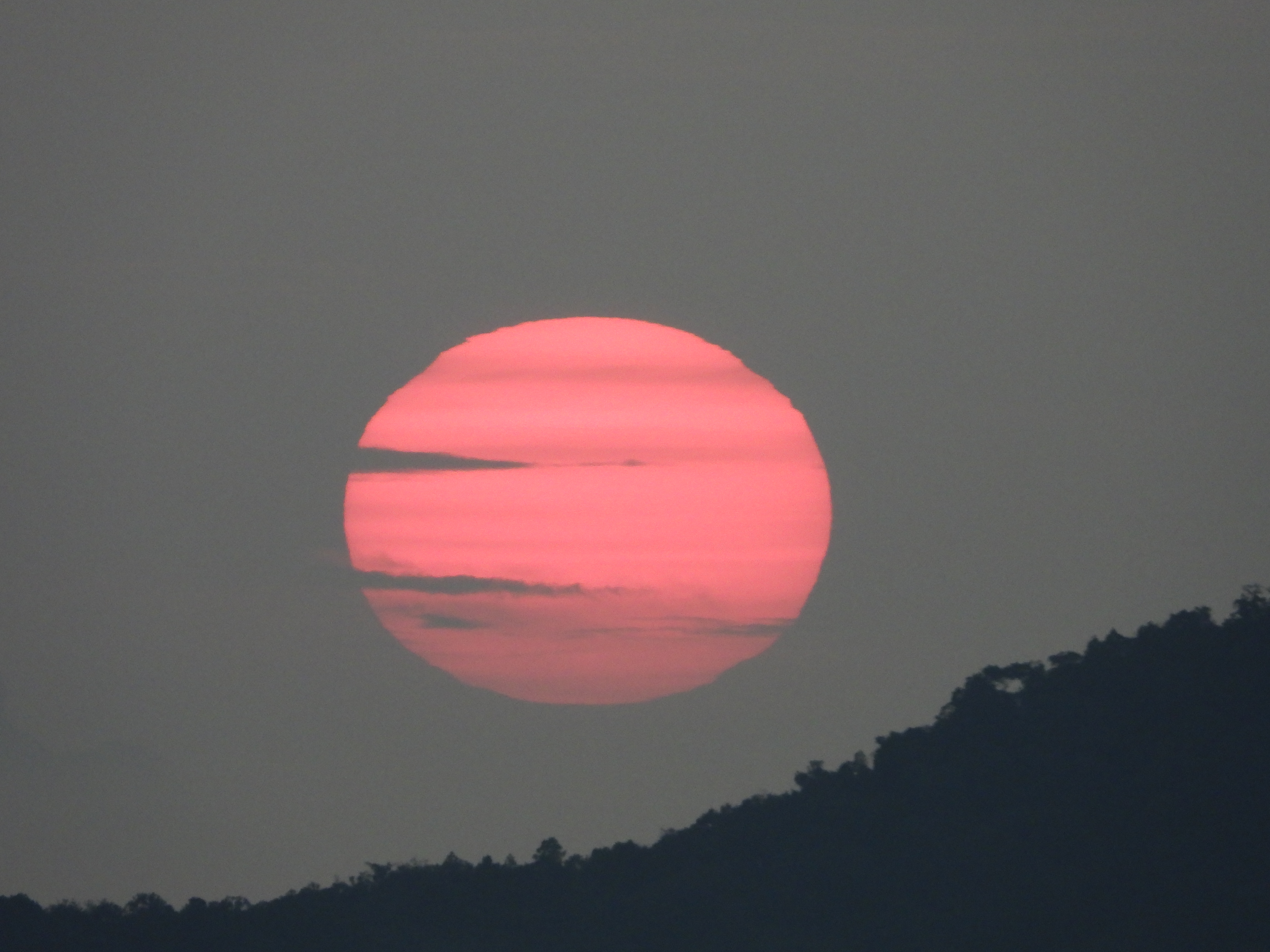
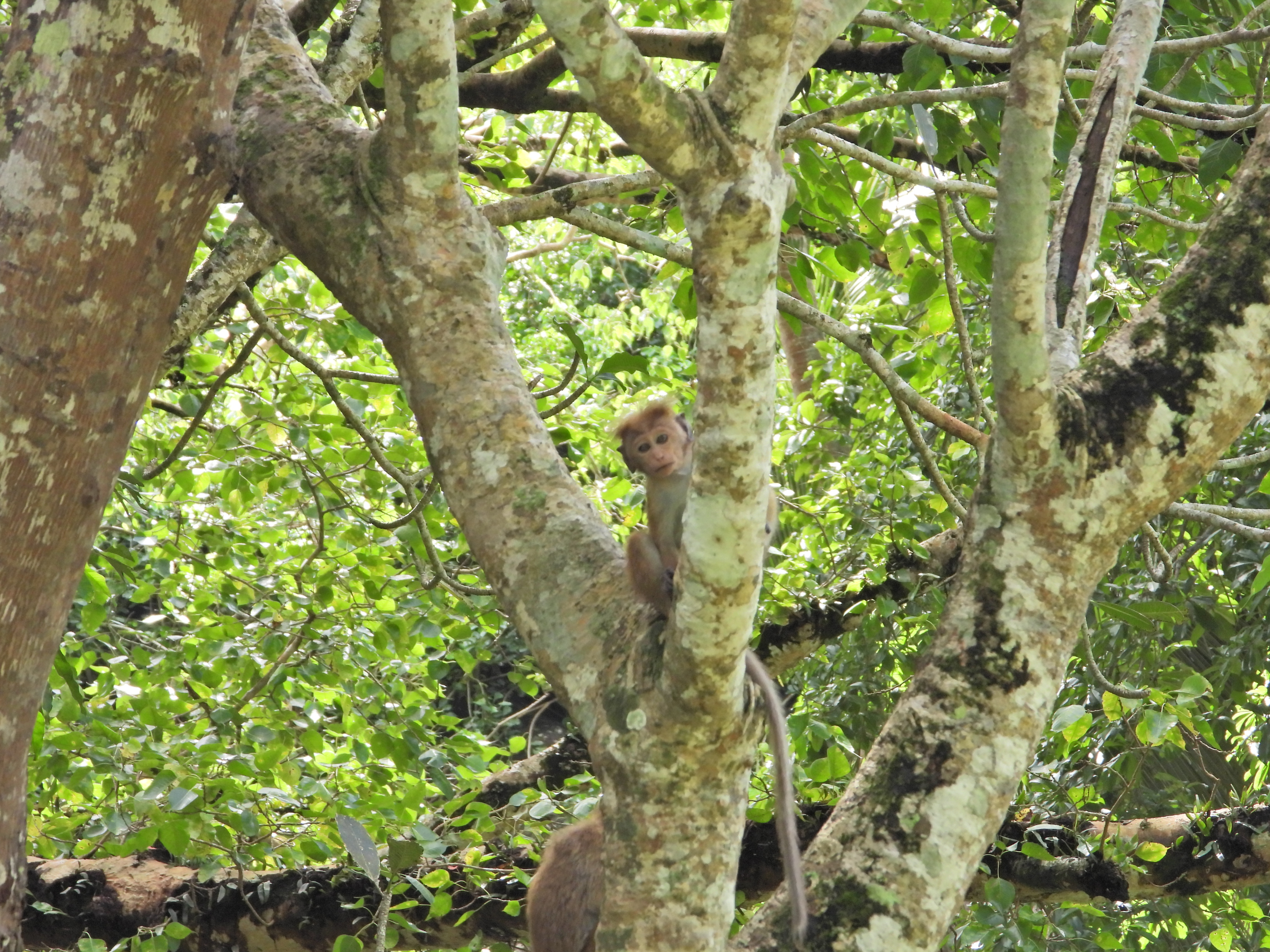
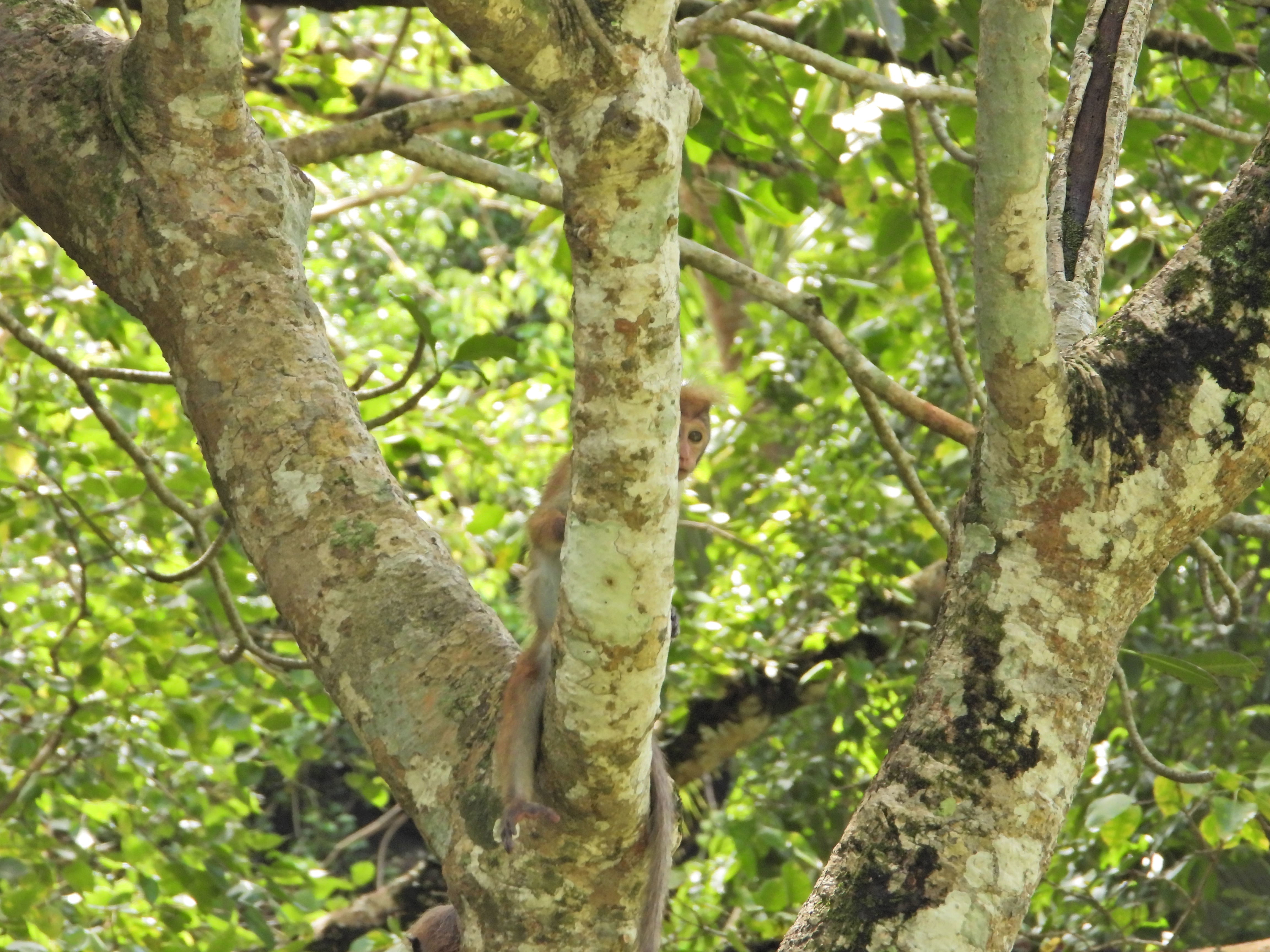
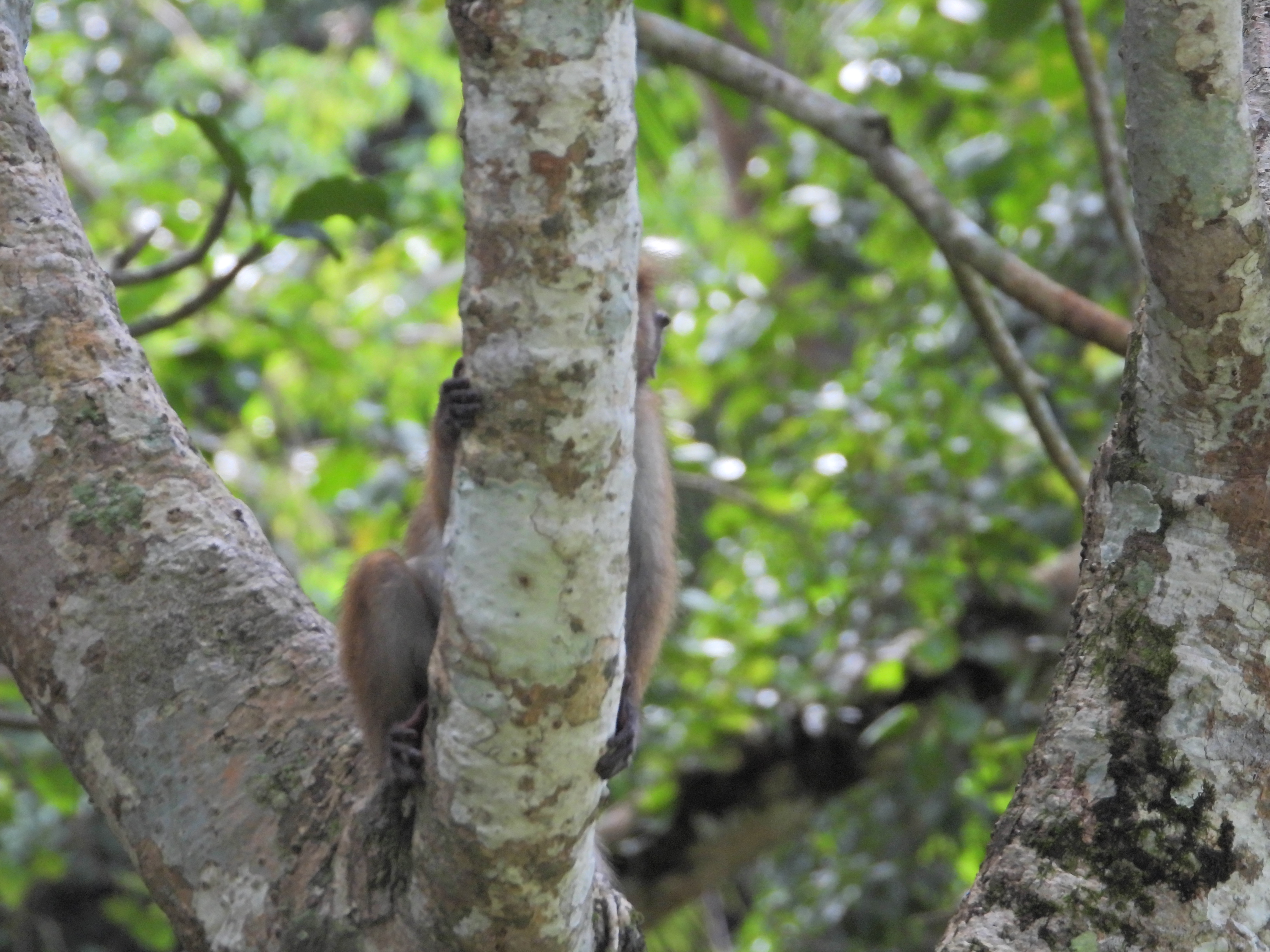
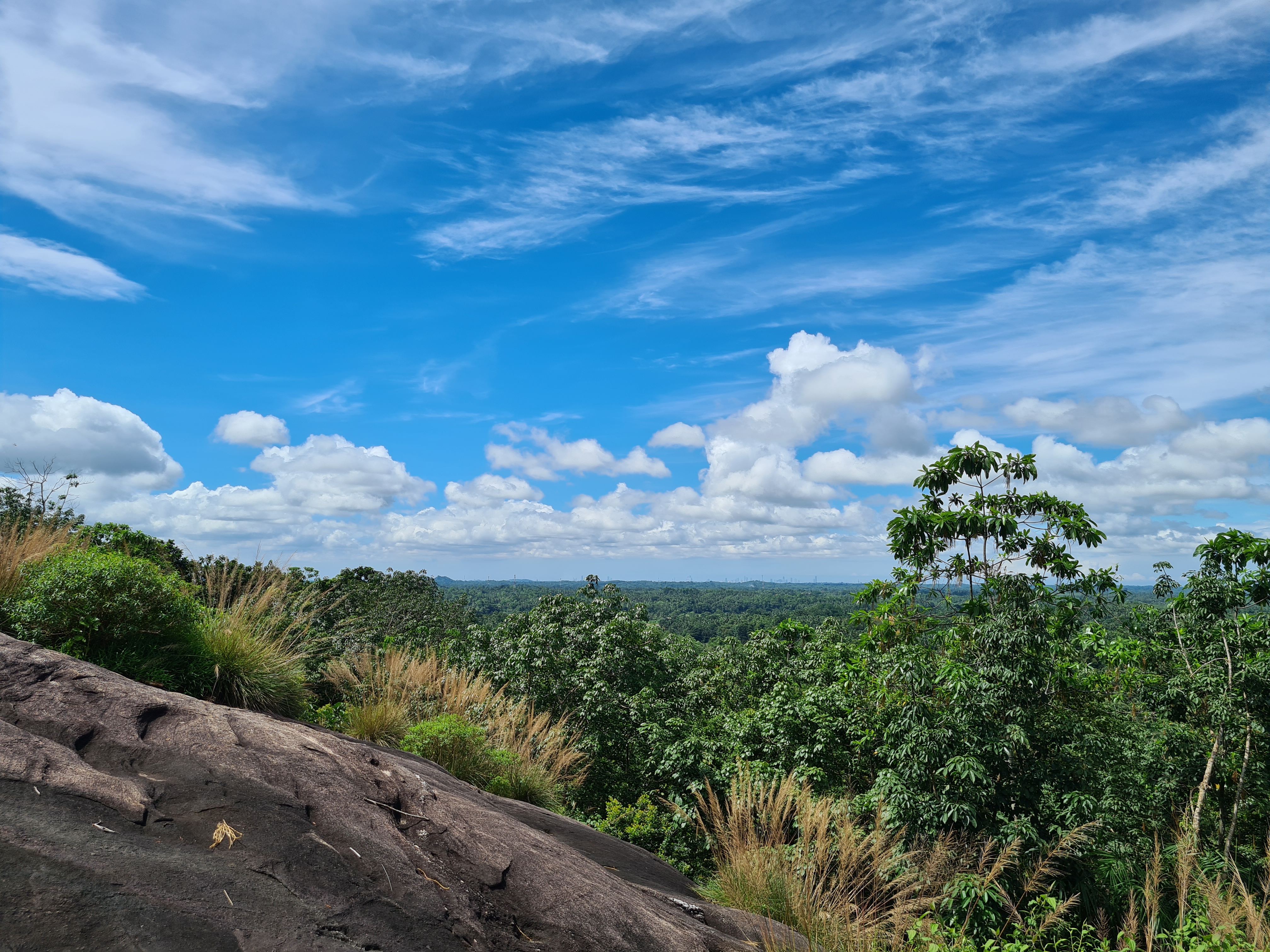
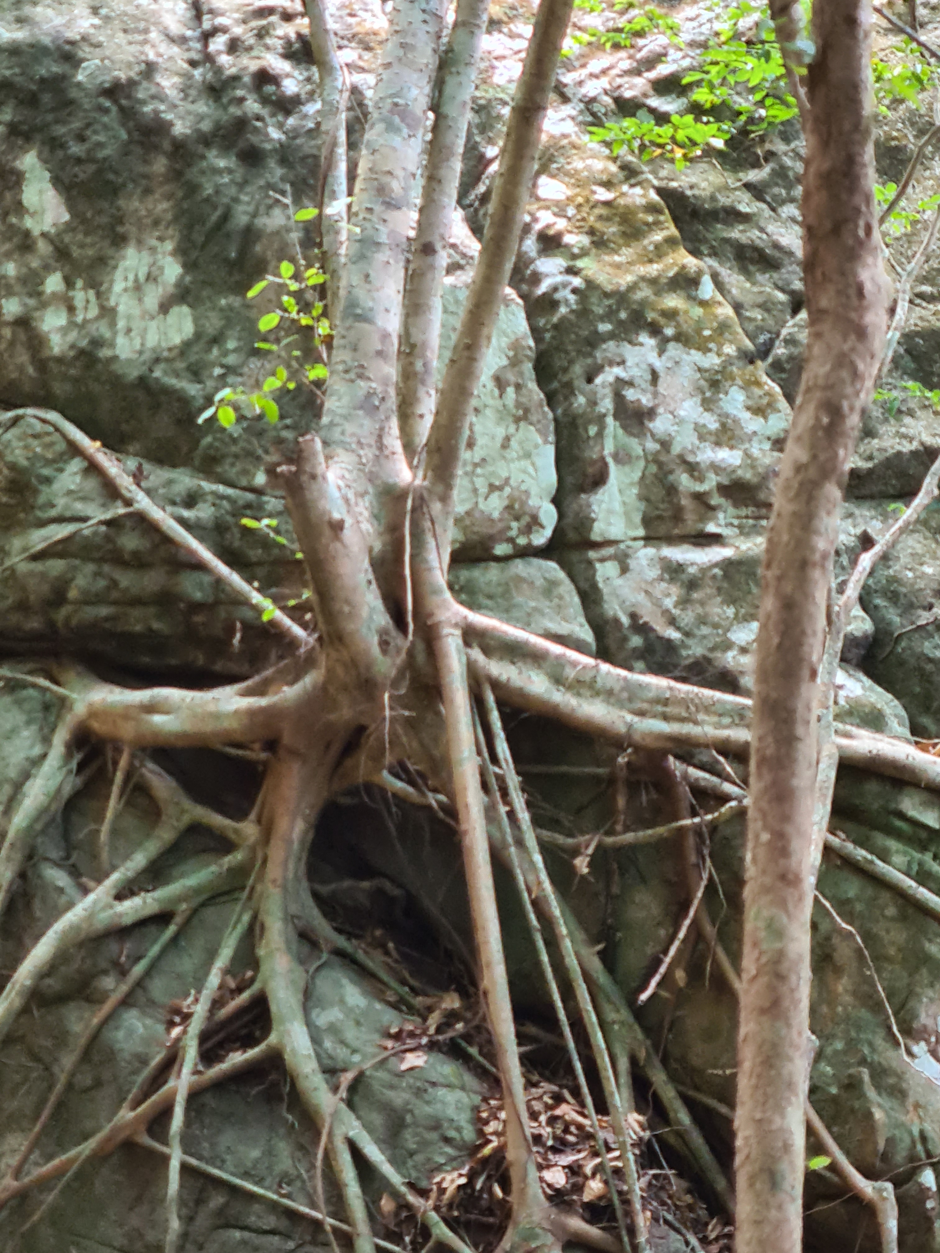
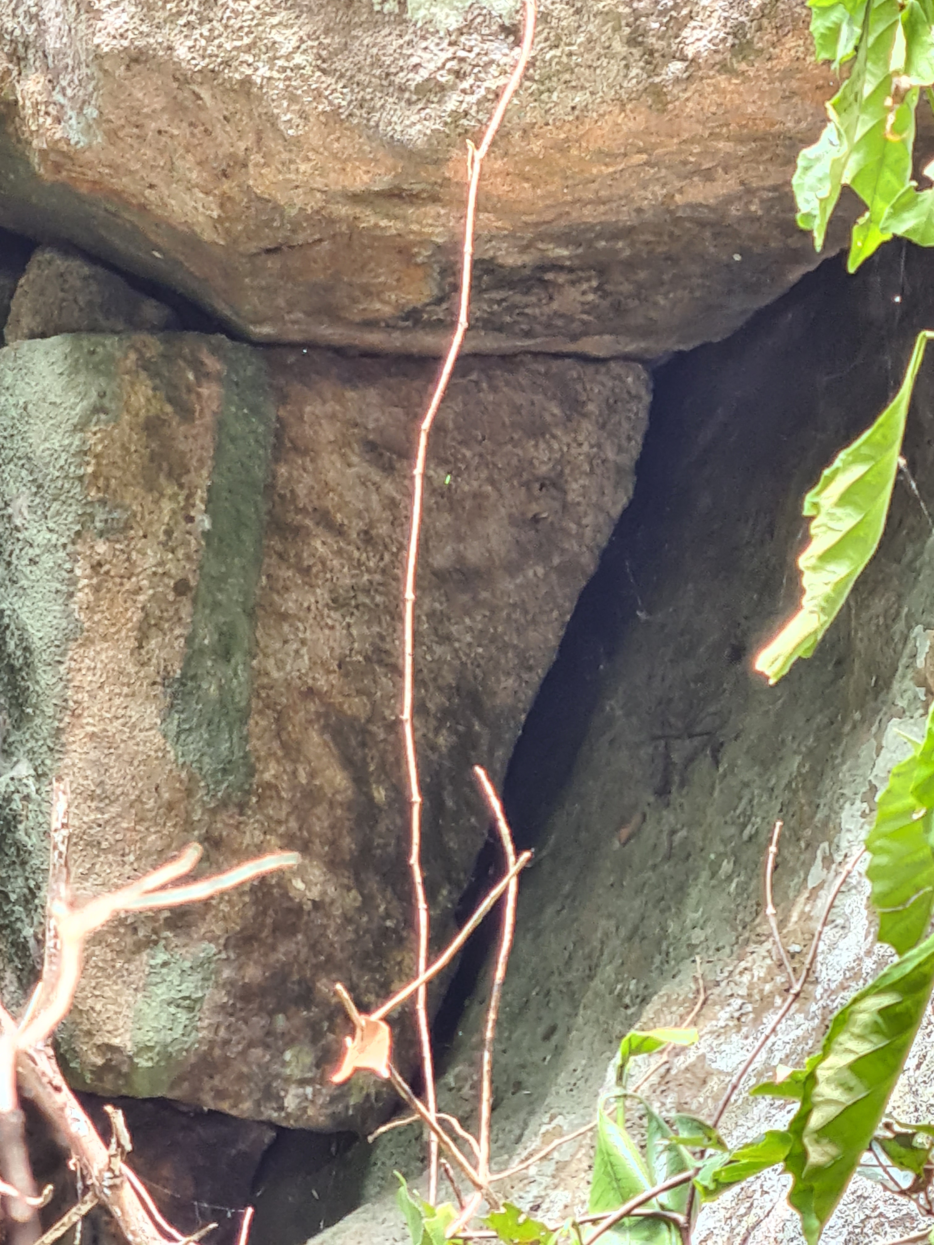
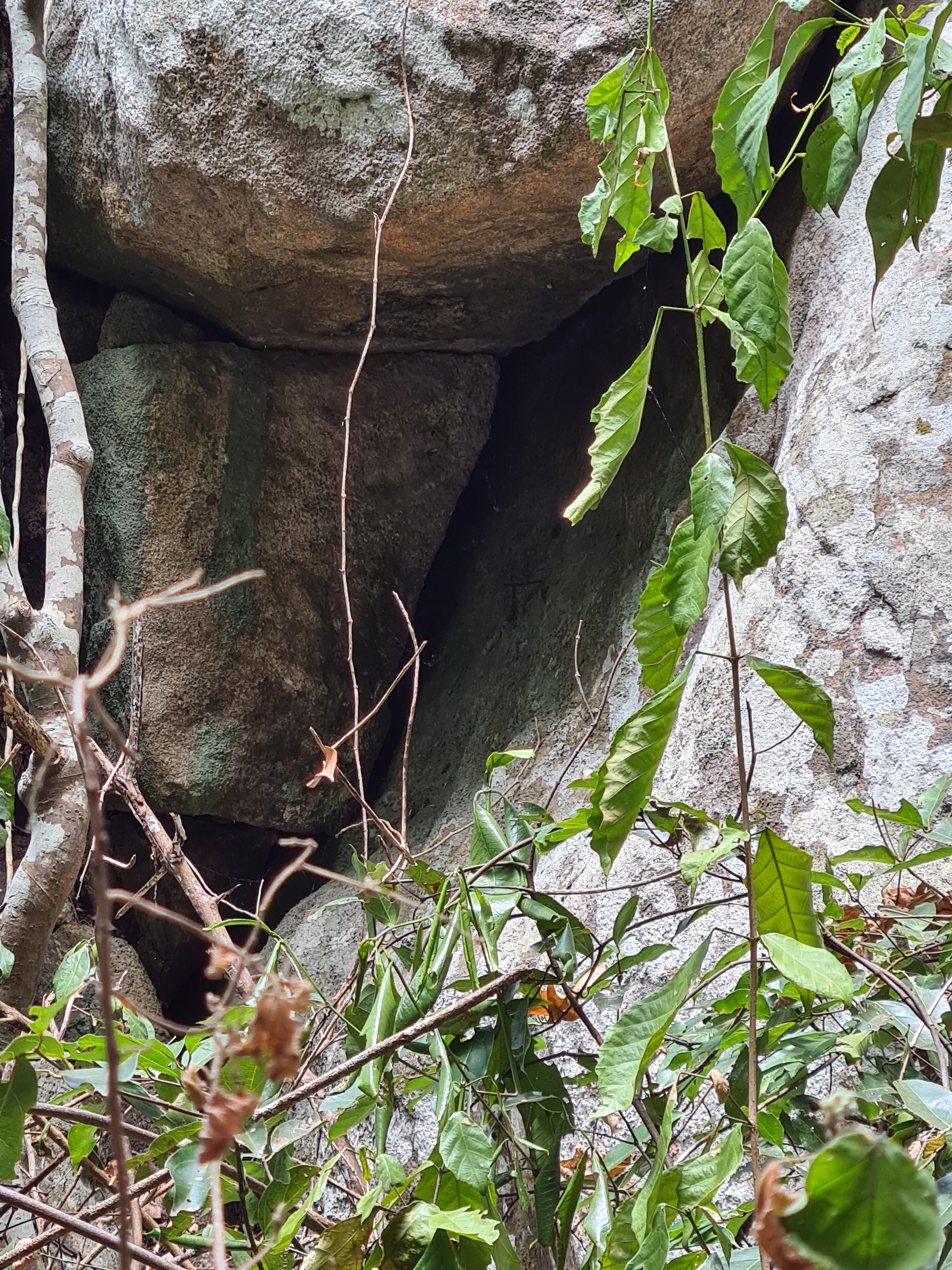
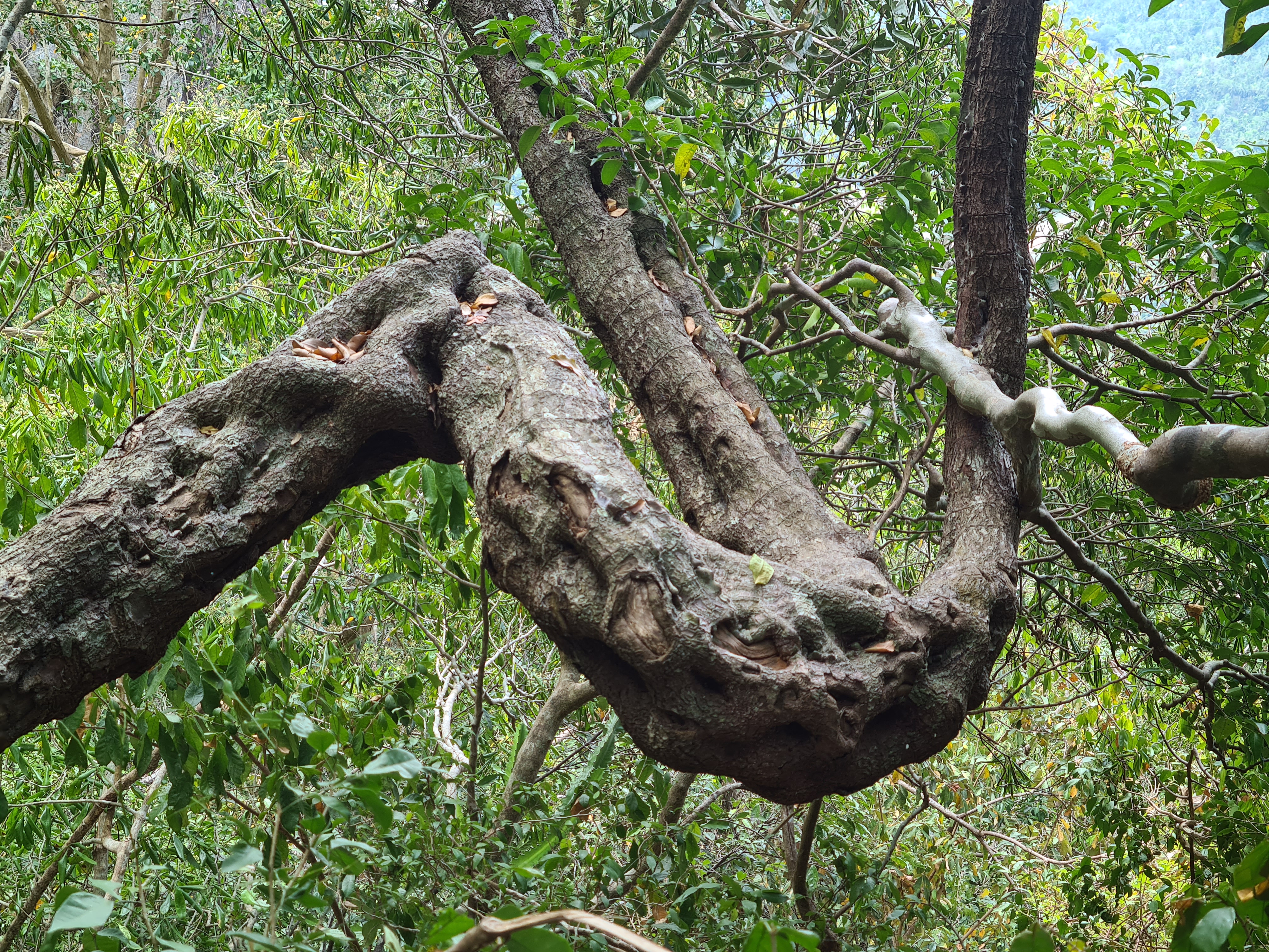
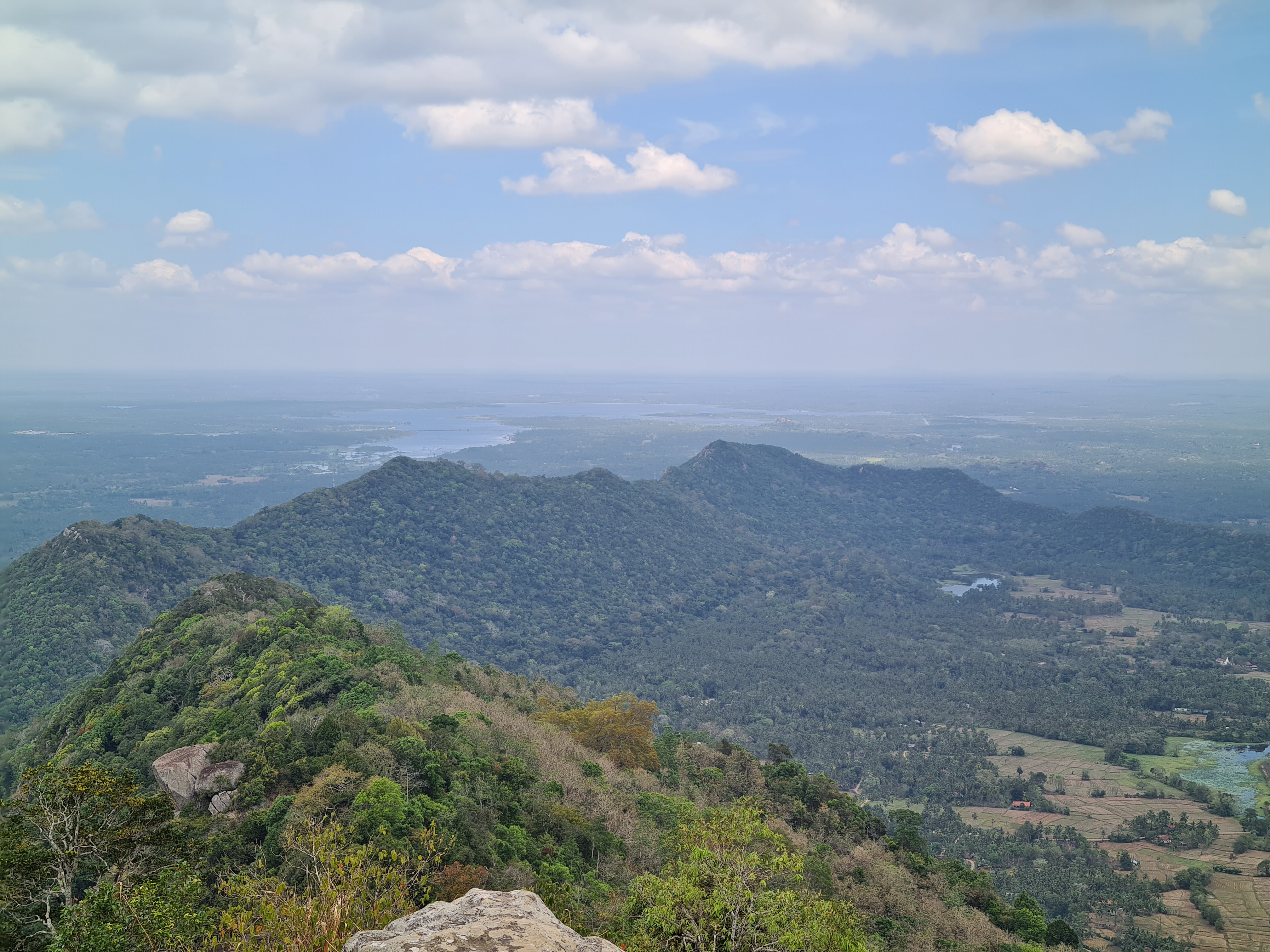
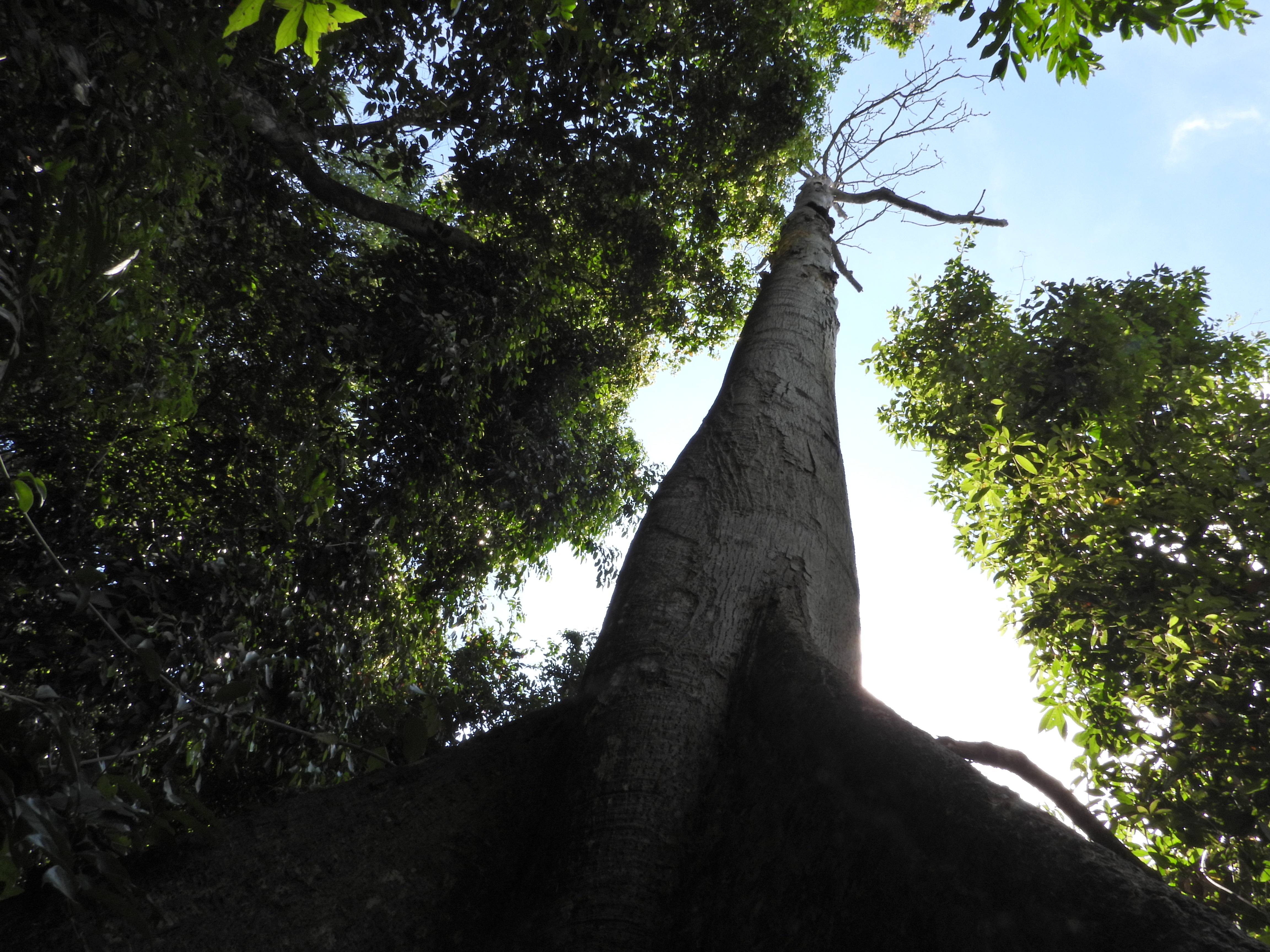
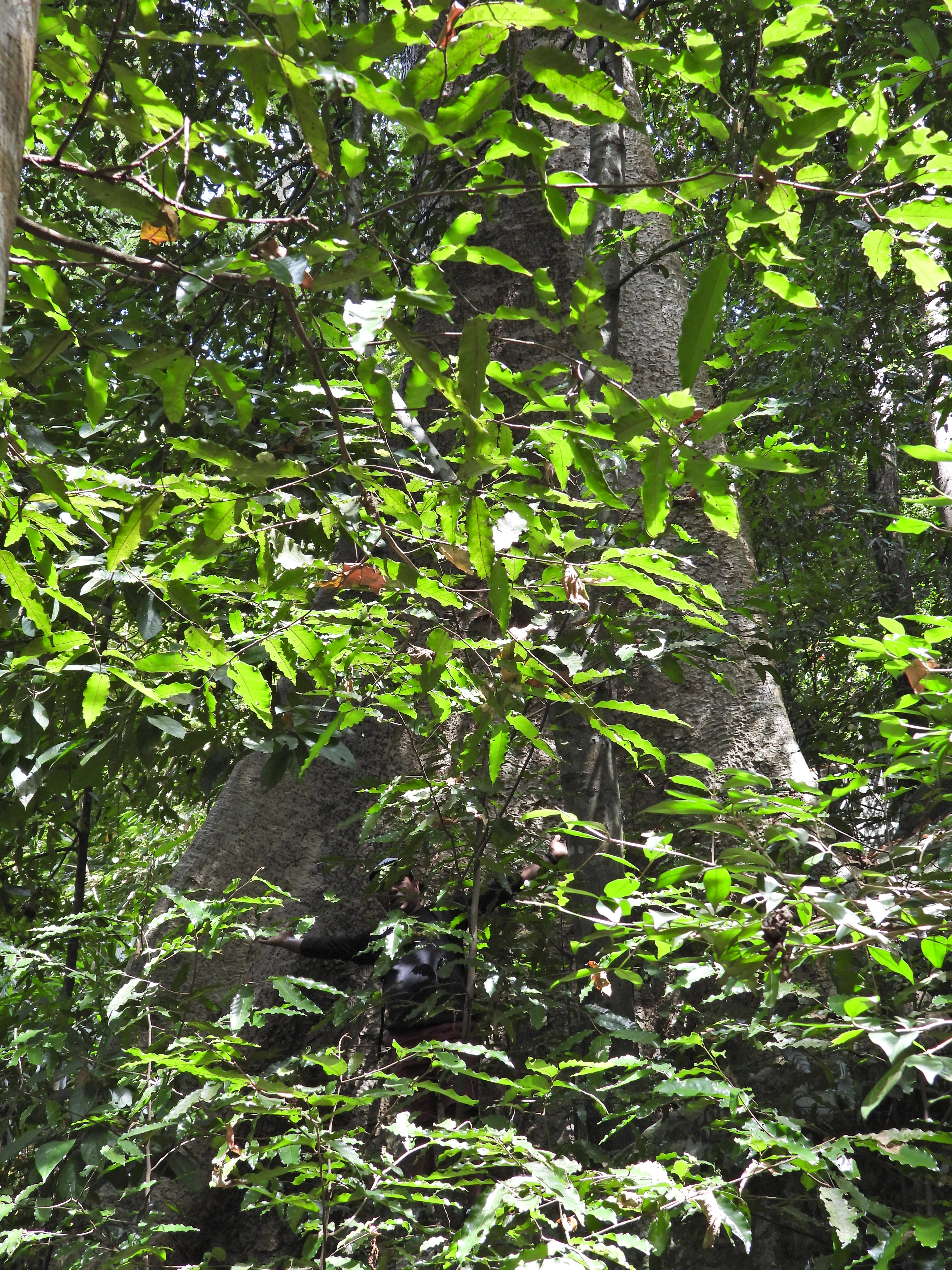
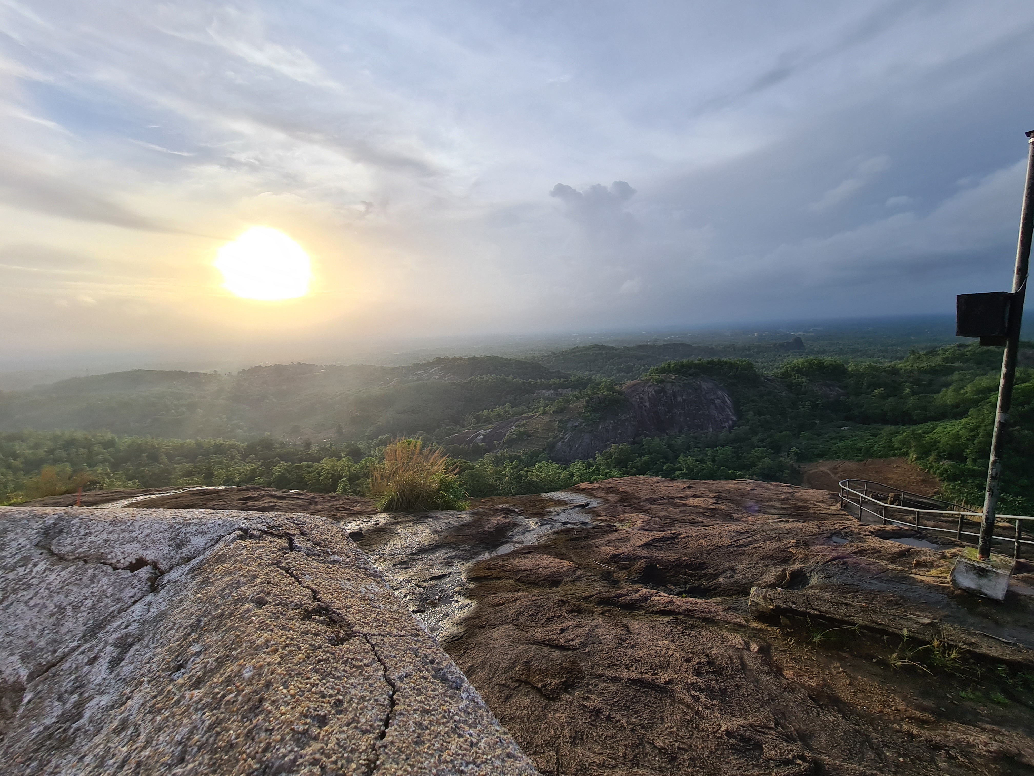
Dating back to the times prior to the arrival of King Vijaya in the country circa 500BC.shrouded in mystic lore, it is a mountain which has a strange appeal. It is one Iof the 3 Strict Nature Reserves in the country to protect its rich bio diversity. It has distinct climatic zones and vegetation that changes as one climbs up the hill. There is a noticeable change in climate with the higher levels vegetated with short shrubbery of the hill country laden with moss.

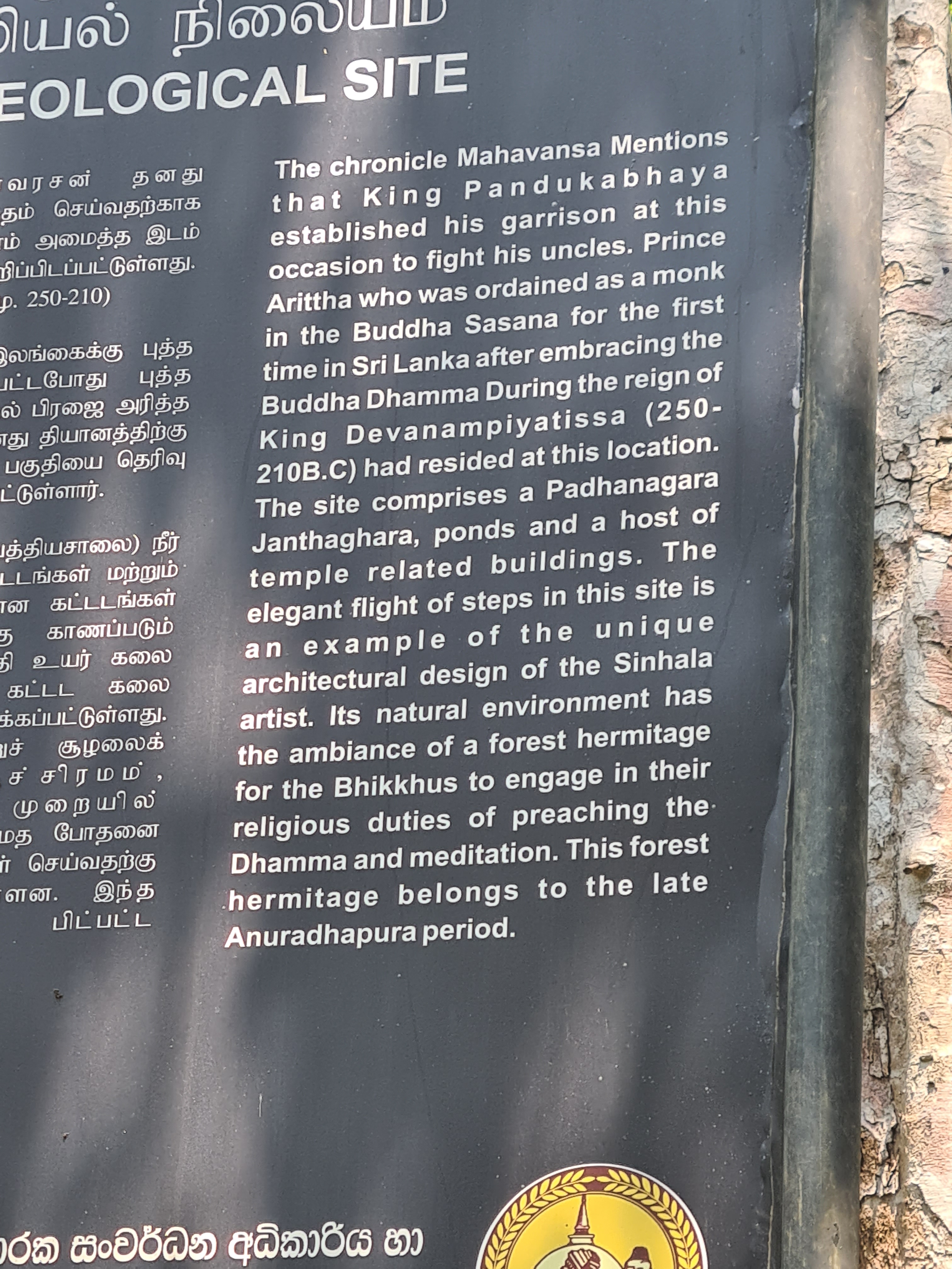
It is said to be fortress of one of the aboriginal clans of Sri Lanka, the Yakkas. This mountain is said to be the base of the first Sri Lankan born King Pandukabahaya who together with the Yaksha clan defeated his nine uncles to become King in Anuradhapura. This mountain is also said to be the place from which Hanuman, of the Ramayana tale, is said to have leaped back to South India some 3000 years BC. This is indeed the highest prominence between Sri Lanka and South India.

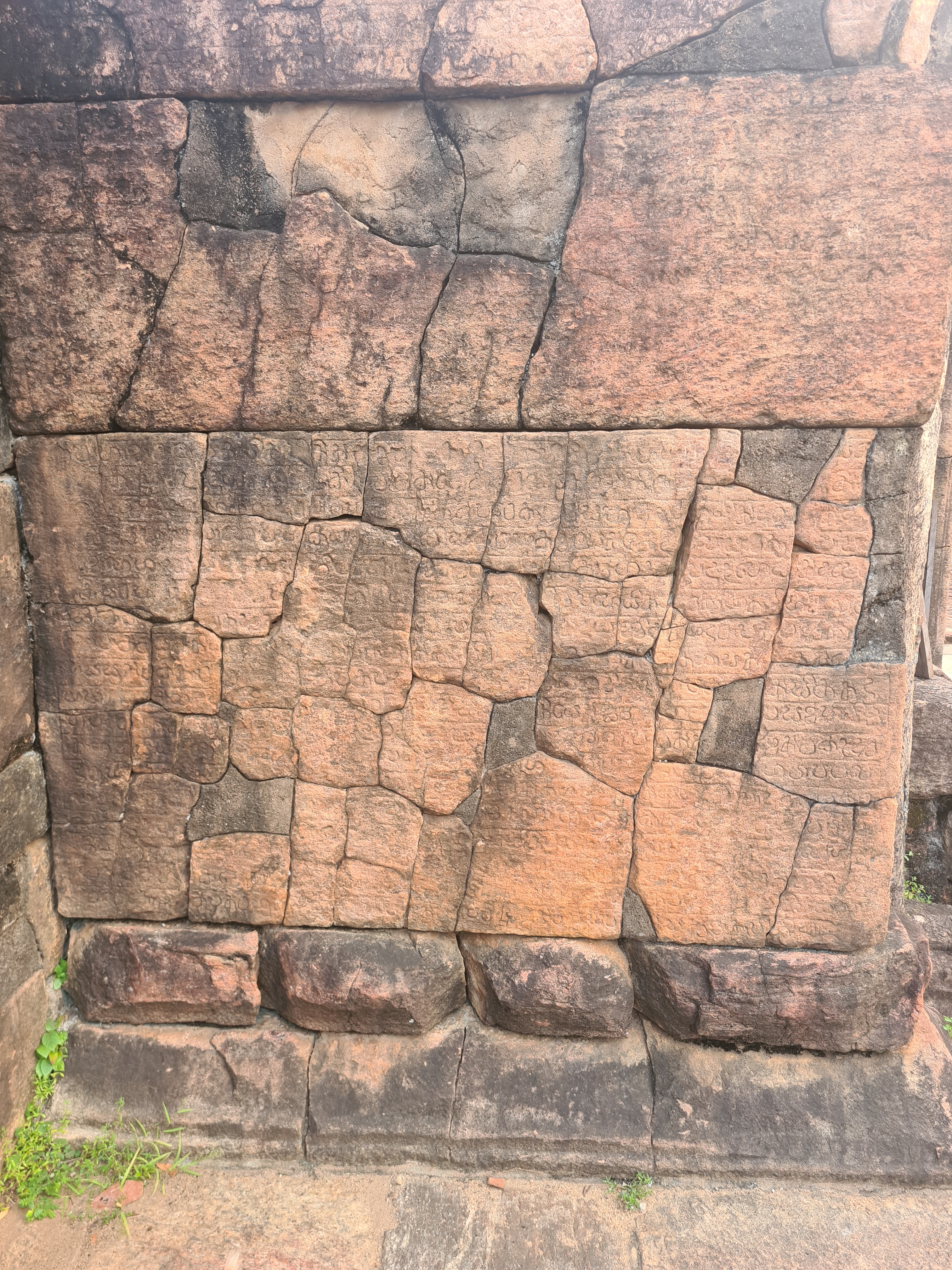
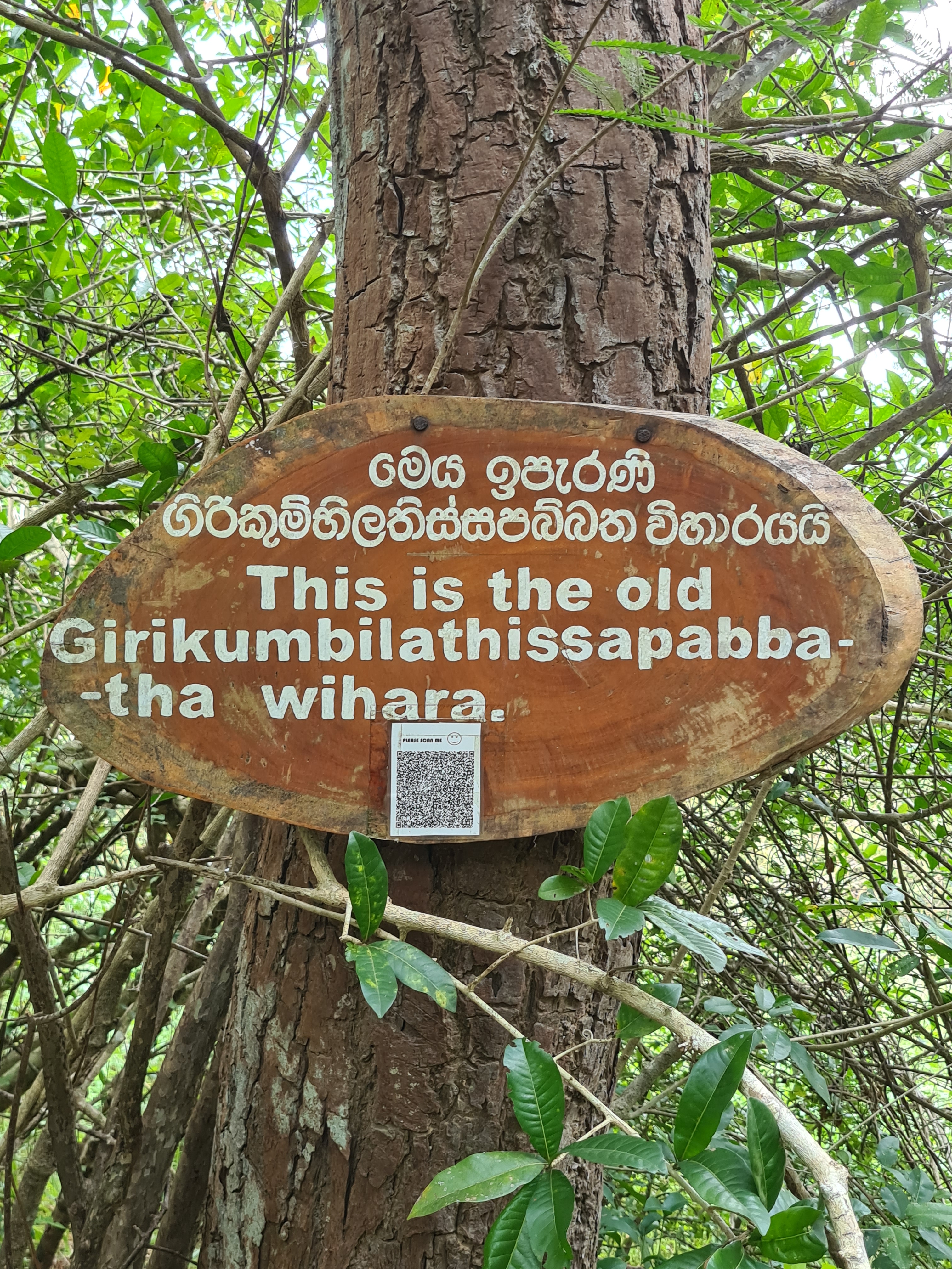
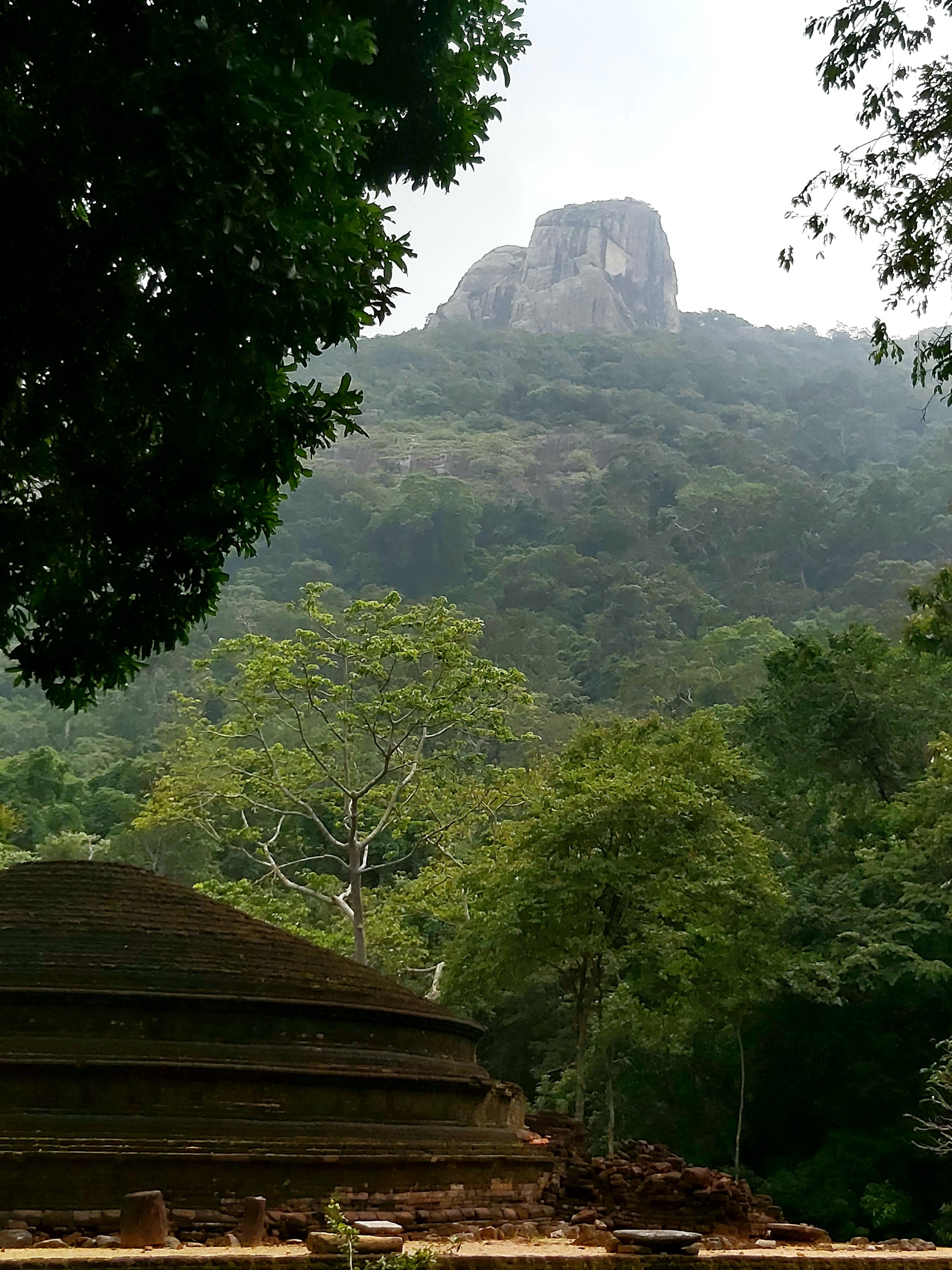
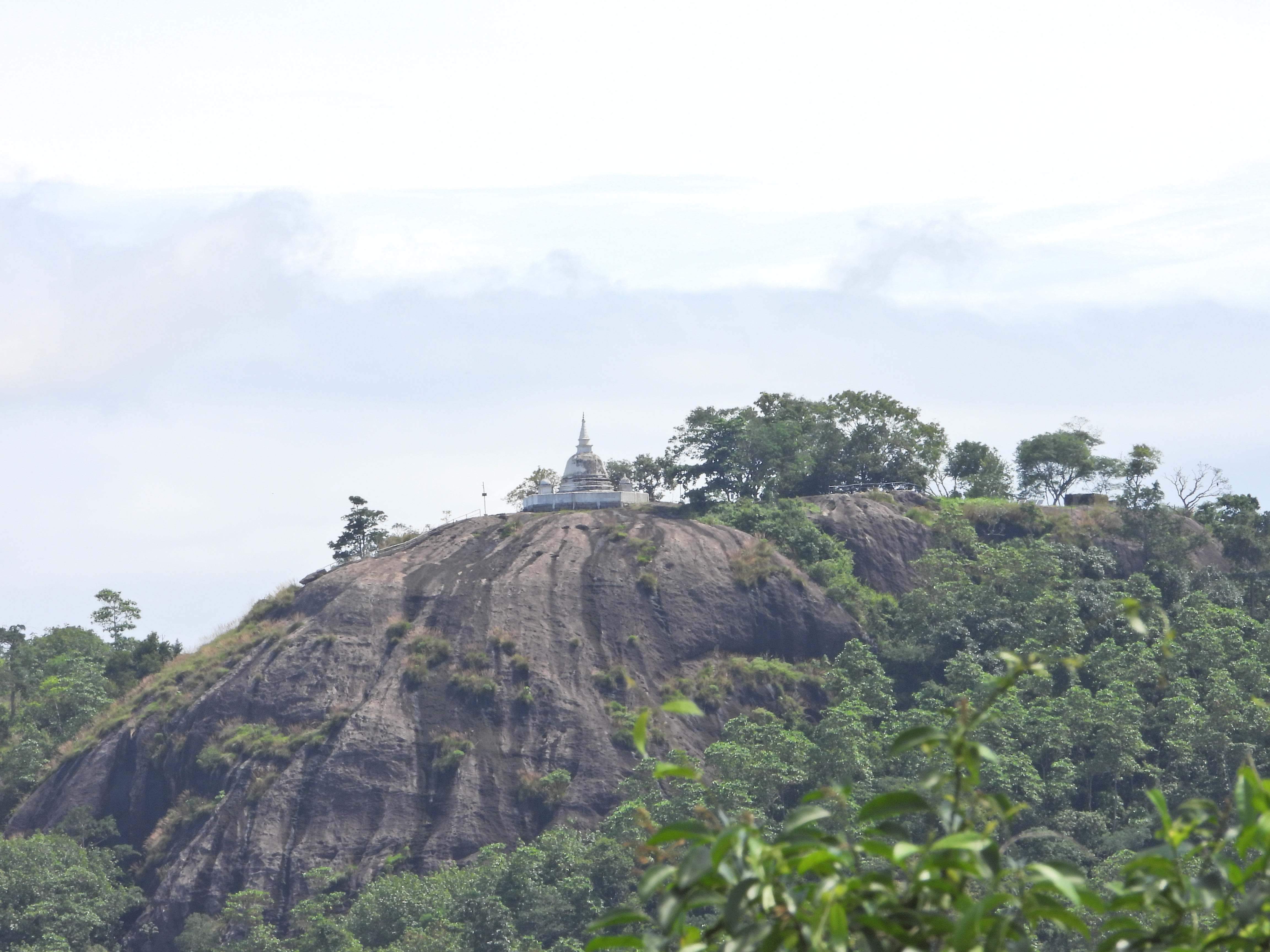
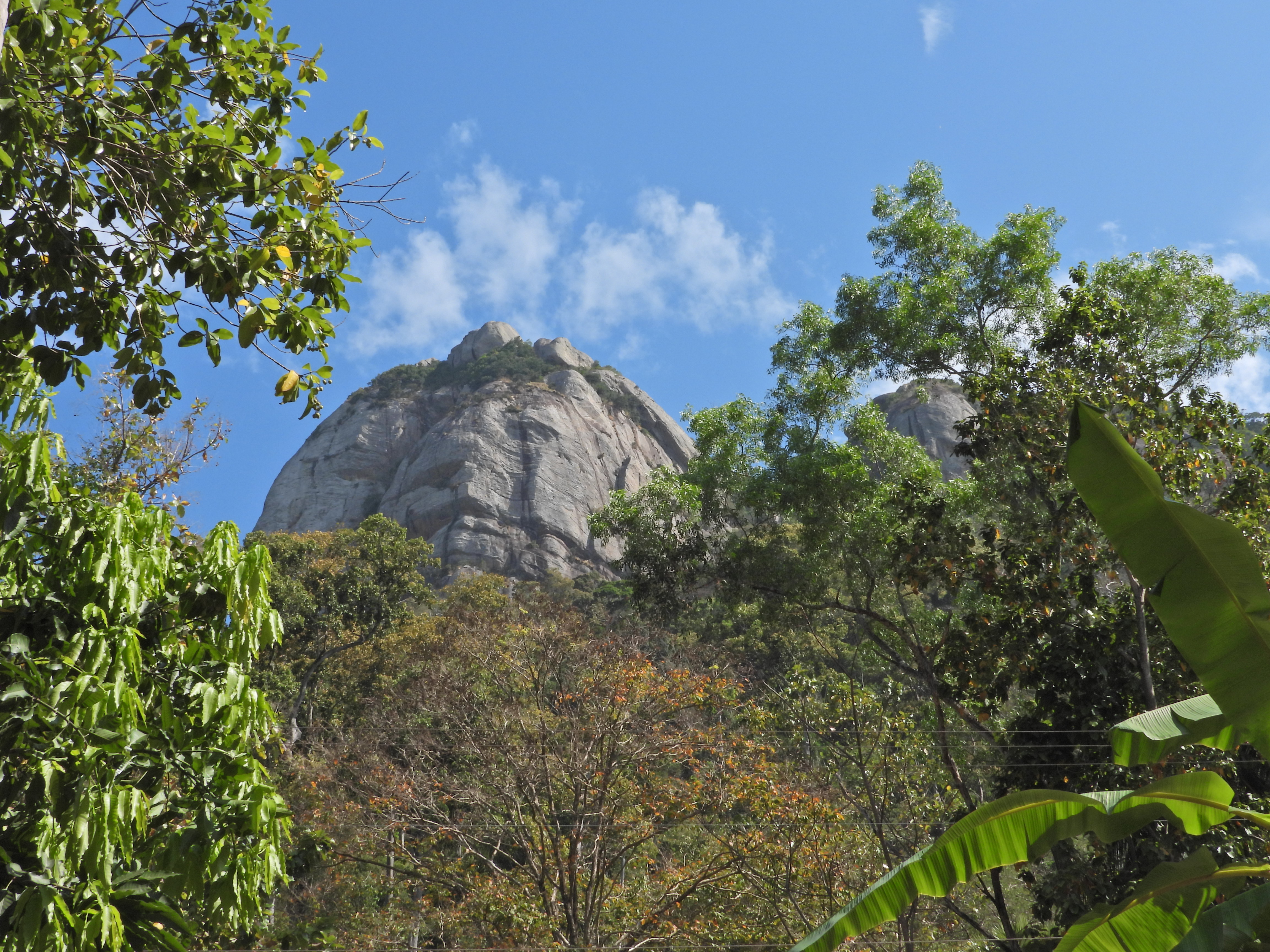
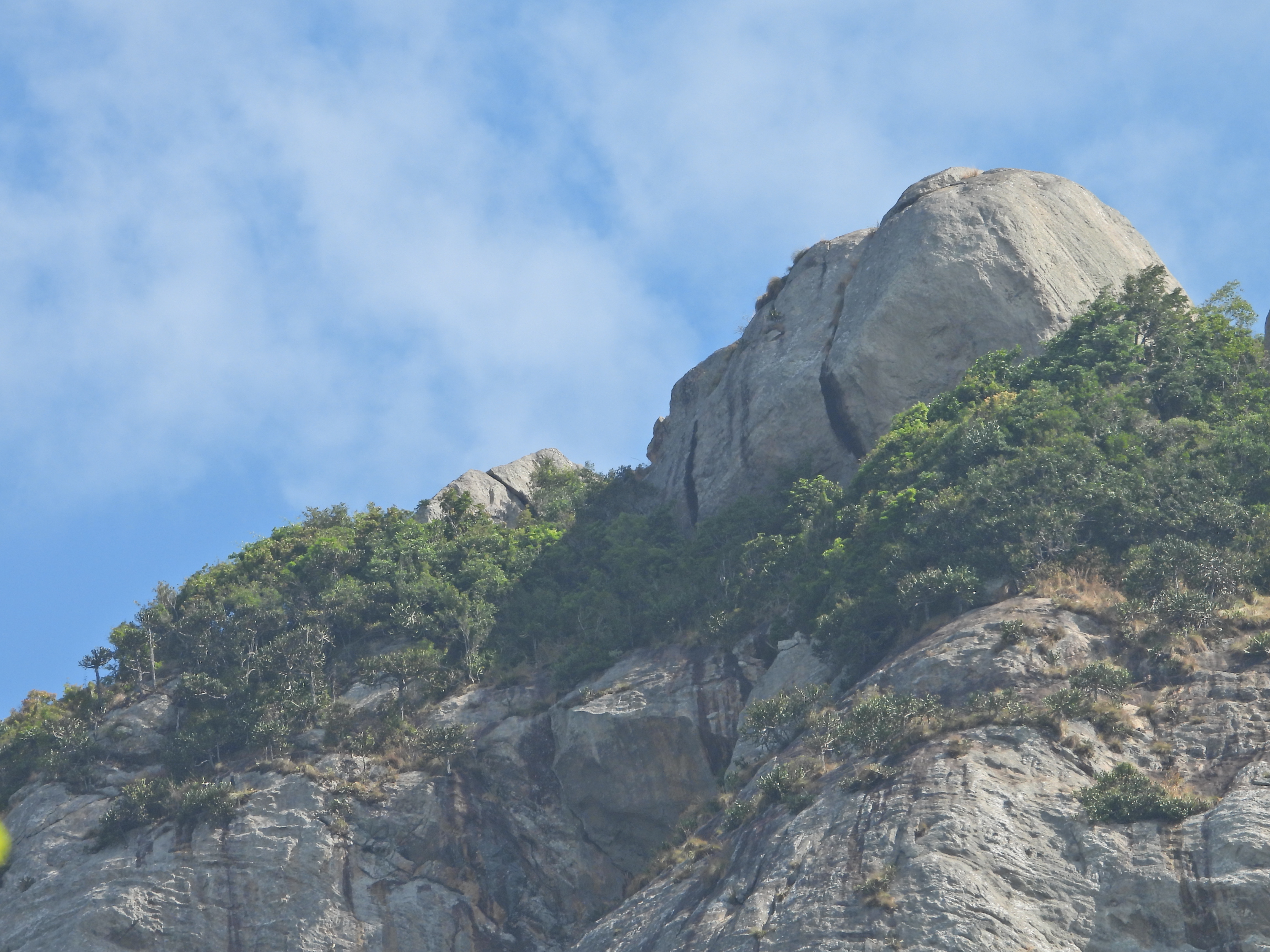
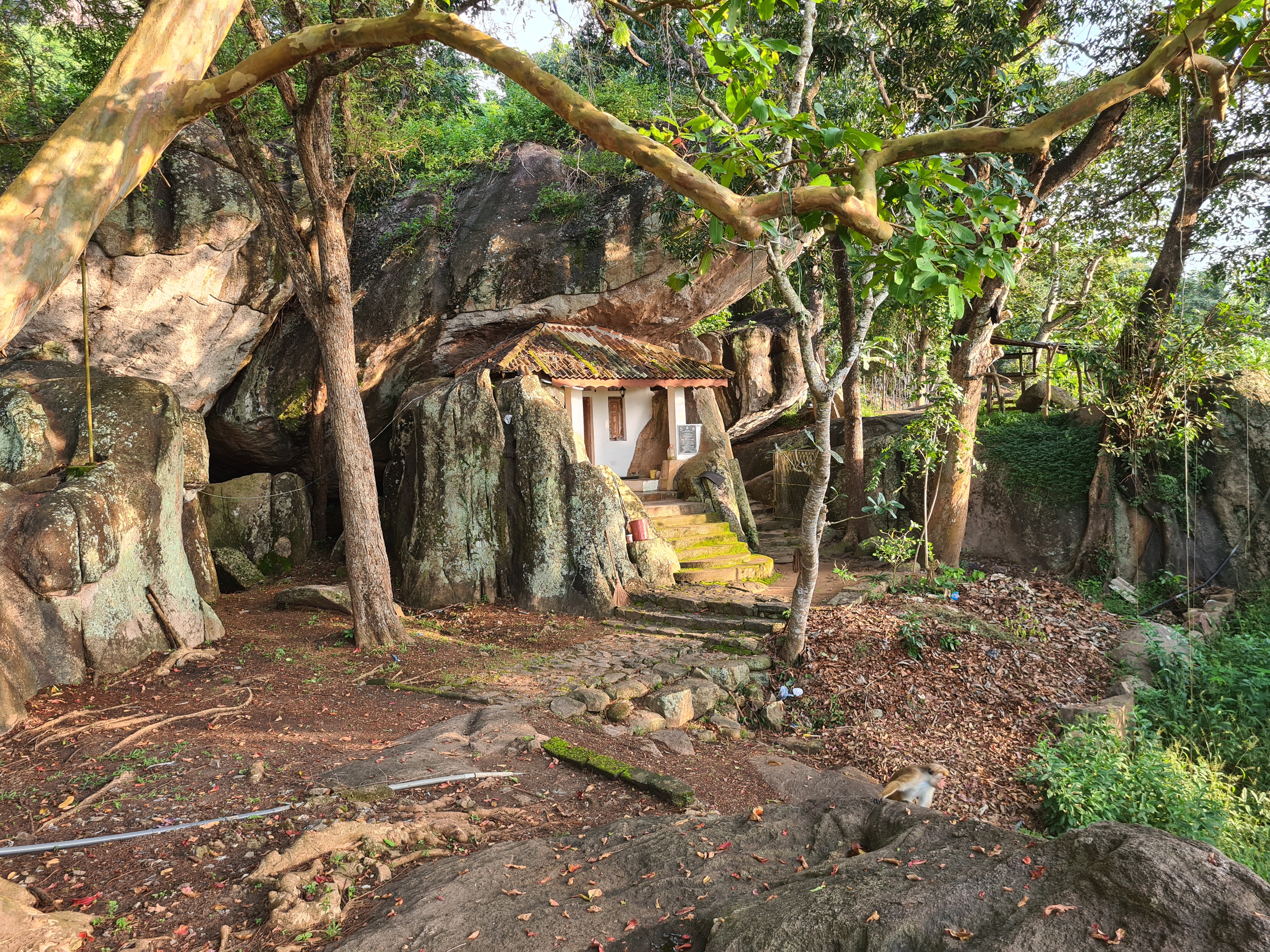
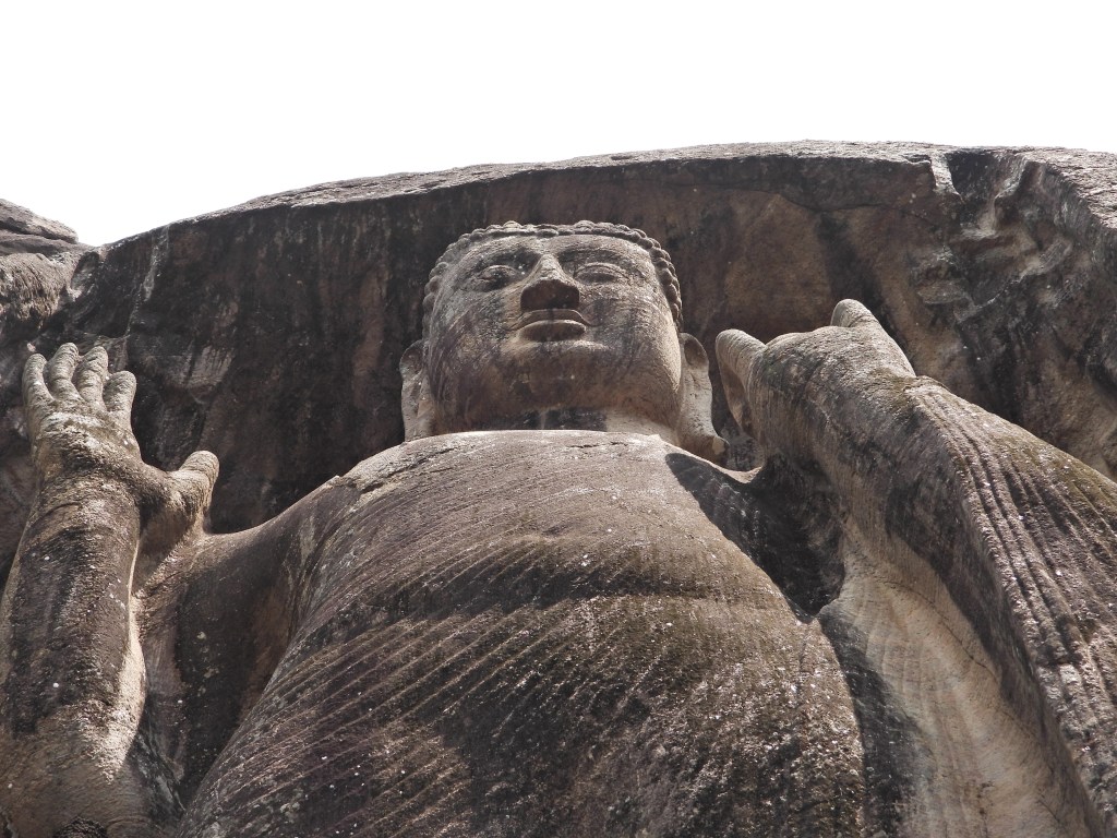
The mountain, which is about 765m tall is also called Arittha Pabbata, or Arritha rock in honor of the first Sri Lankan Arahant who is supposed to have made this his jungle retreat. The area is also home to the ancient Sri Lankan martial art Angampora.

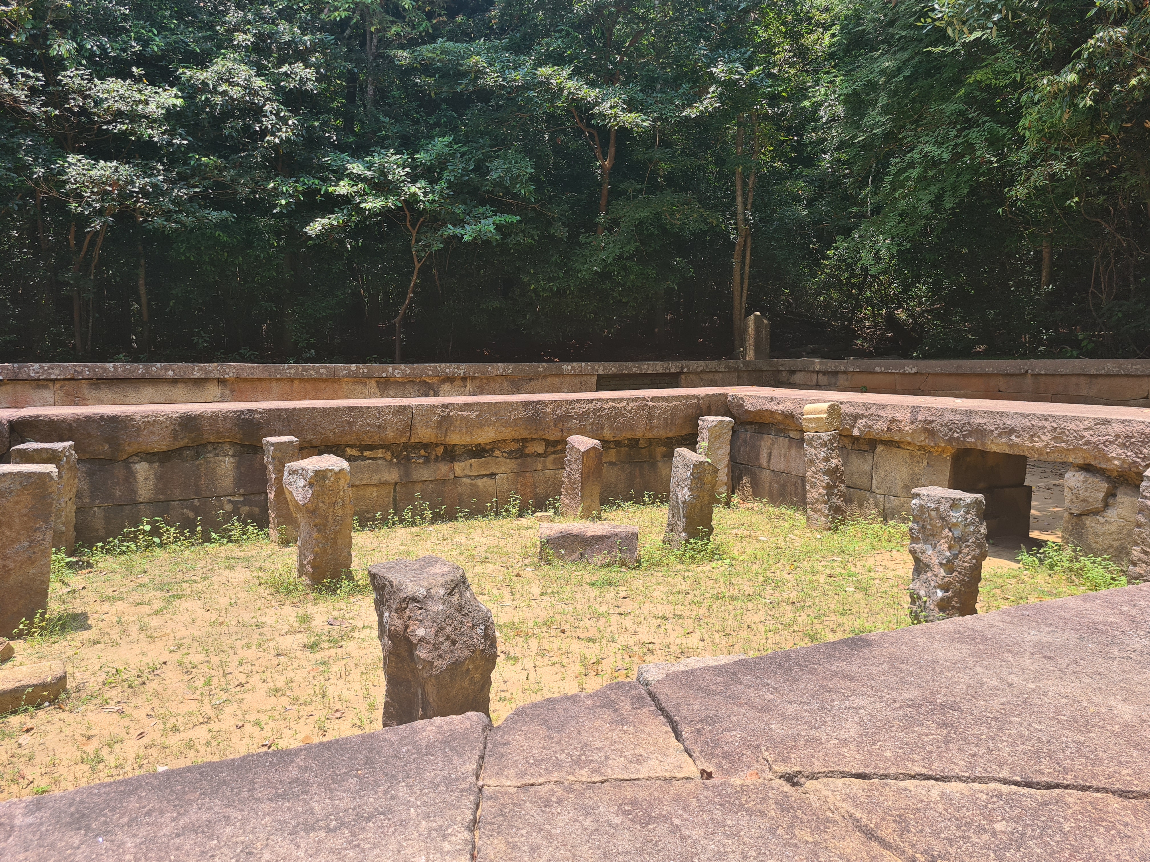
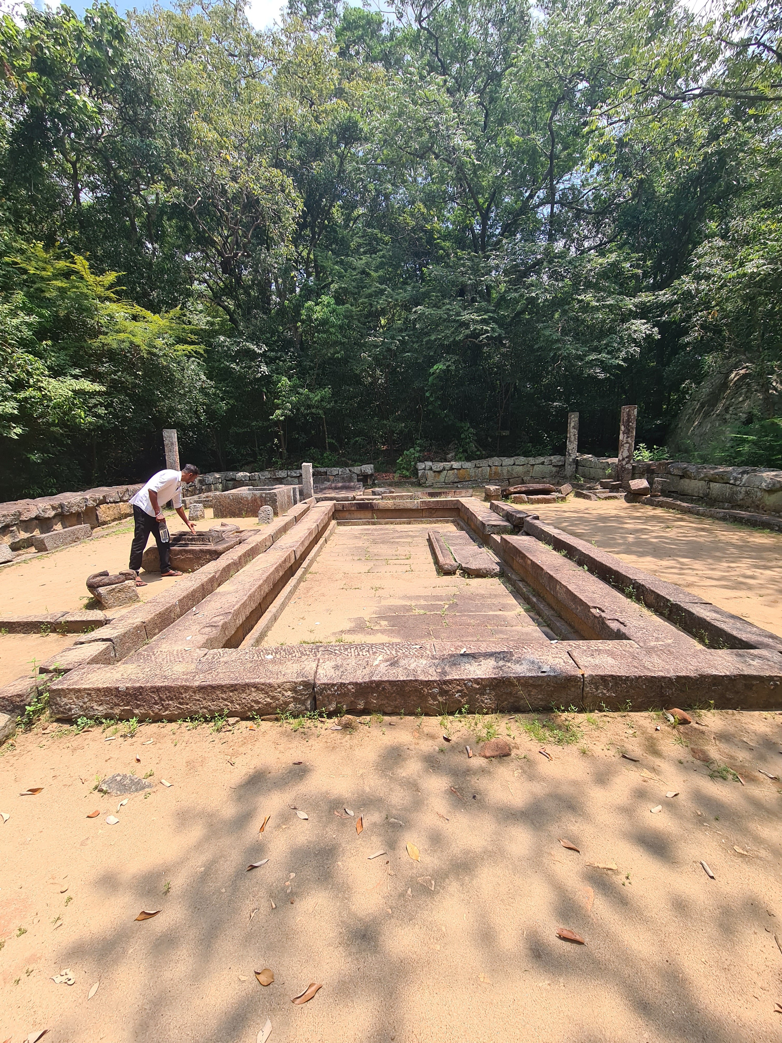
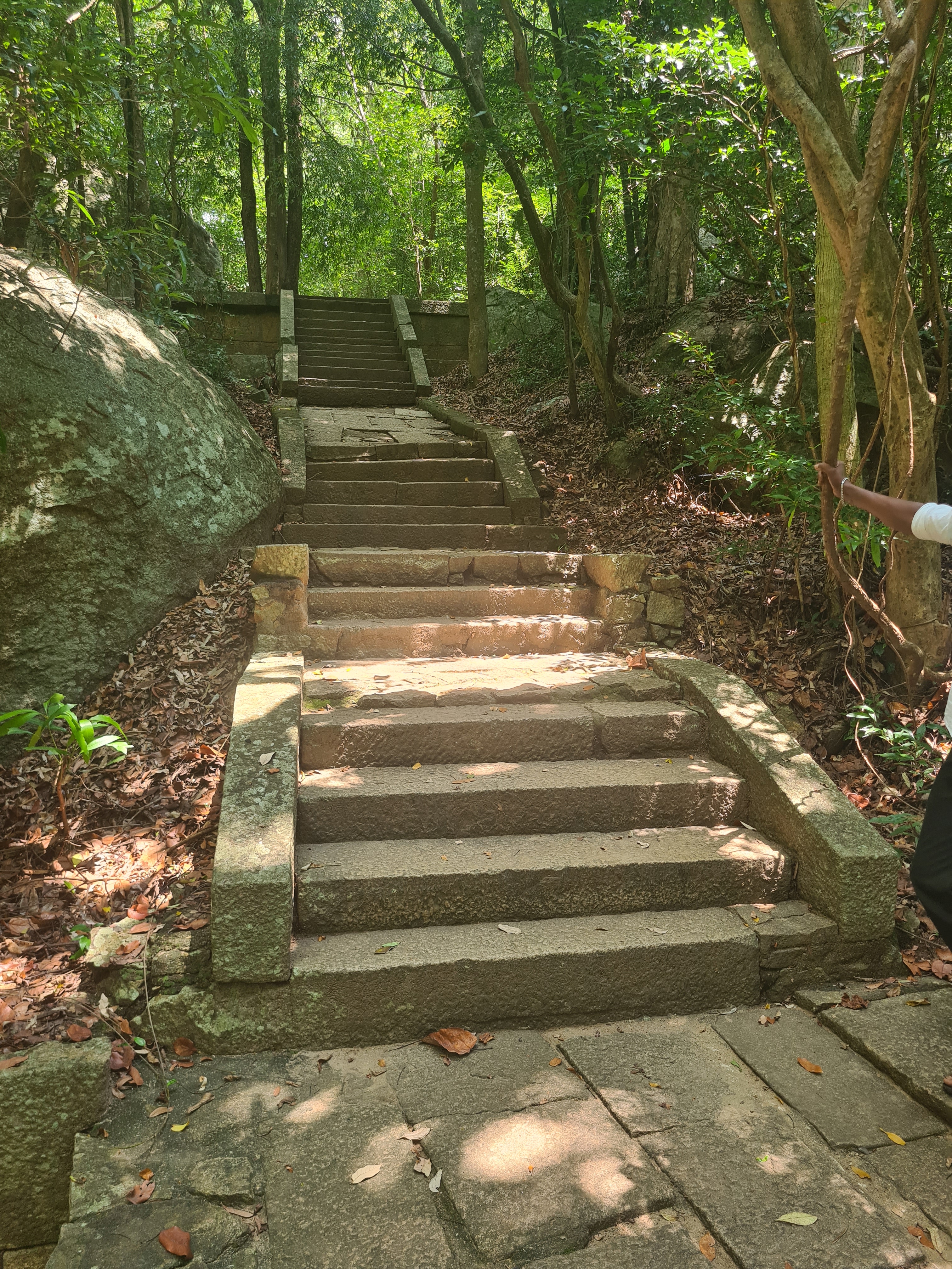
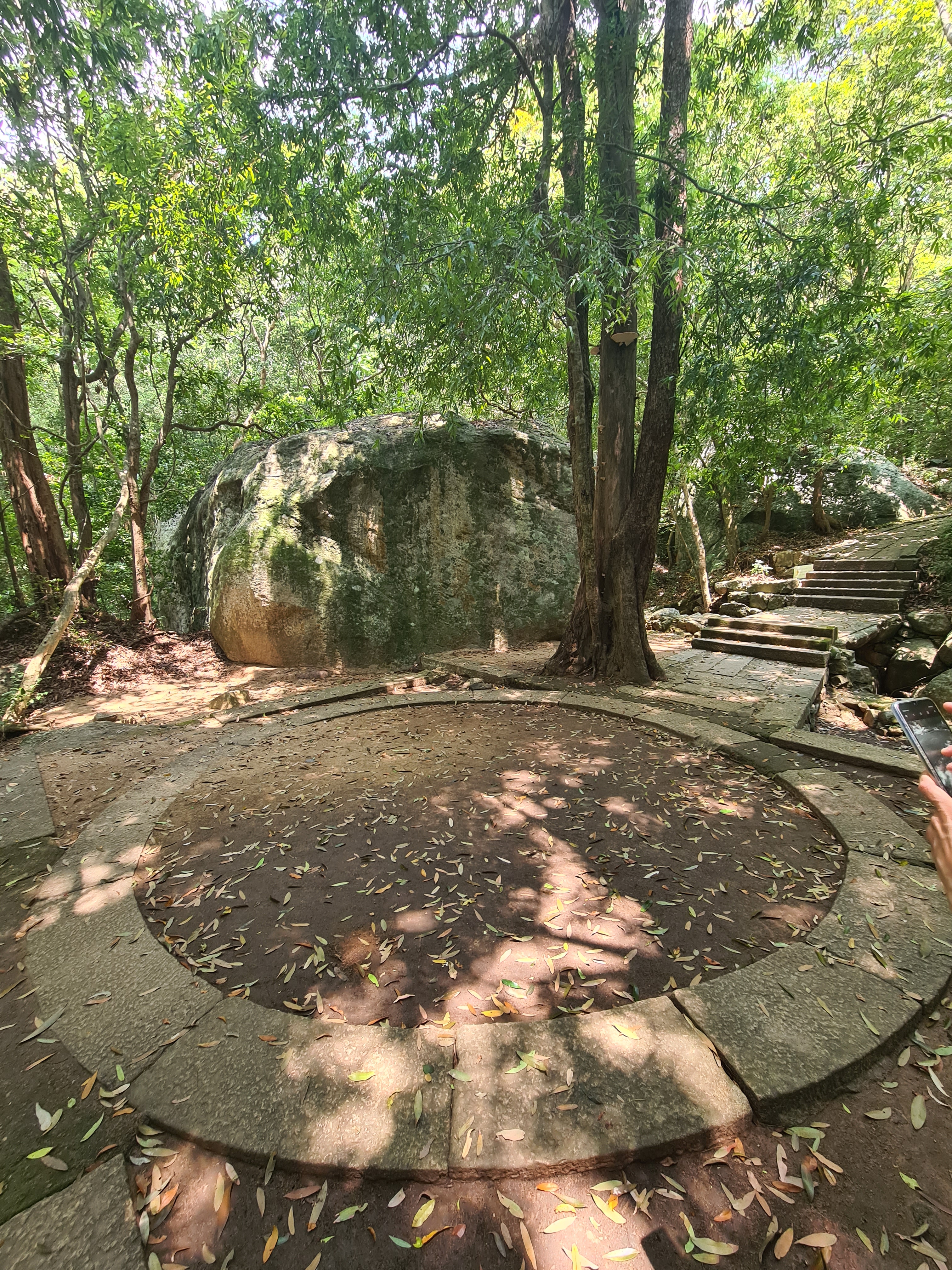
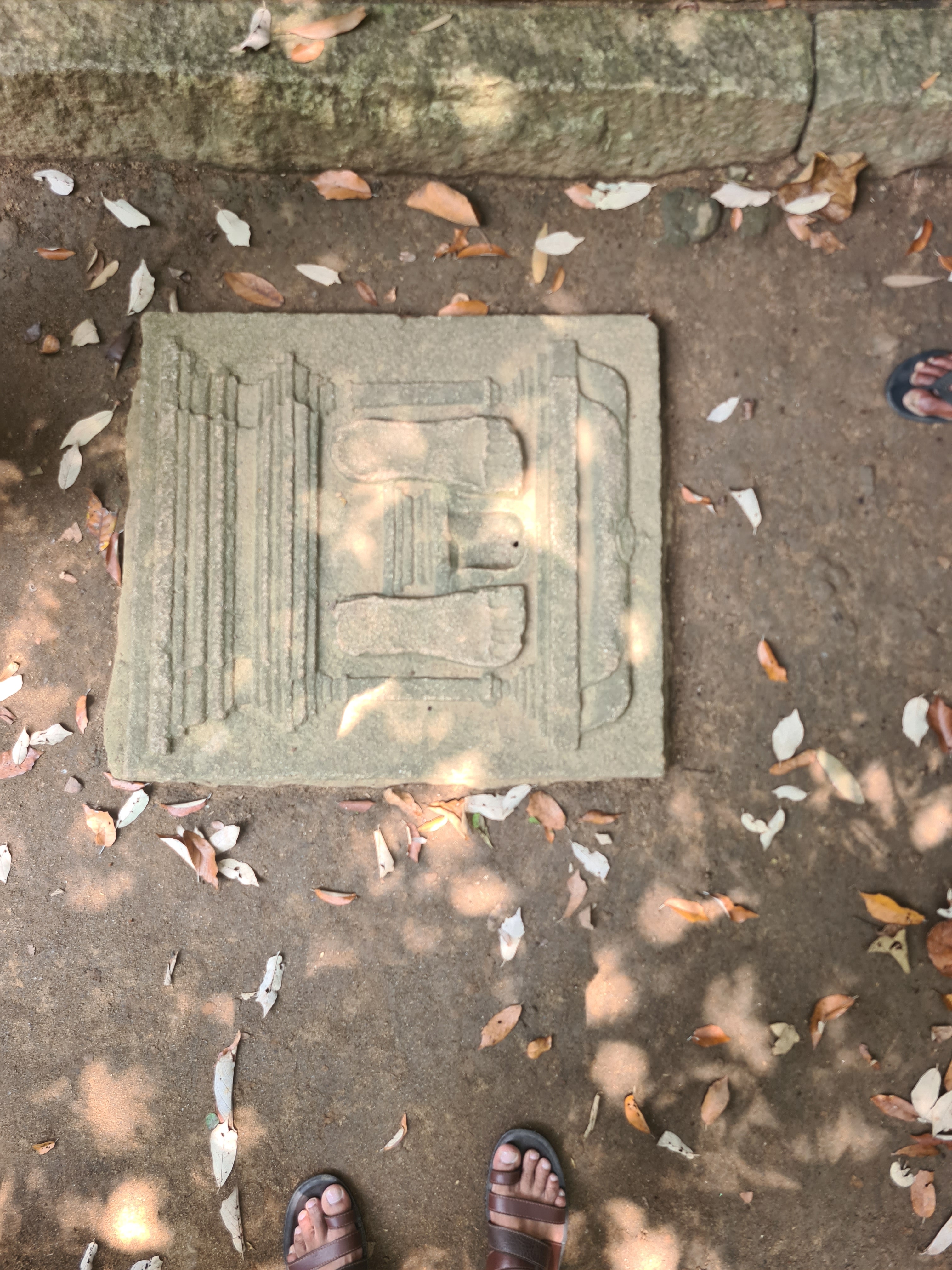
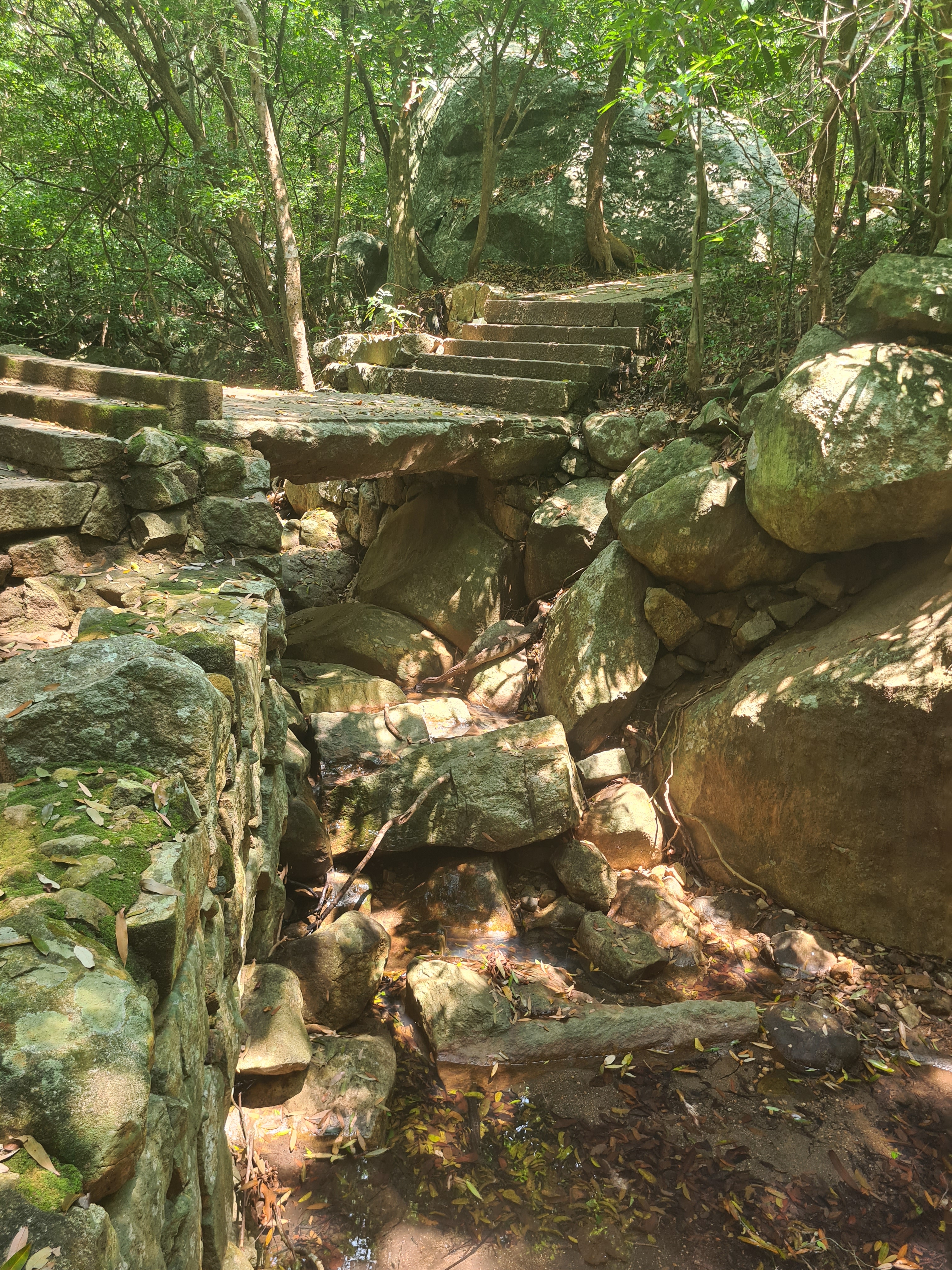
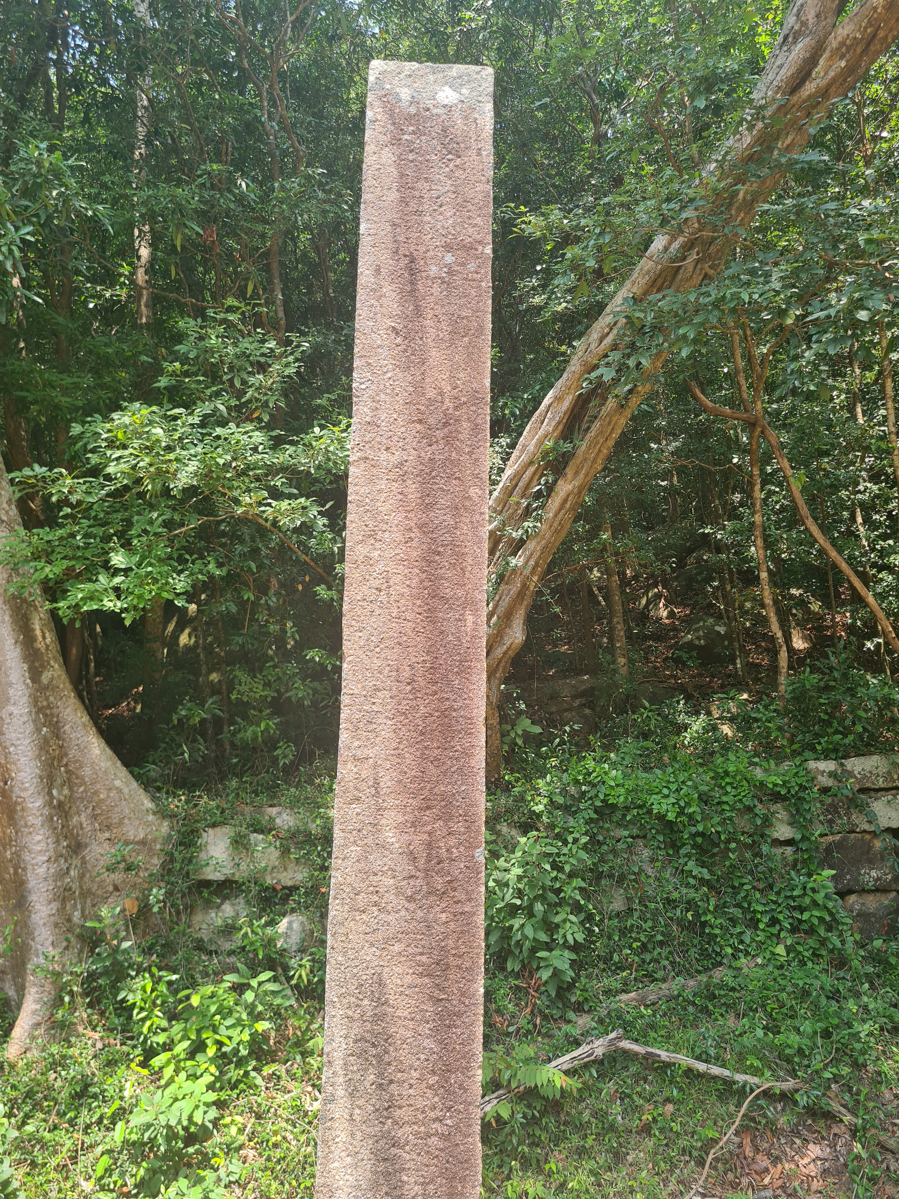
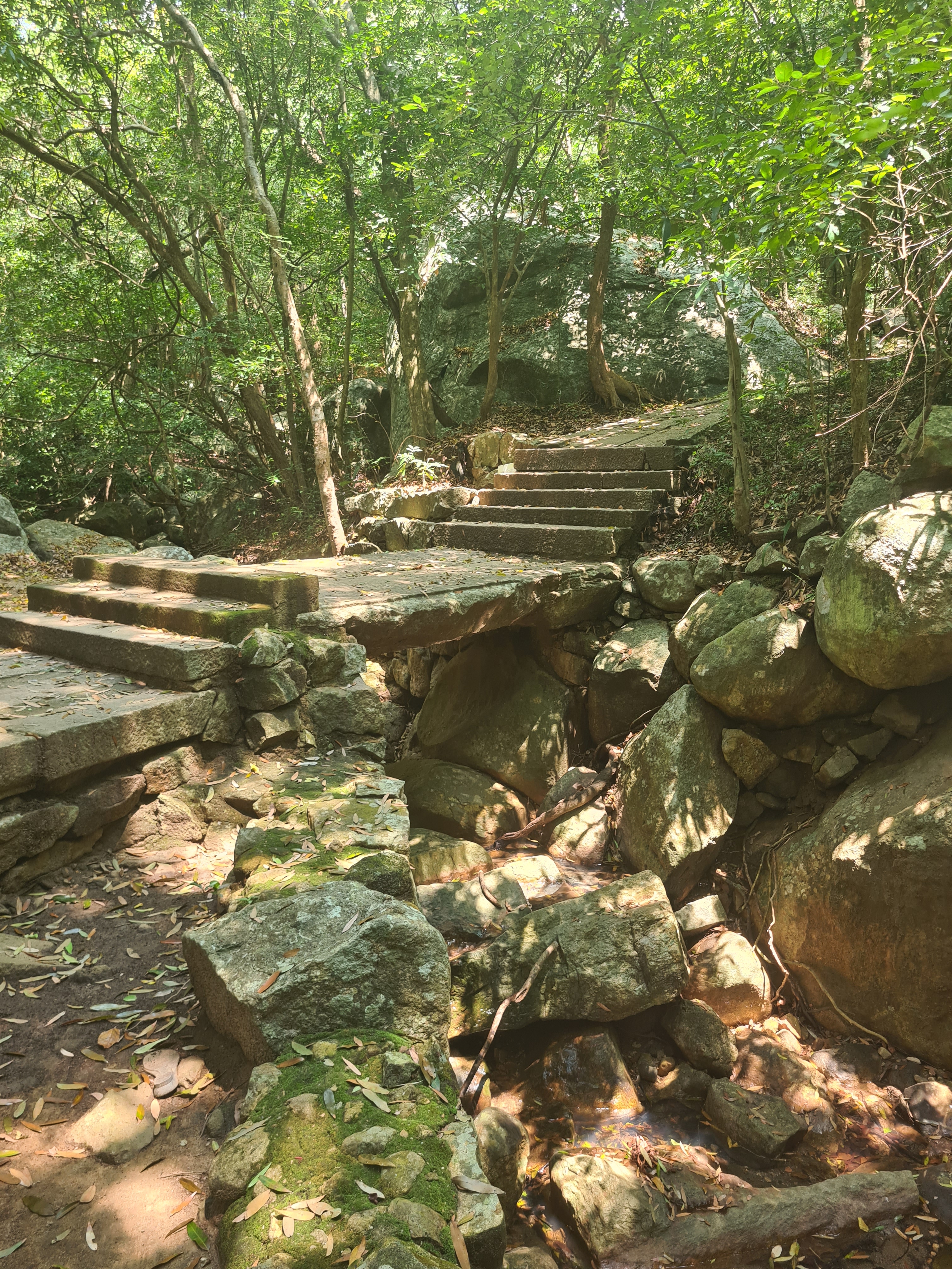
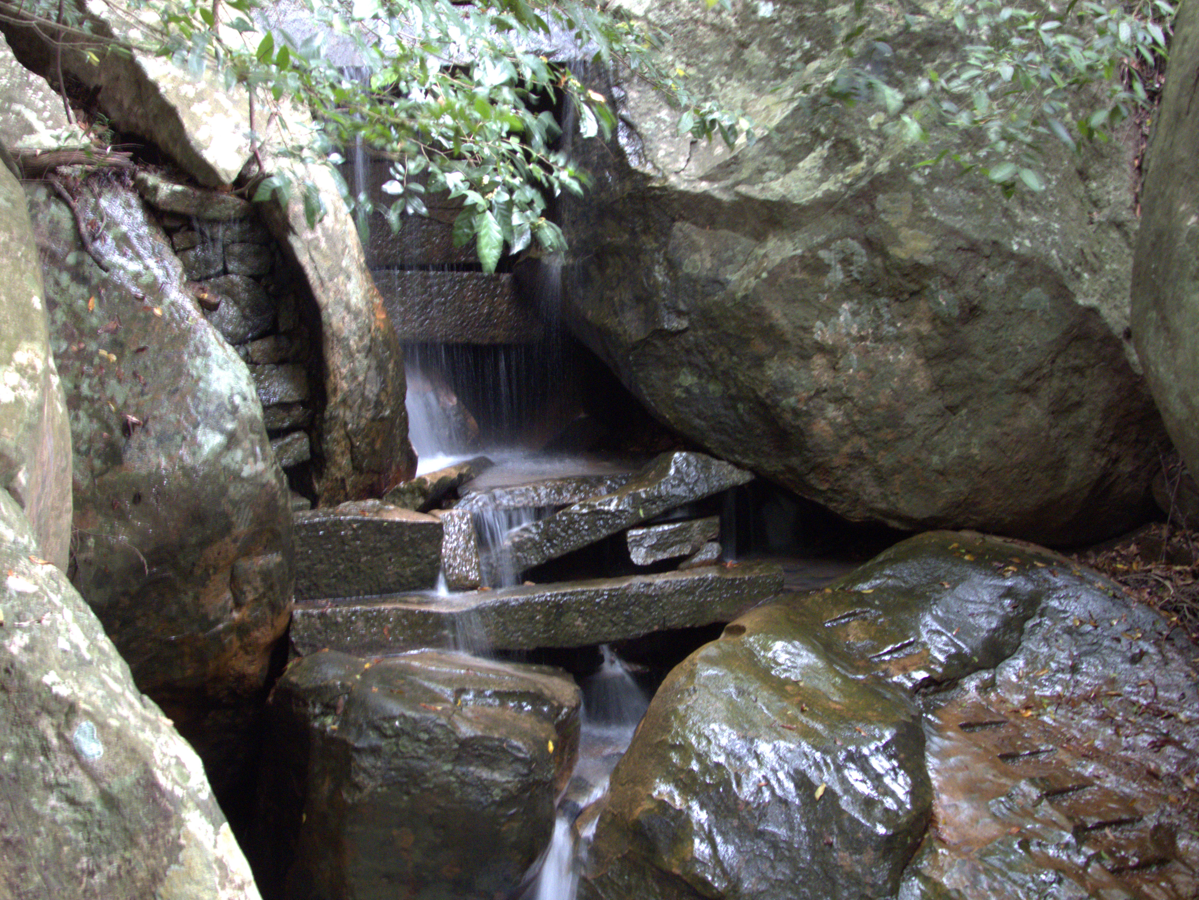
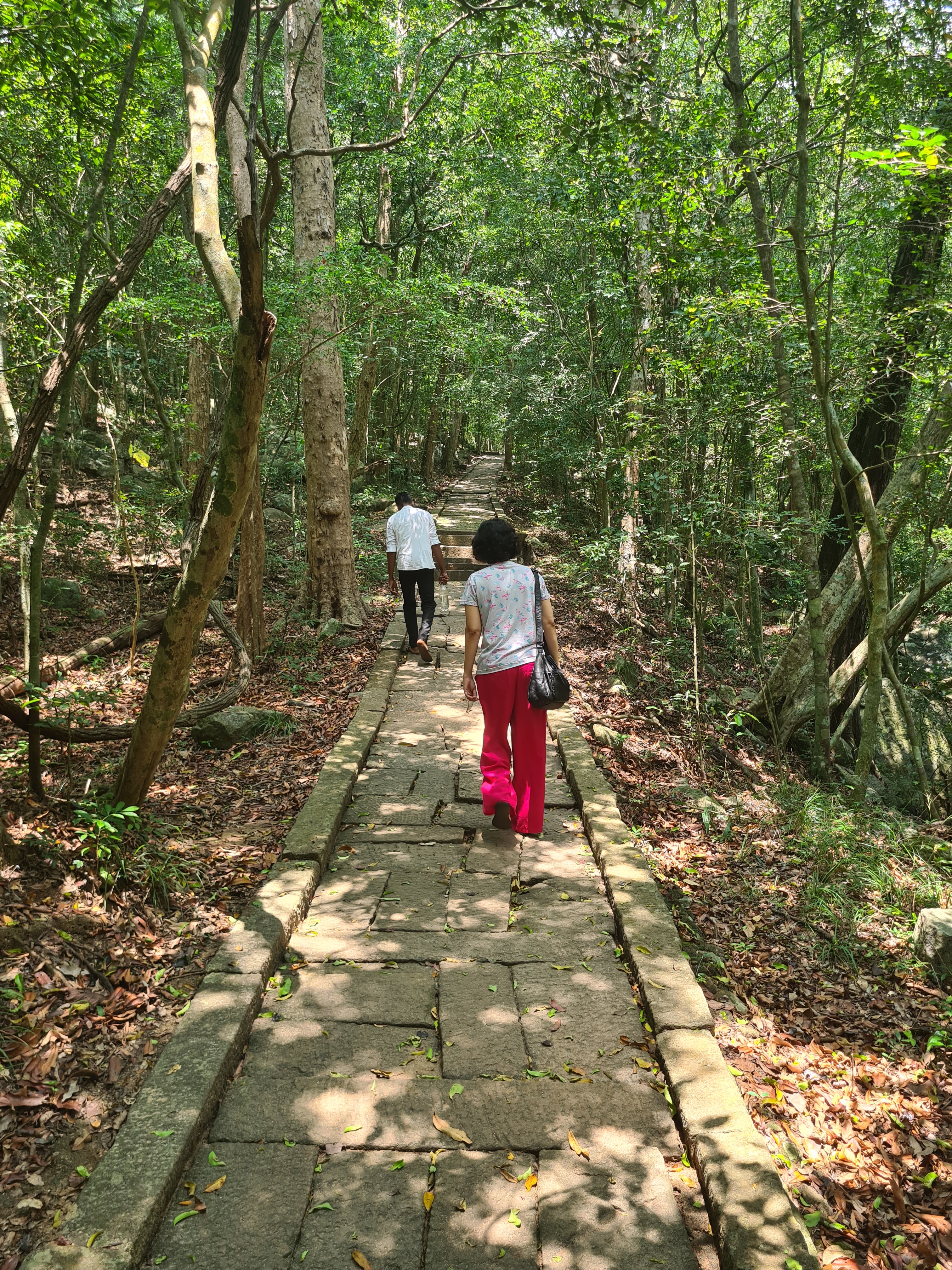
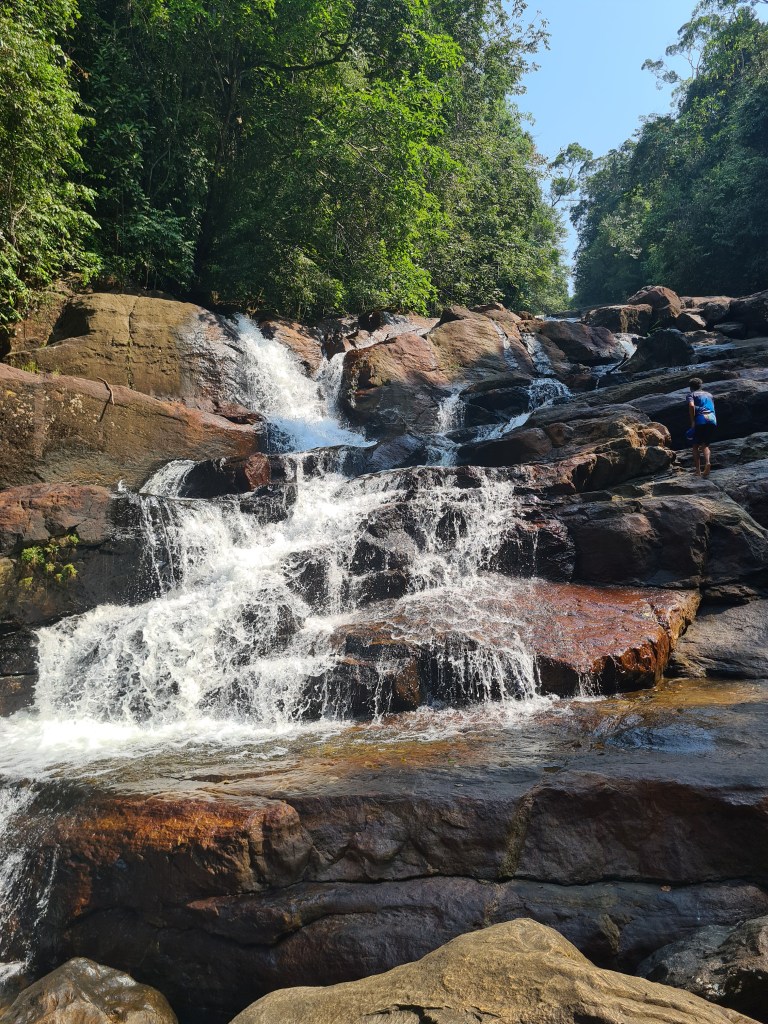
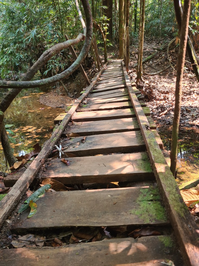
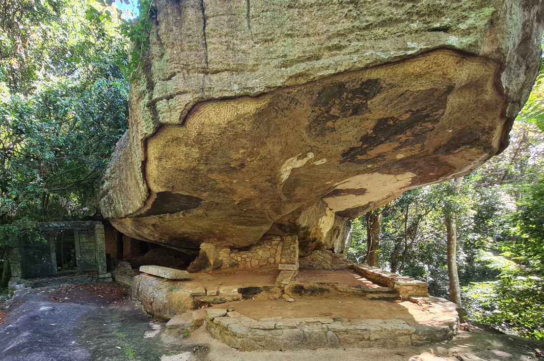
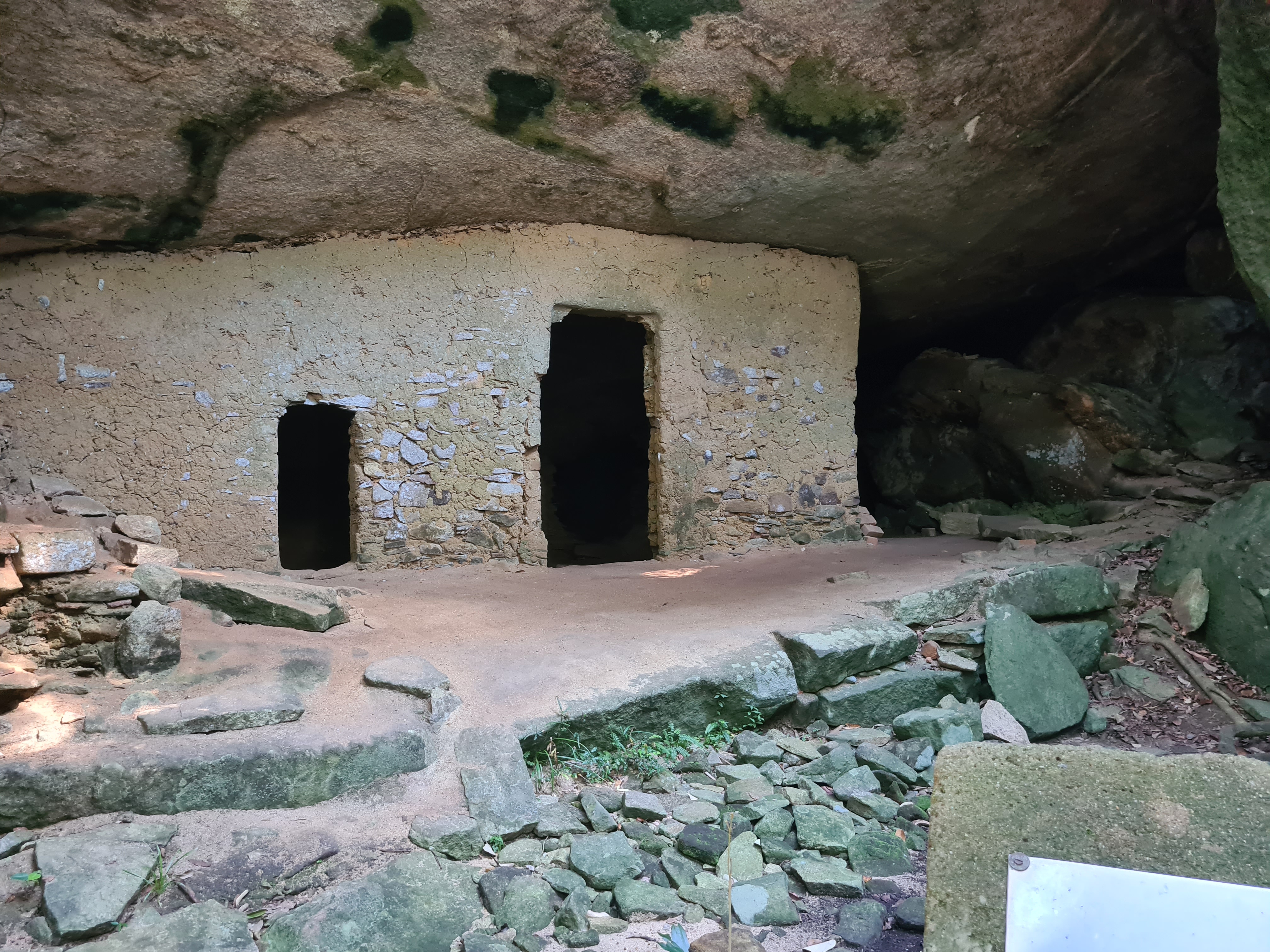
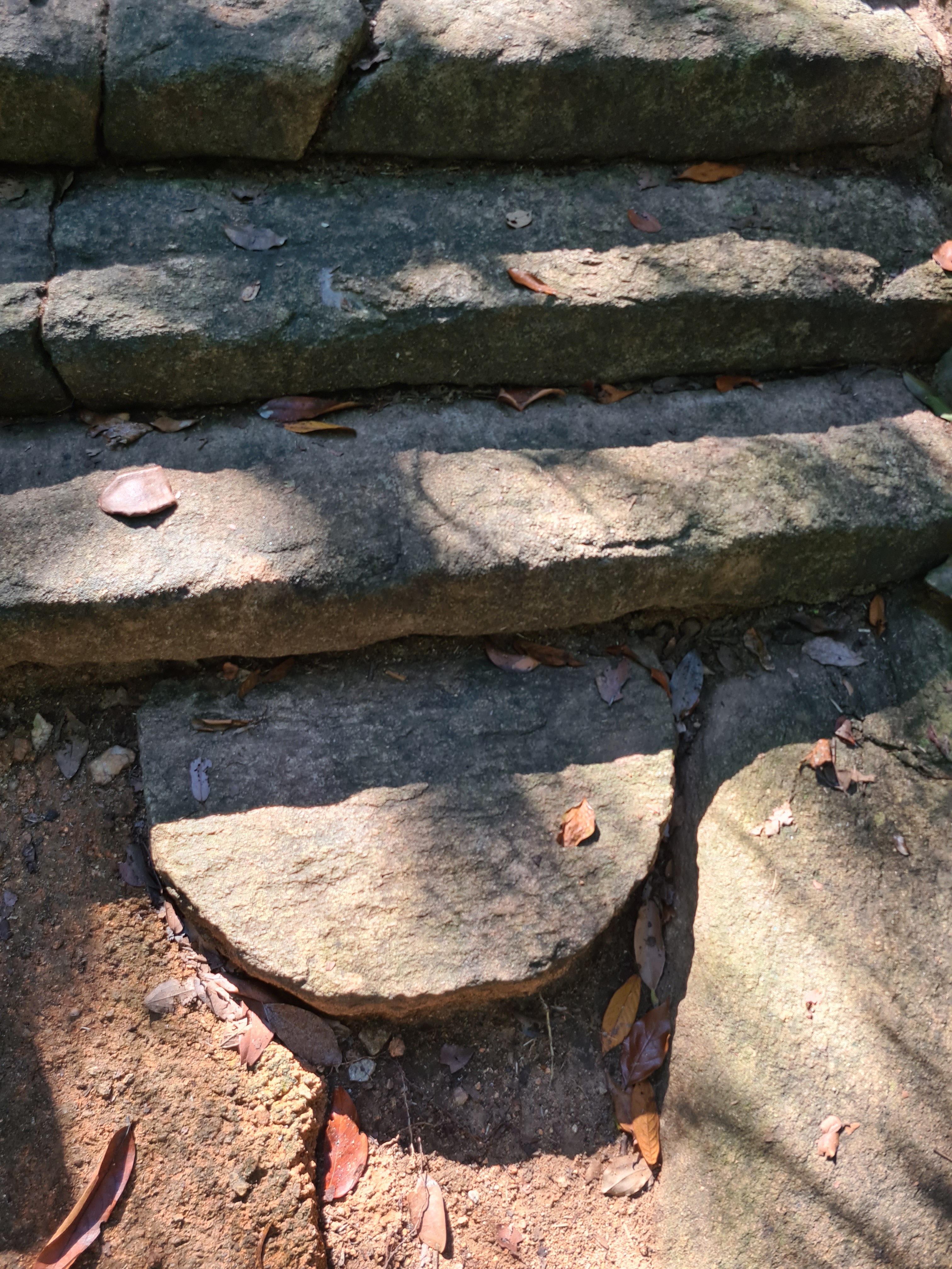
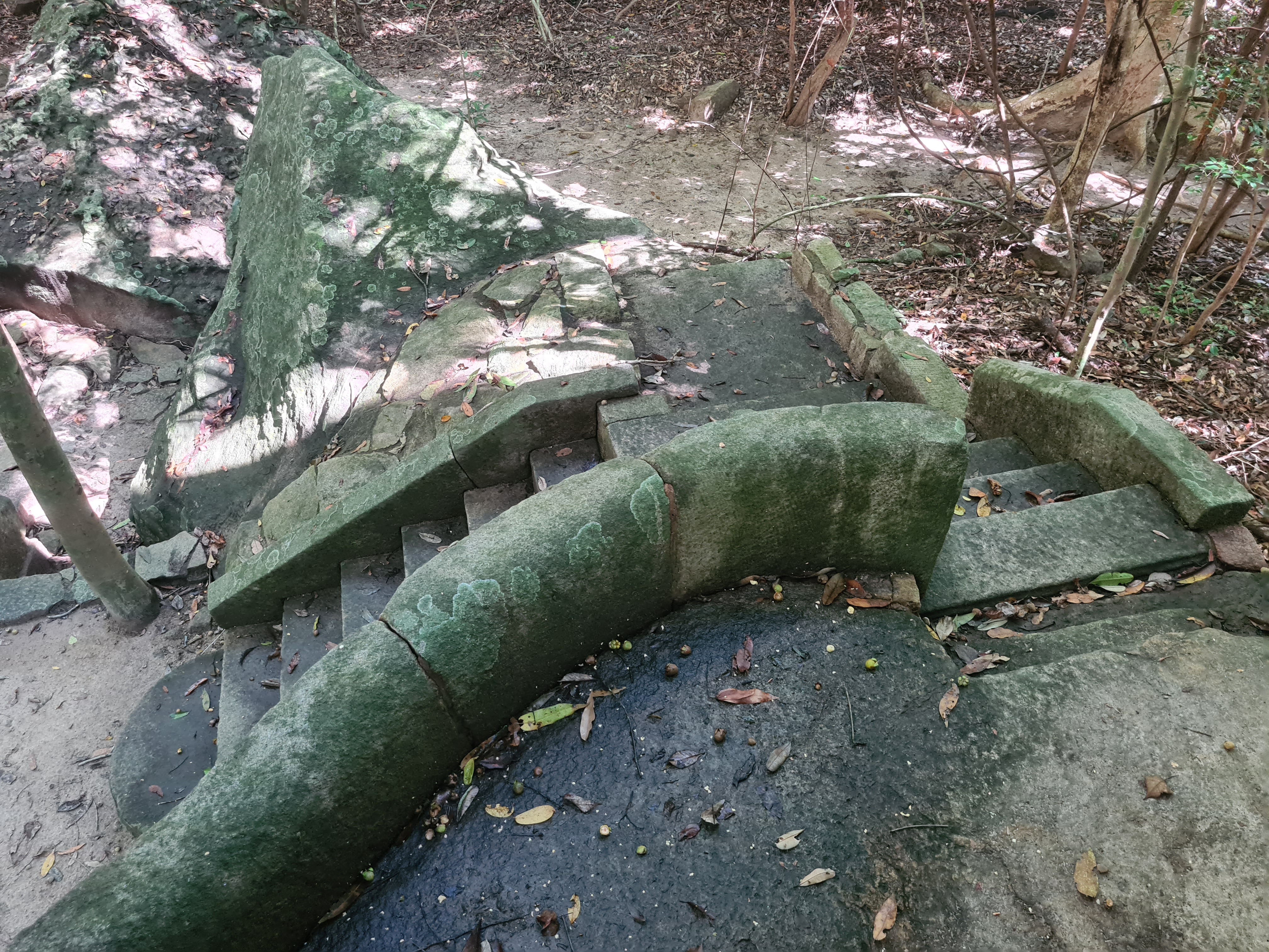
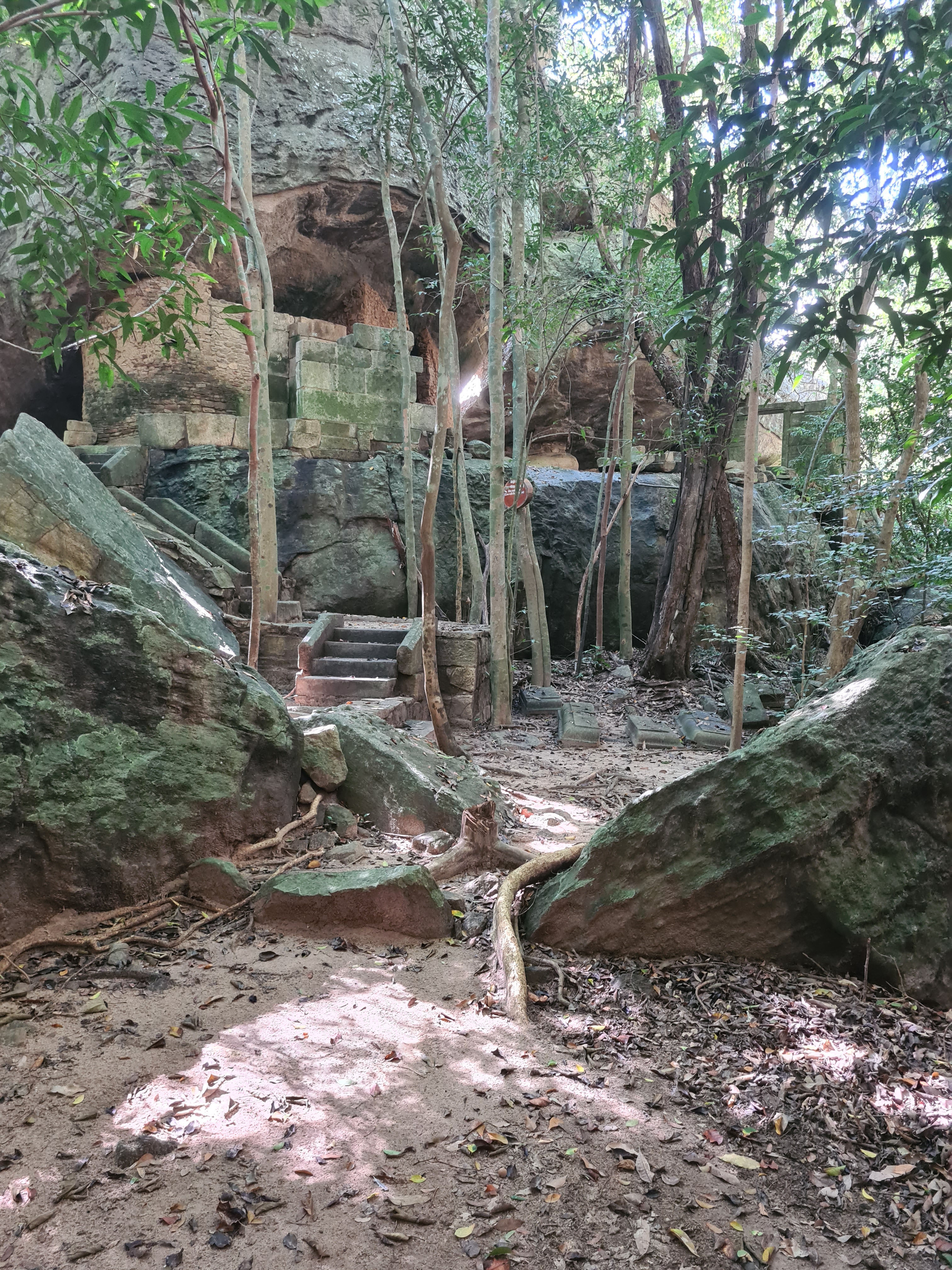
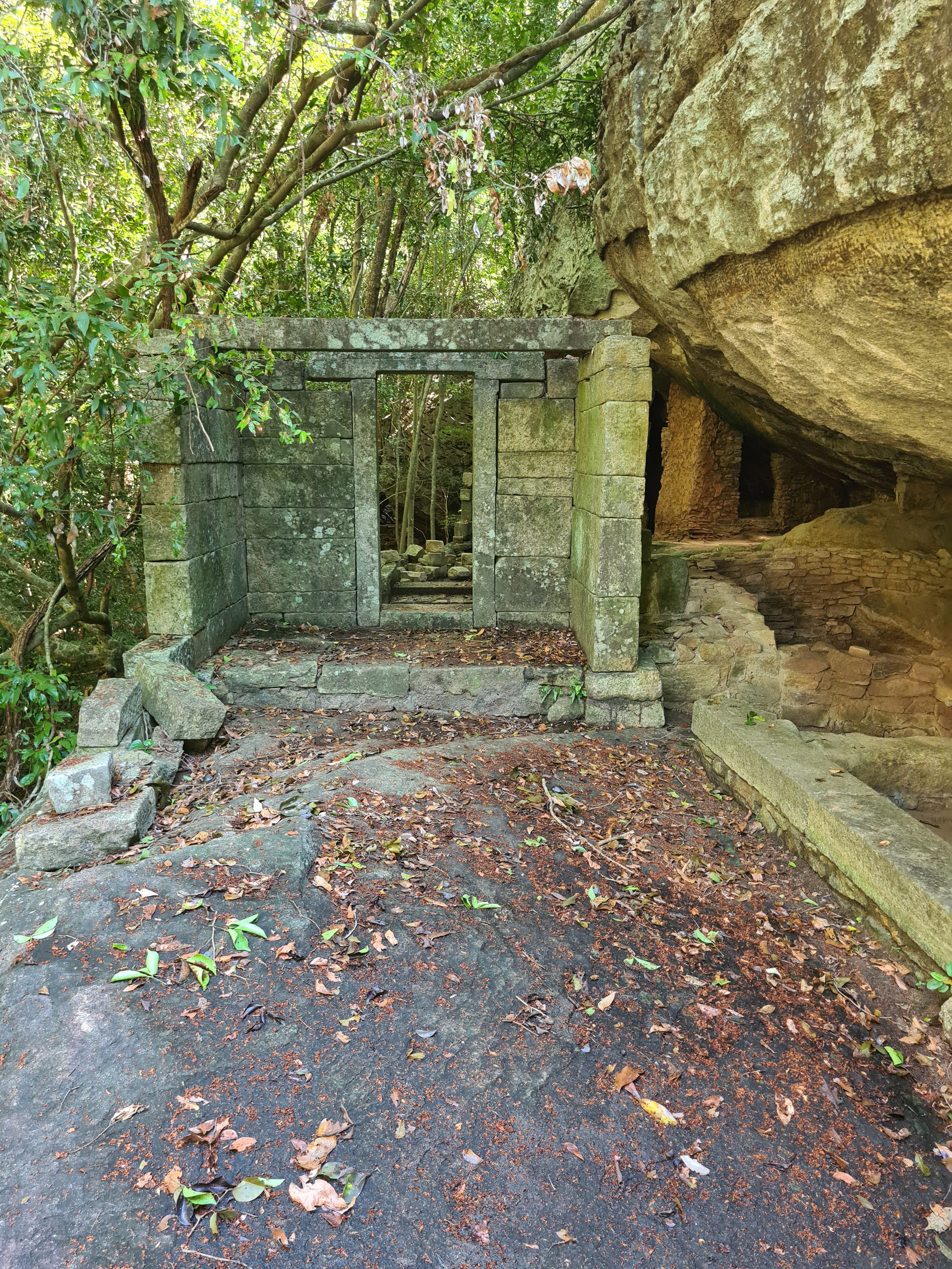
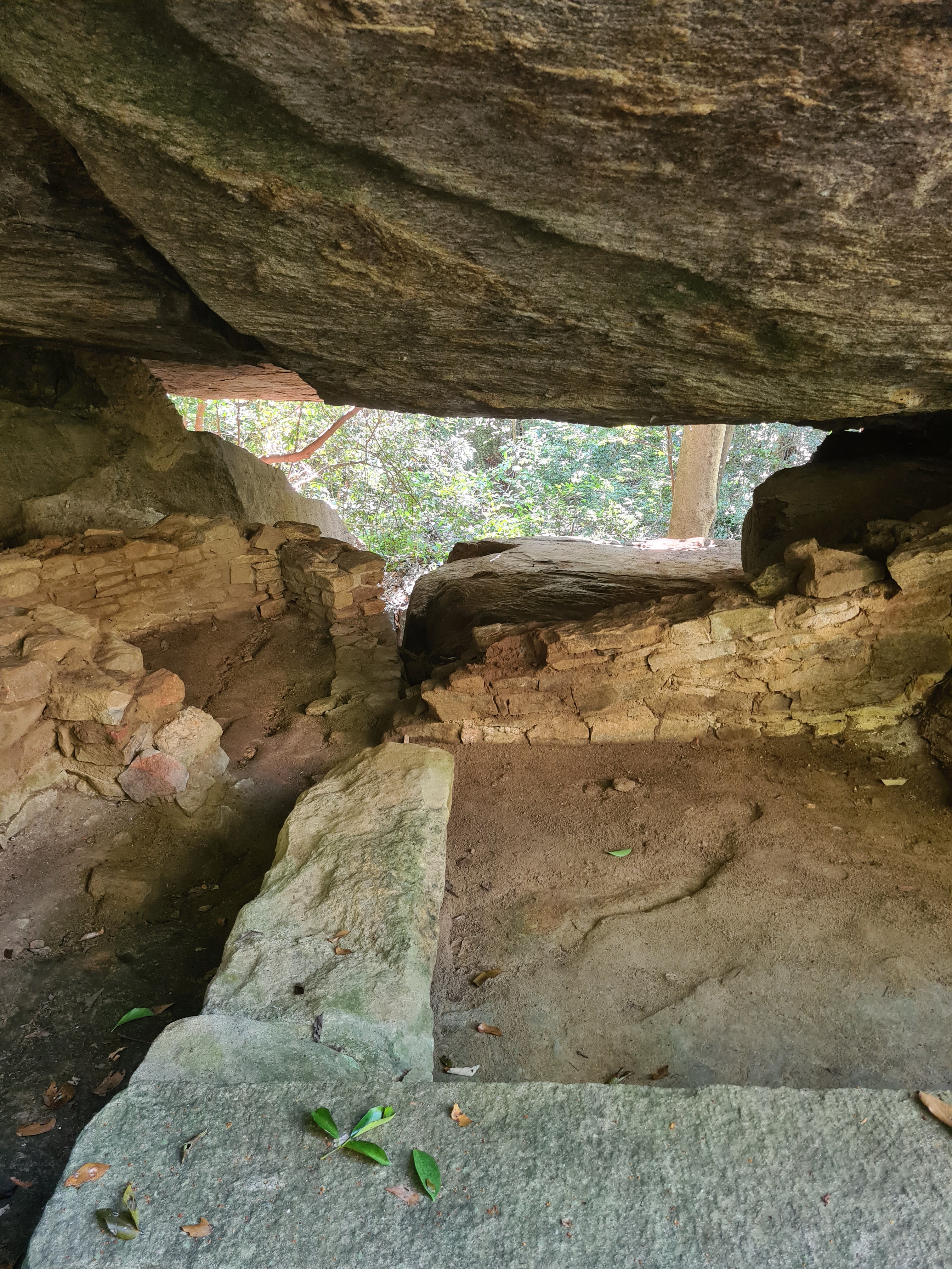
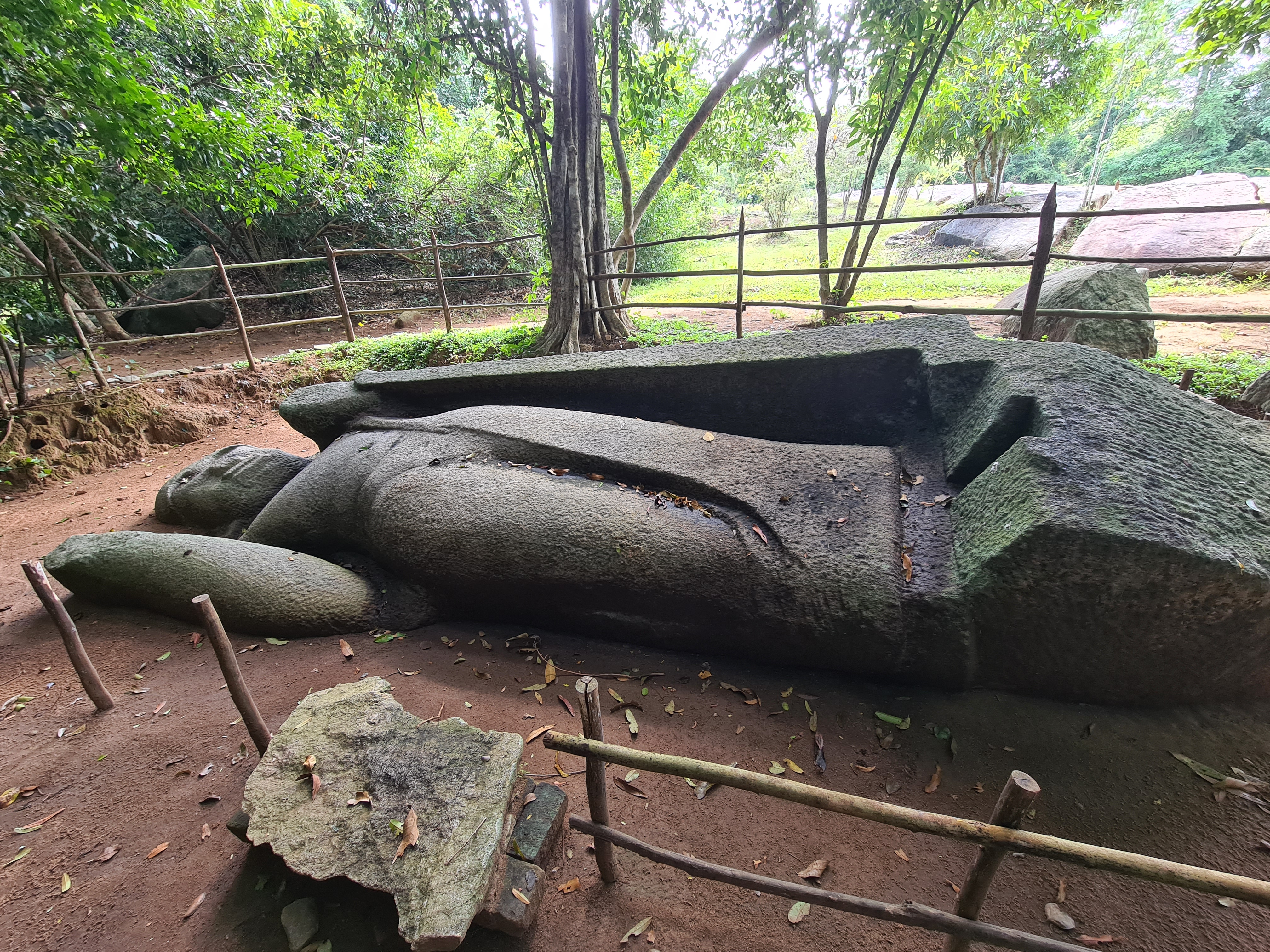
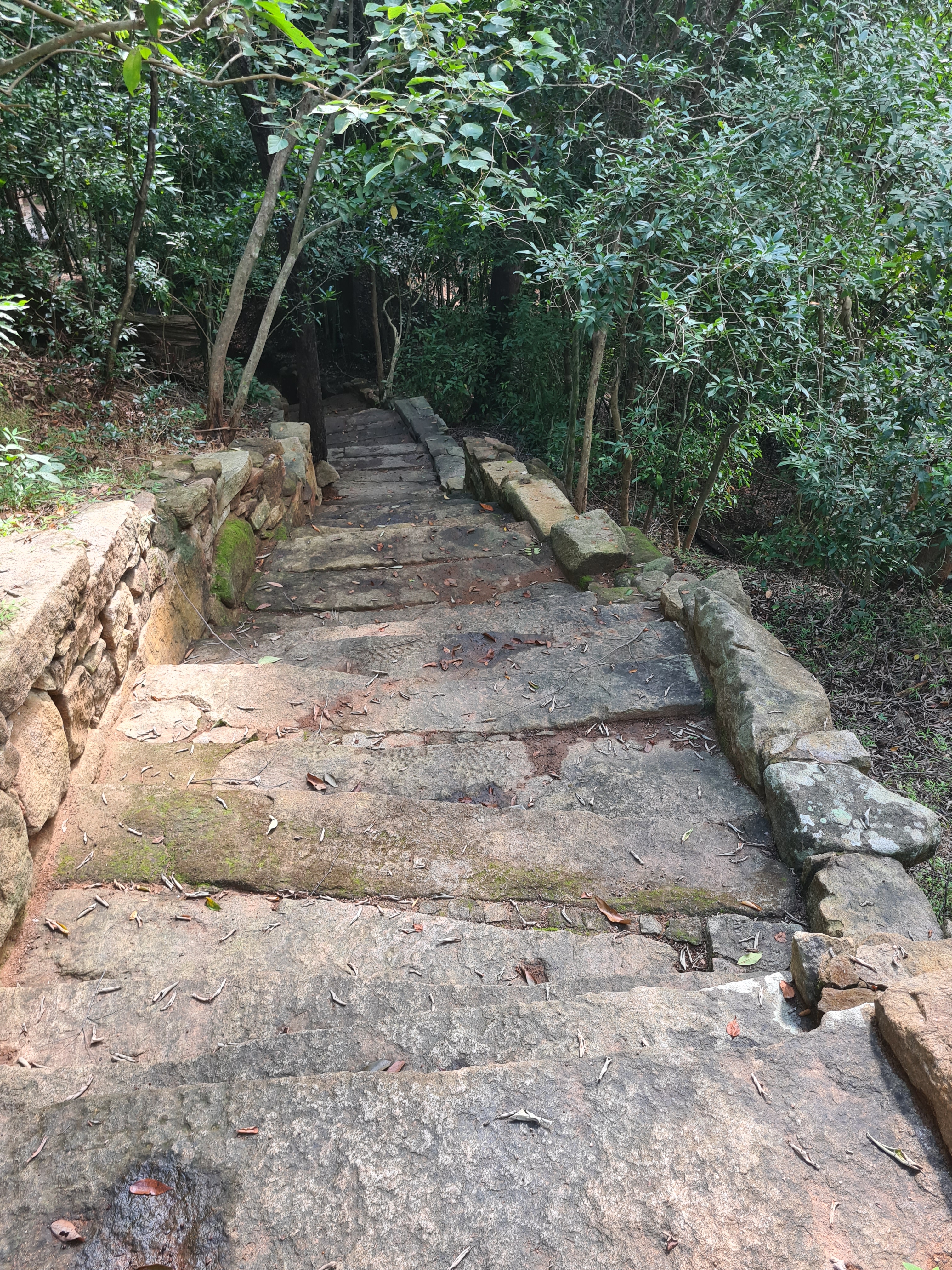
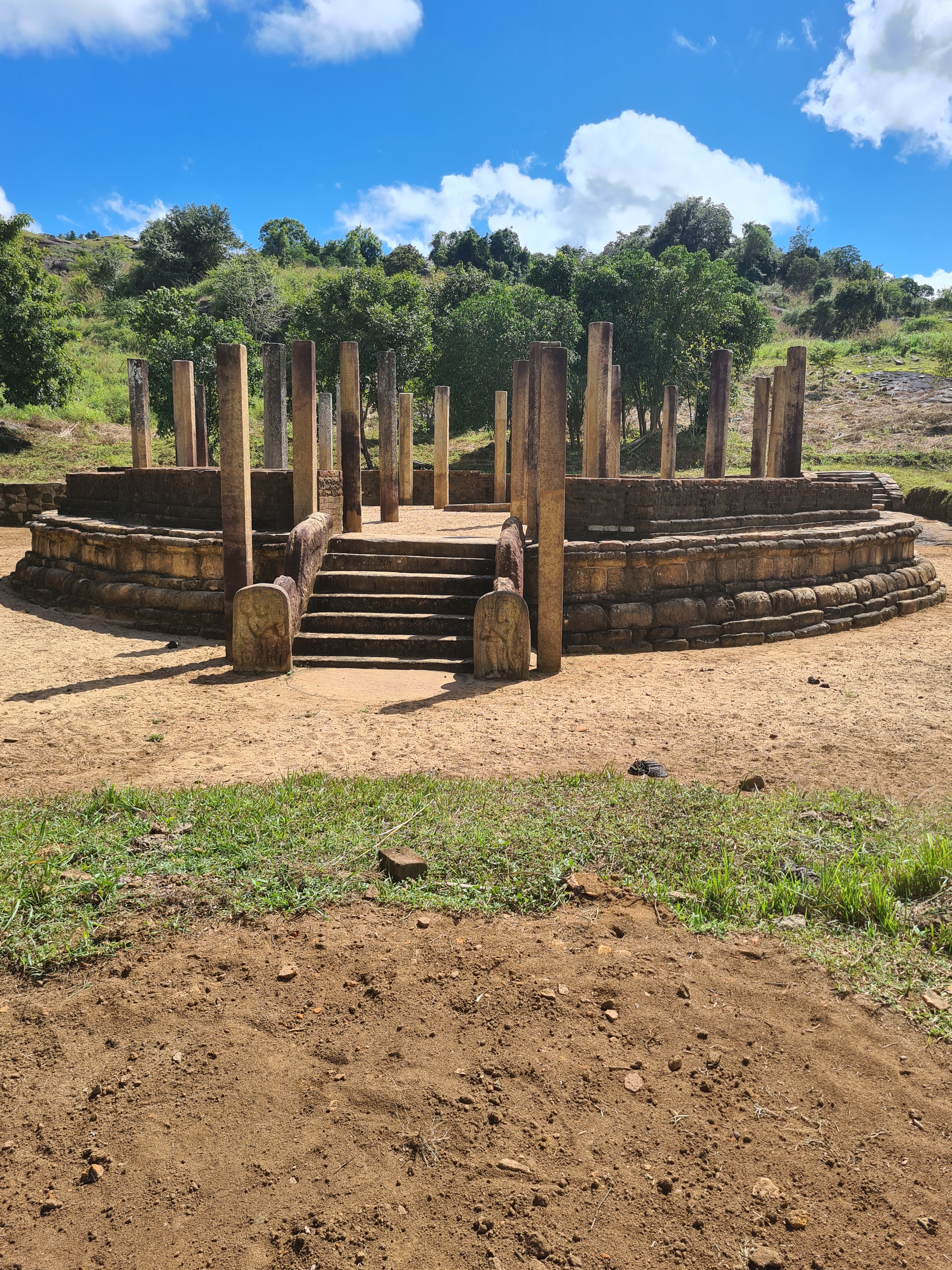
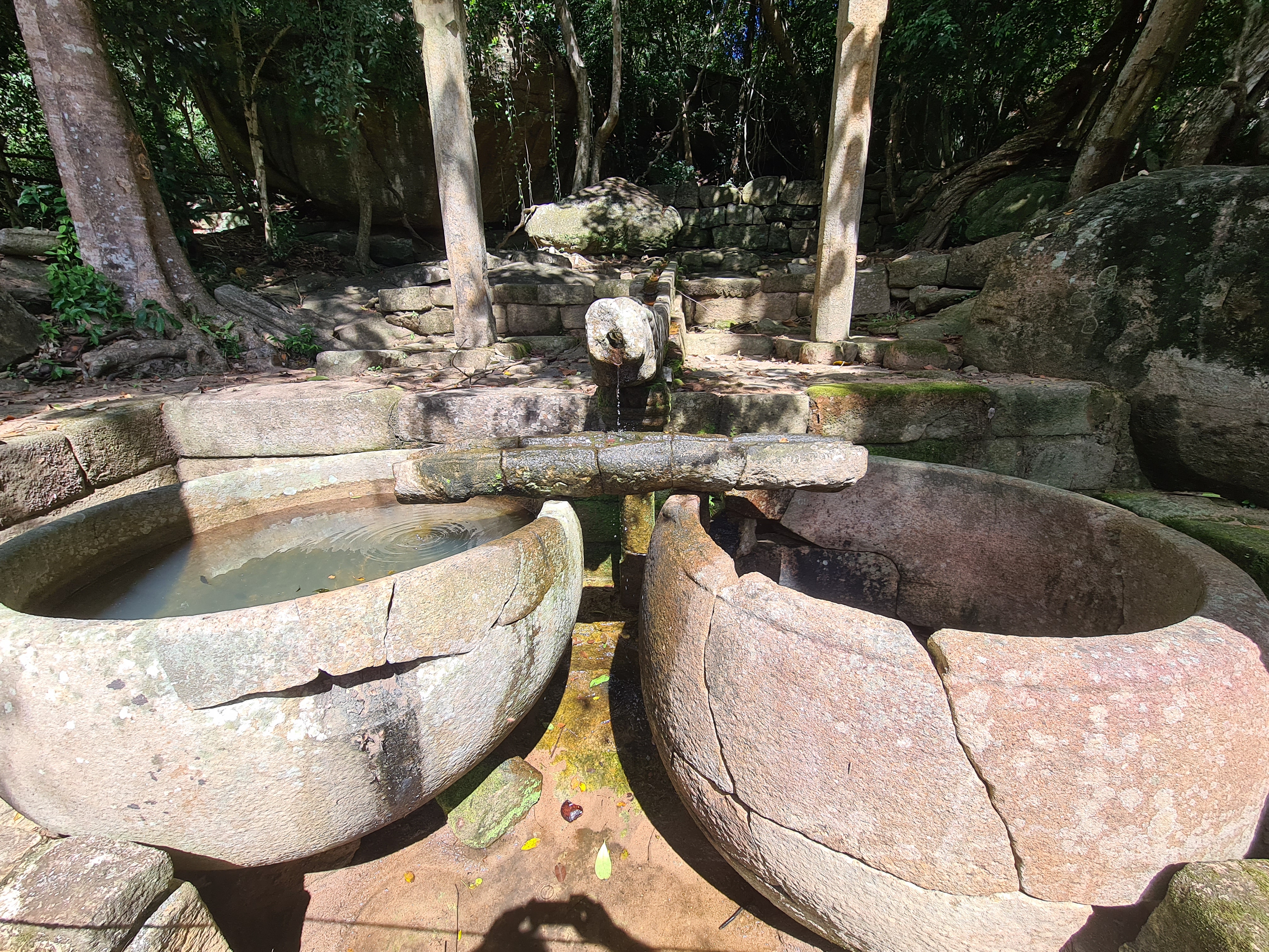
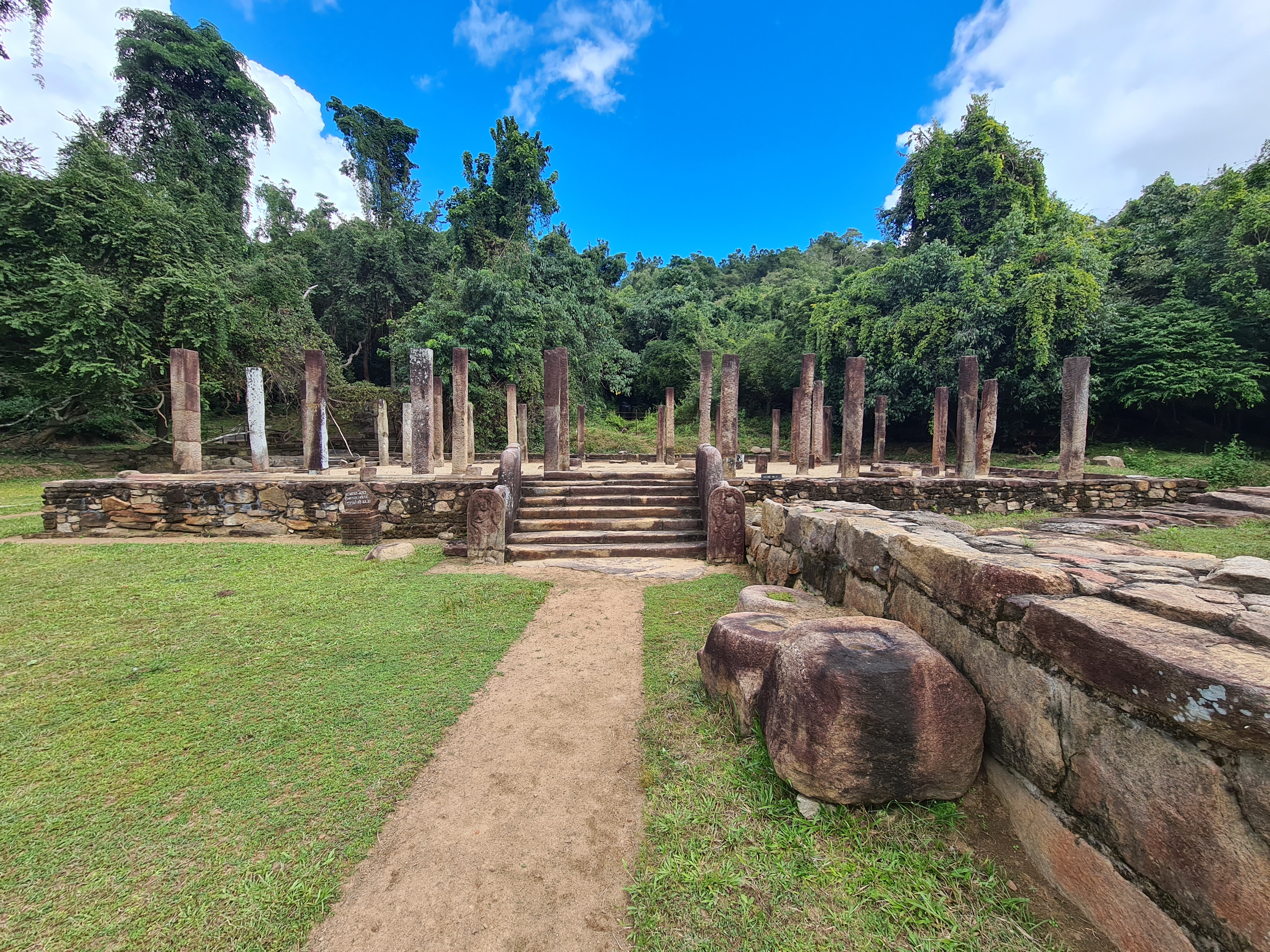
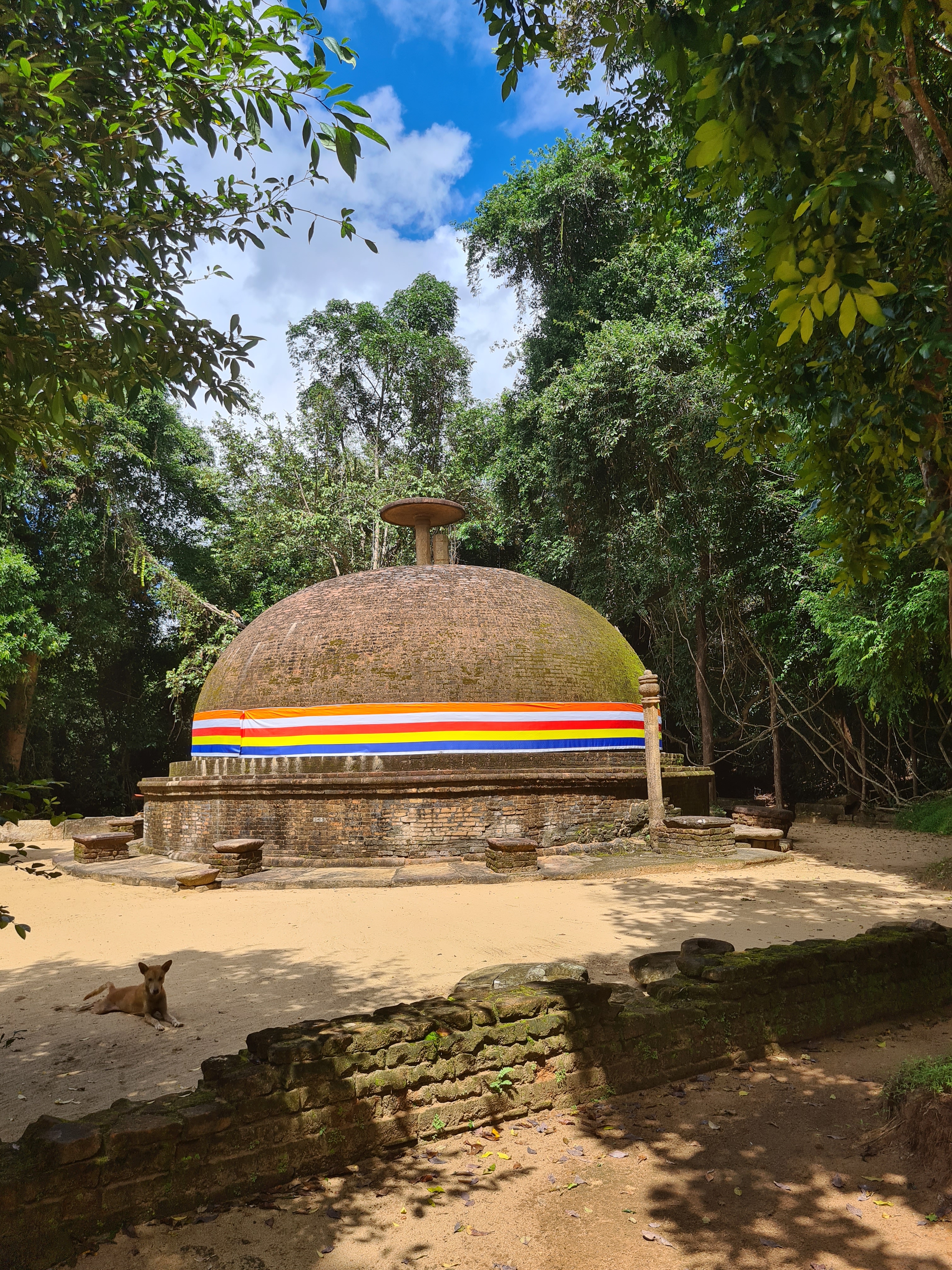
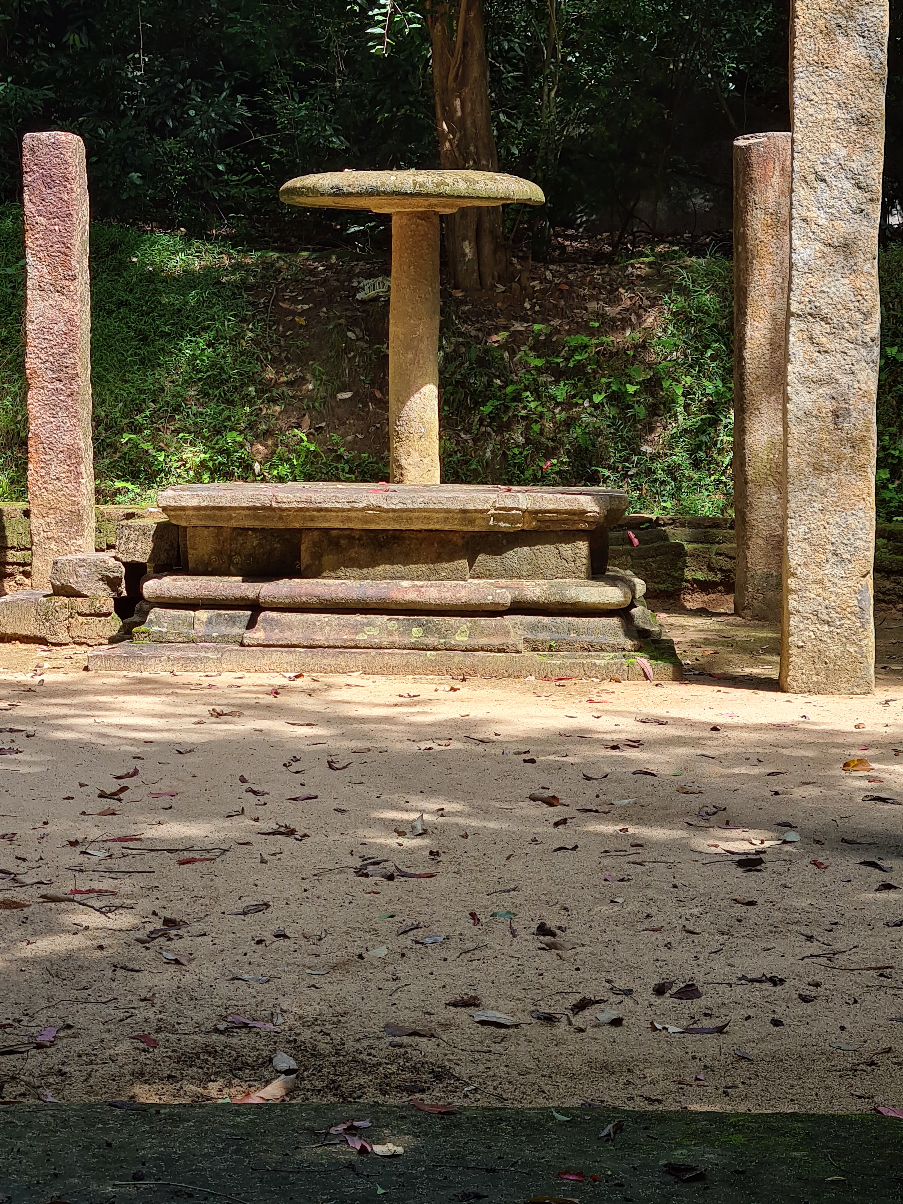
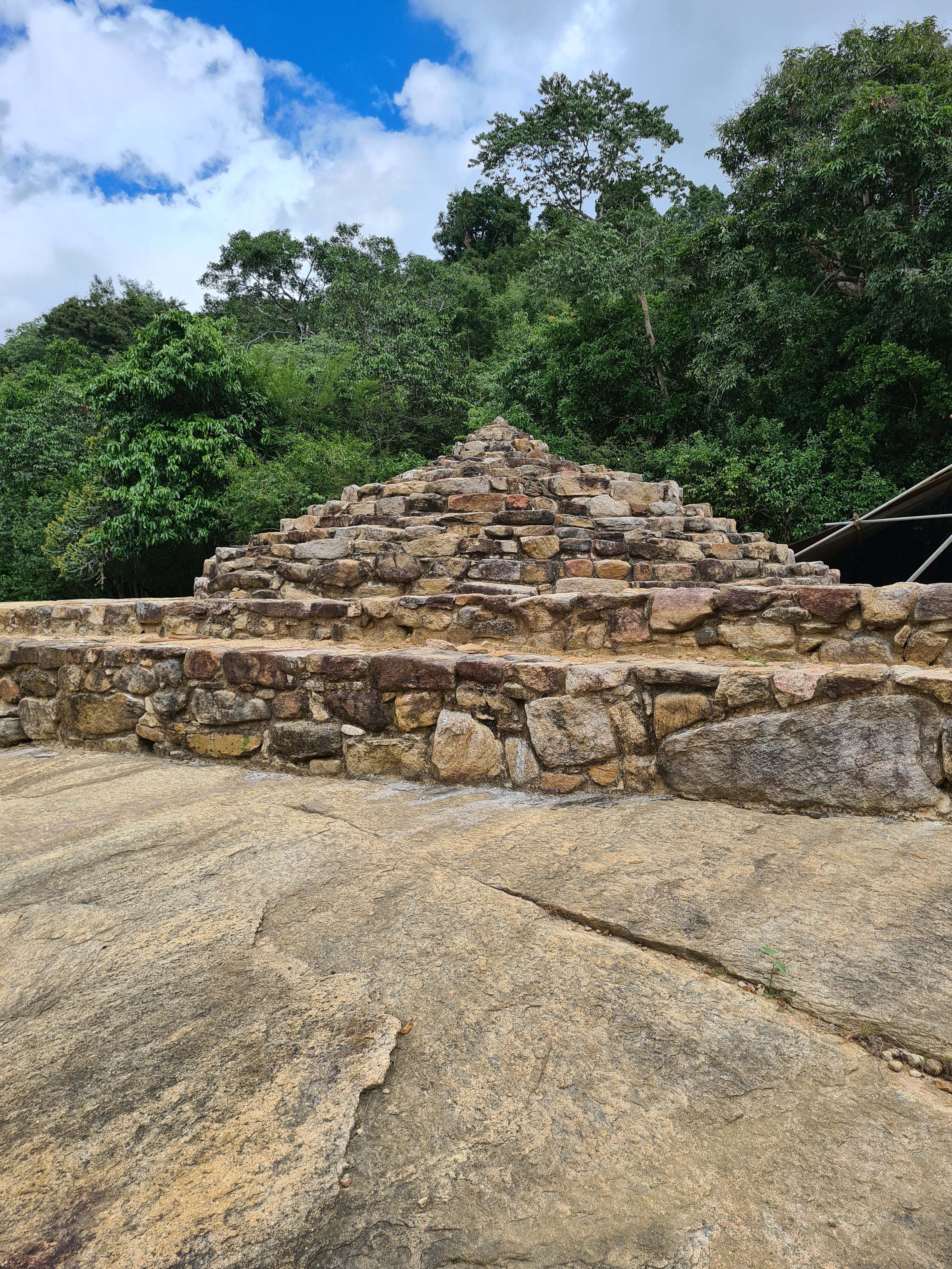
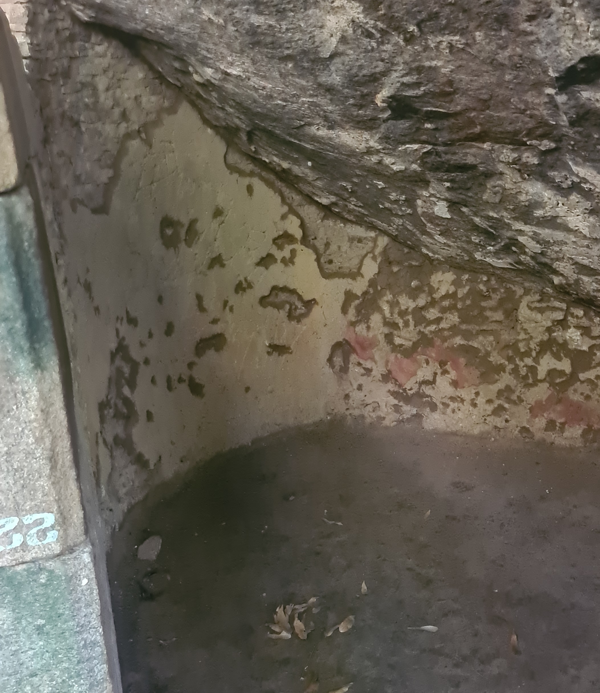
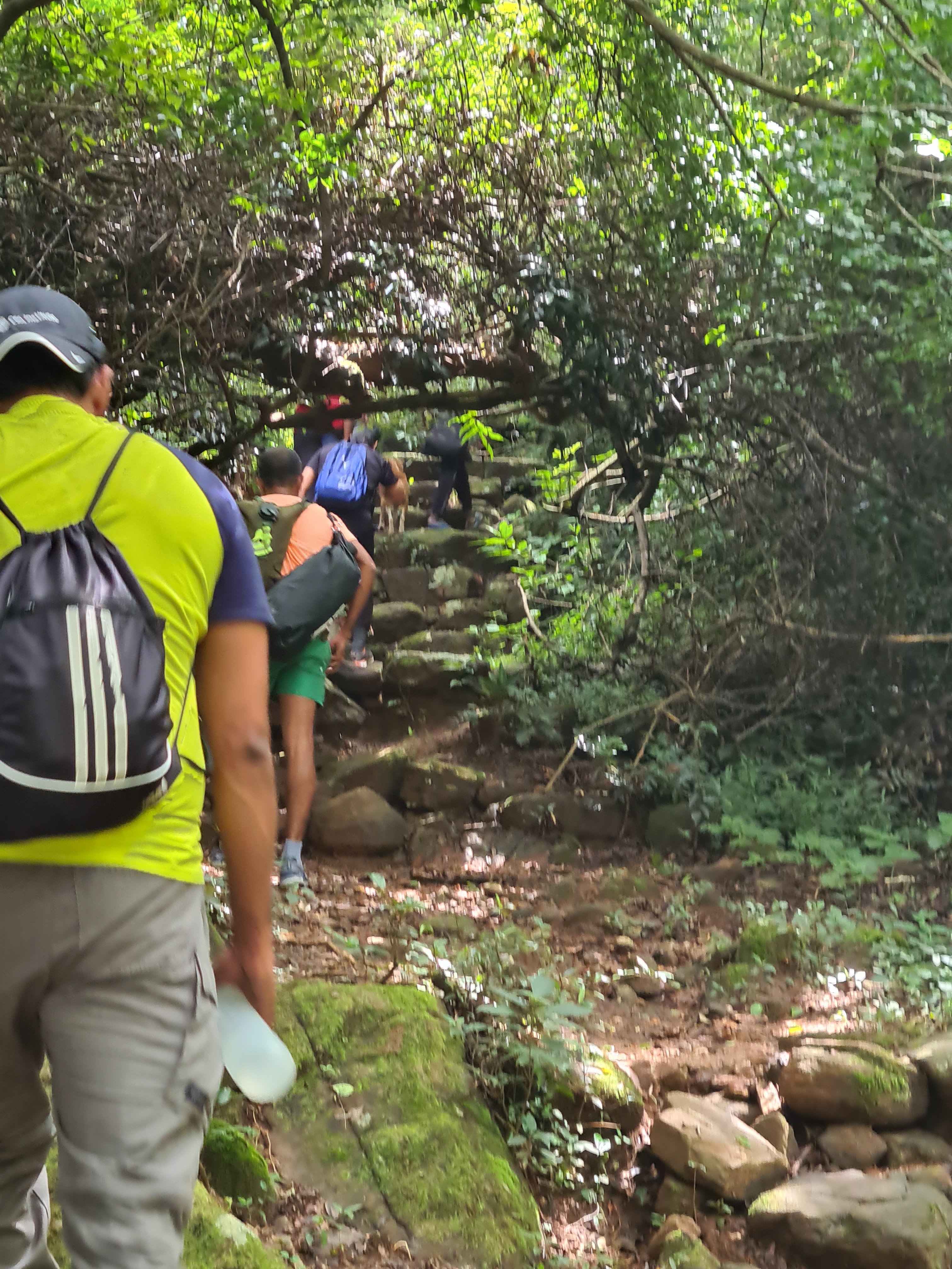
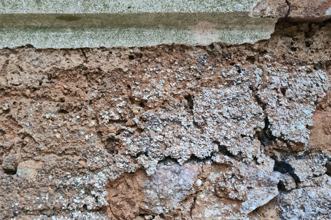
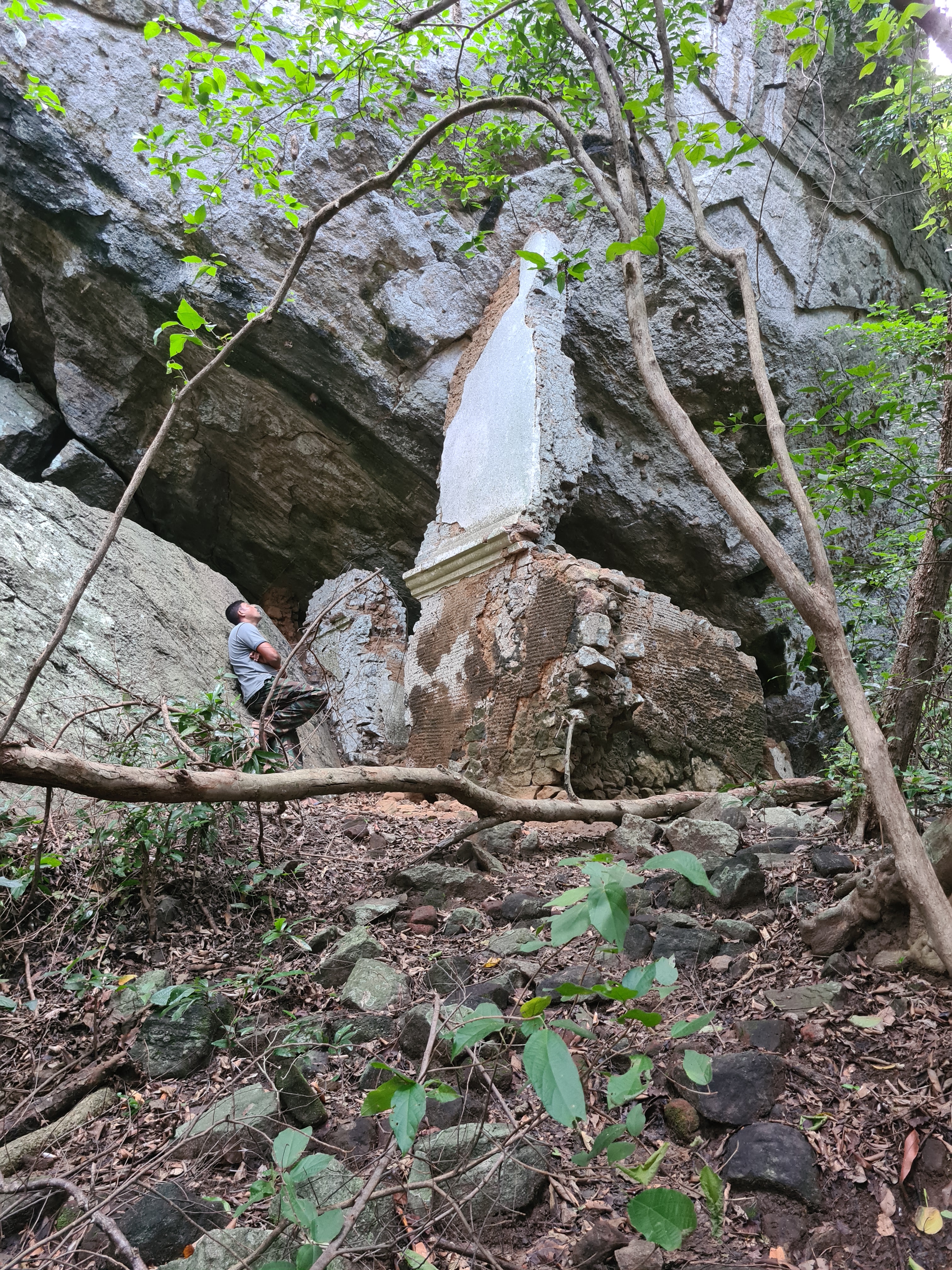
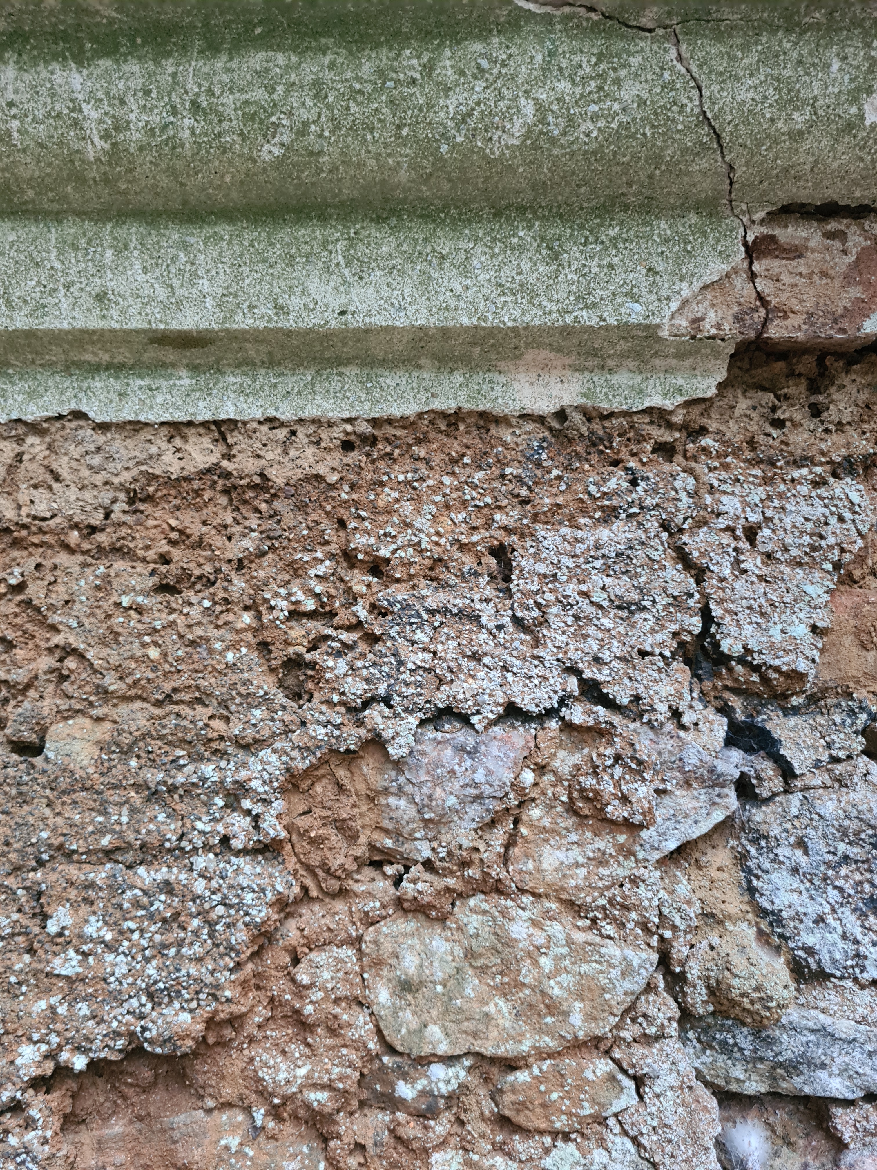
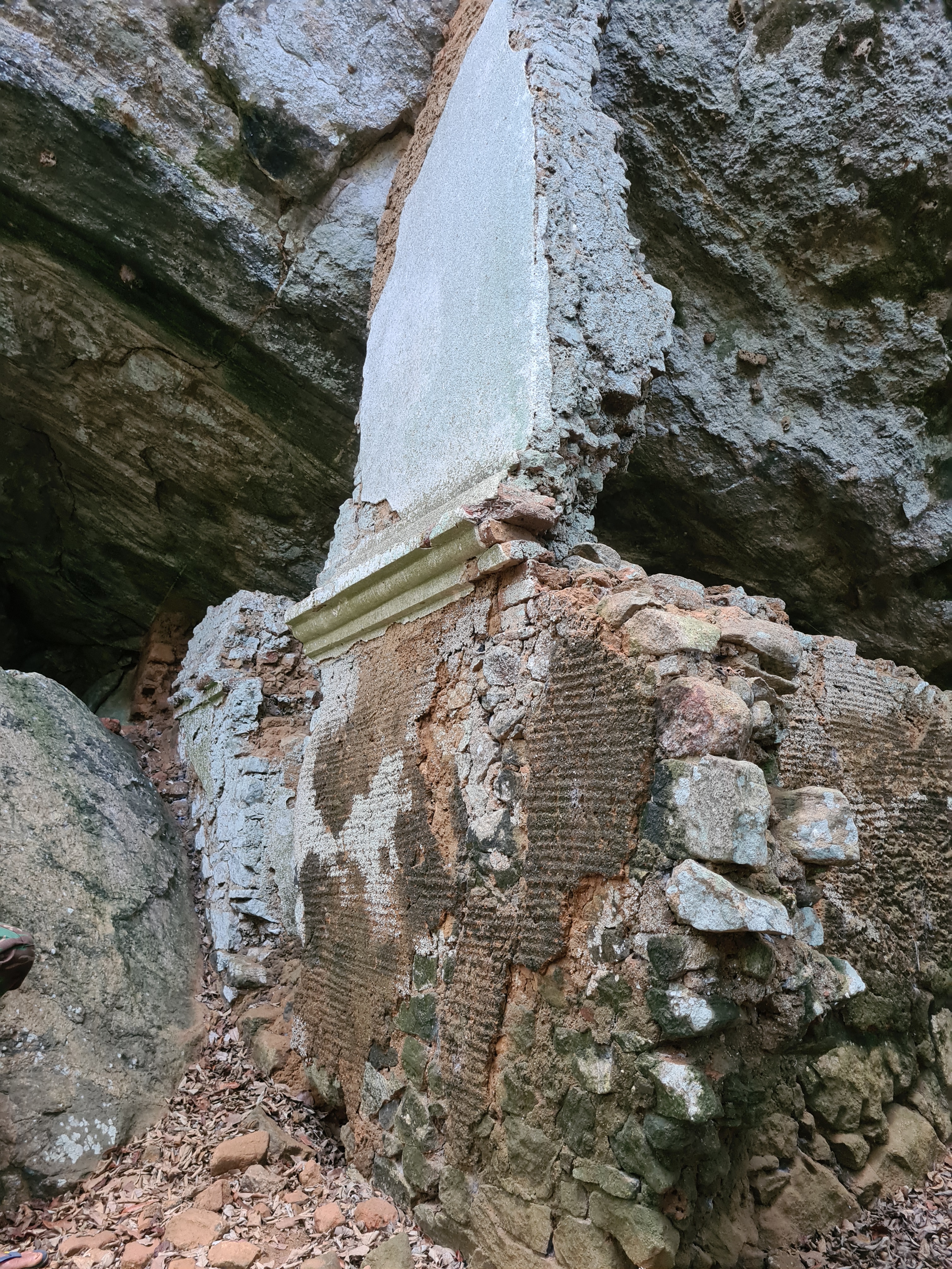
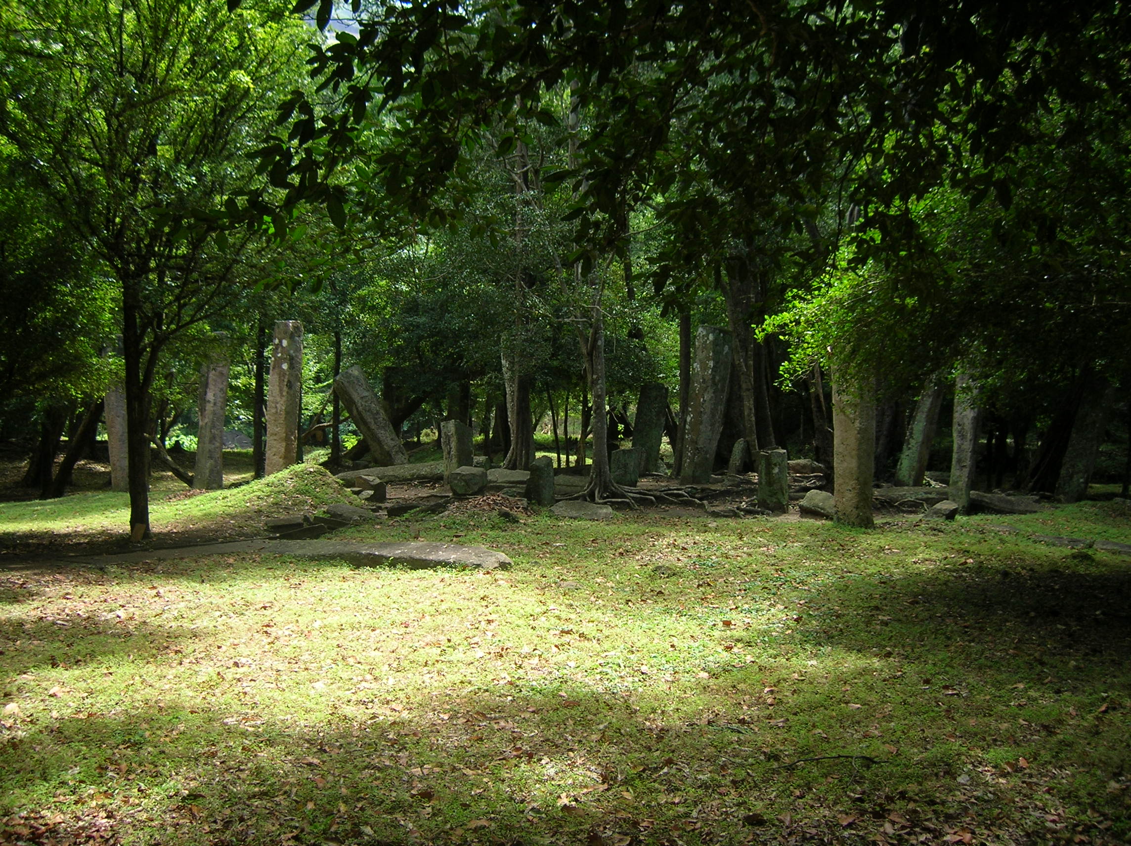
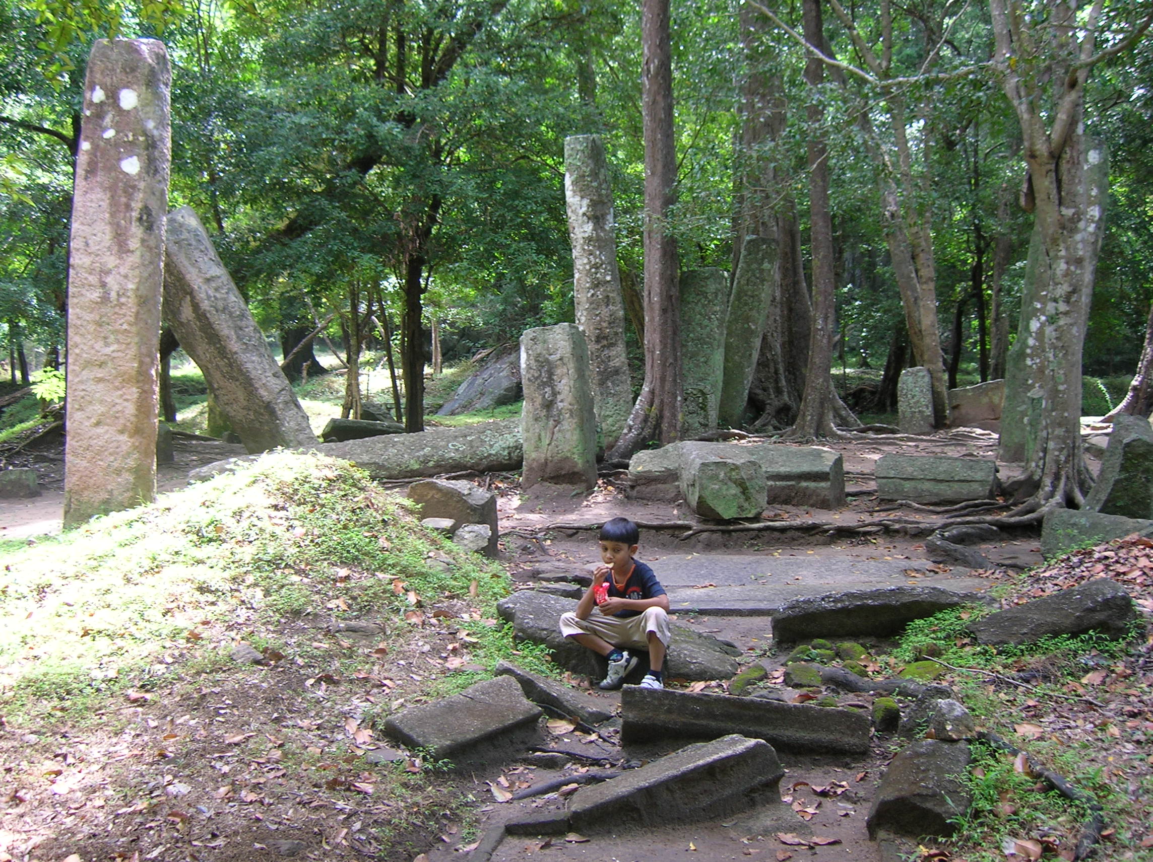
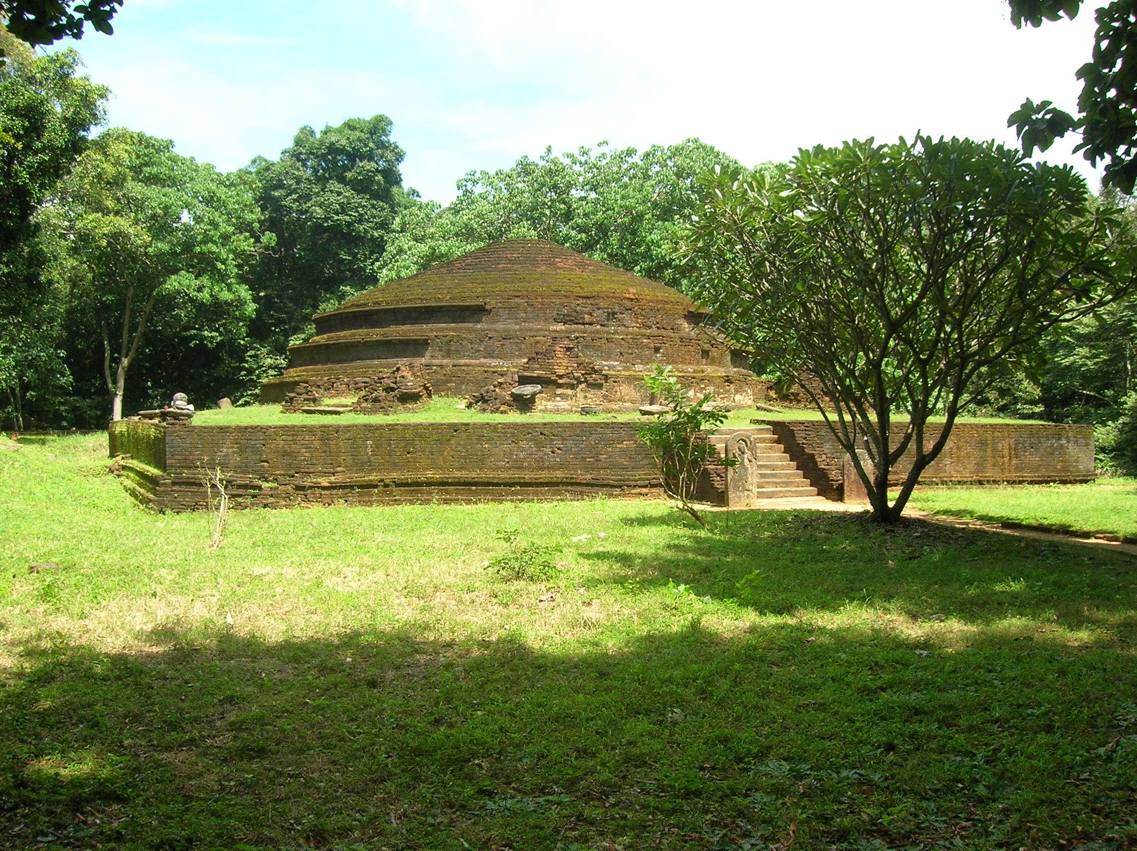
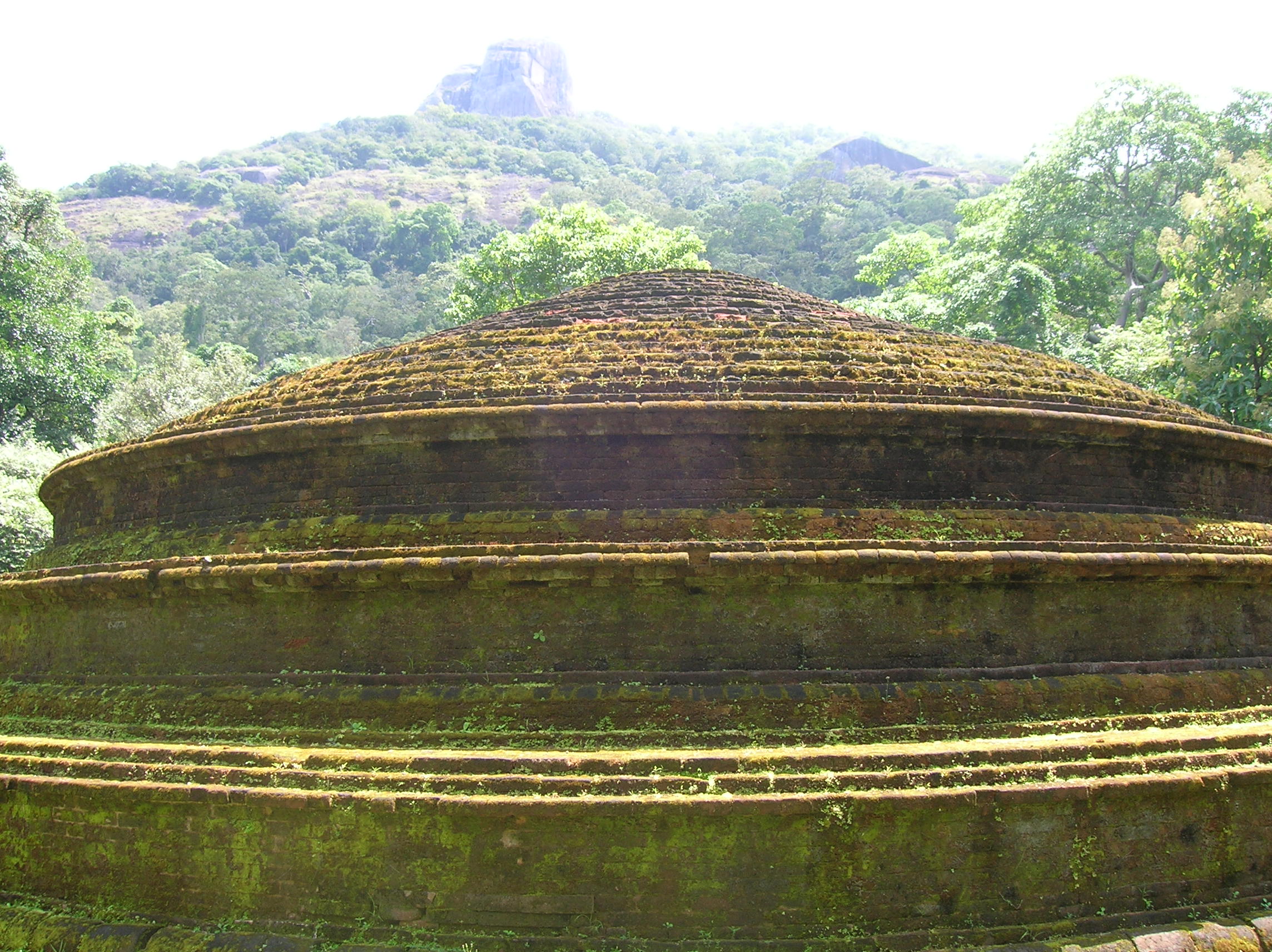
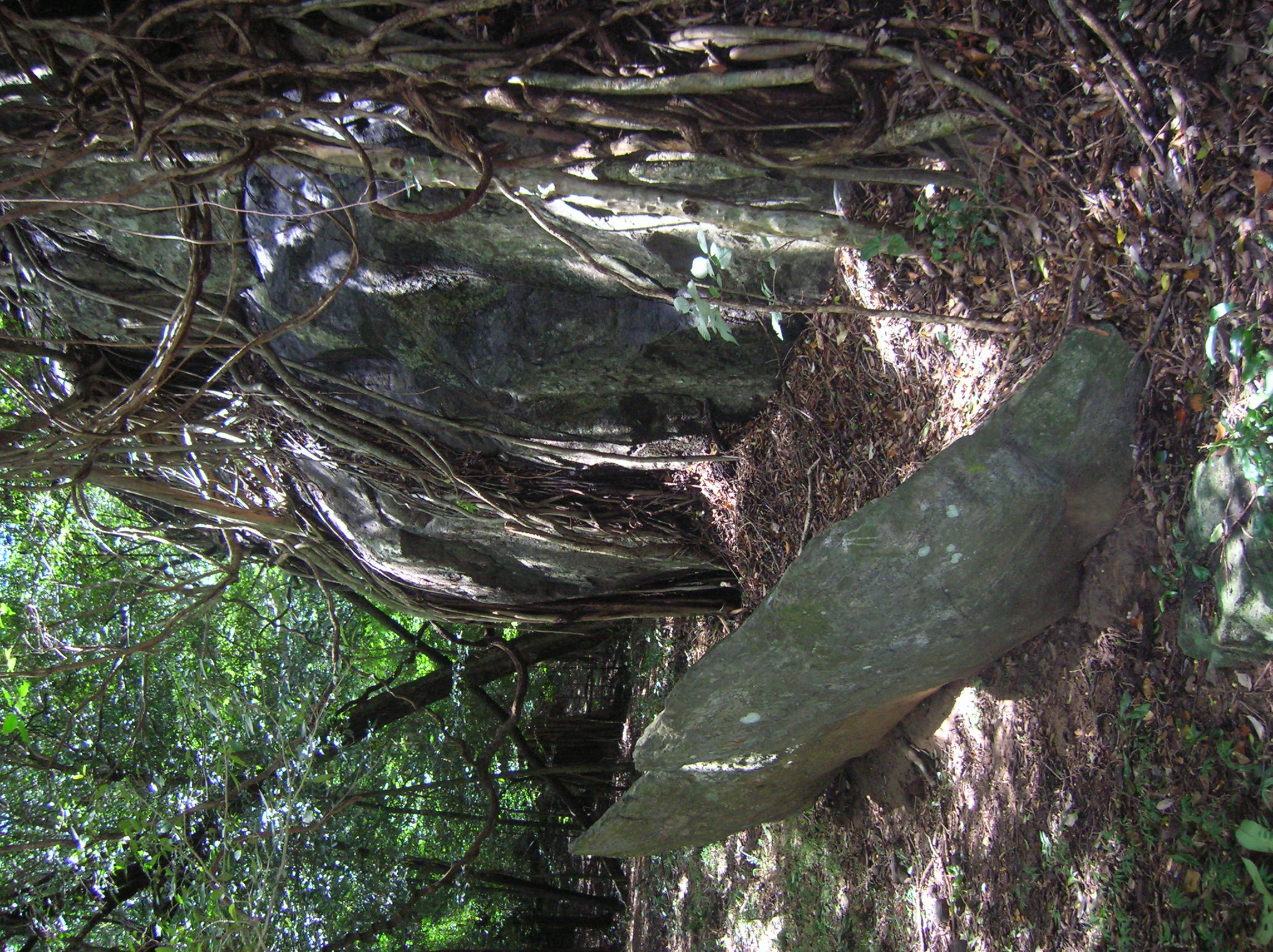
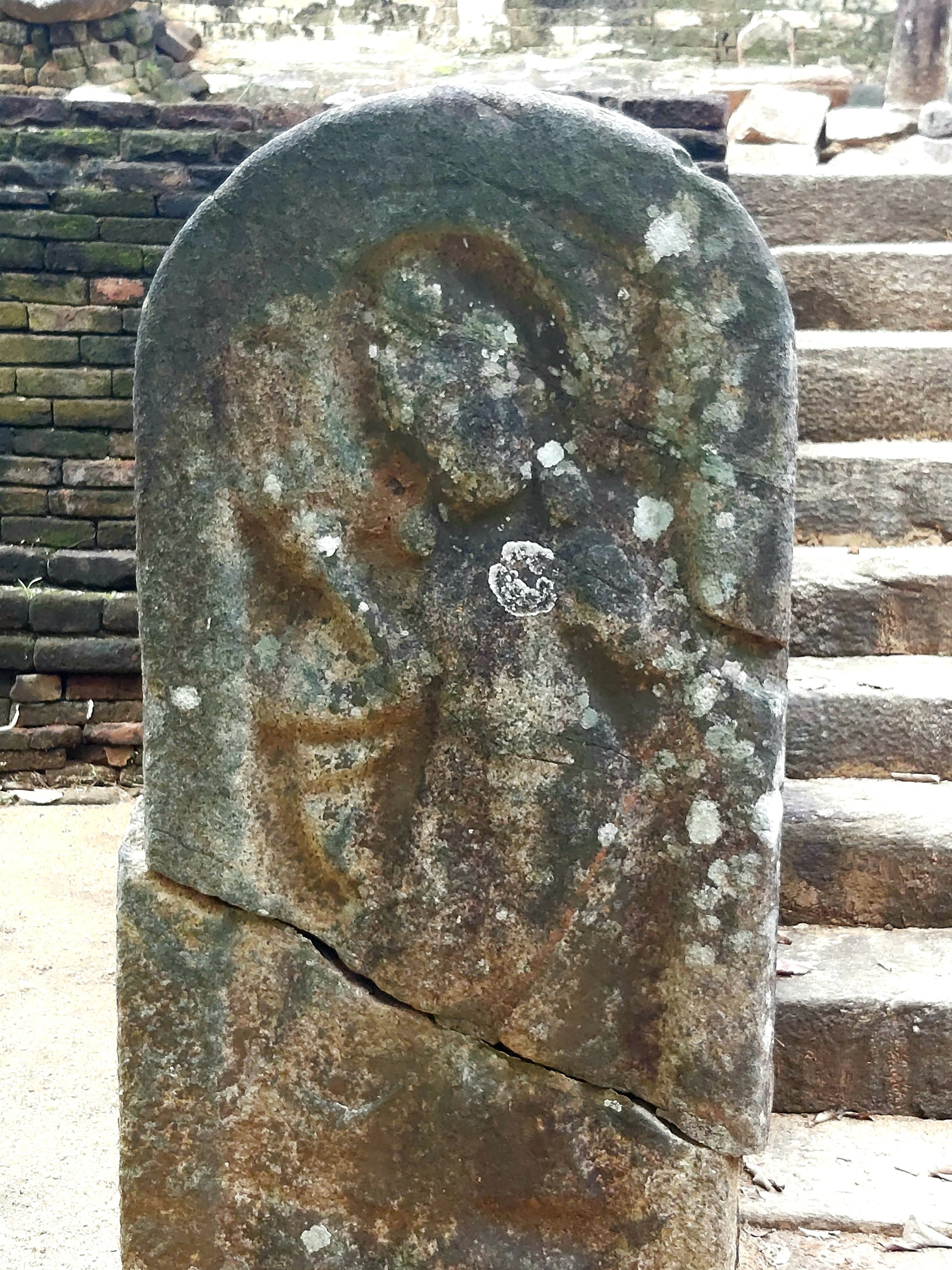
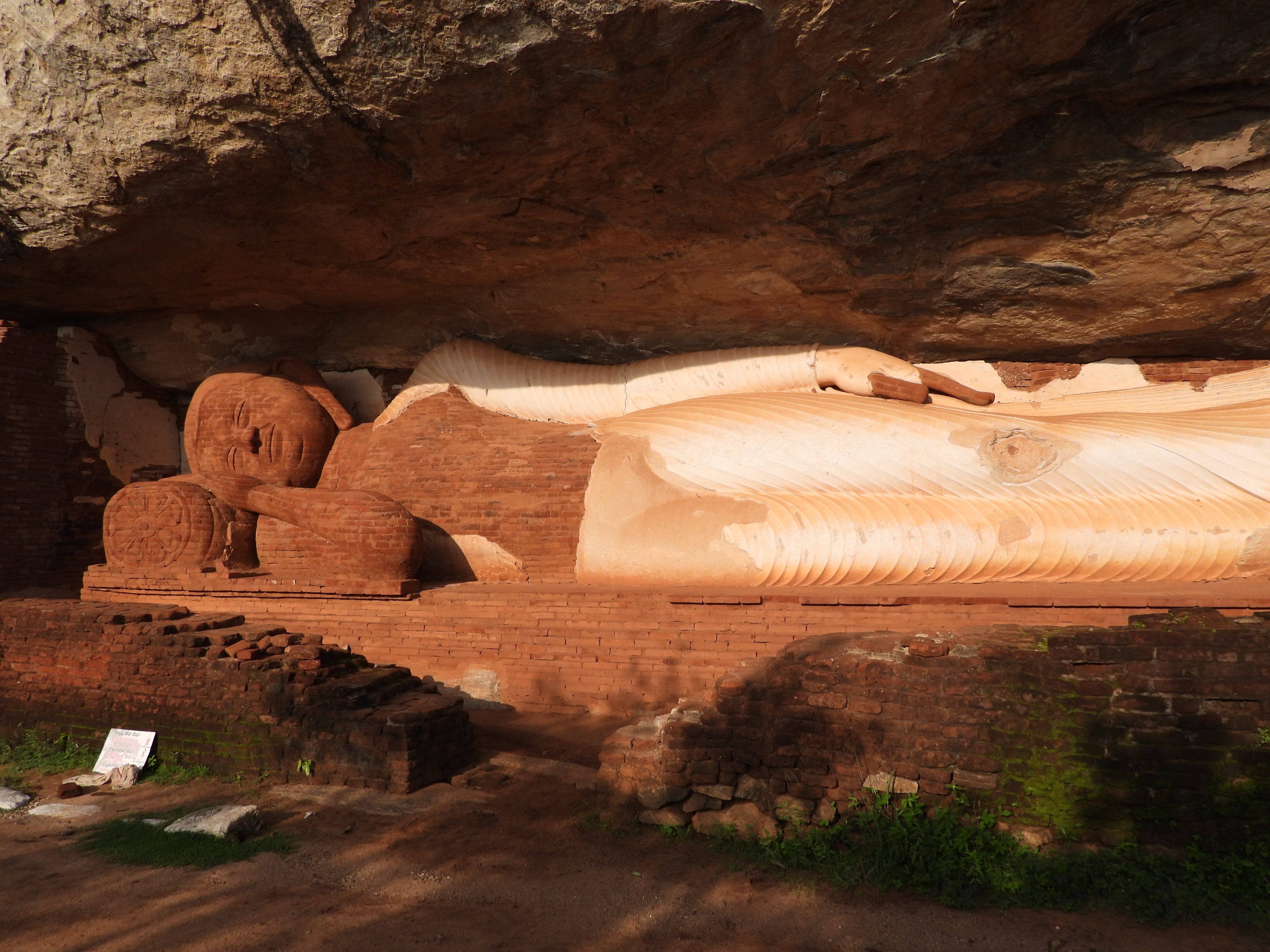
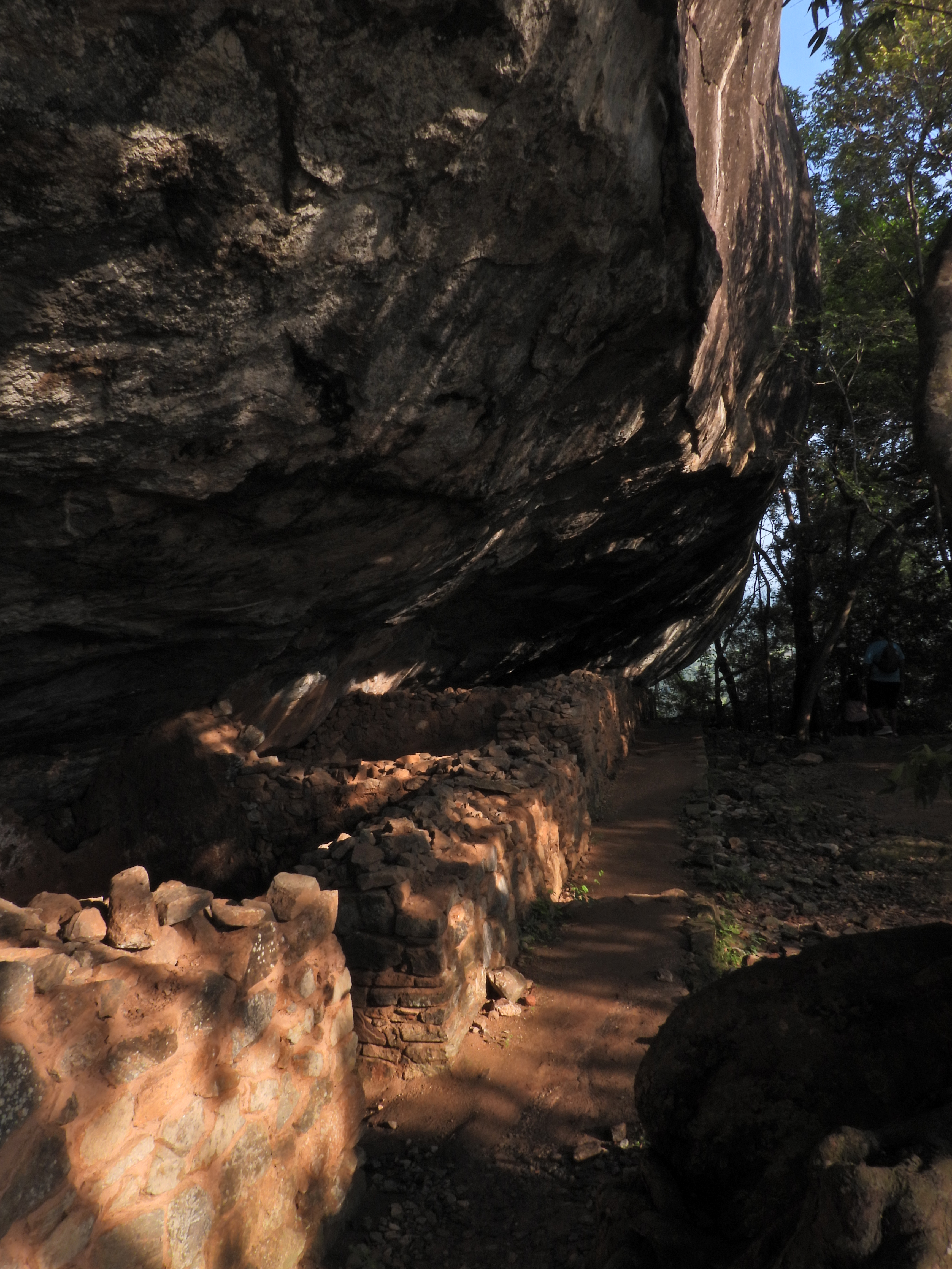
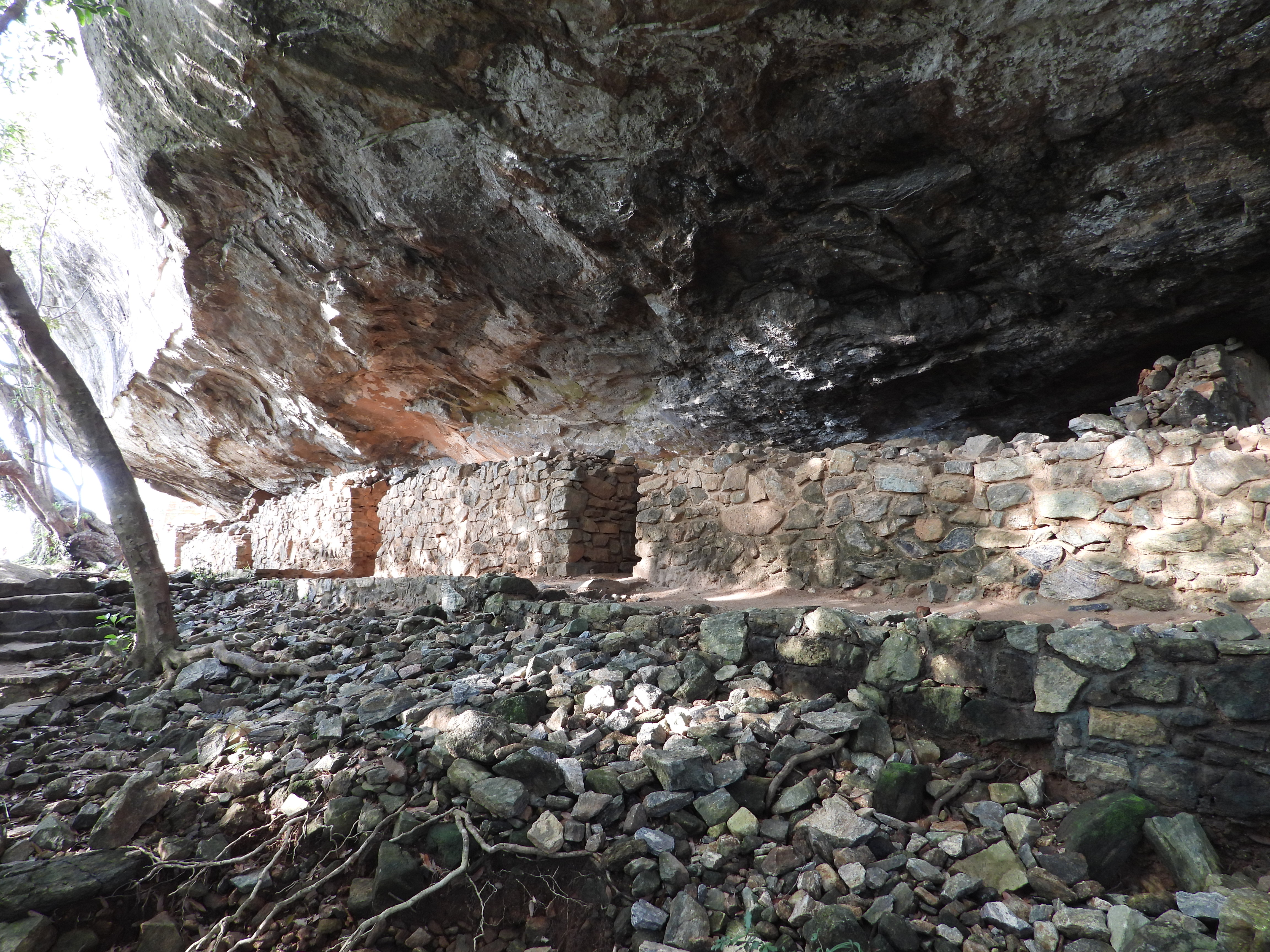
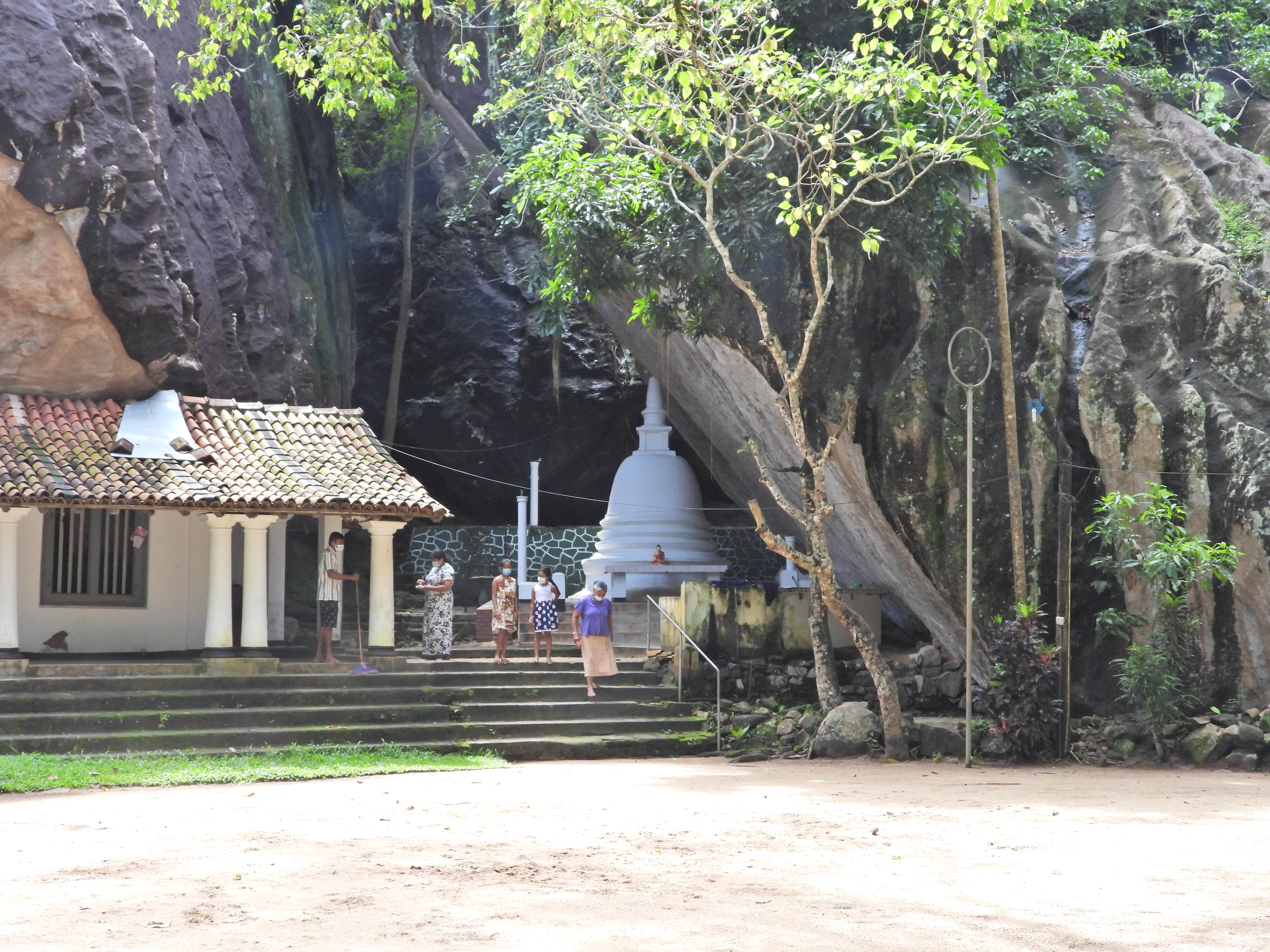
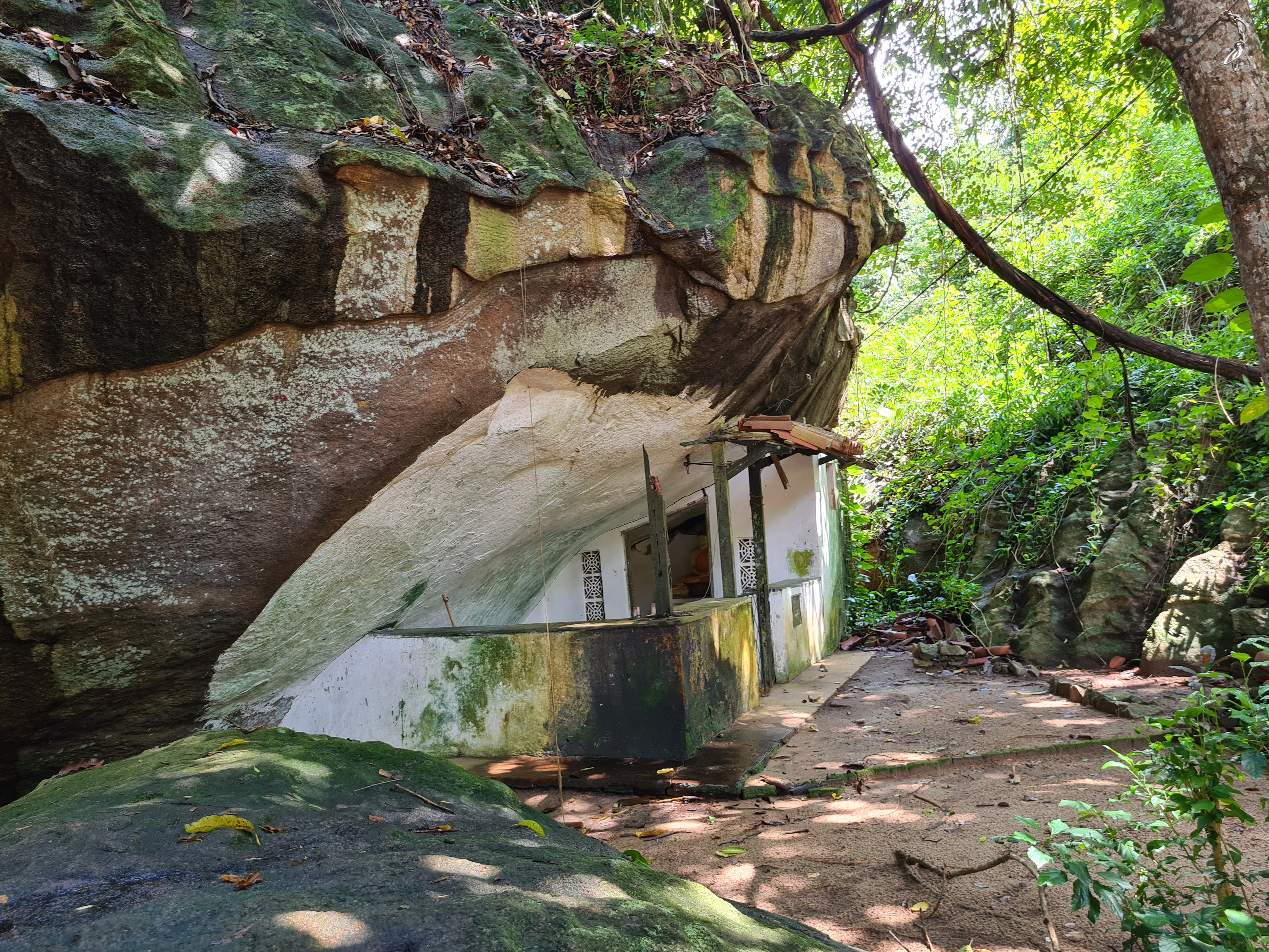
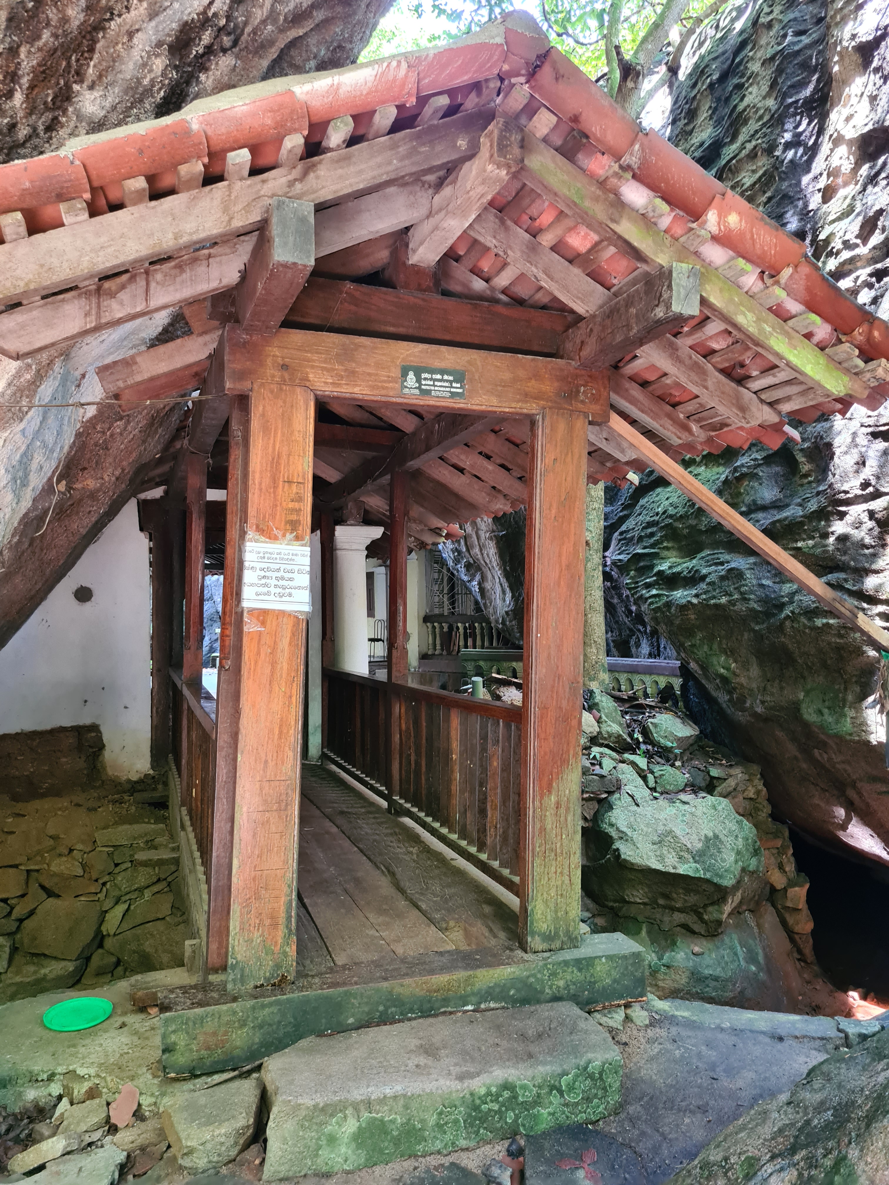
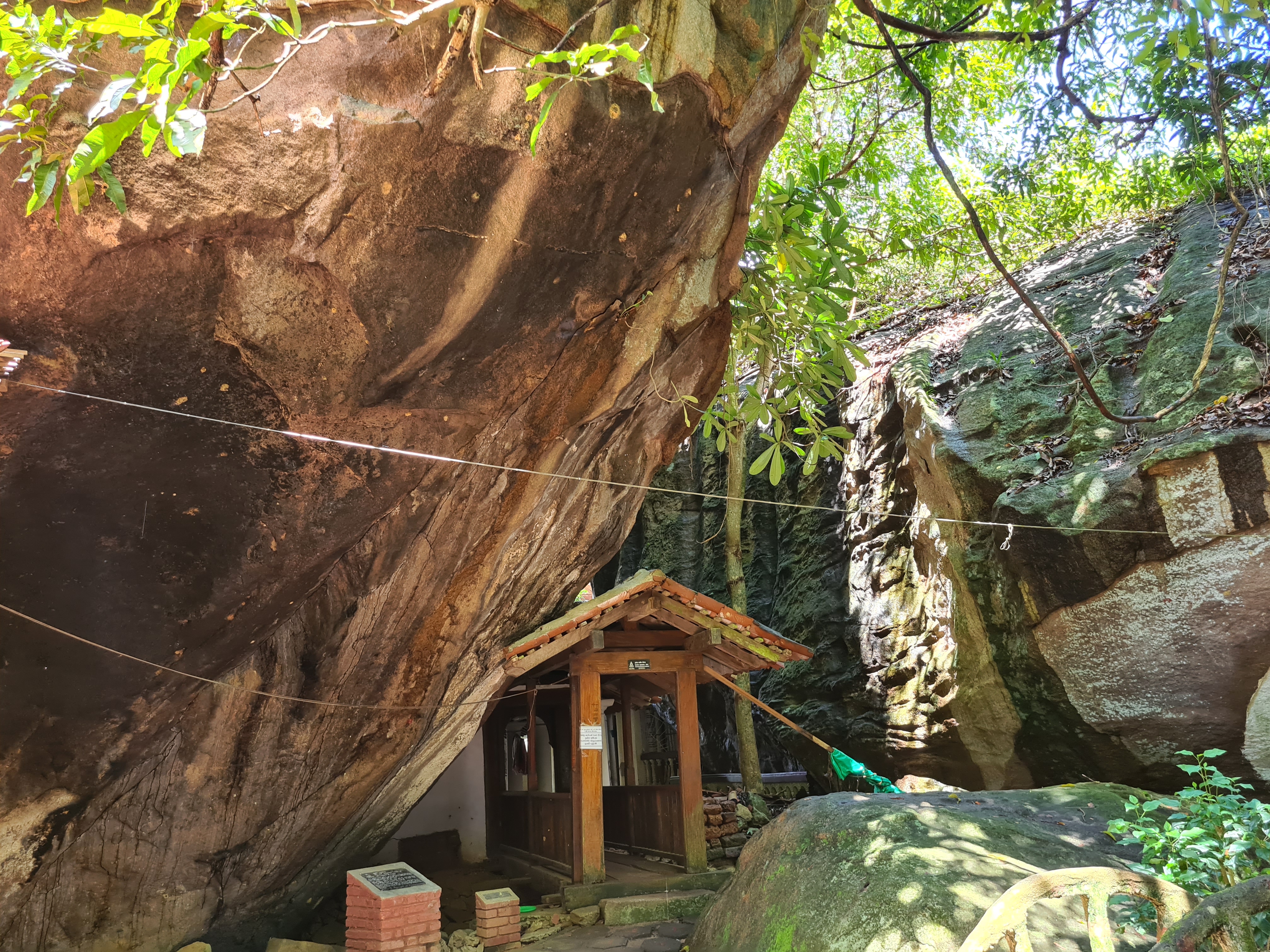
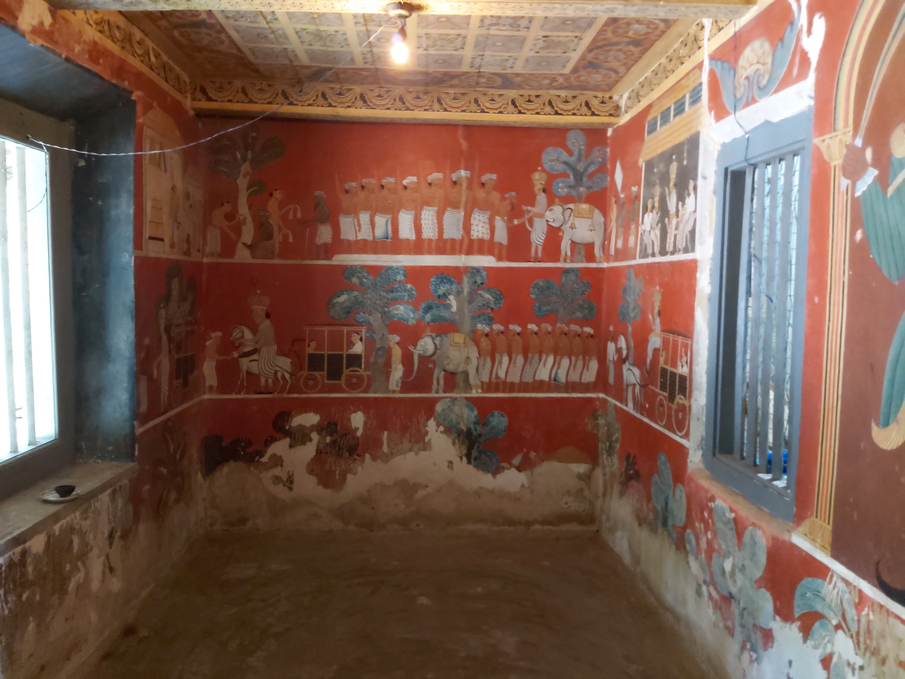
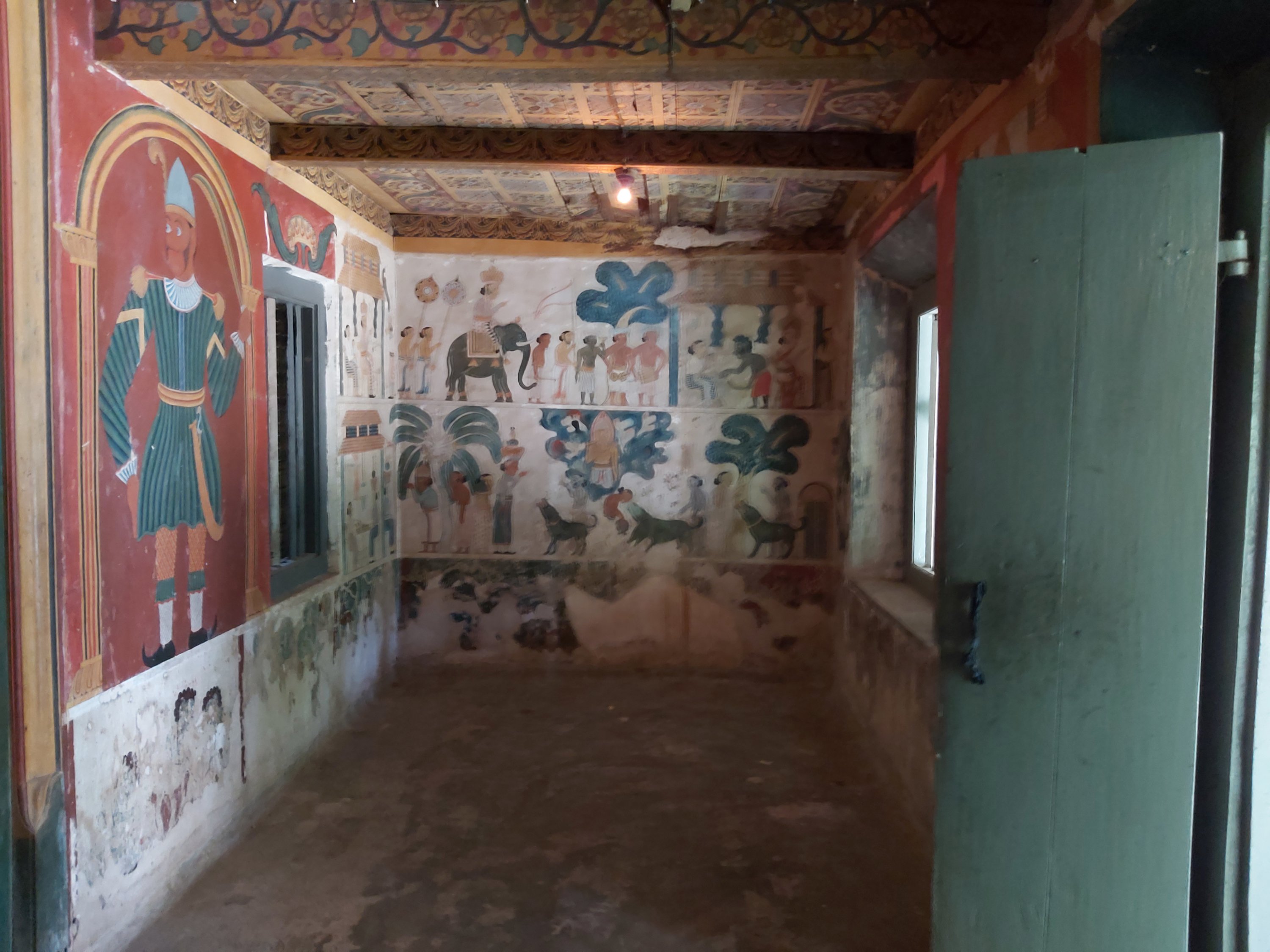
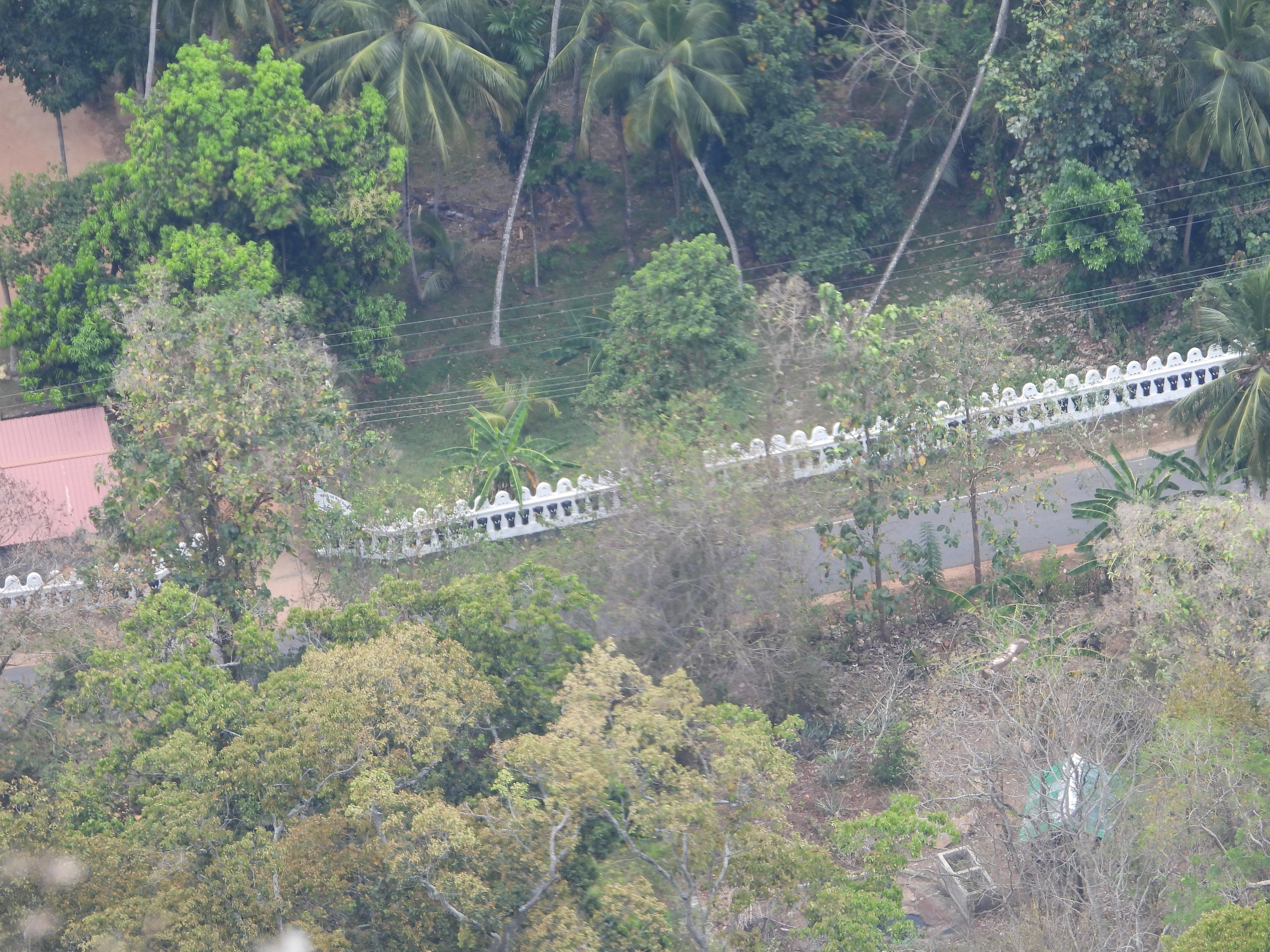
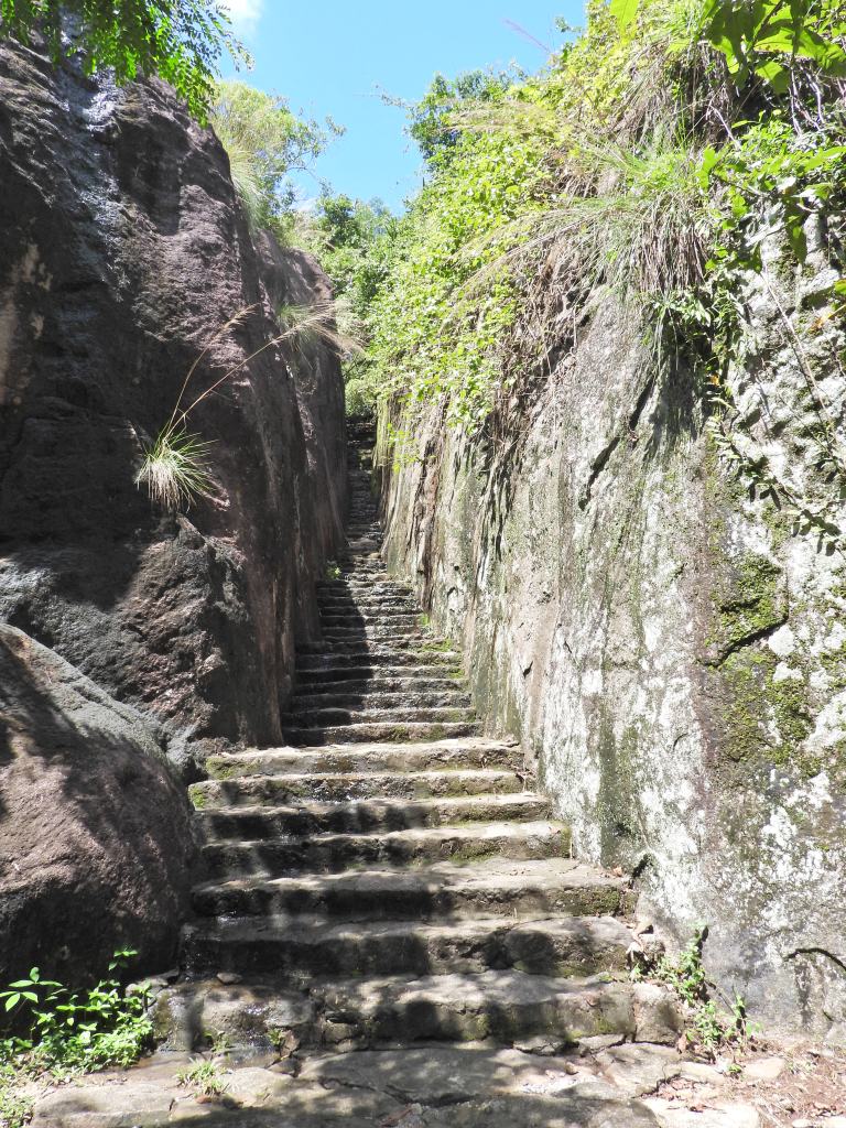
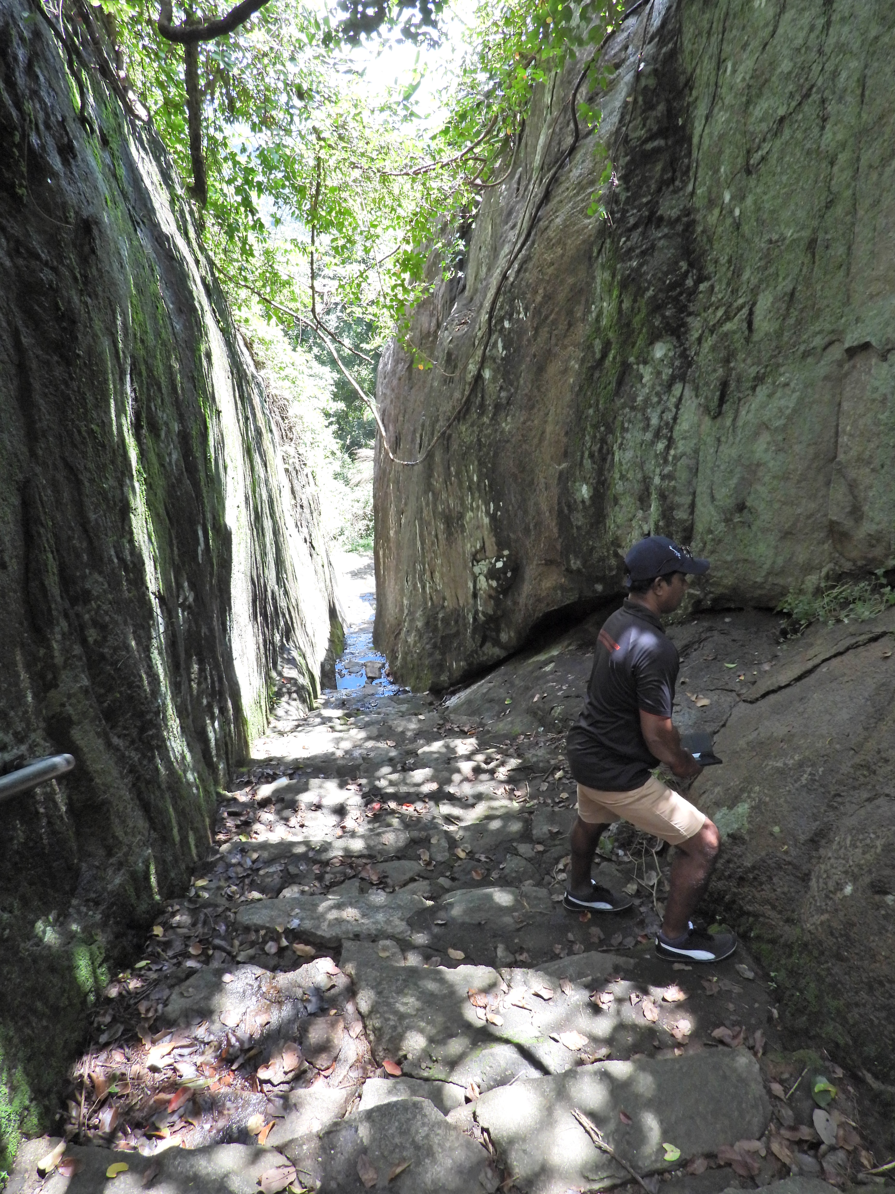
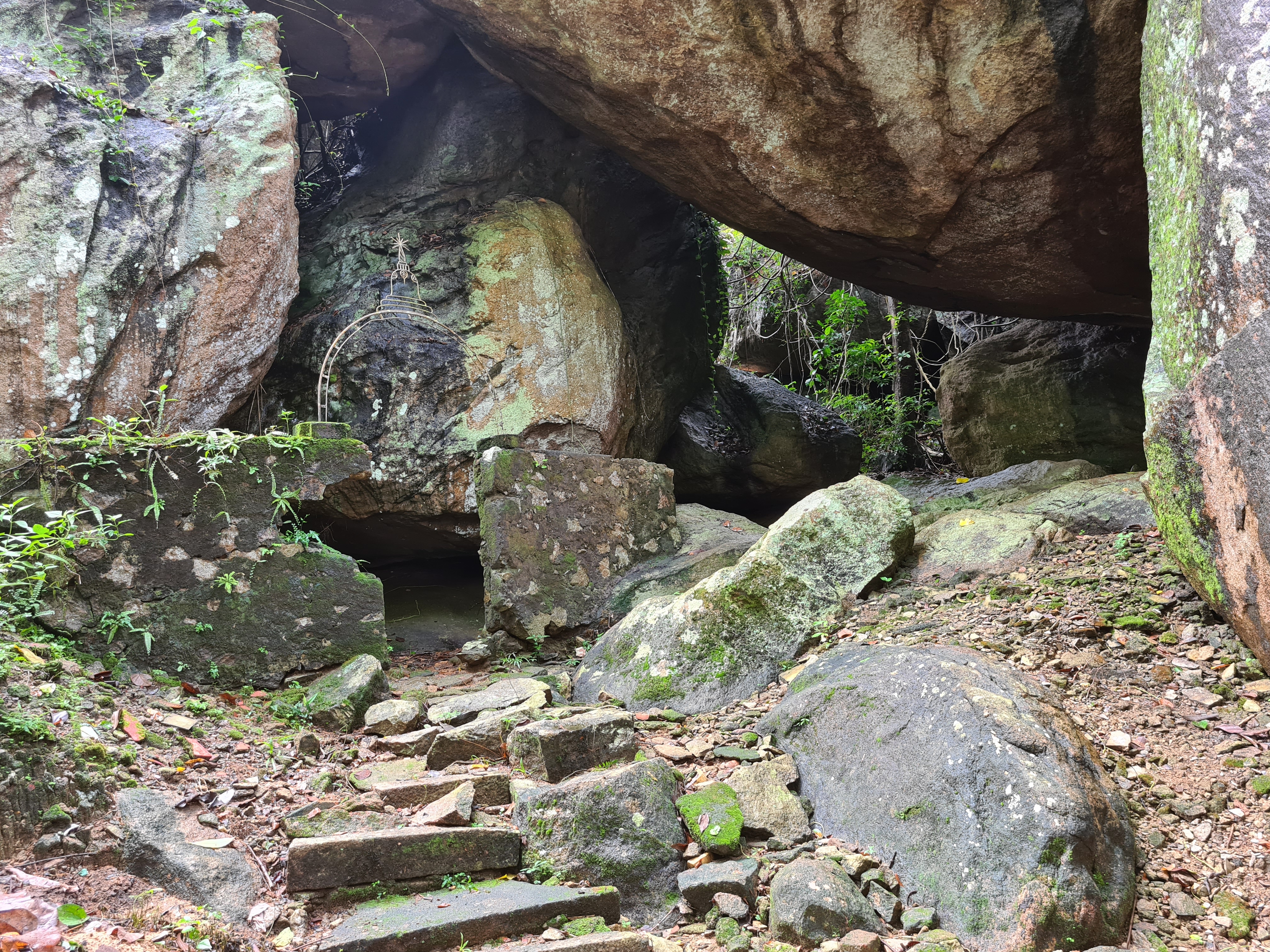
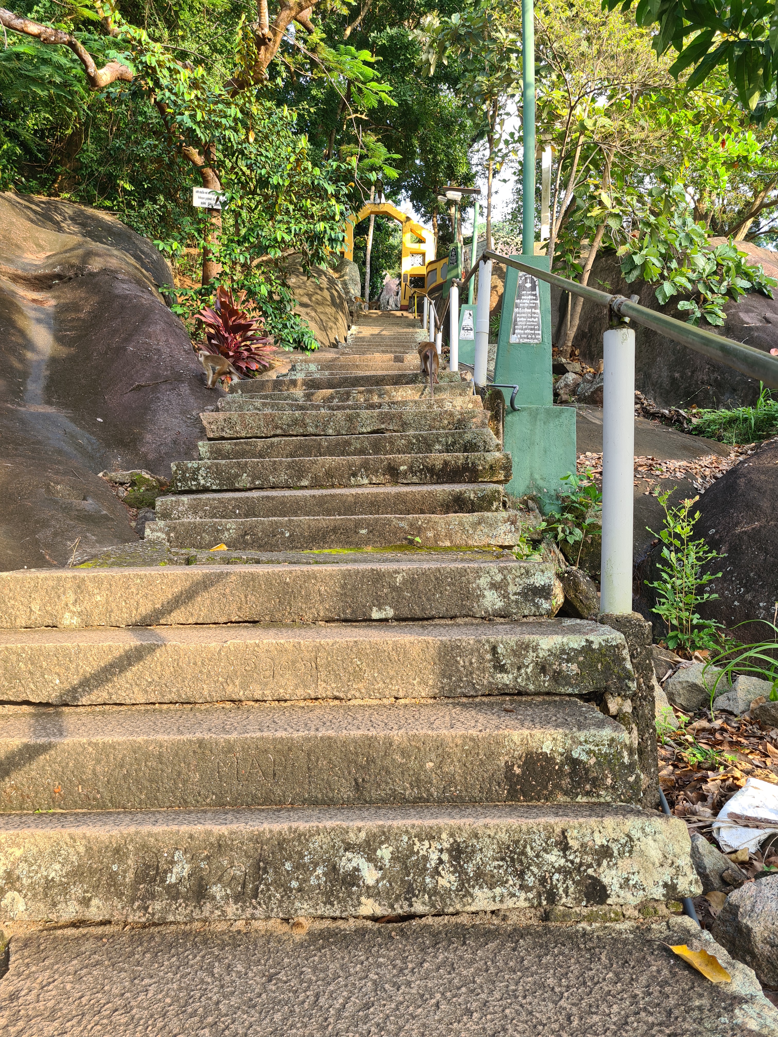
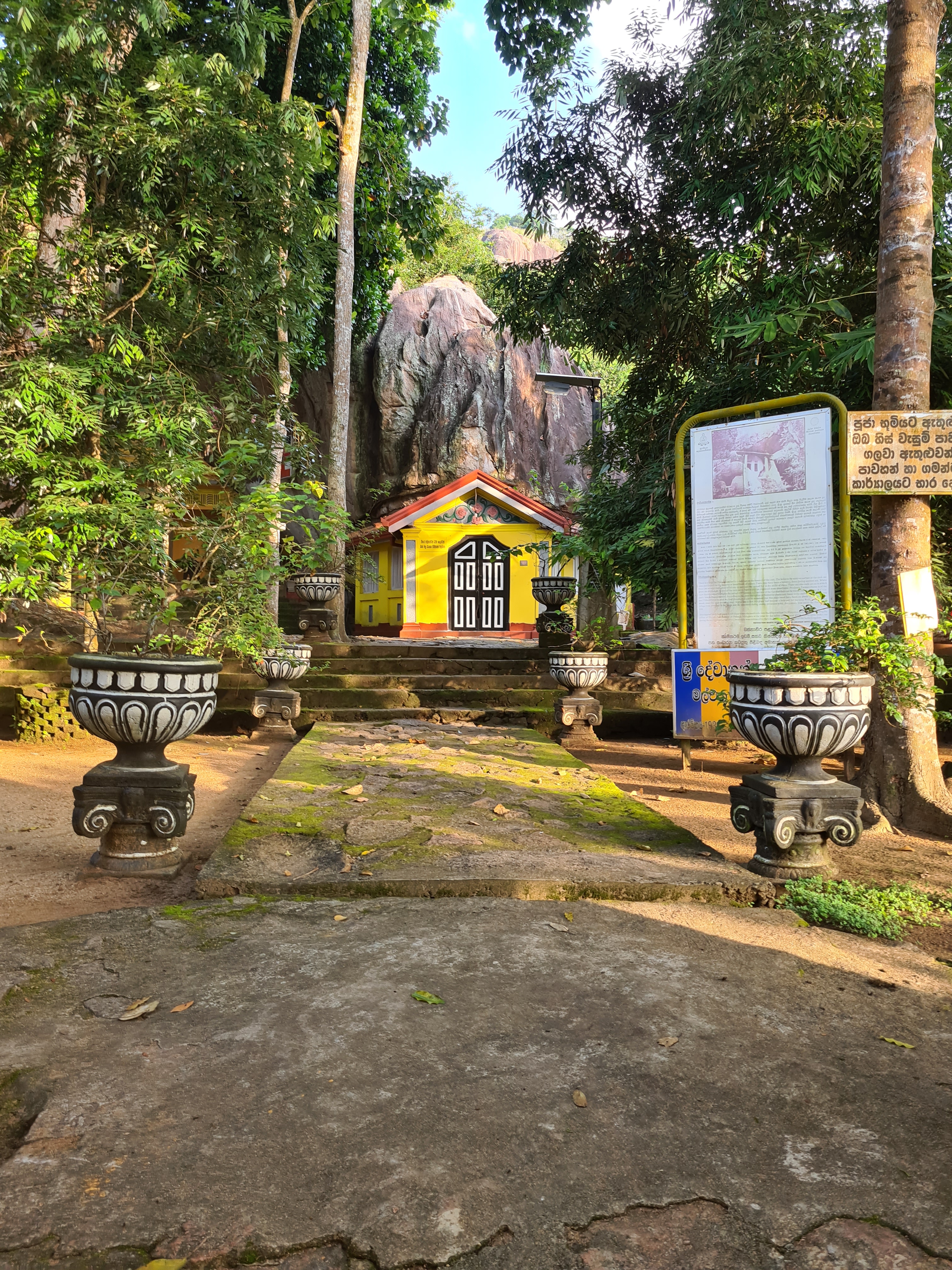
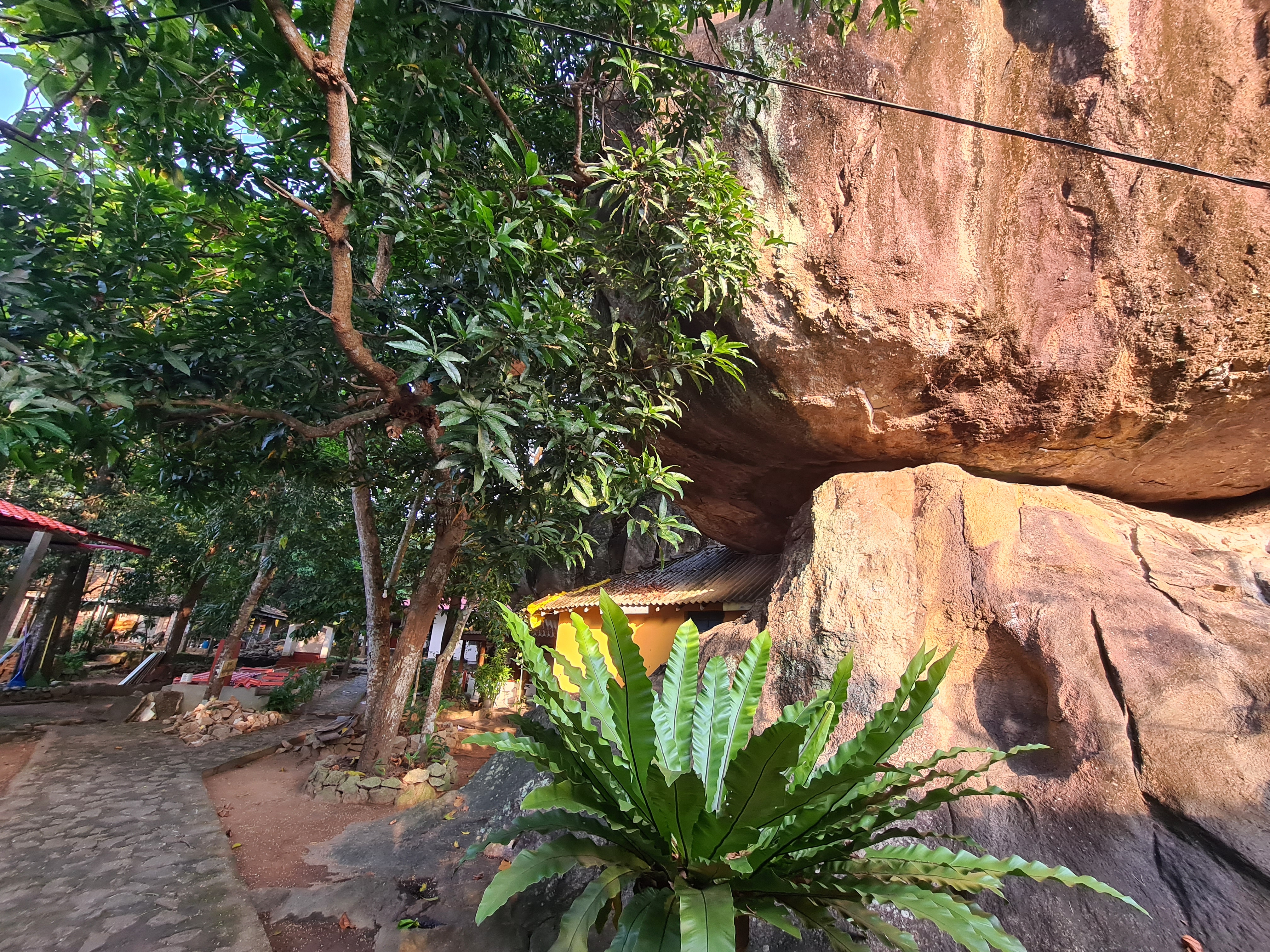
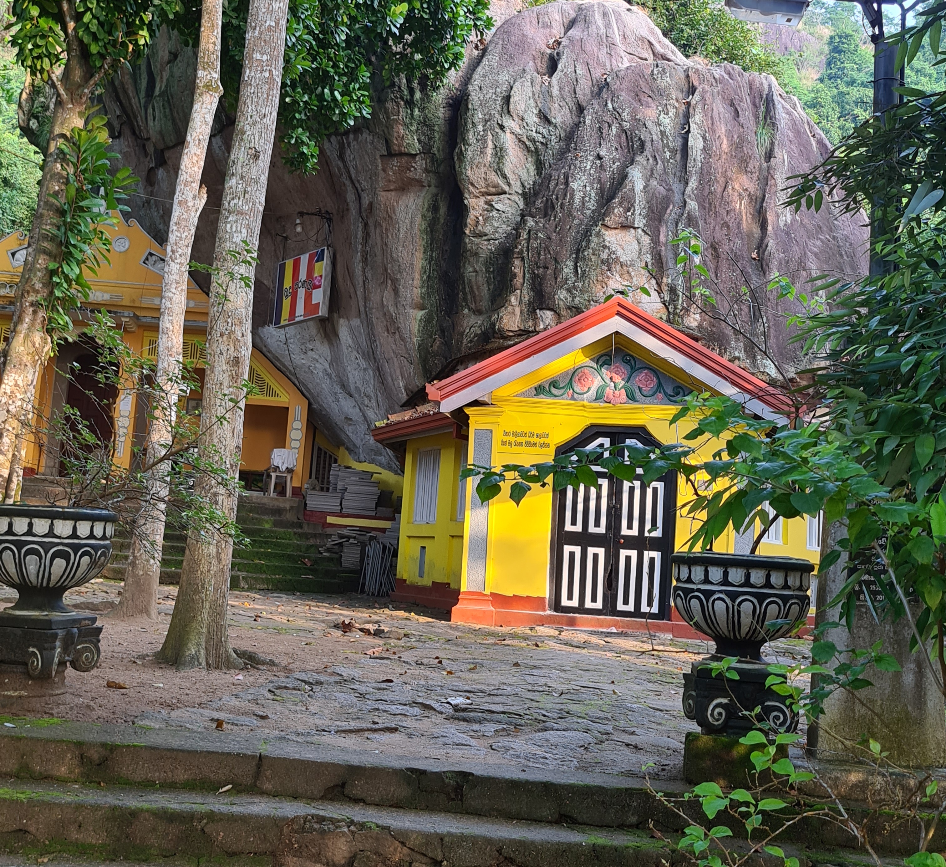
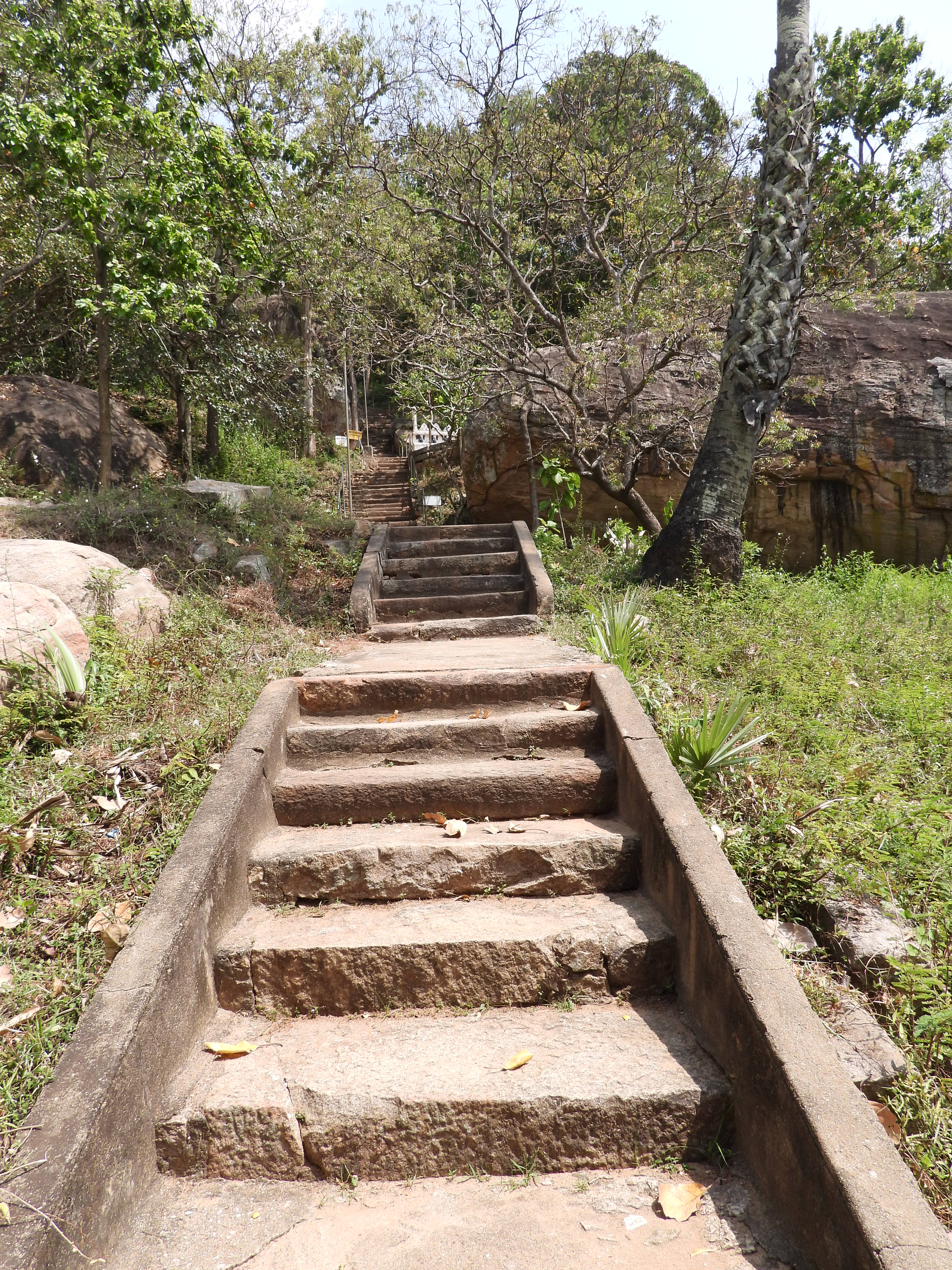
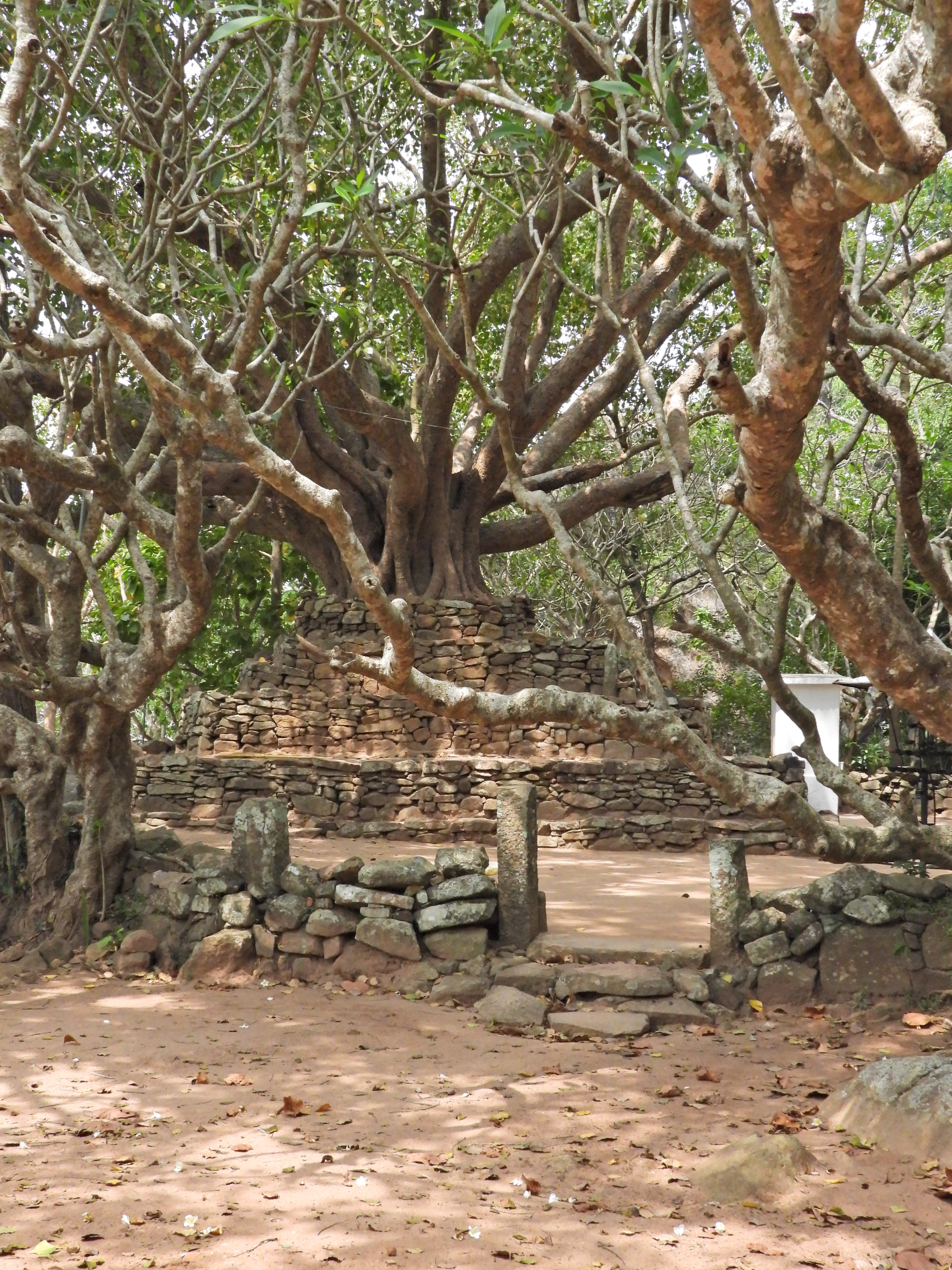
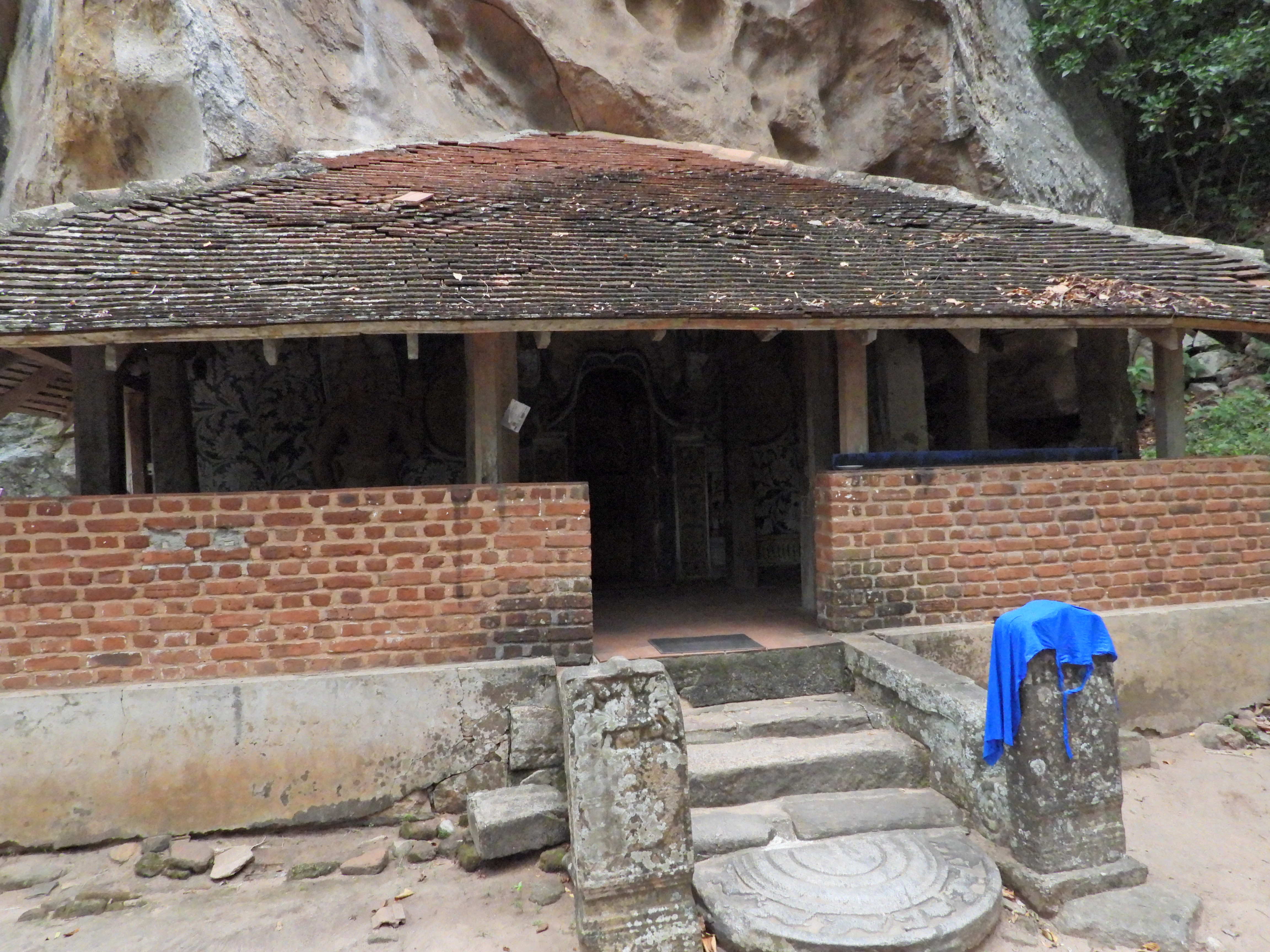
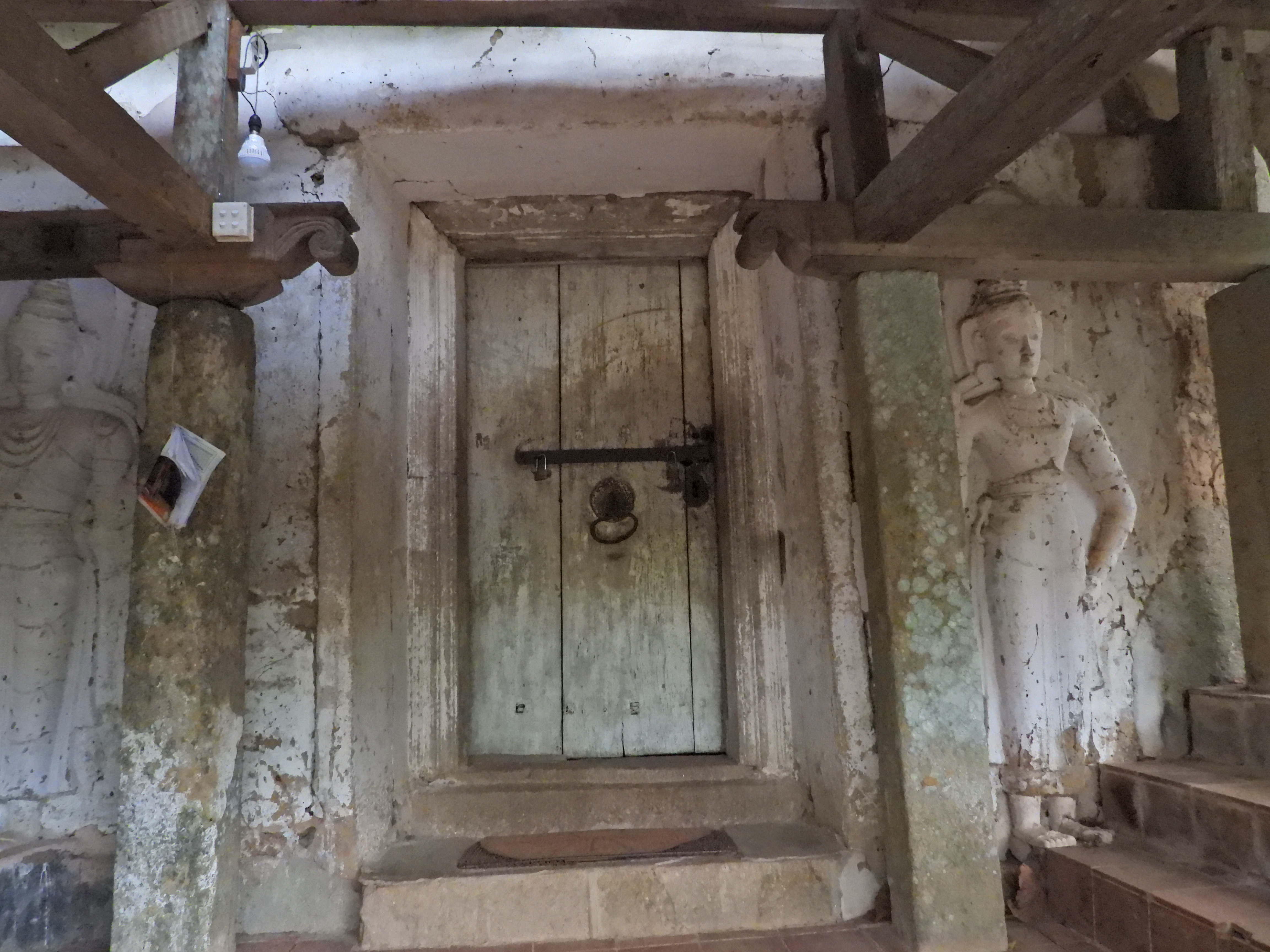
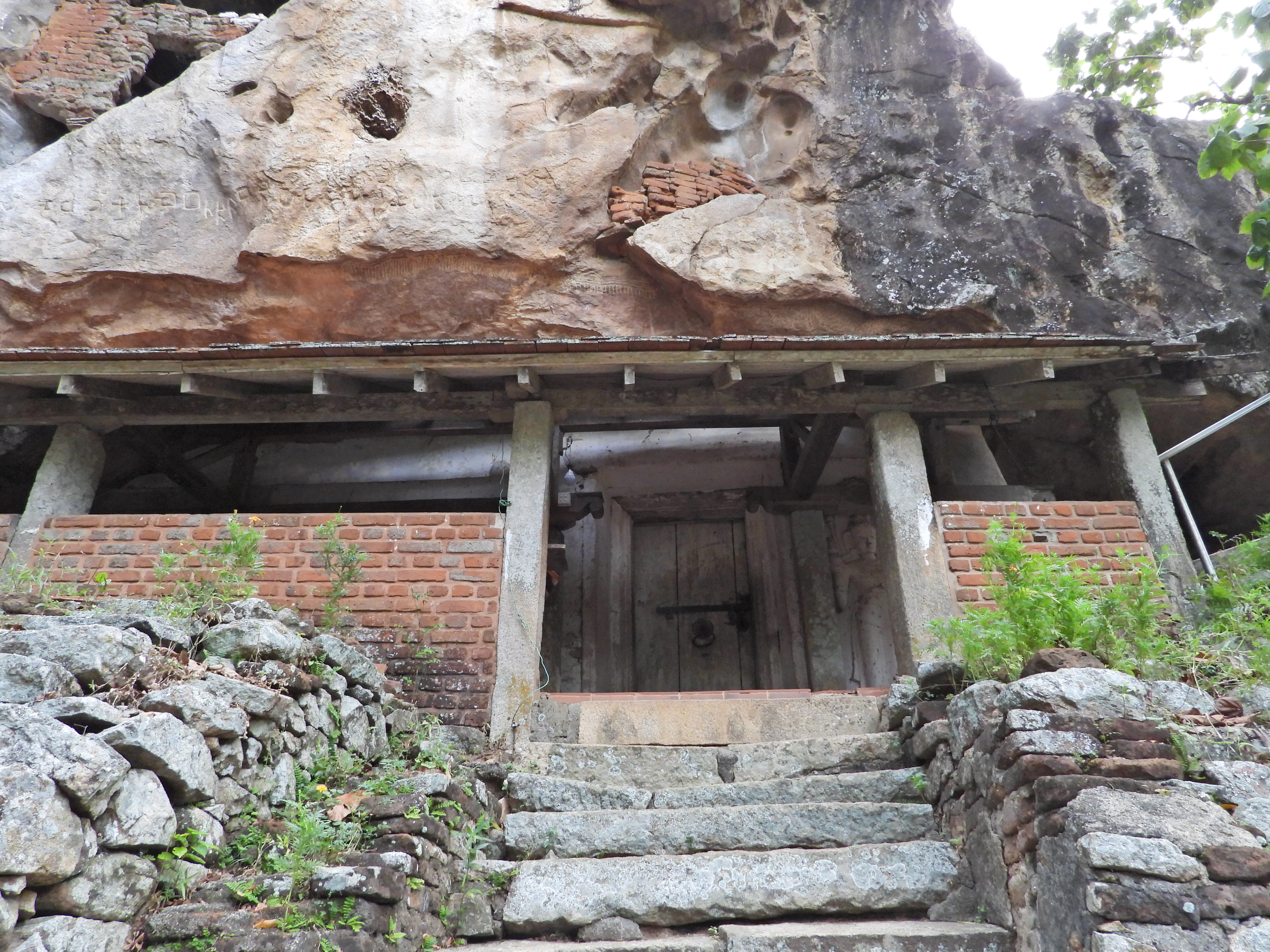
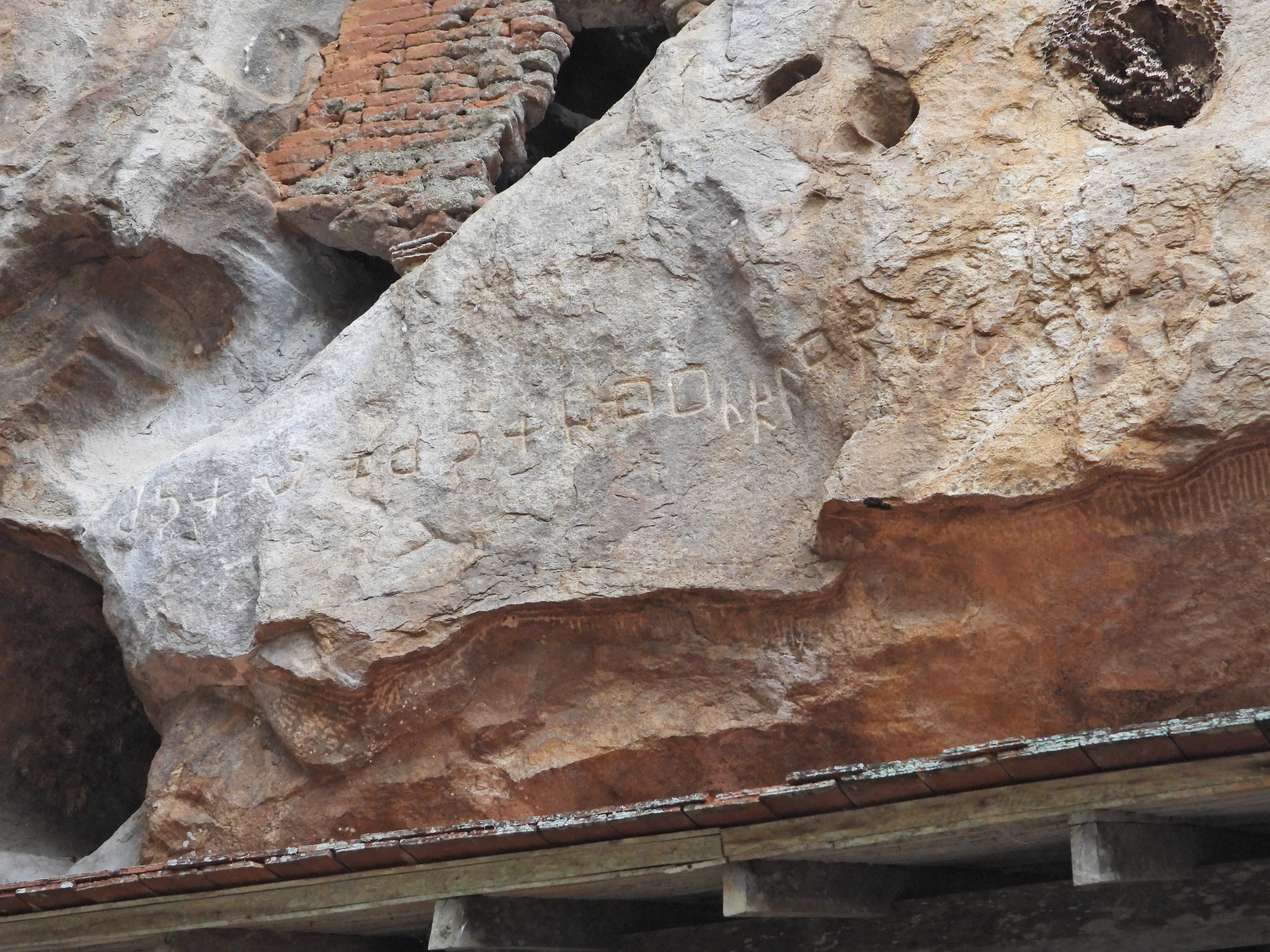
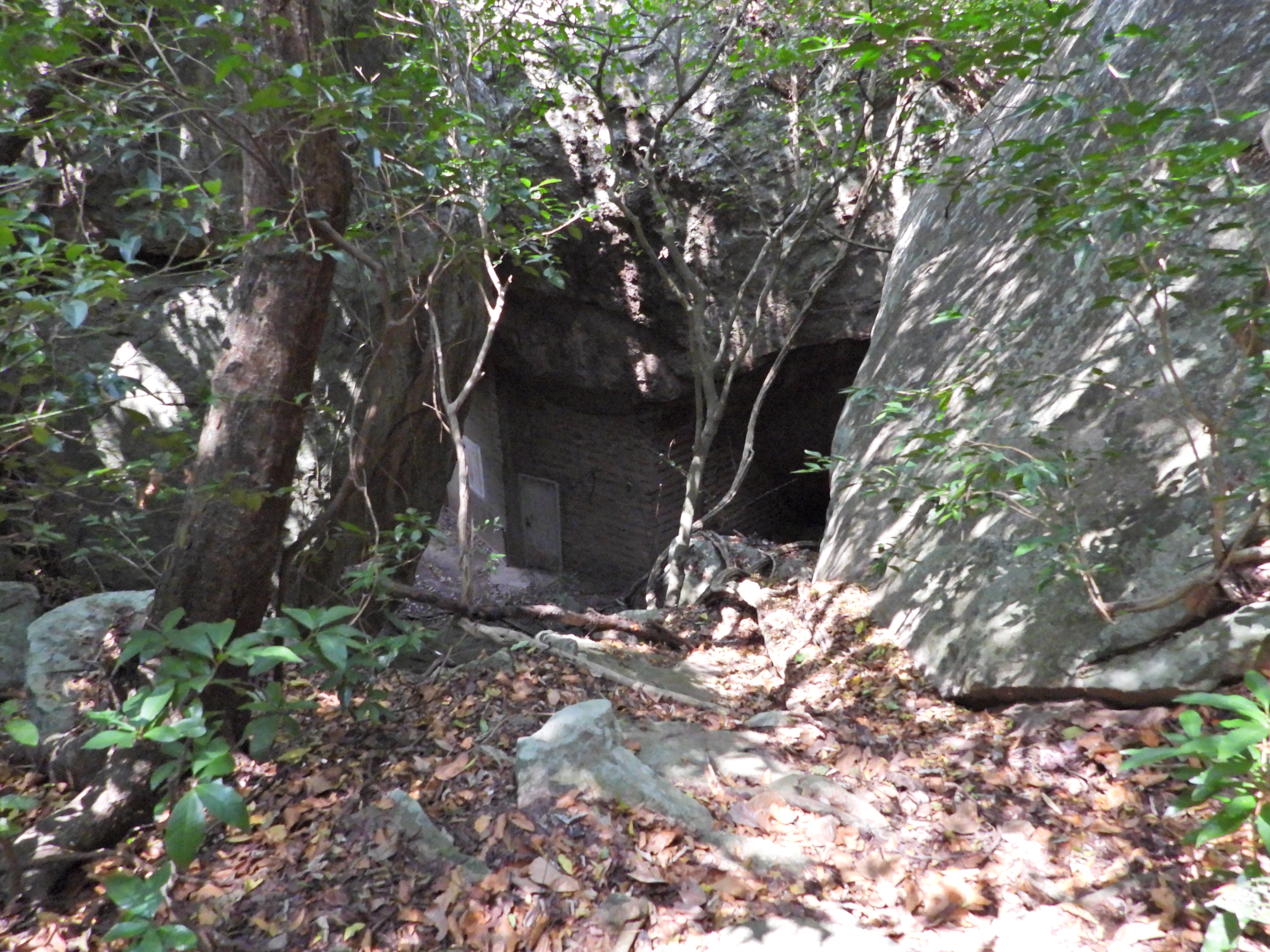
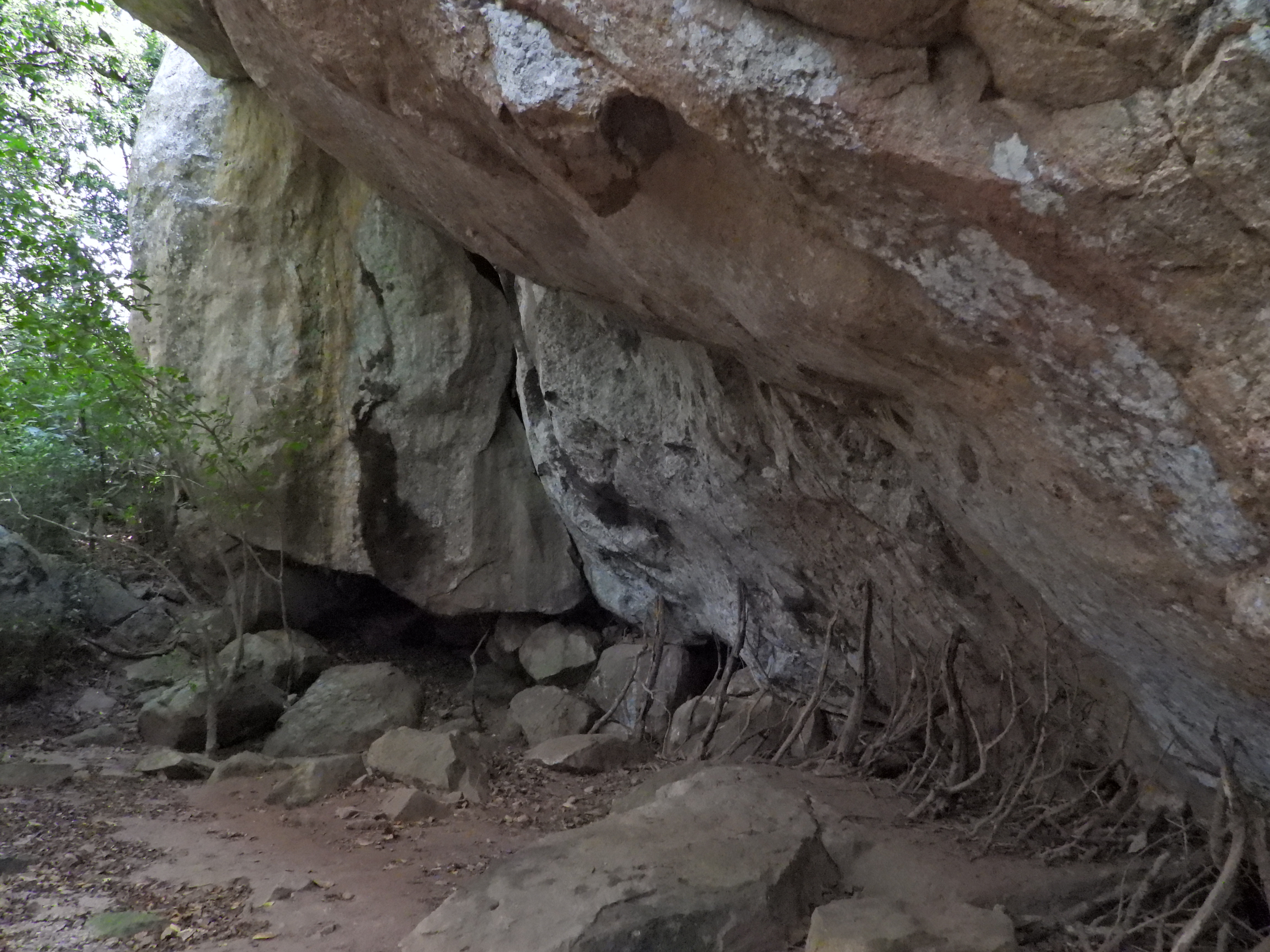
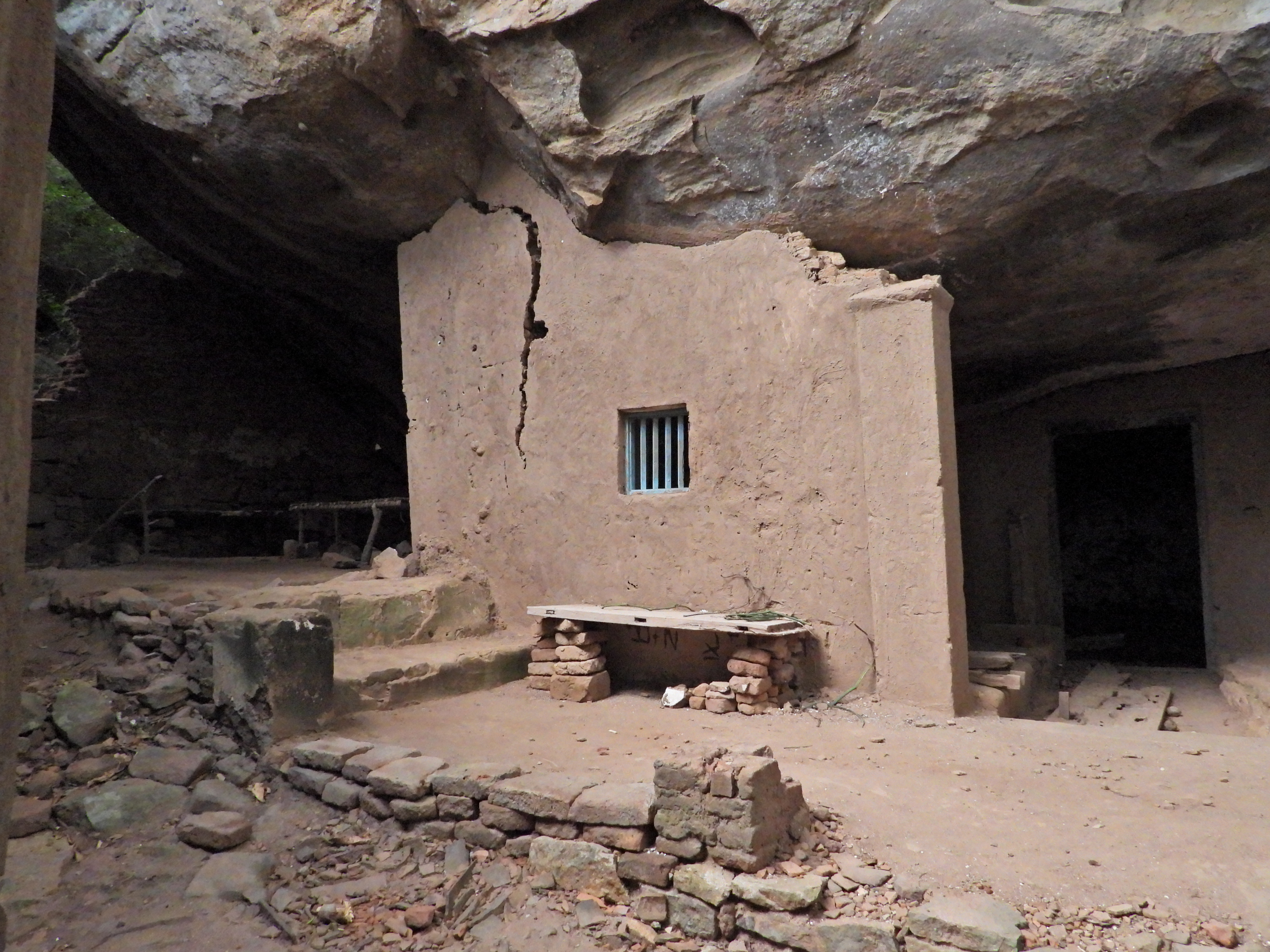
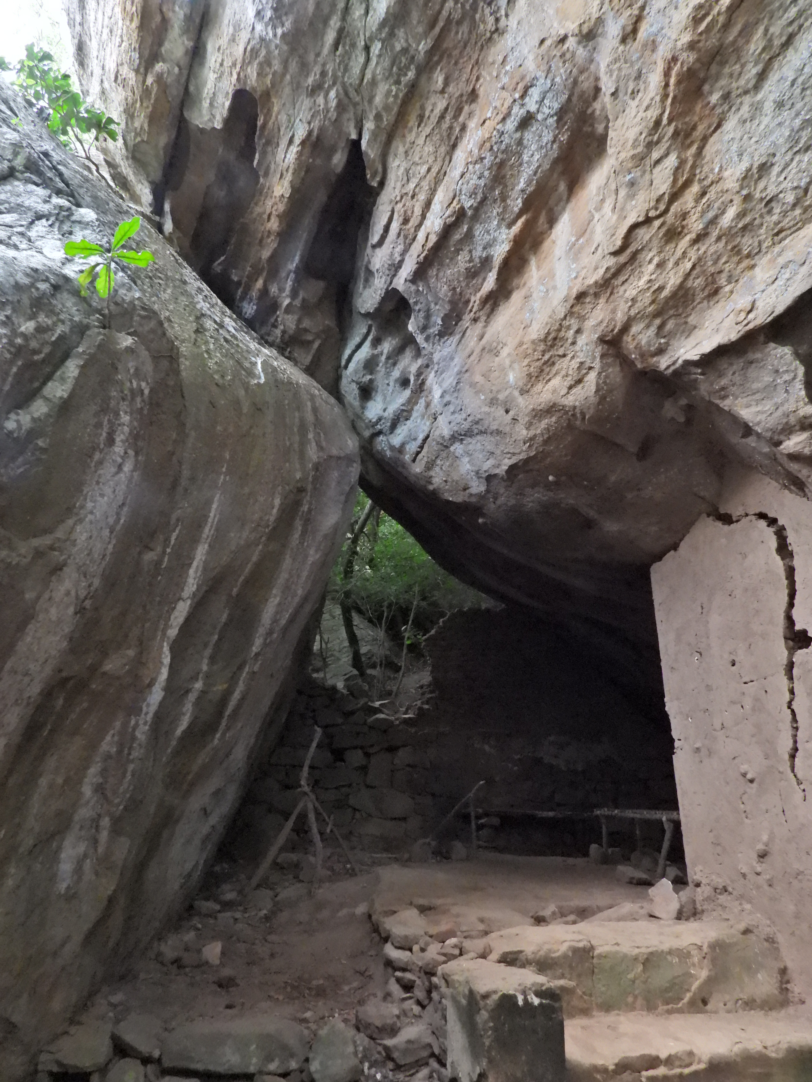
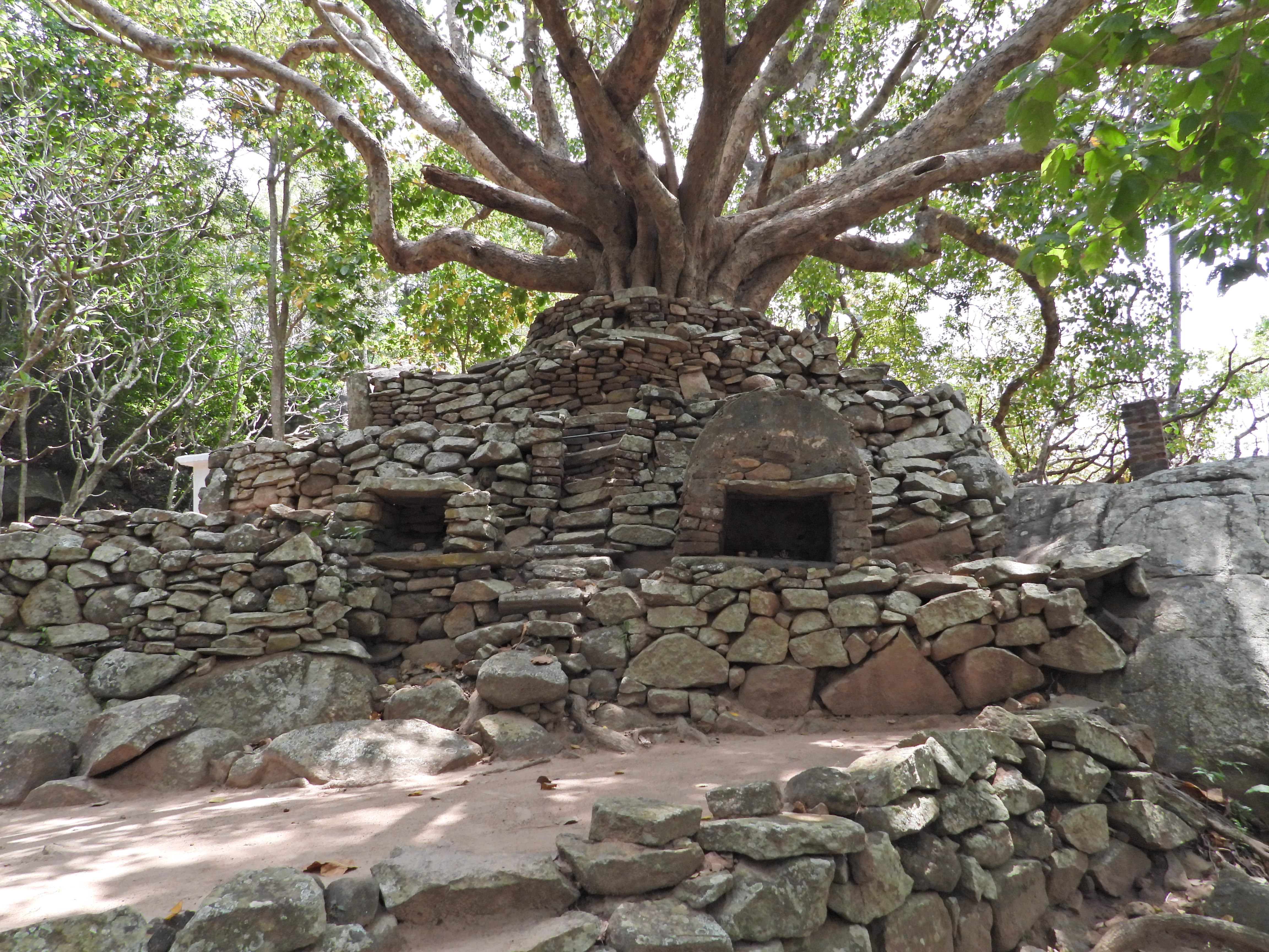
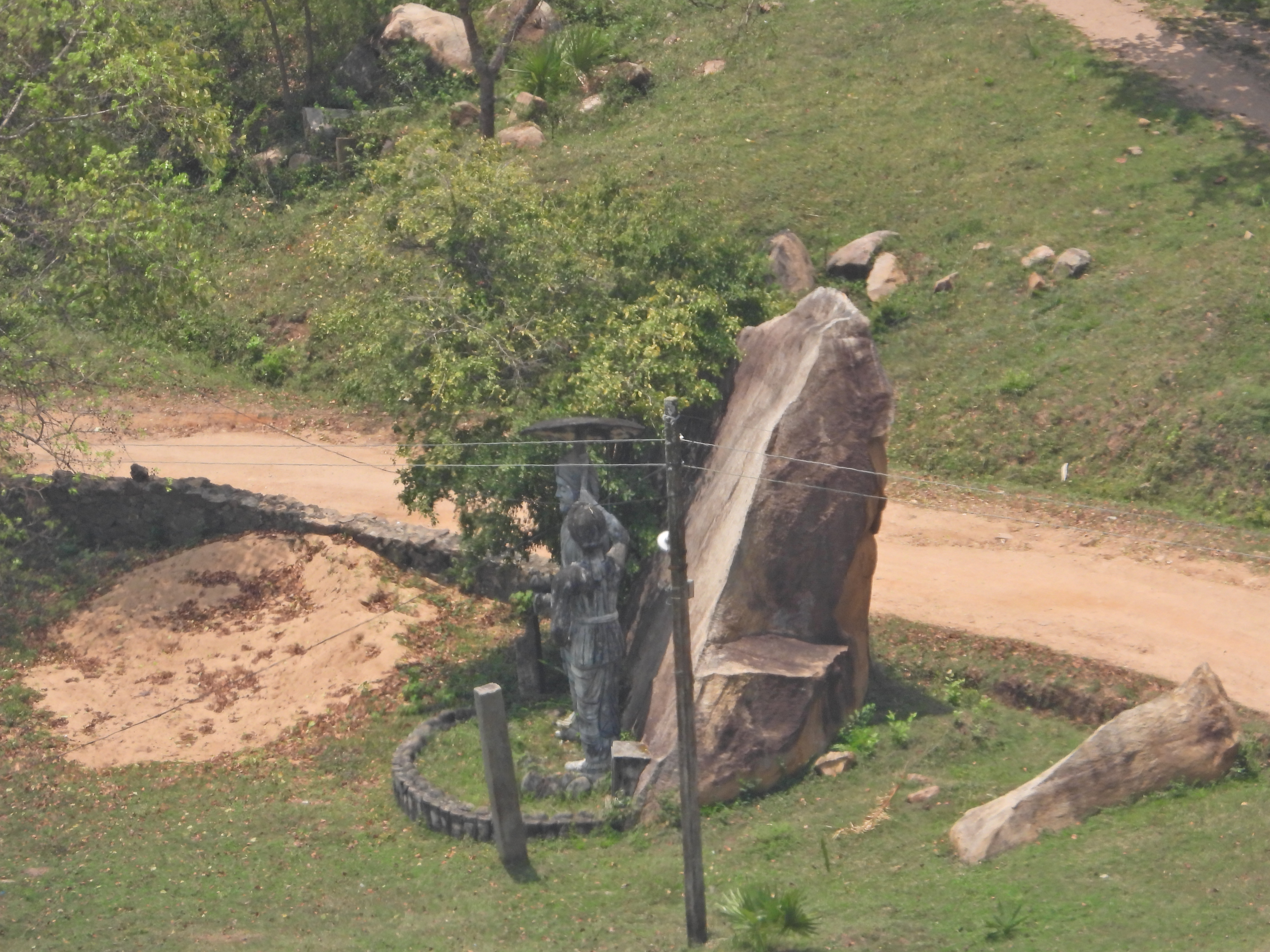
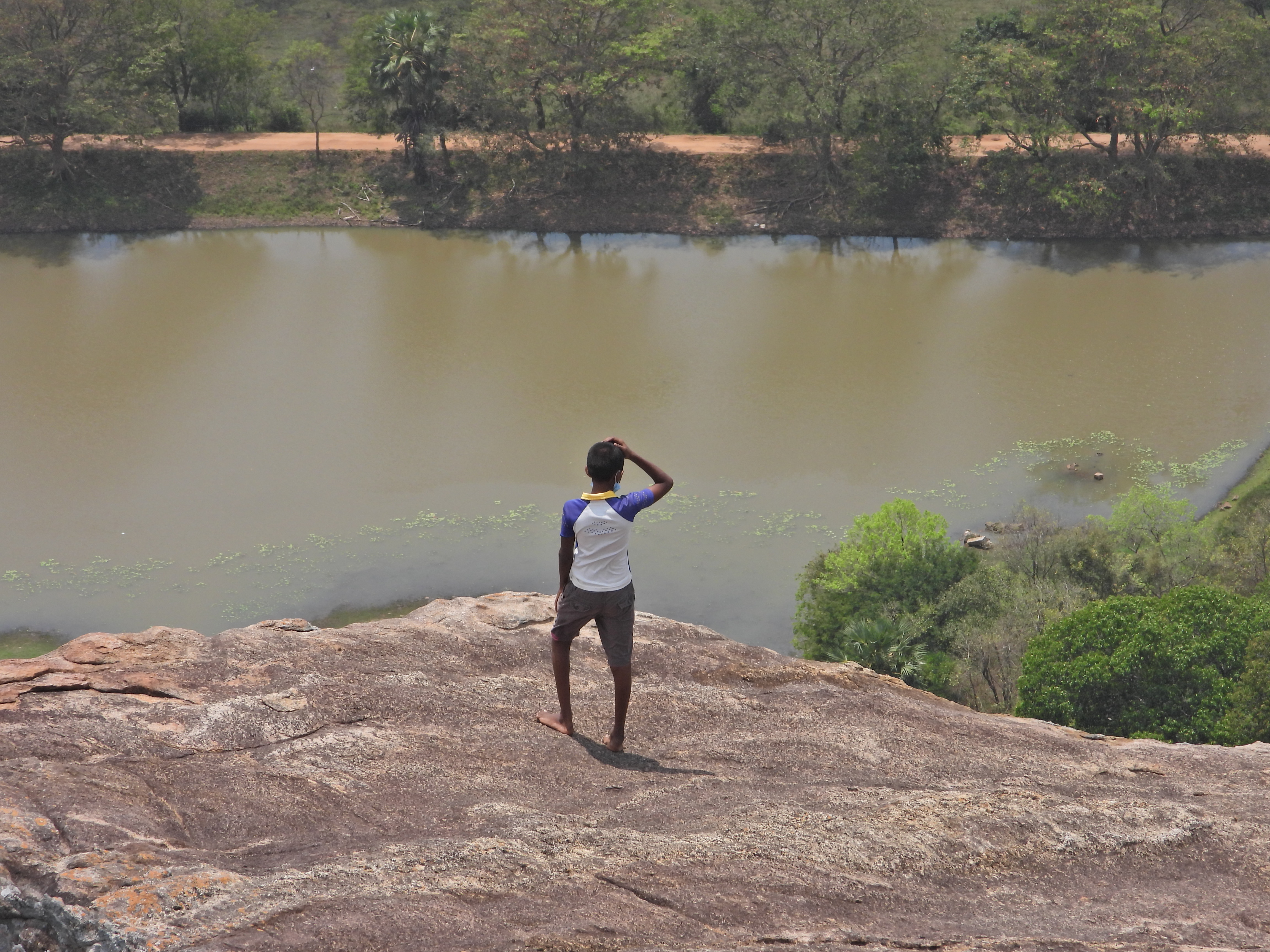
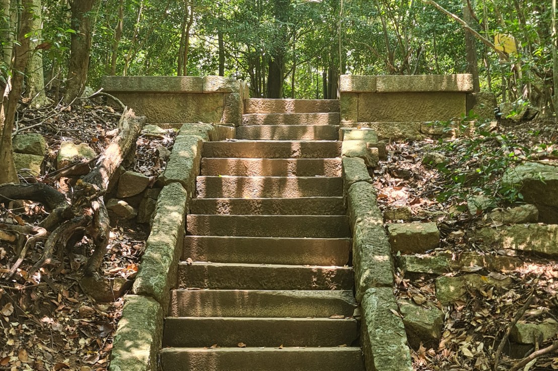
The ruins currently under restoration is thought to be that of a monastic retreat. At the start of the current trail is a gigantic man made pond thought to be the largest in Asia if not the world. Encompassing an area of 2.5 acres would have been a sight to see in its time. Currently this has been partly restored. Further down the trail, one is treated to exquisite stair ways the quality of pricision even todays technology would be hard pressed to deliver. The sharp edged stones and interlocking assembly speaks of a advanced technology lost to mankind now. The stone bridge which is to date sturdy as when it was set is engineering feat to behold. The Meandering stone laid path way up the hill is easy to climb due to gentle slope maintained. The path way has resting places at intervals to rest any weary feet. It is set in a circular fashion so that the monks can continue their walking meditation whilst resting and one such resting place has had water filled foot bath to soak ones feet. The carving of the stones in circular fashion is though provoking. The path leads to first of 2 buildings which is thought to have been surrounded by water with elevated floor boards. There are air inlets below the flow boards, which would have had a very cooling effect when air blows over the water. The area around these buildings and path way is littered with ruins of many other buildings. Off the path way is a man made waterfall, functioning even today. Made by blocking a water way with large carved stone slabs and the area below the water fall fashioned such that one could sit under the falling water or meditate. Stone steps carved in the rock enables one to climb to the sitting platform. The back of the waterfall and the surrounding is properly walled up to create a neat bathing pool.

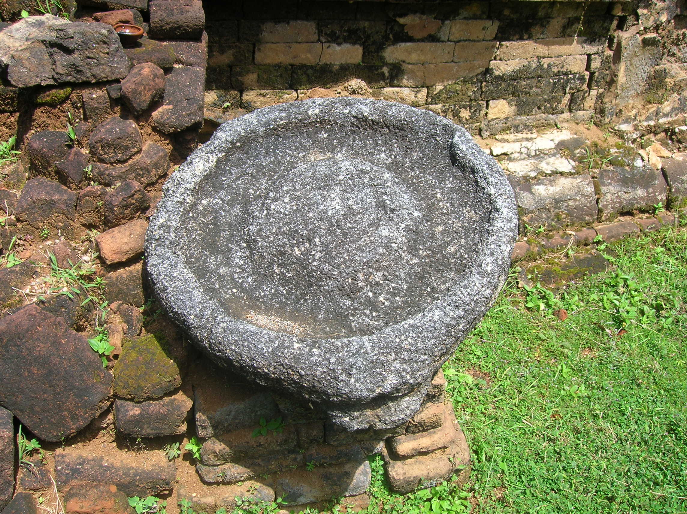
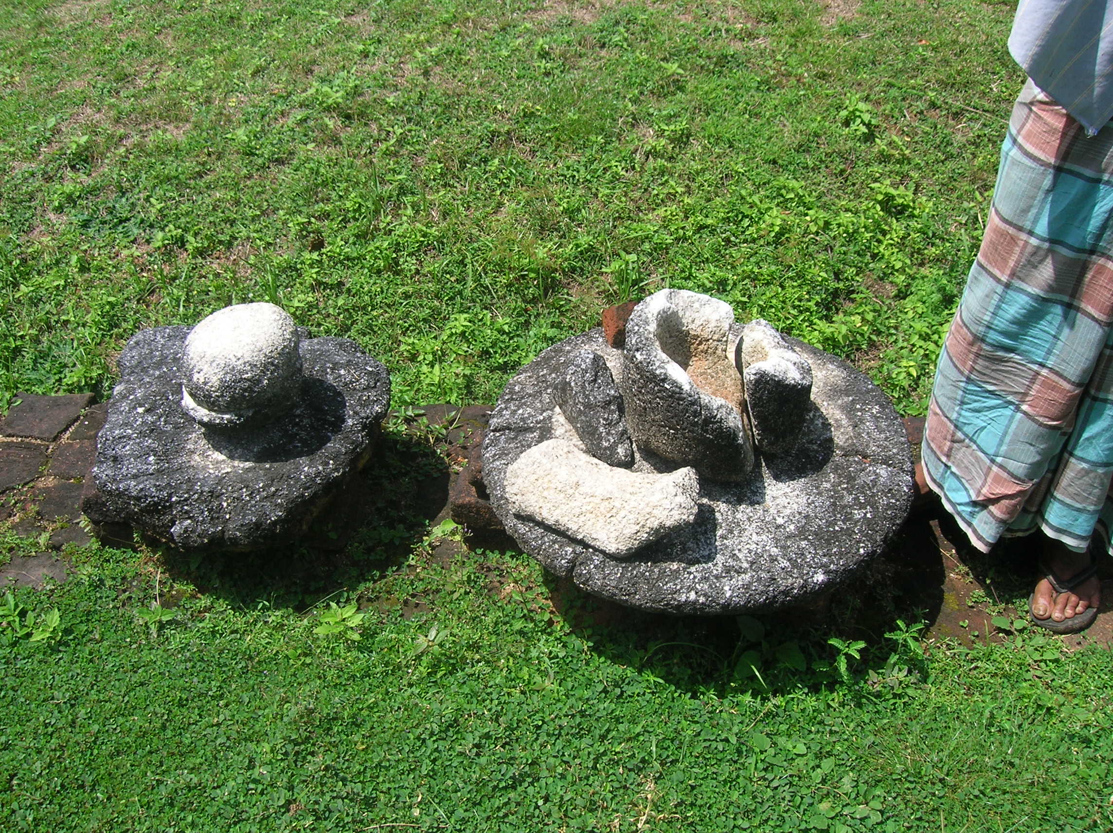
The ruins of the library building gives a fine view far into the surroundings and is also where a 2nd stone bridge can be seen. The ruins includes the remains of a herbal spa with a oil bath, massage bed and plumbing which can is akin to what we use today.

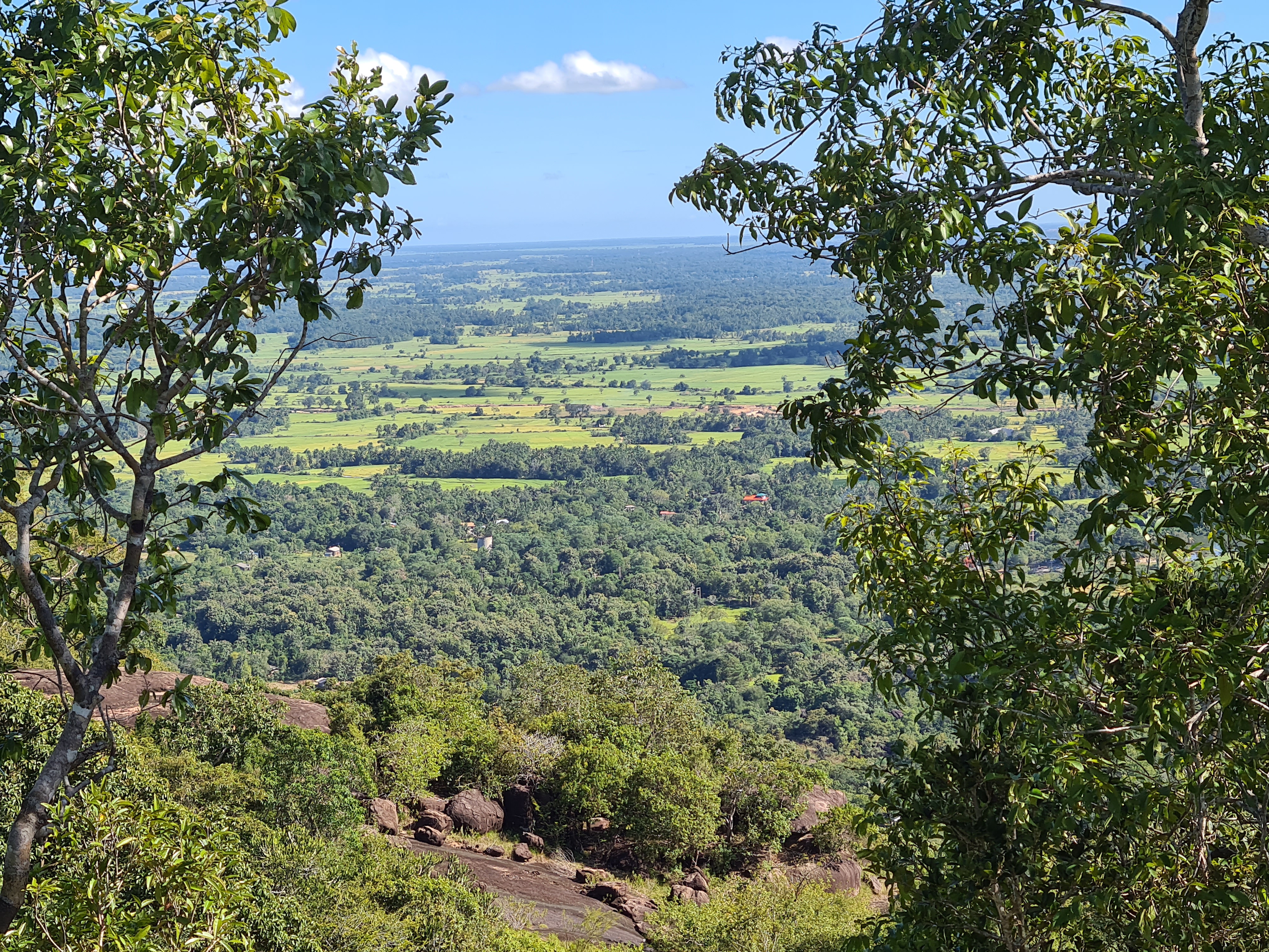
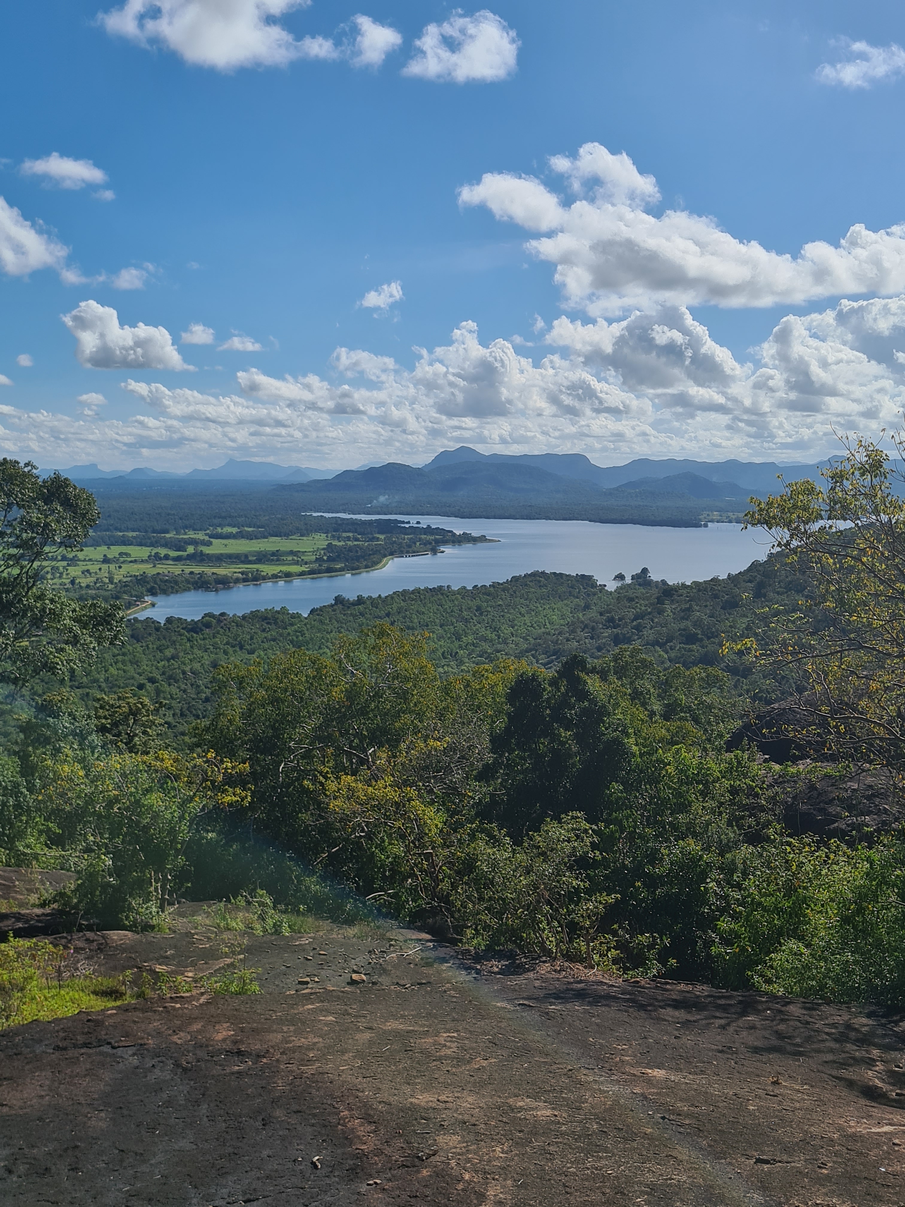
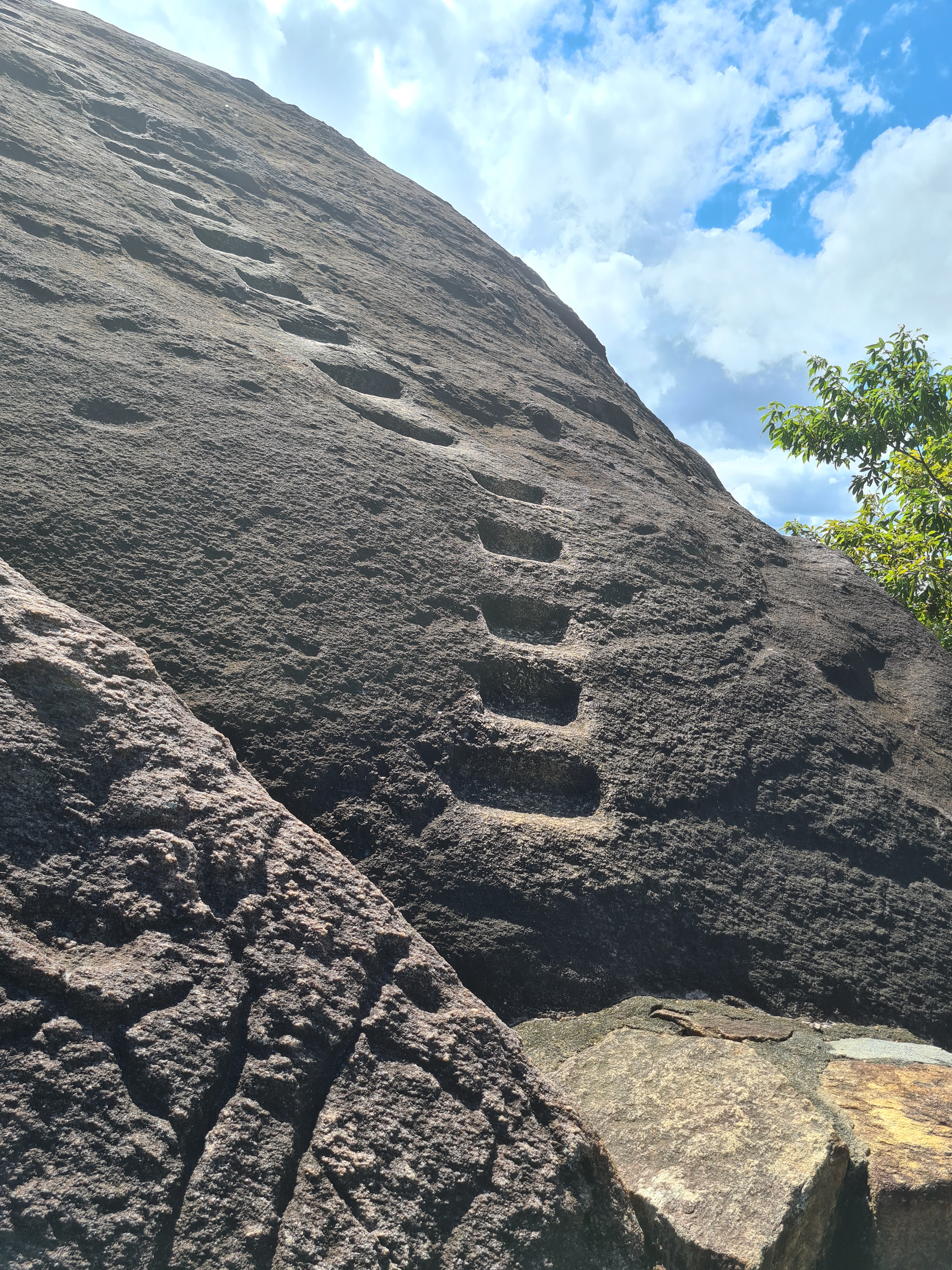
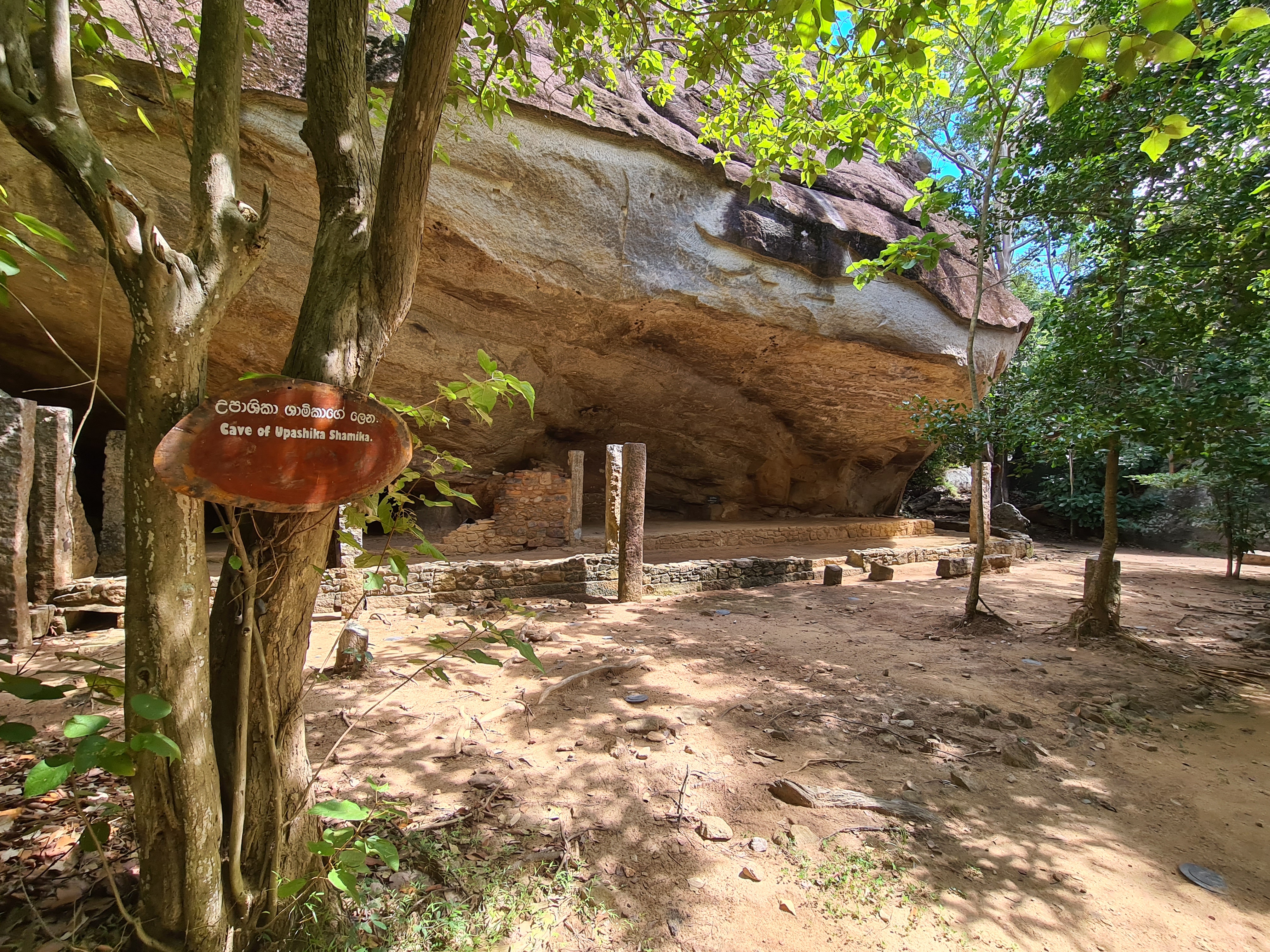
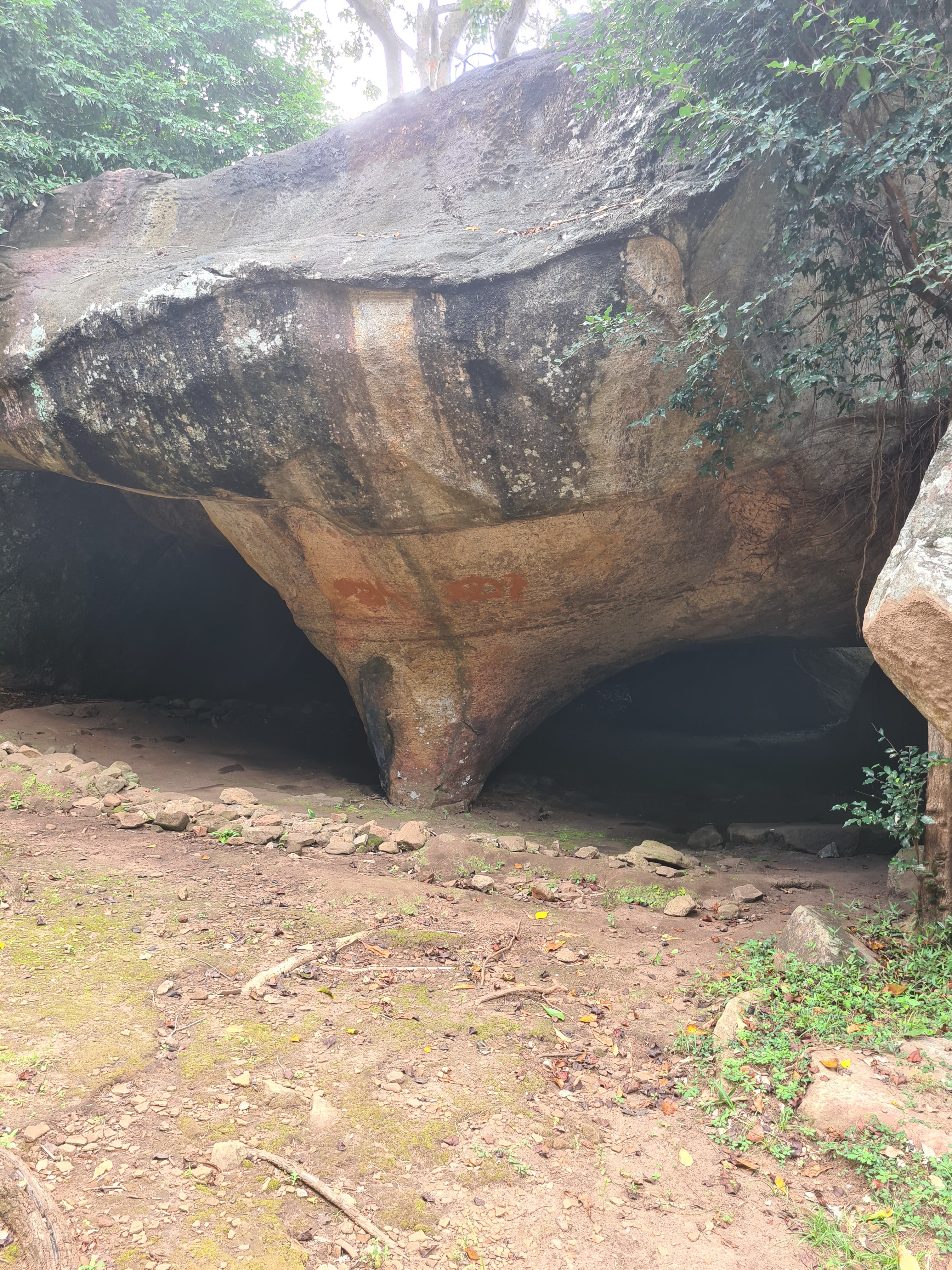
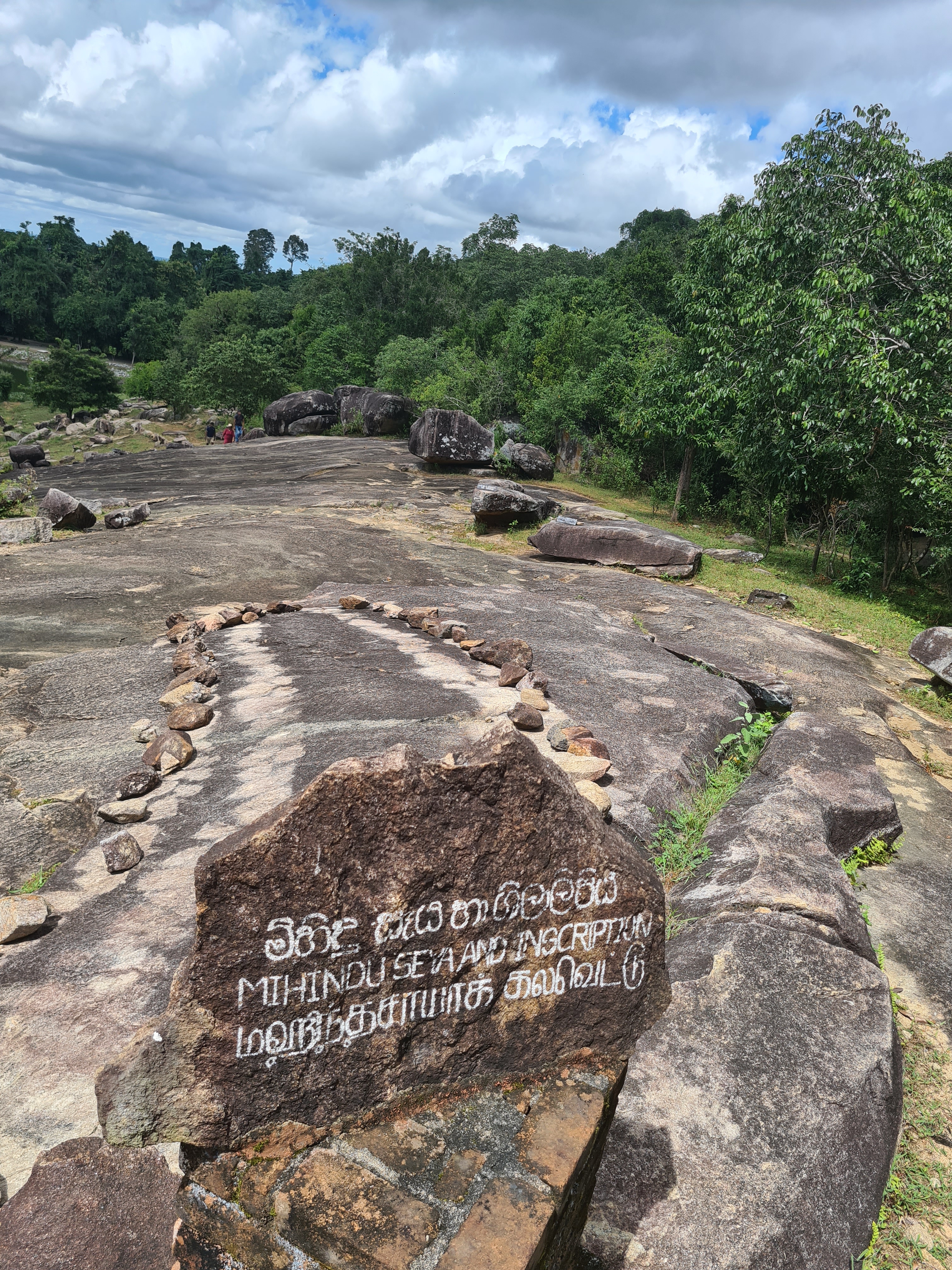
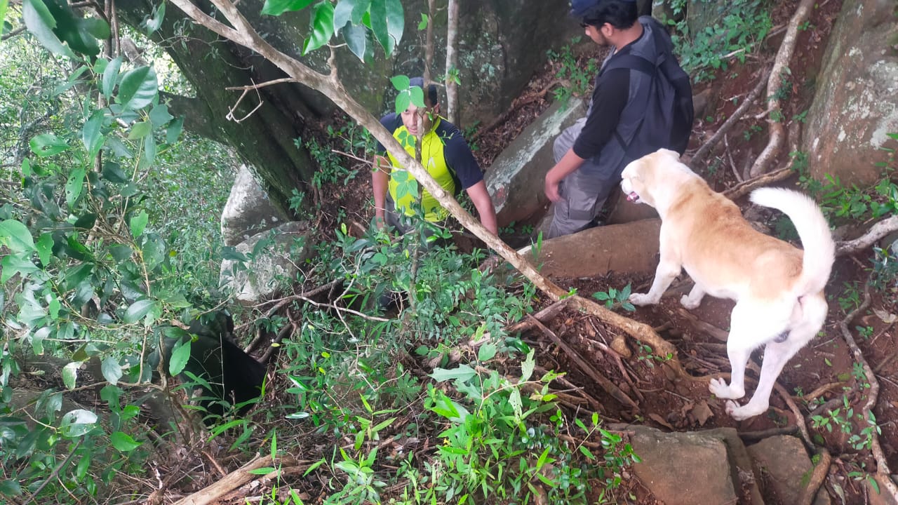
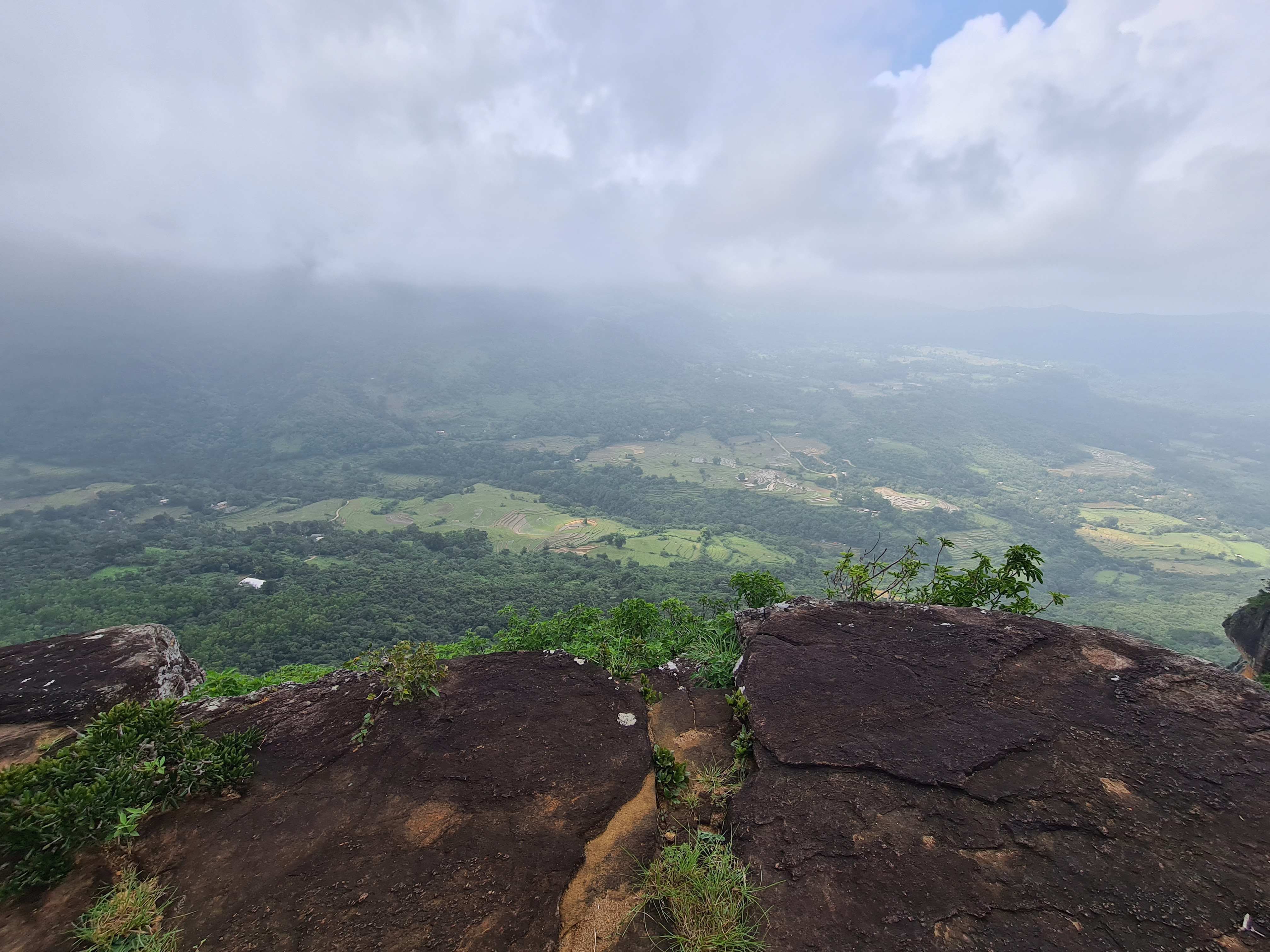
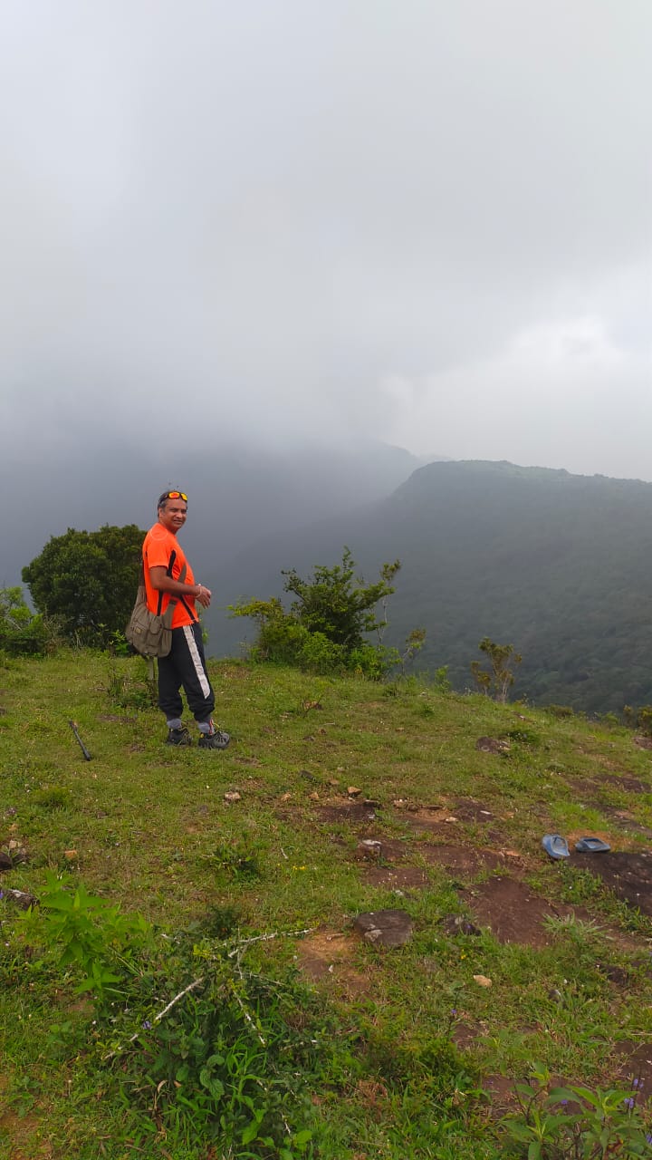
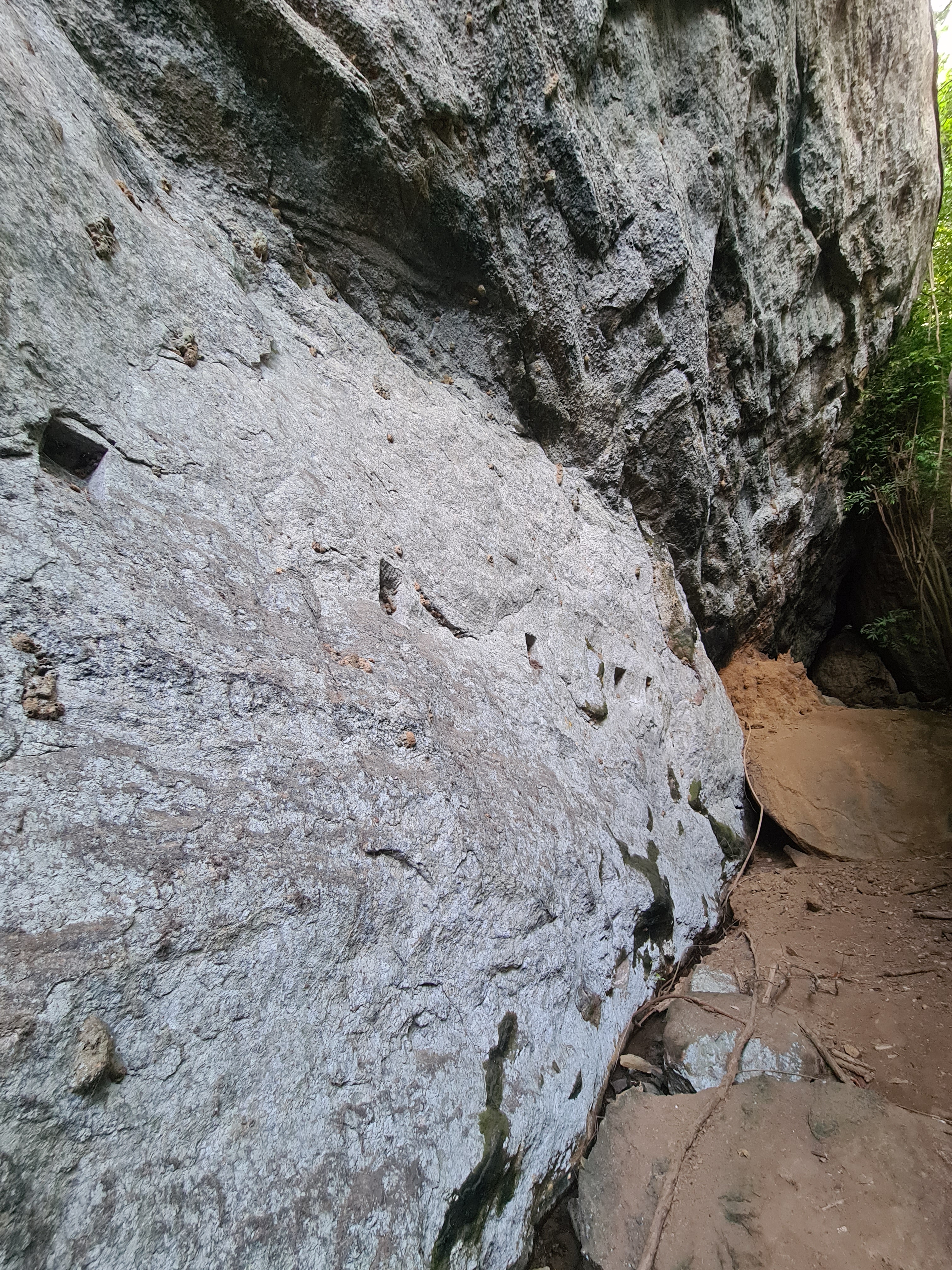
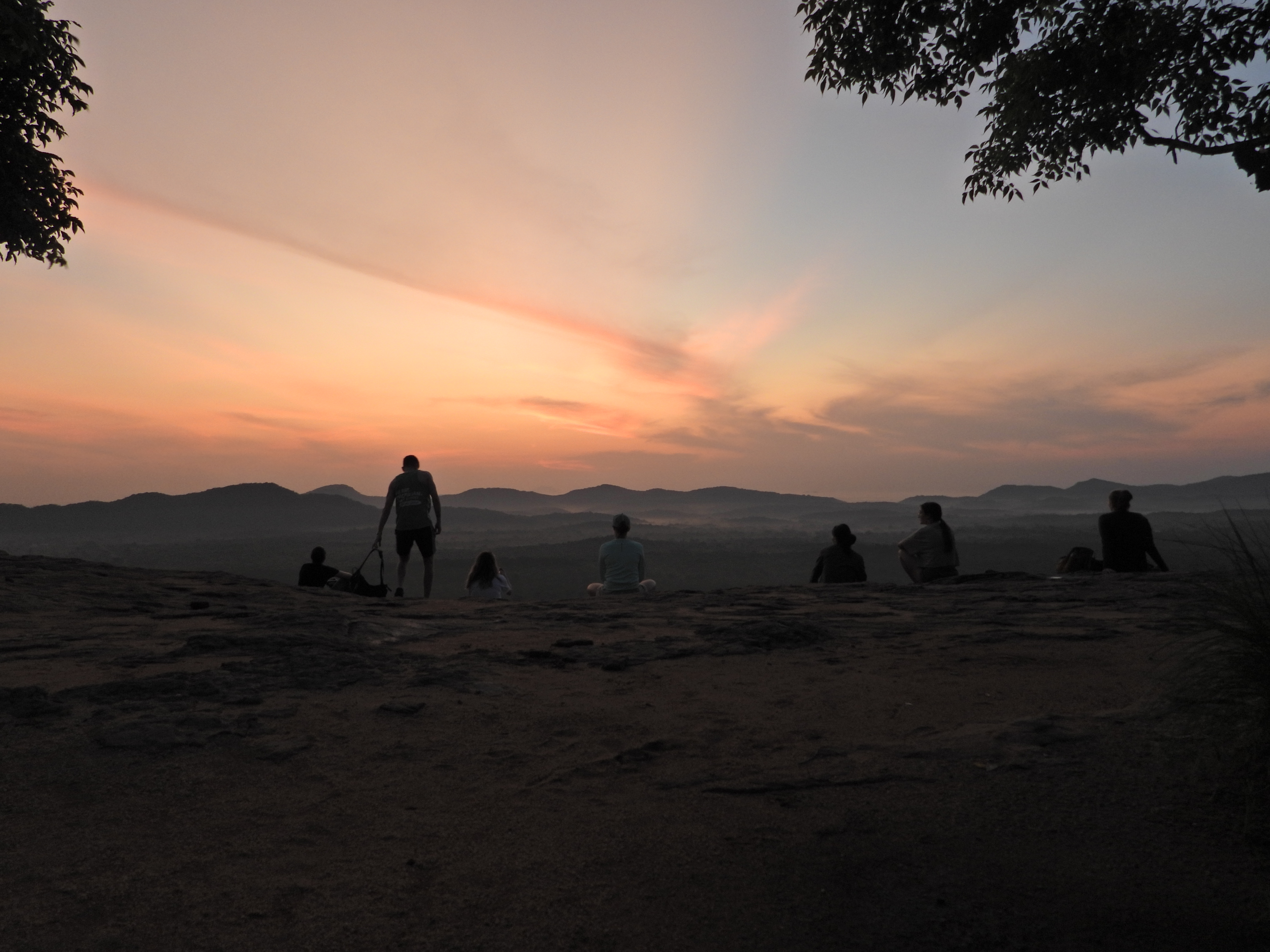
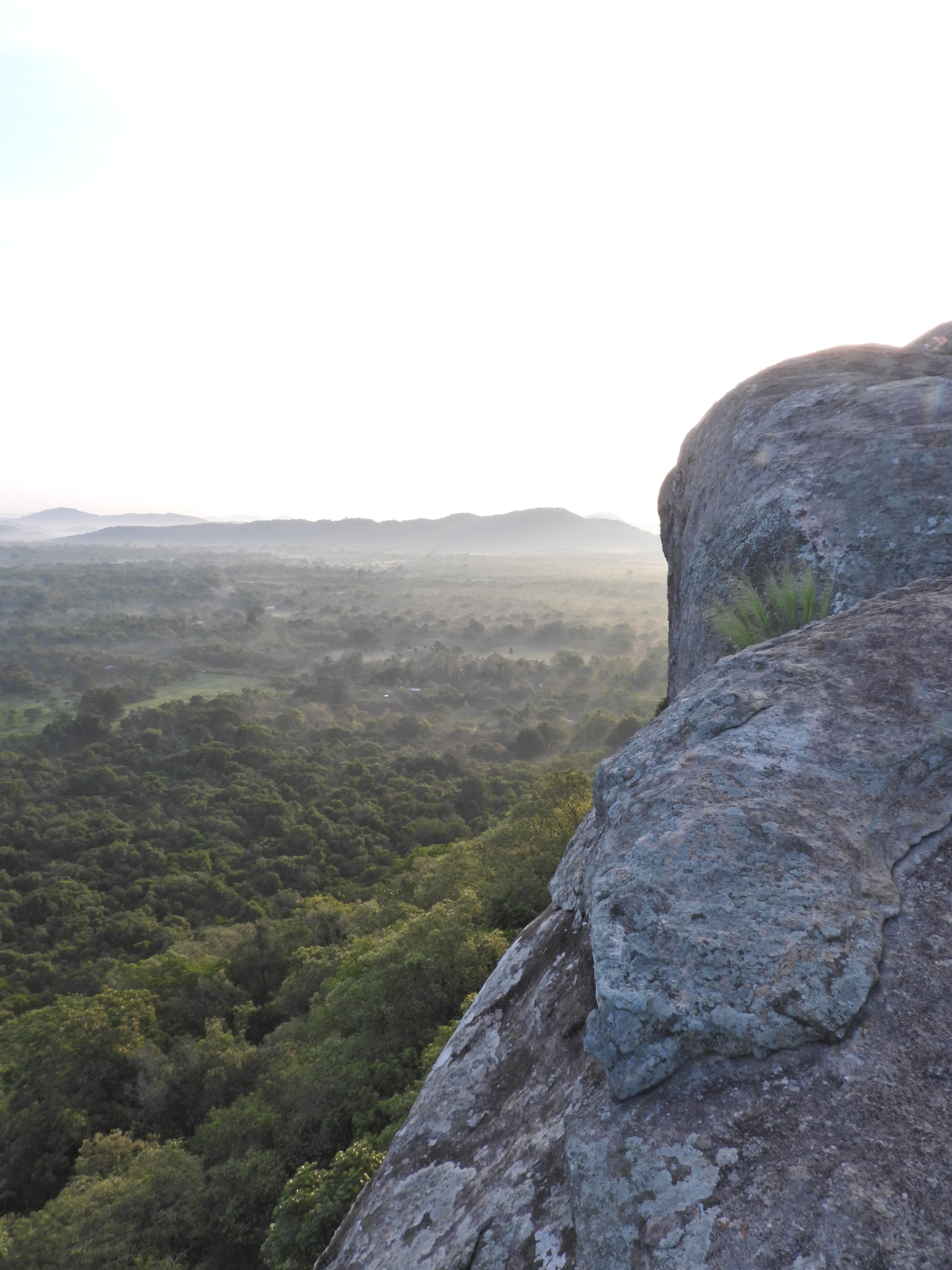
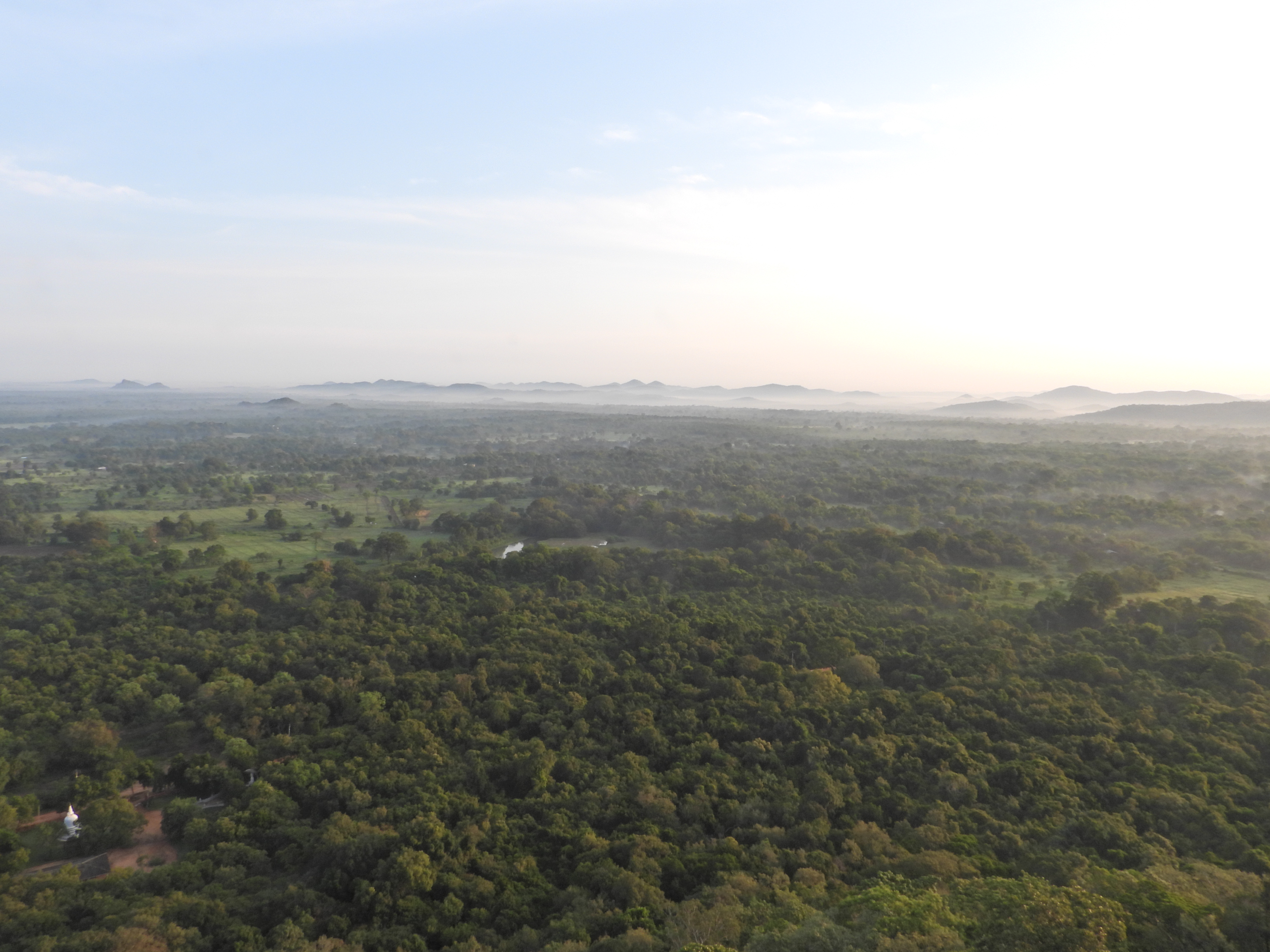
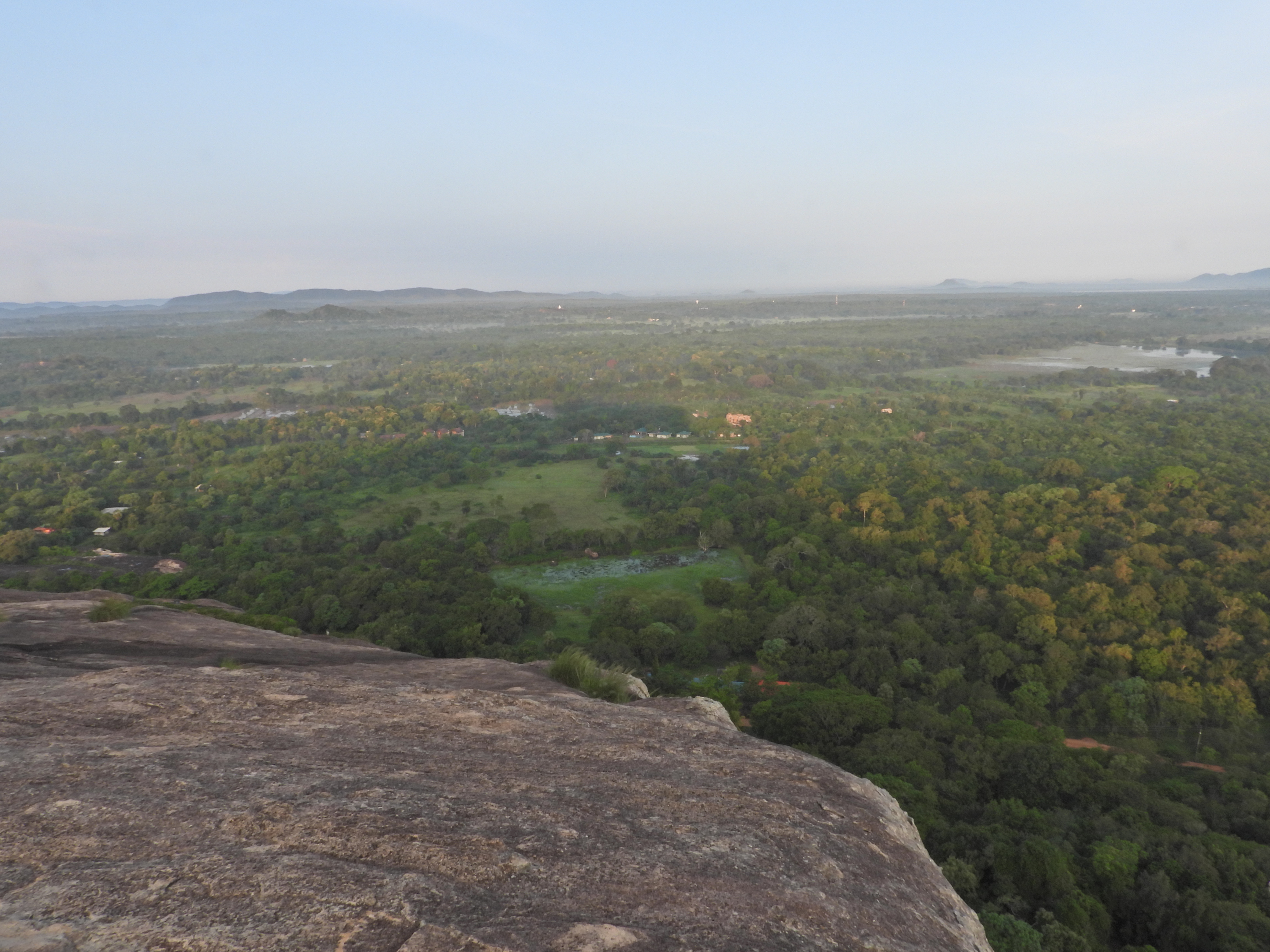
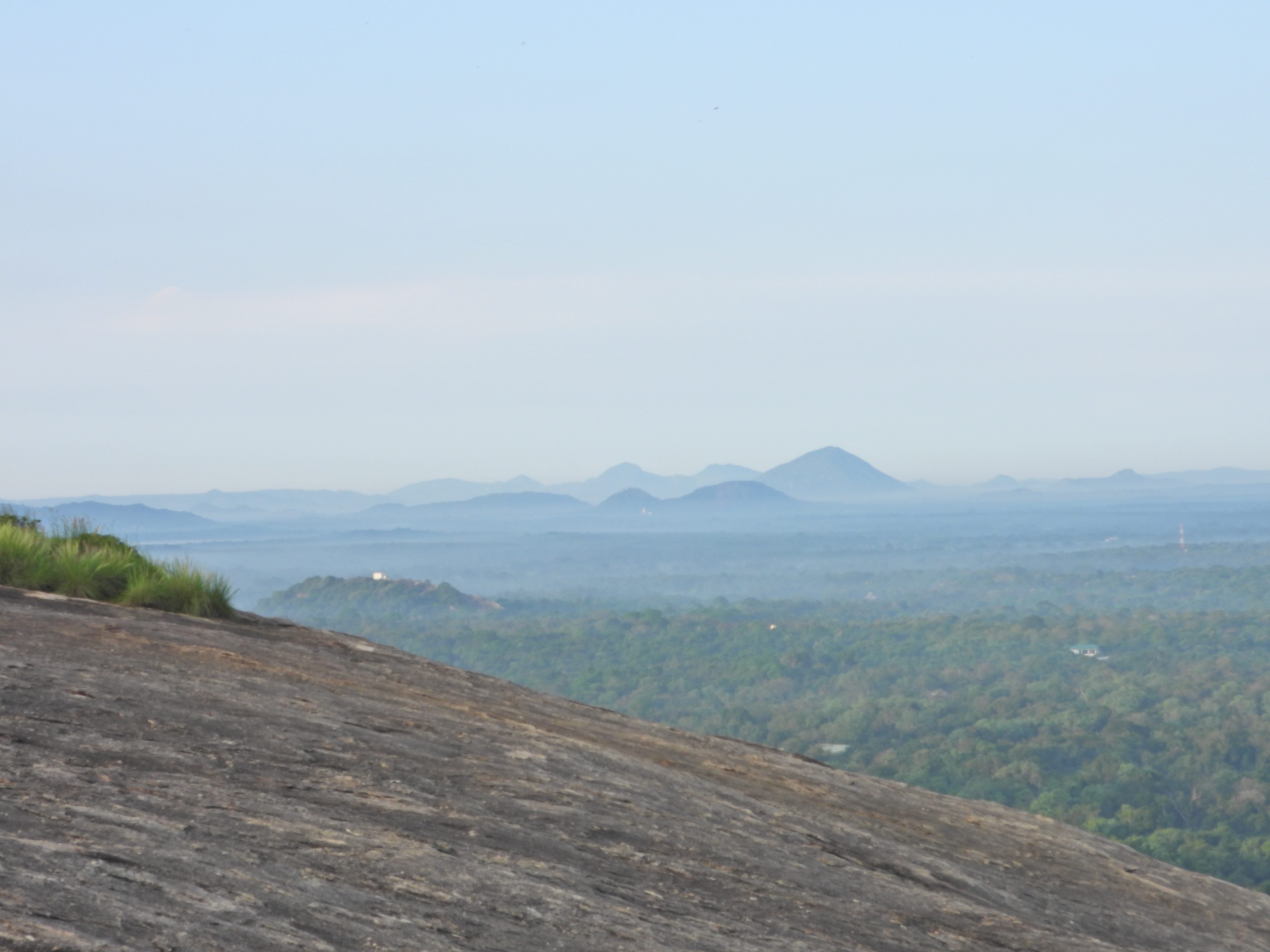
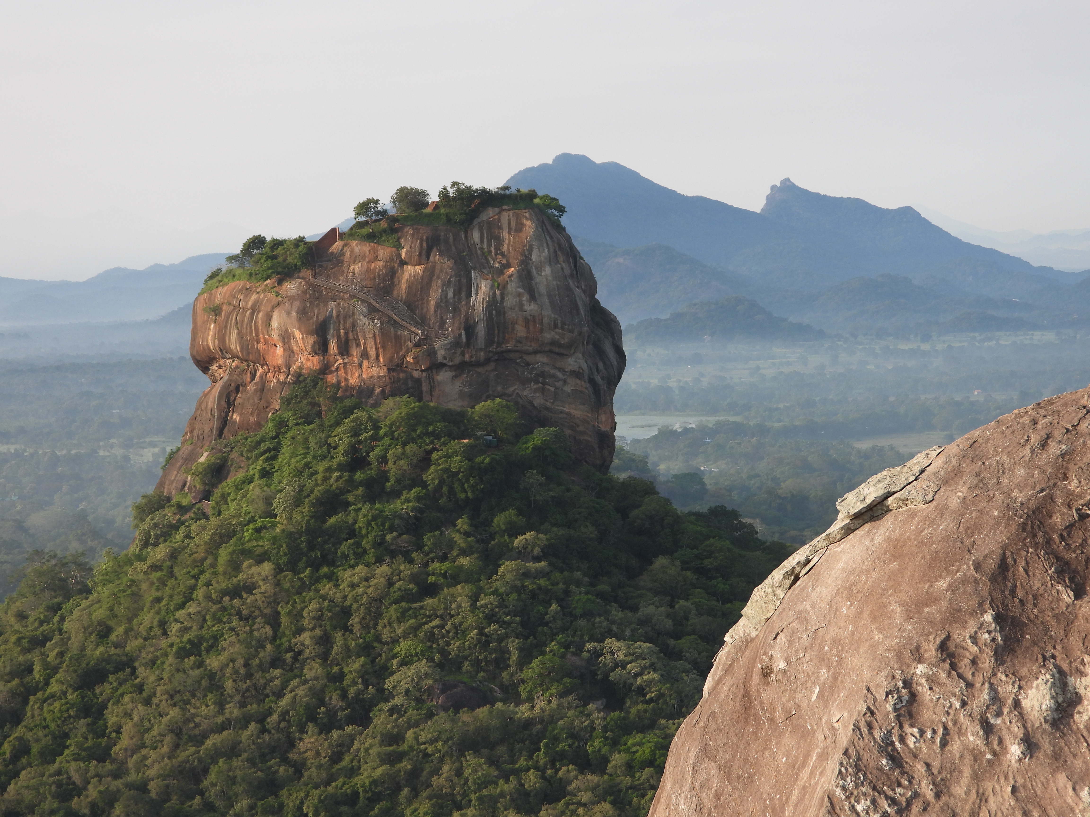
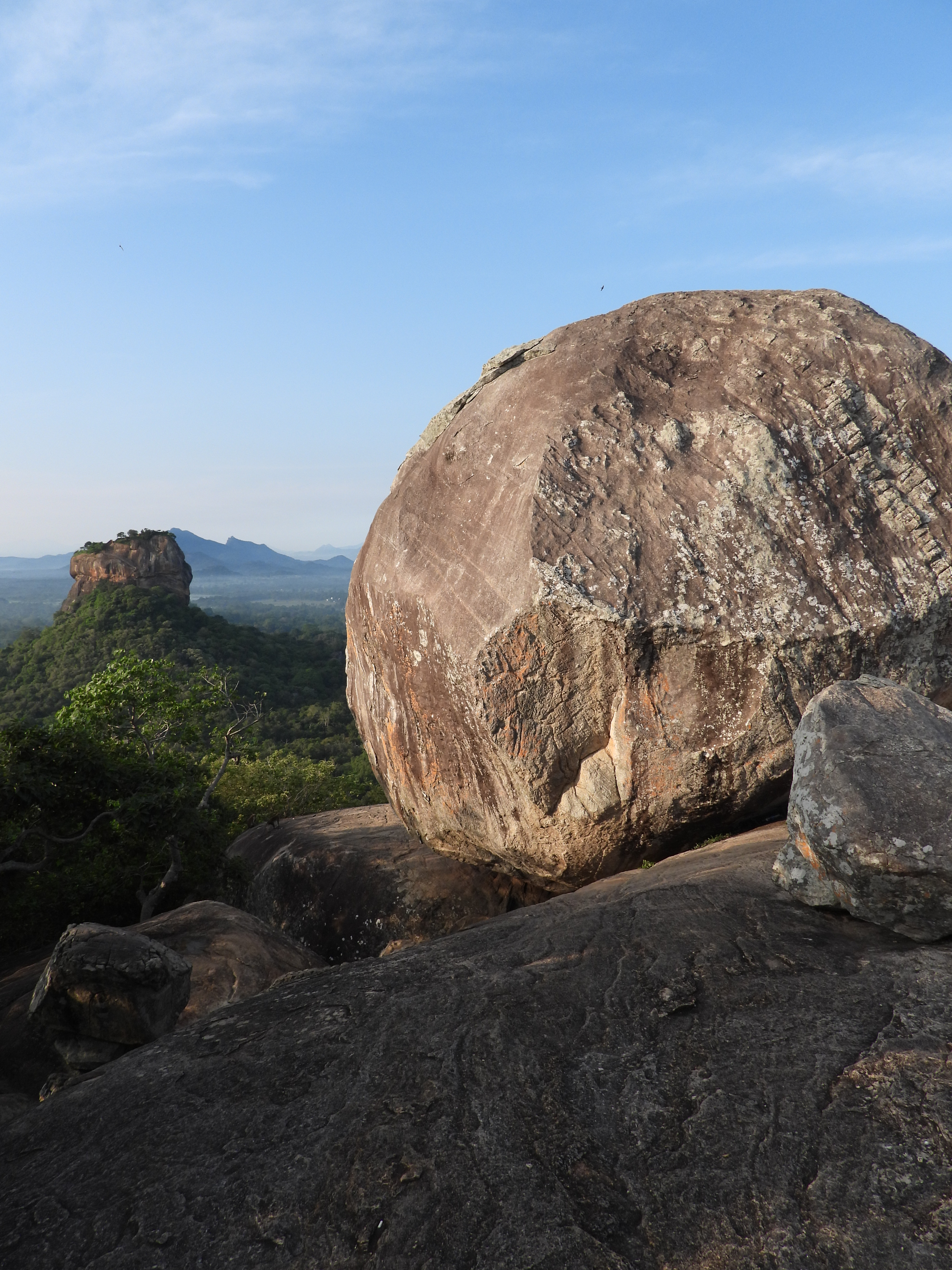
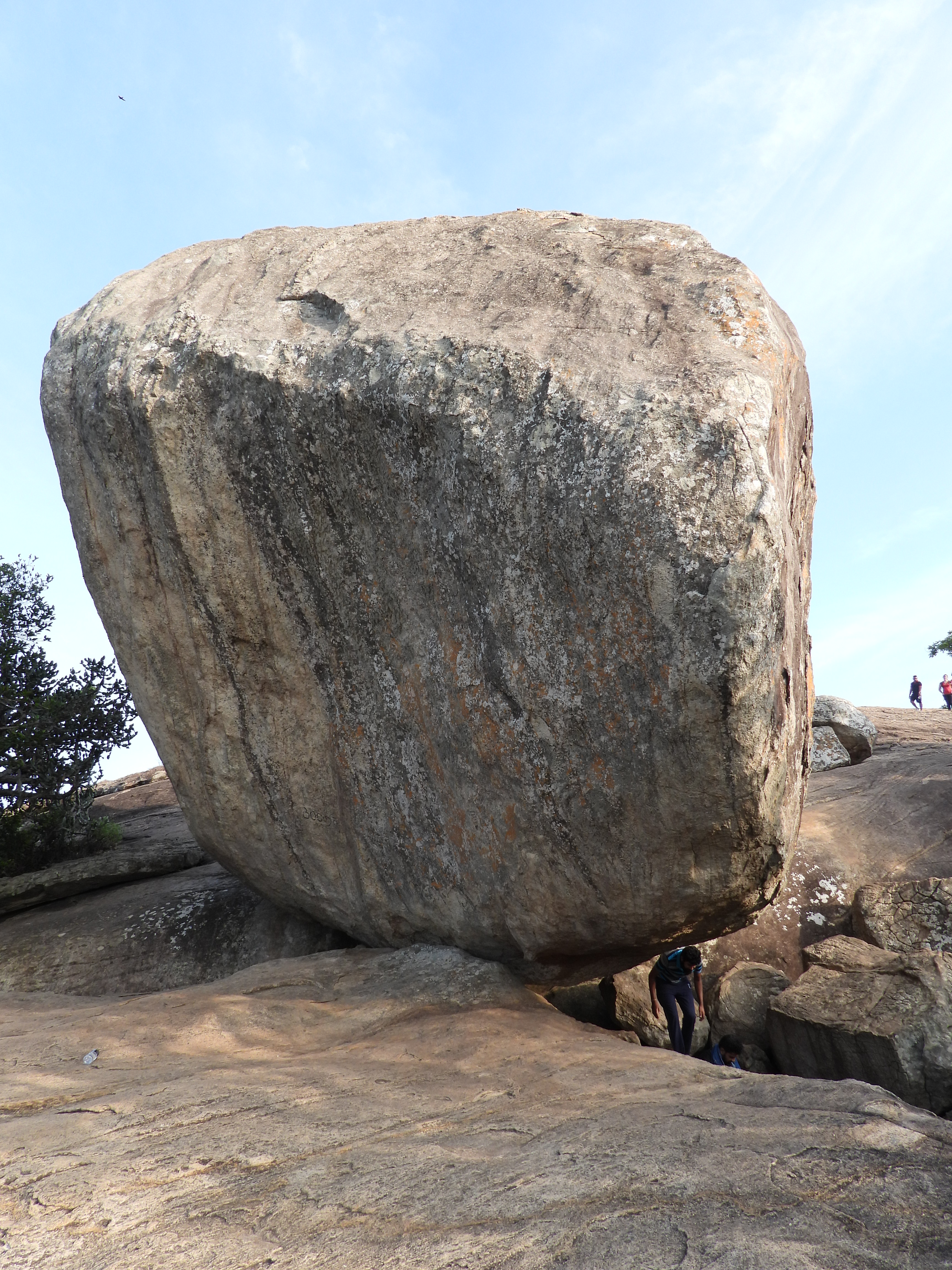
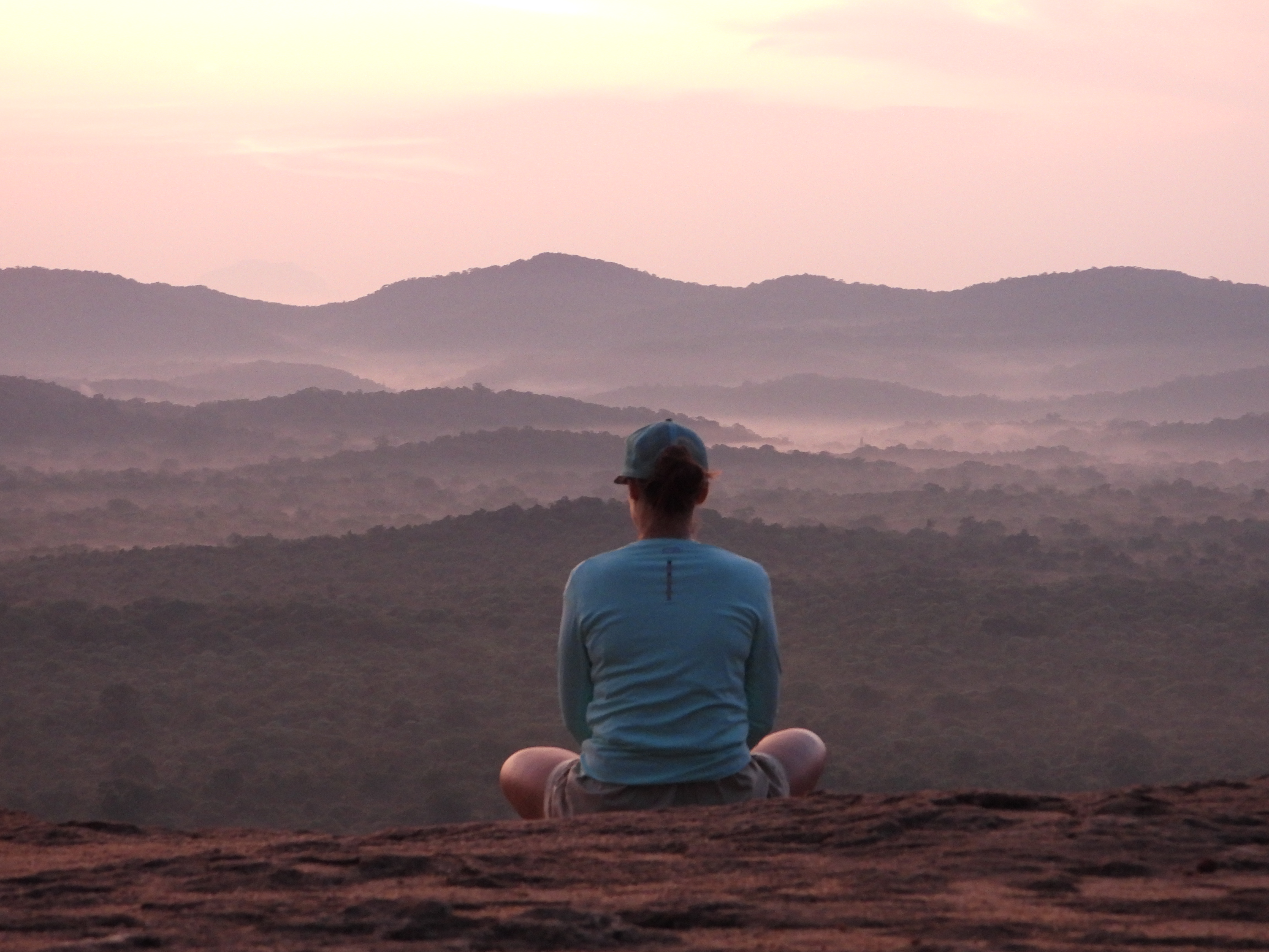
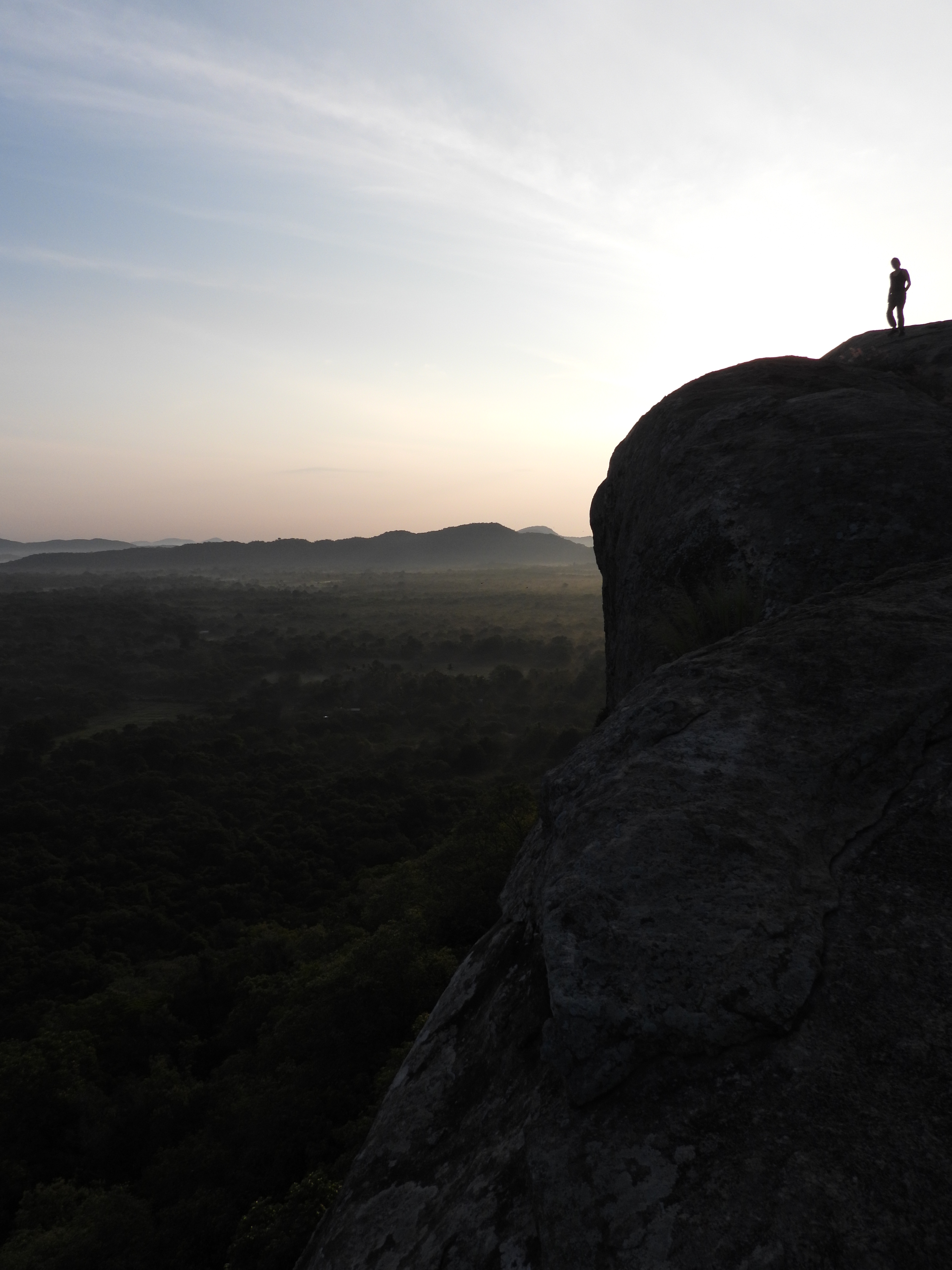
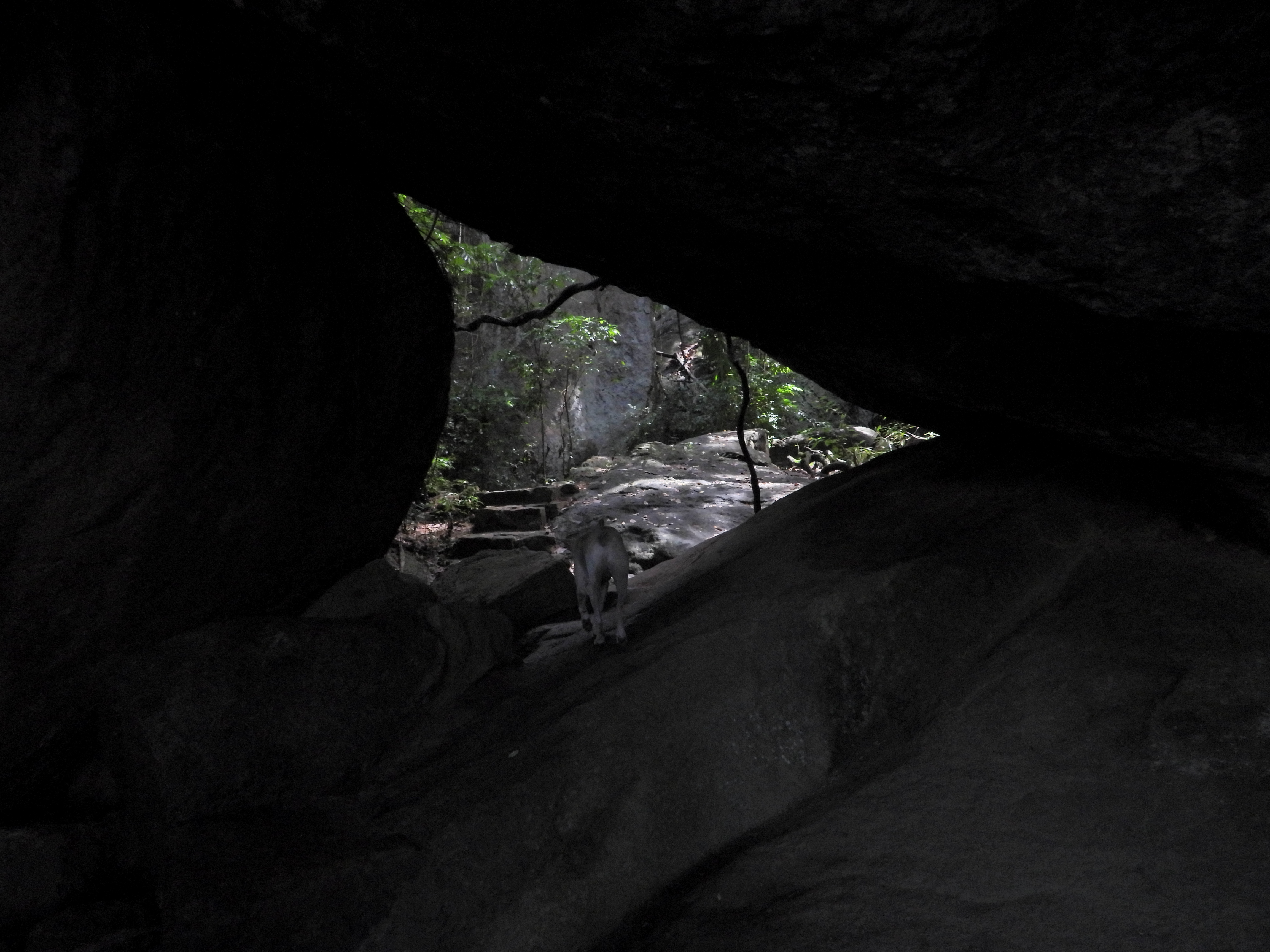
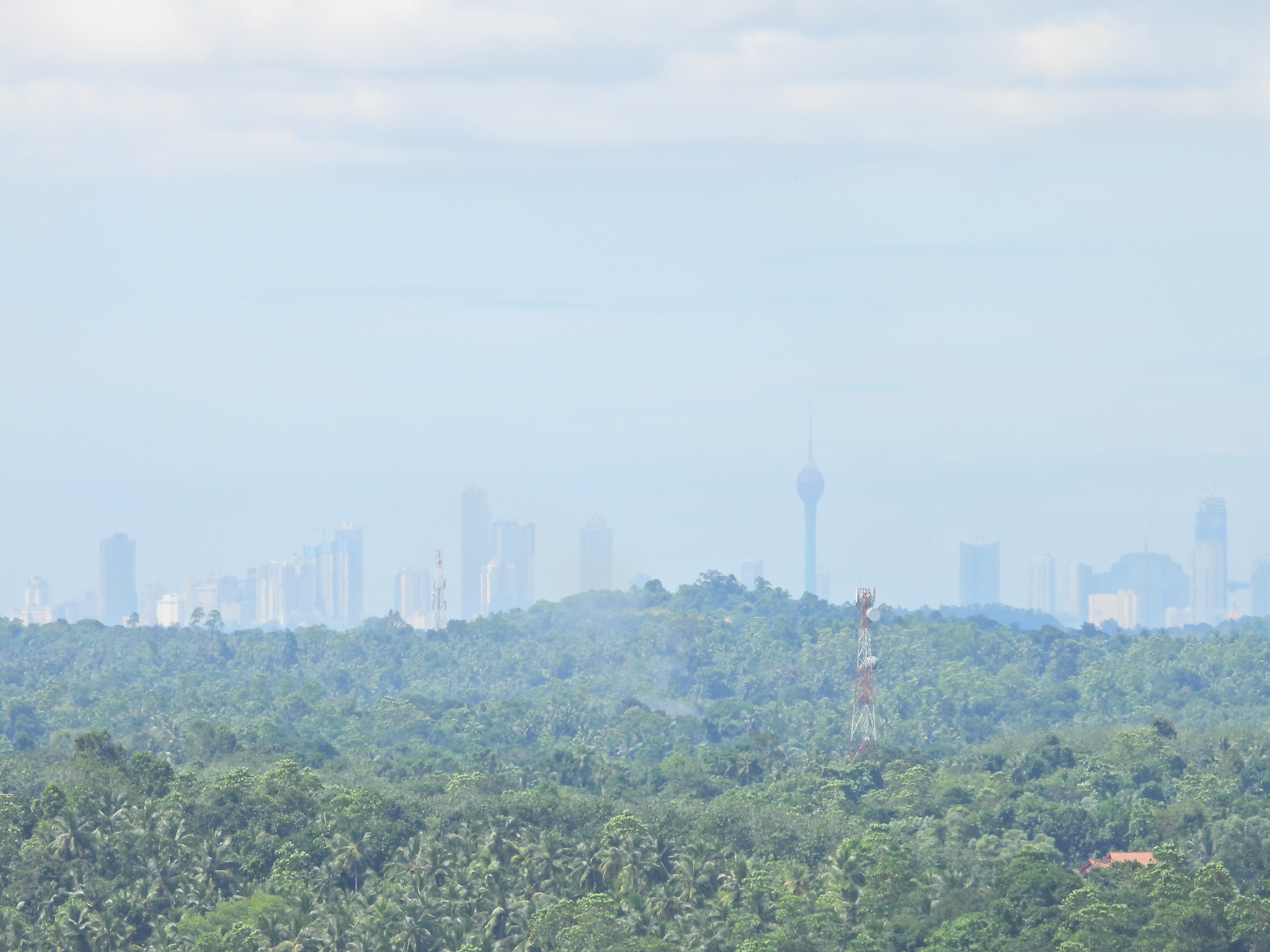
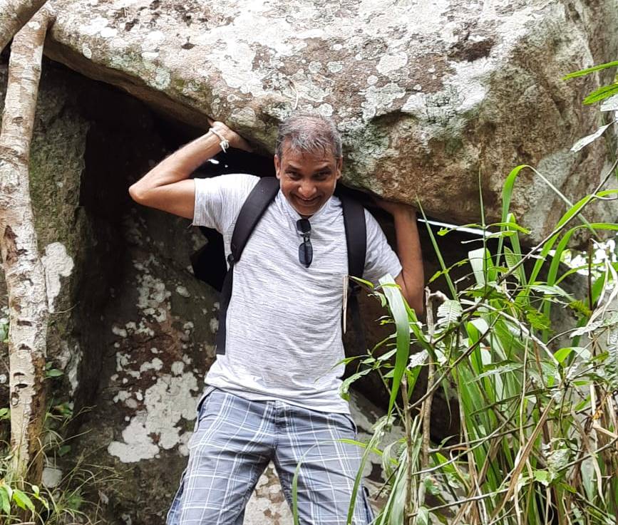
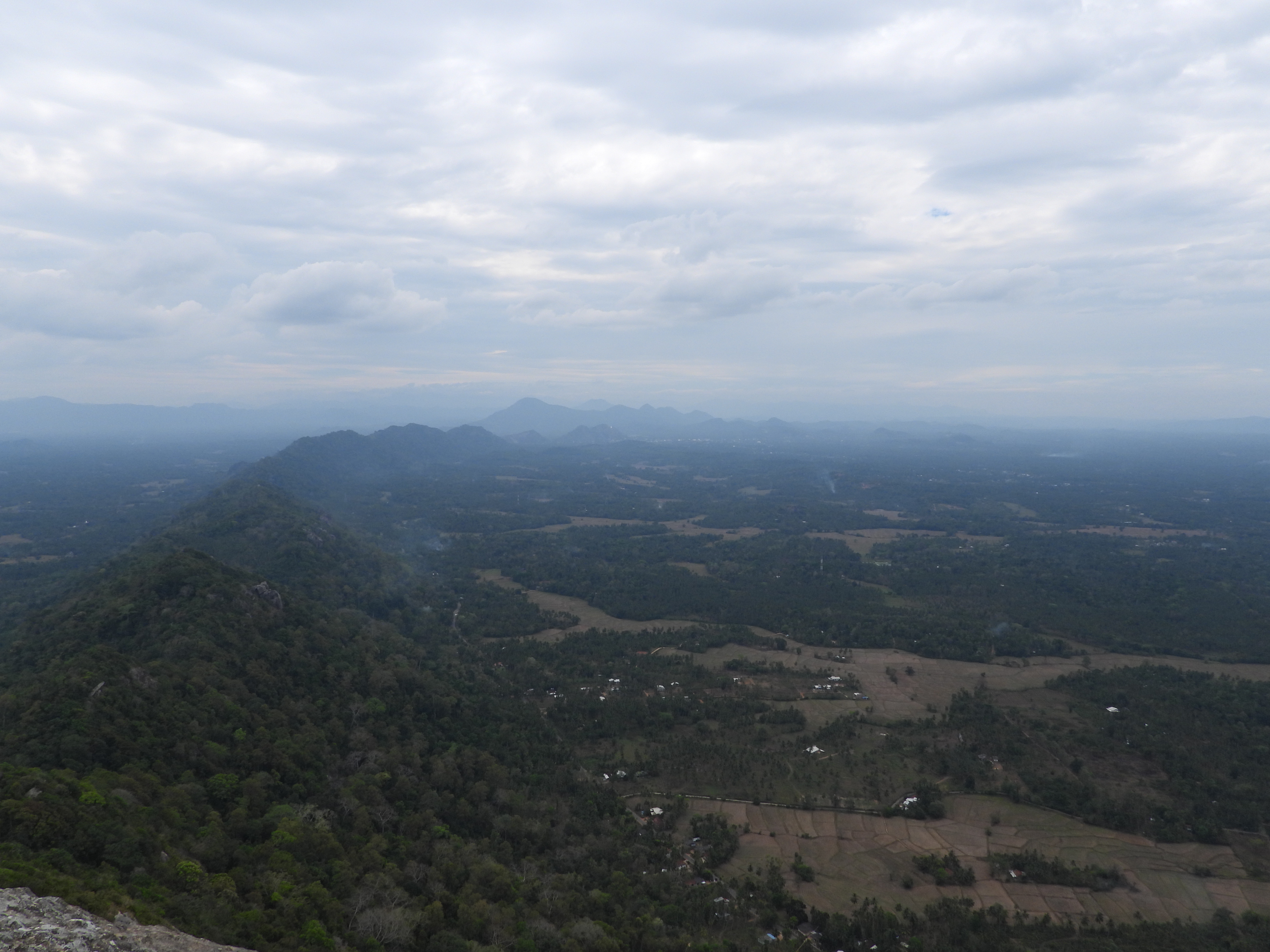
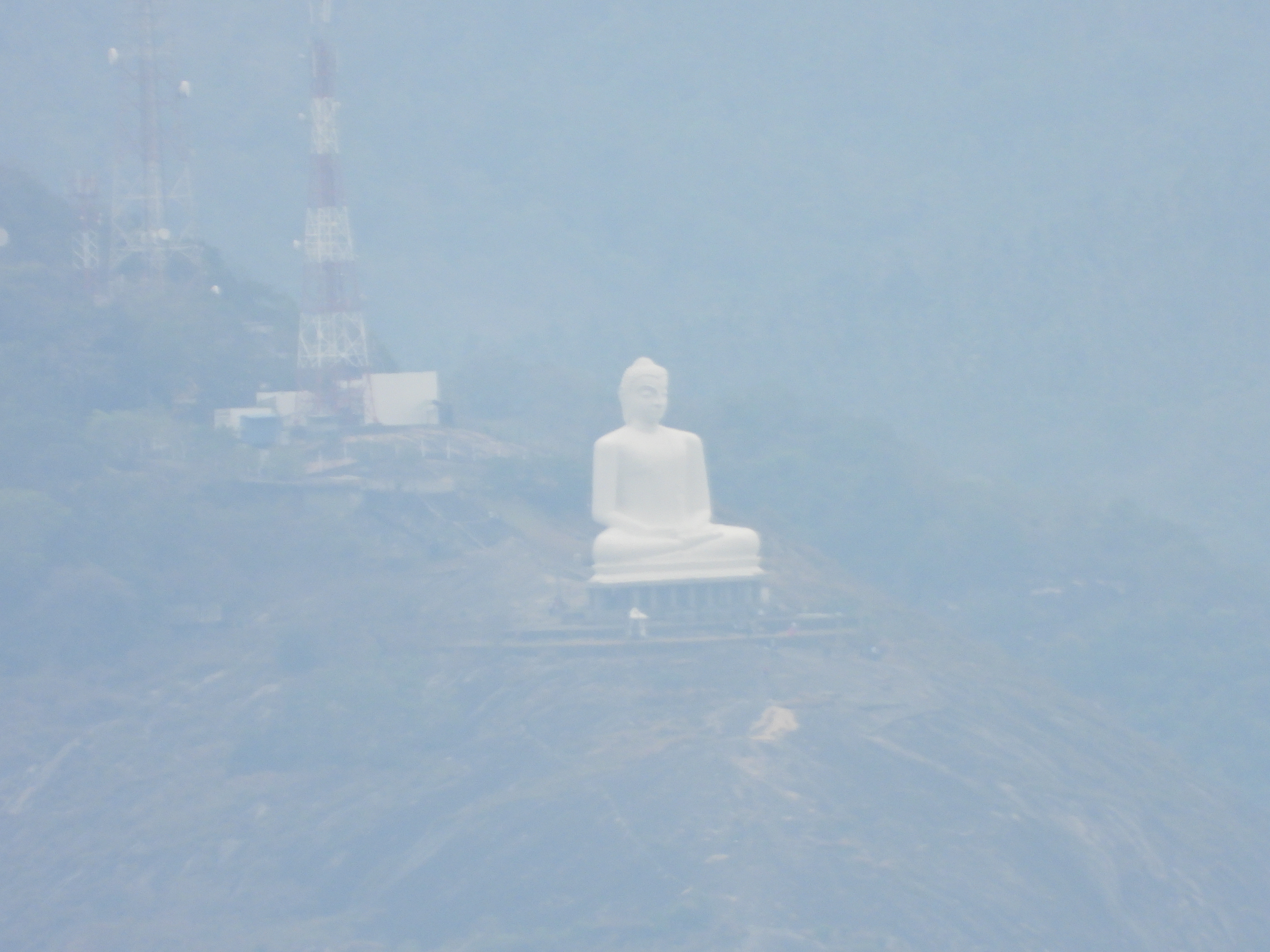
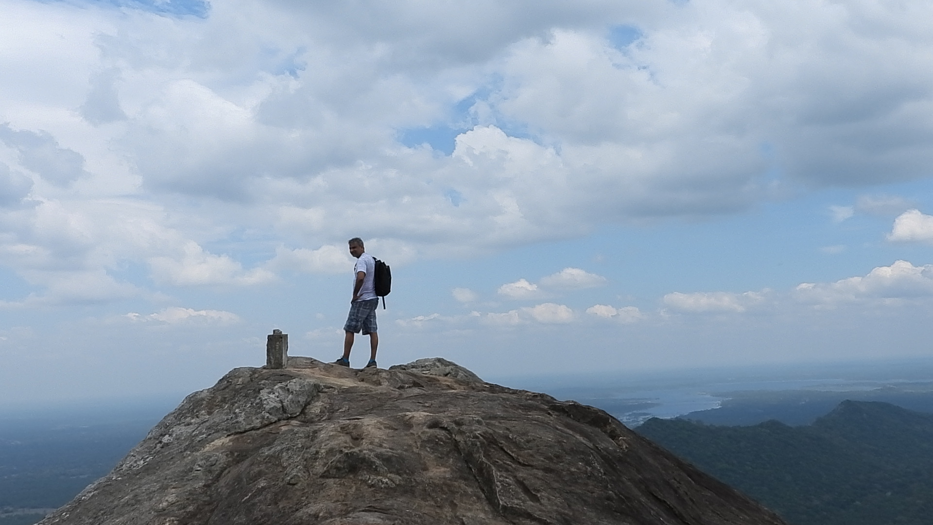
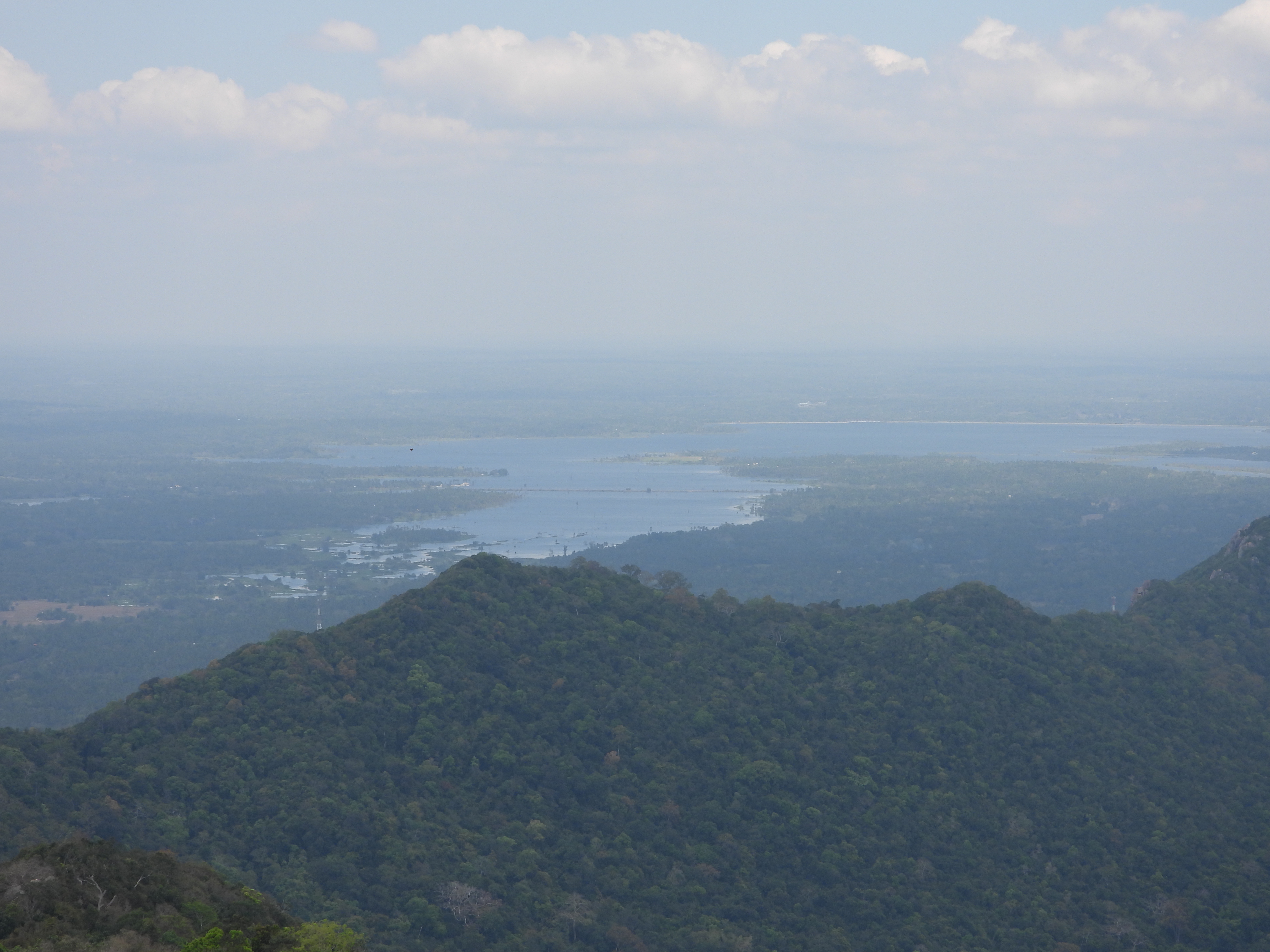
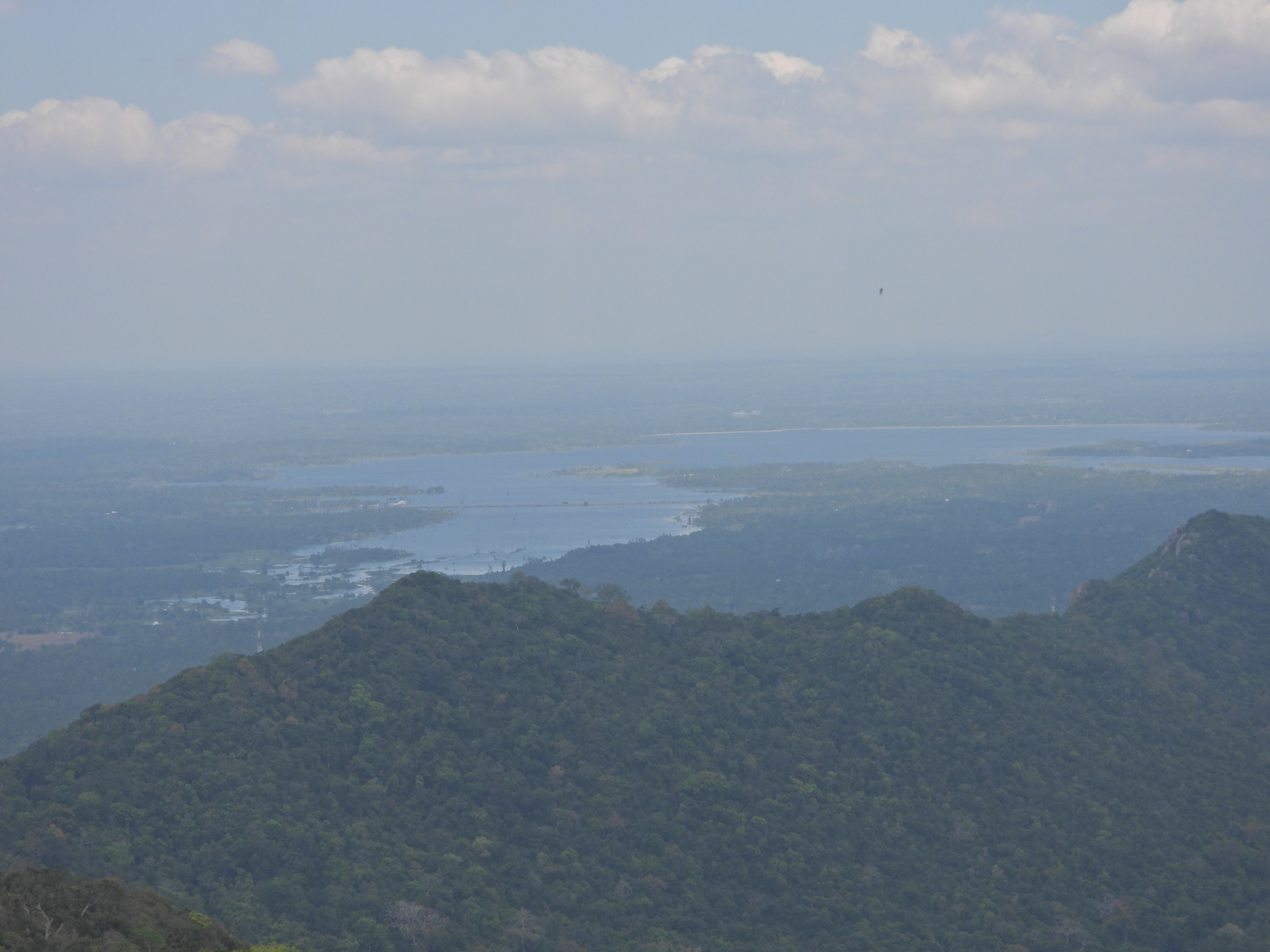
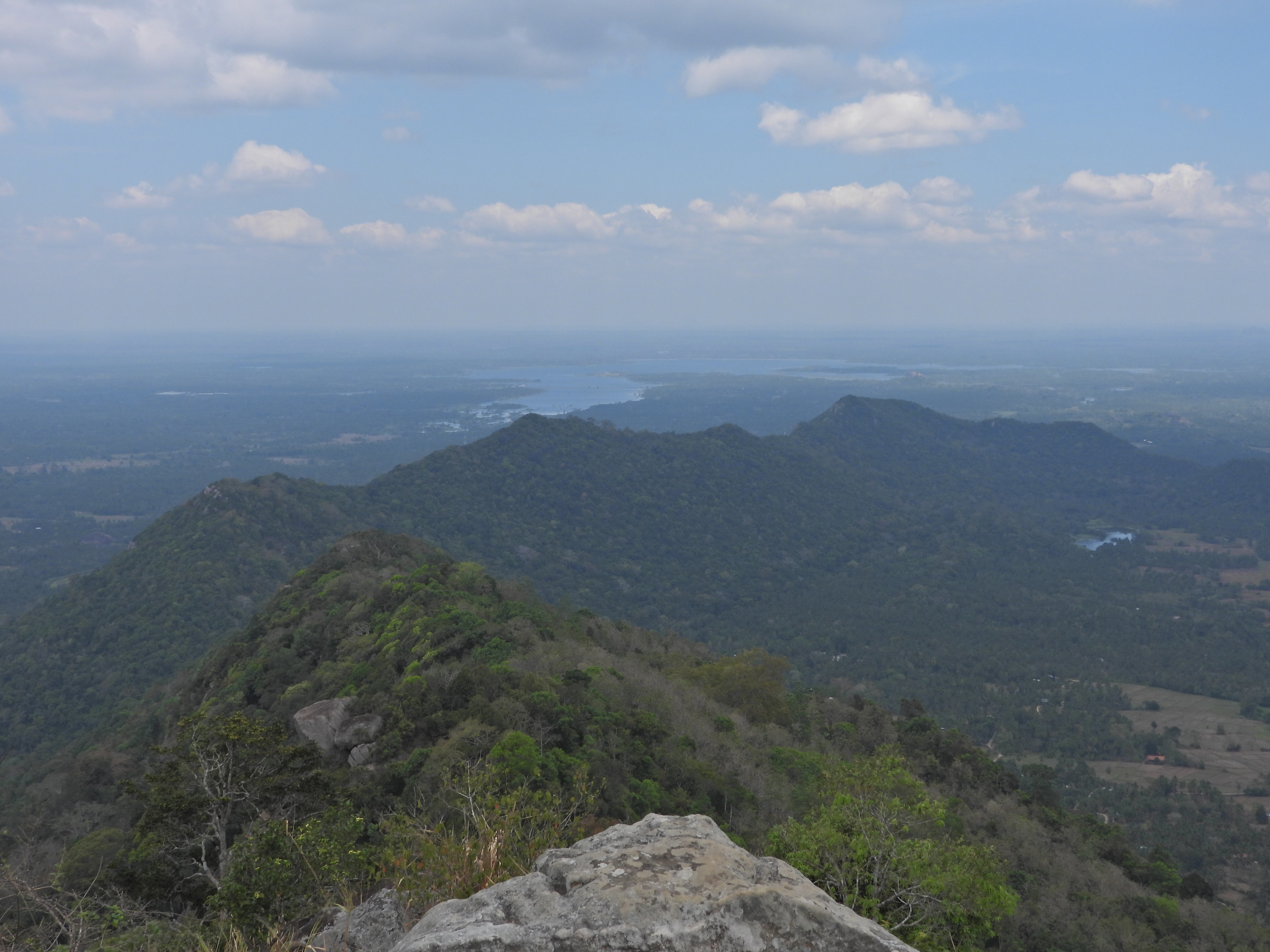
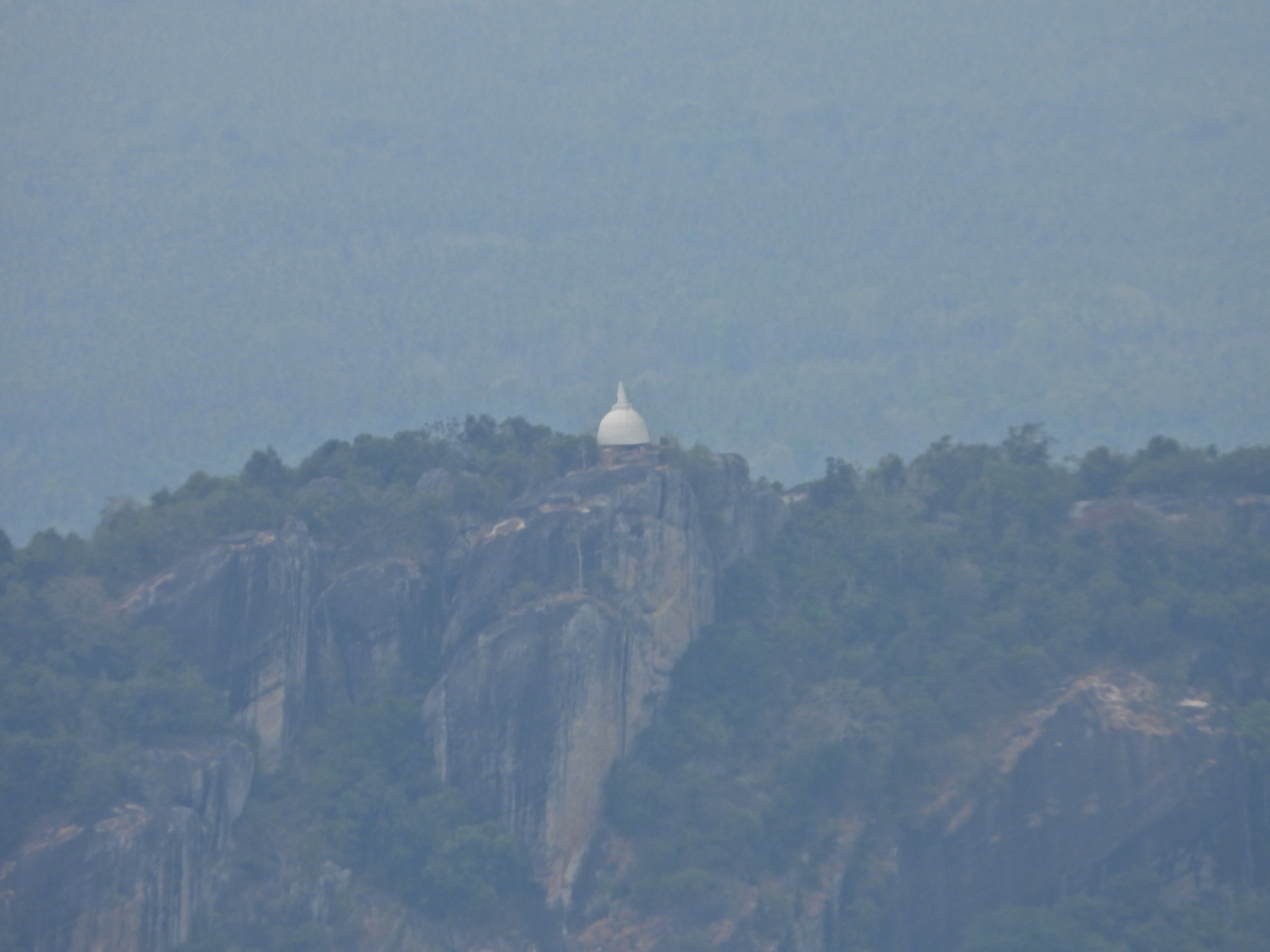
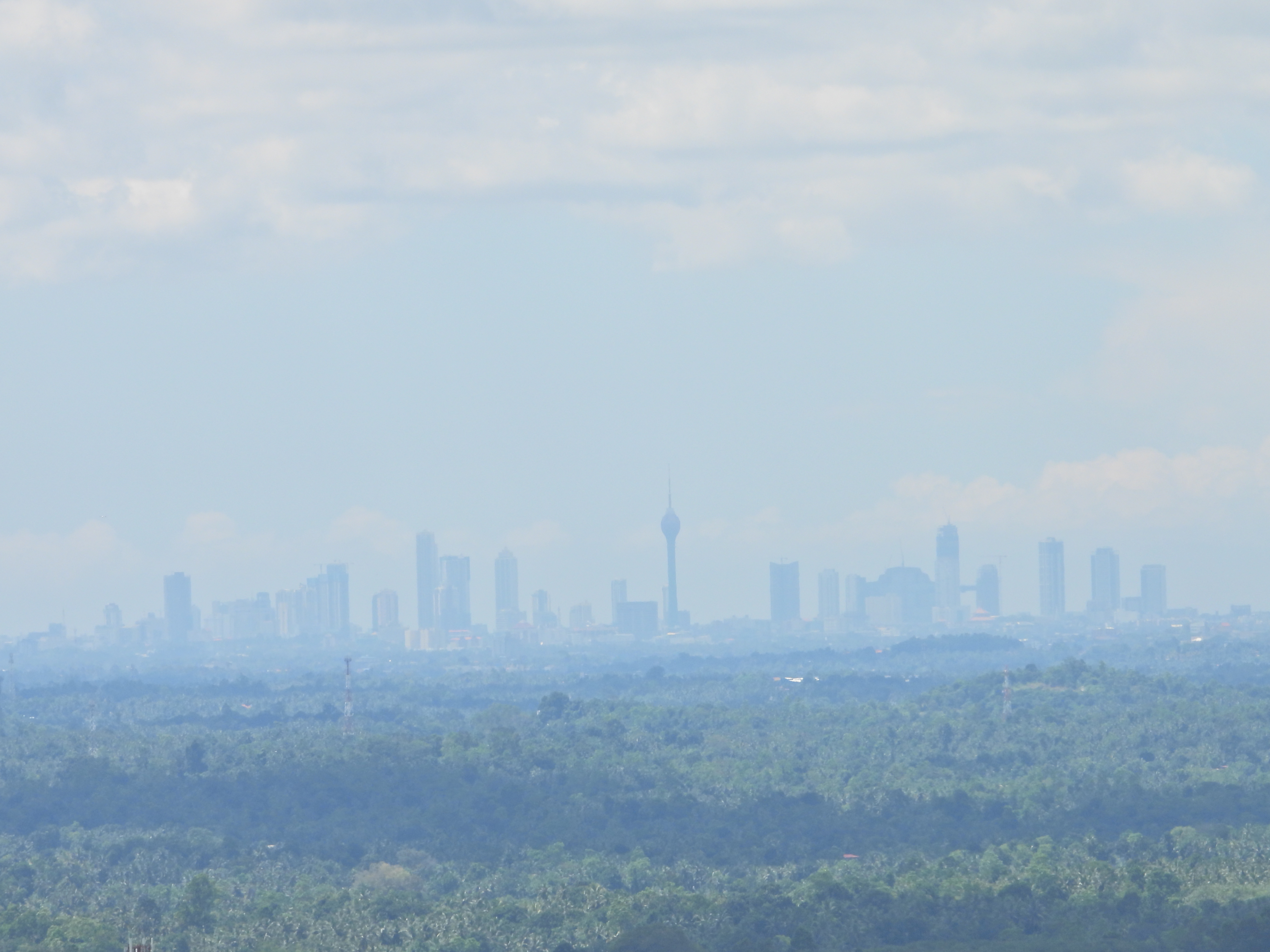
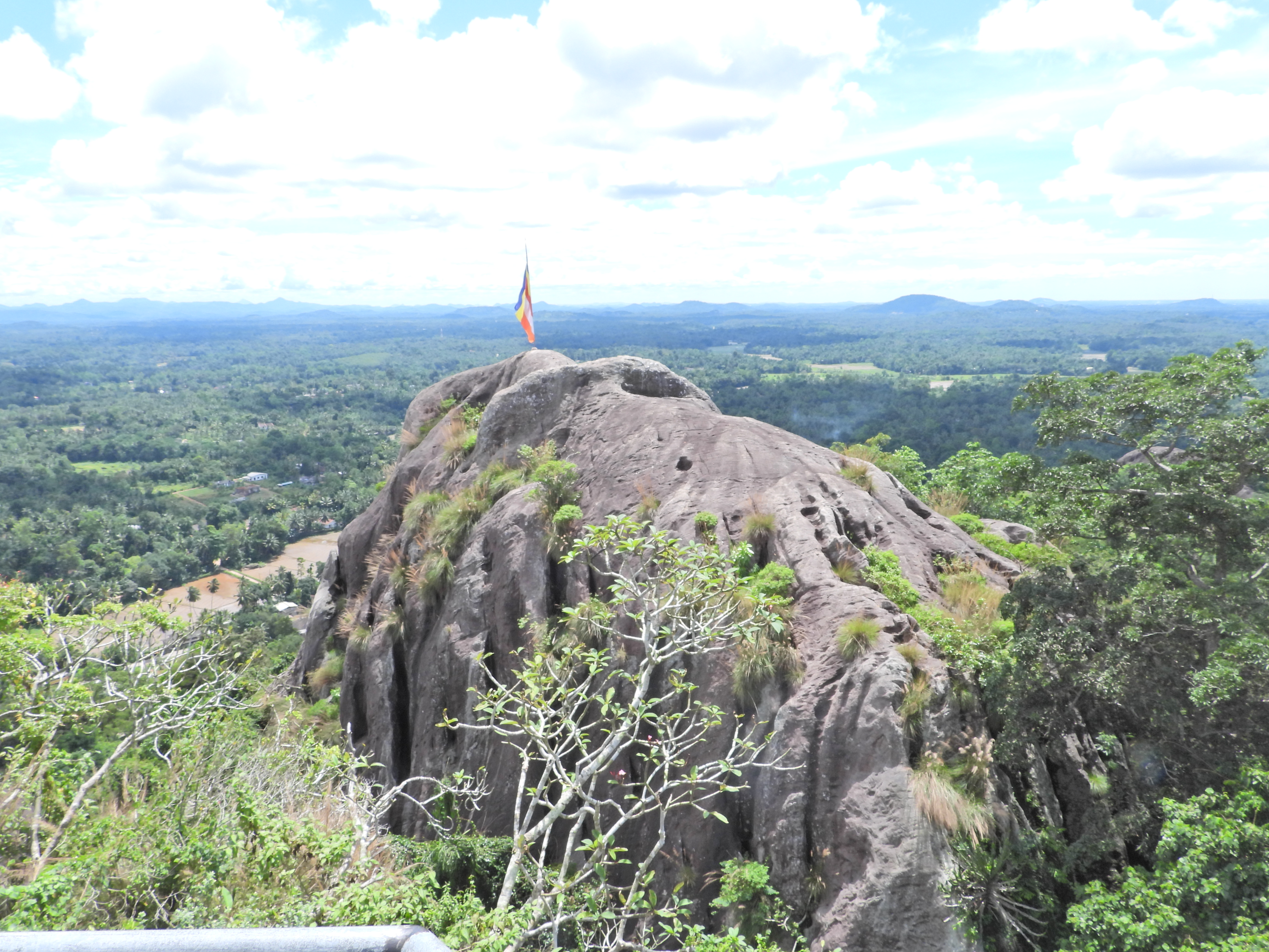
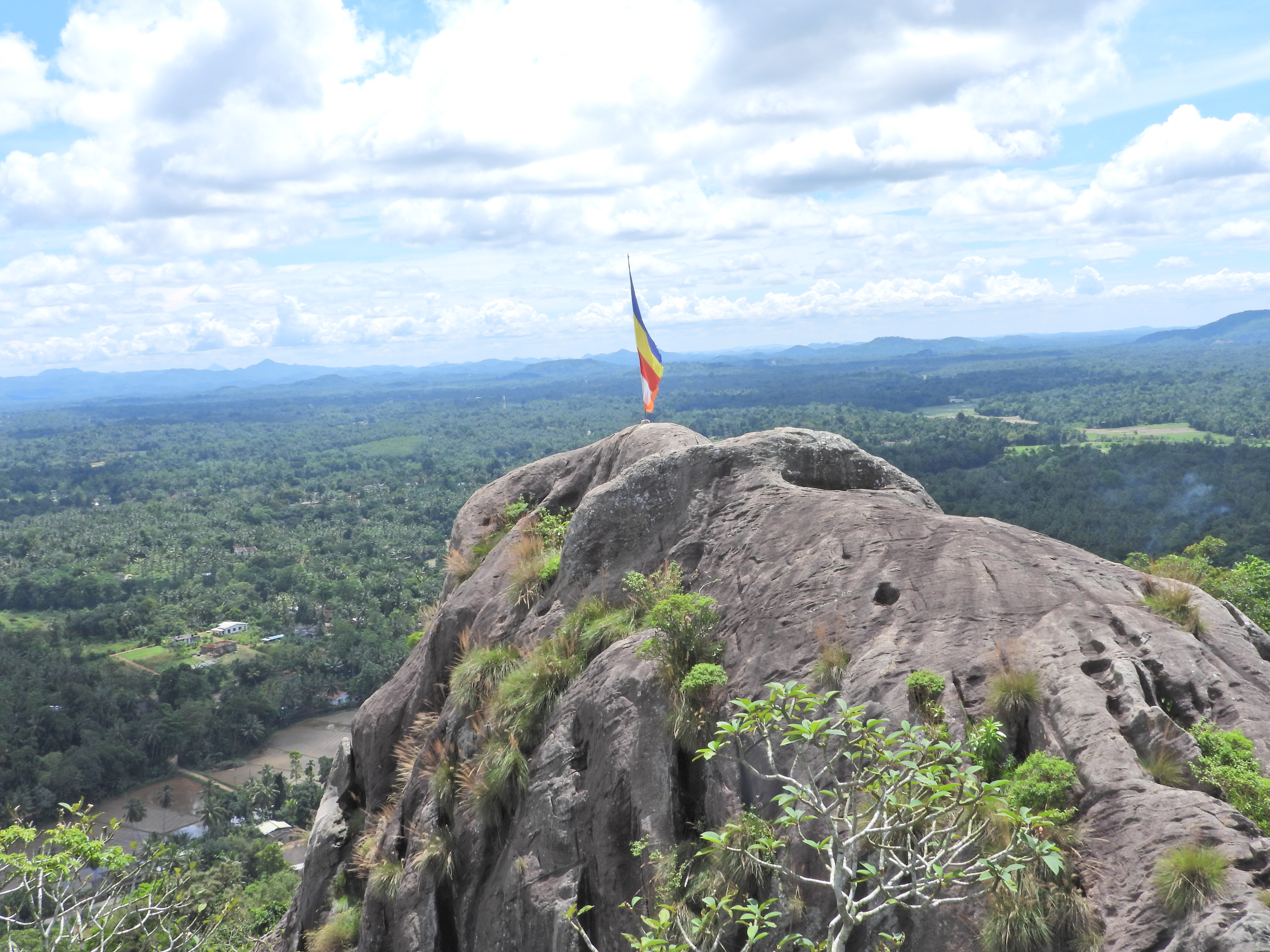
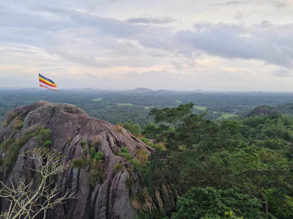
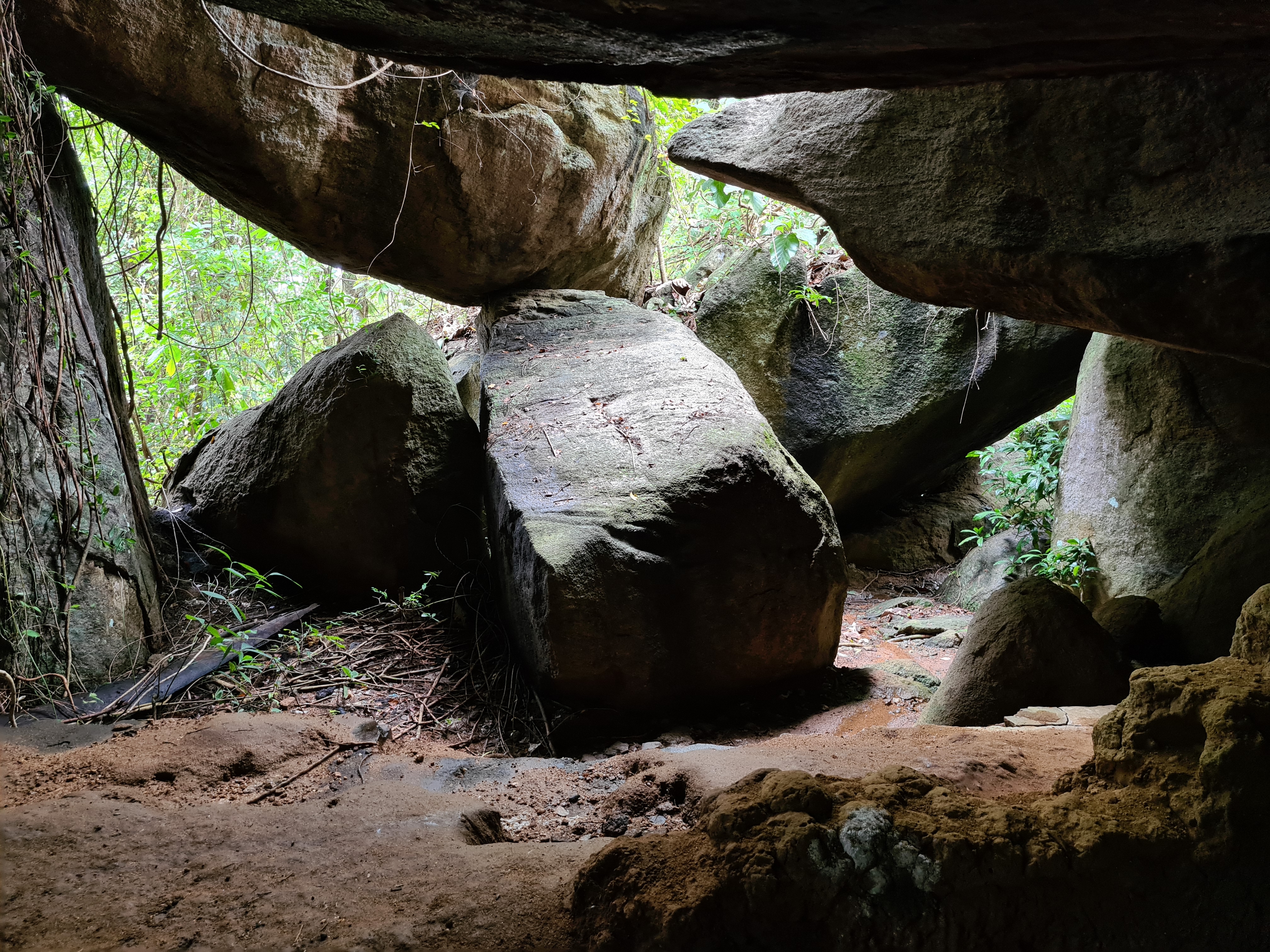
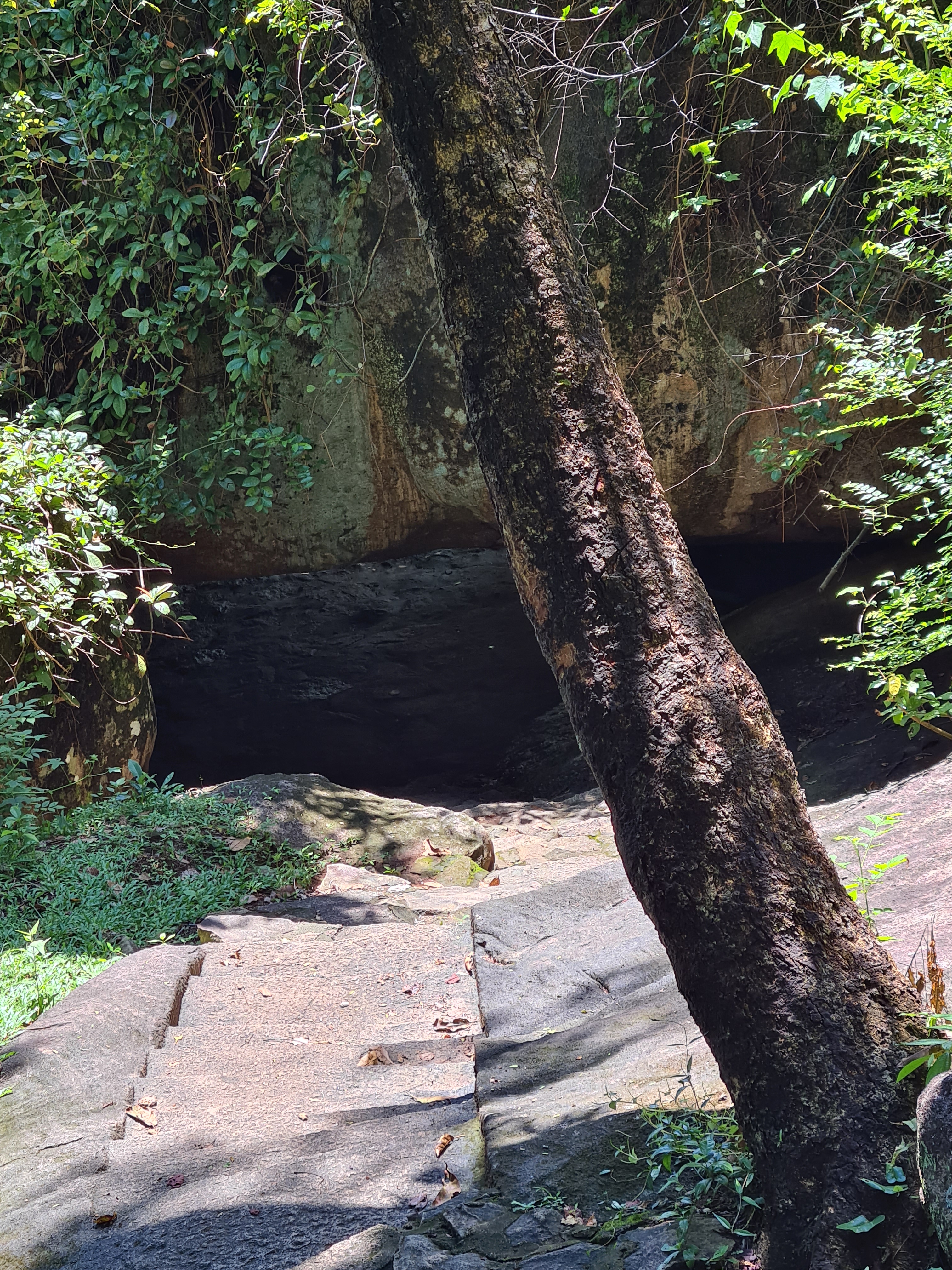
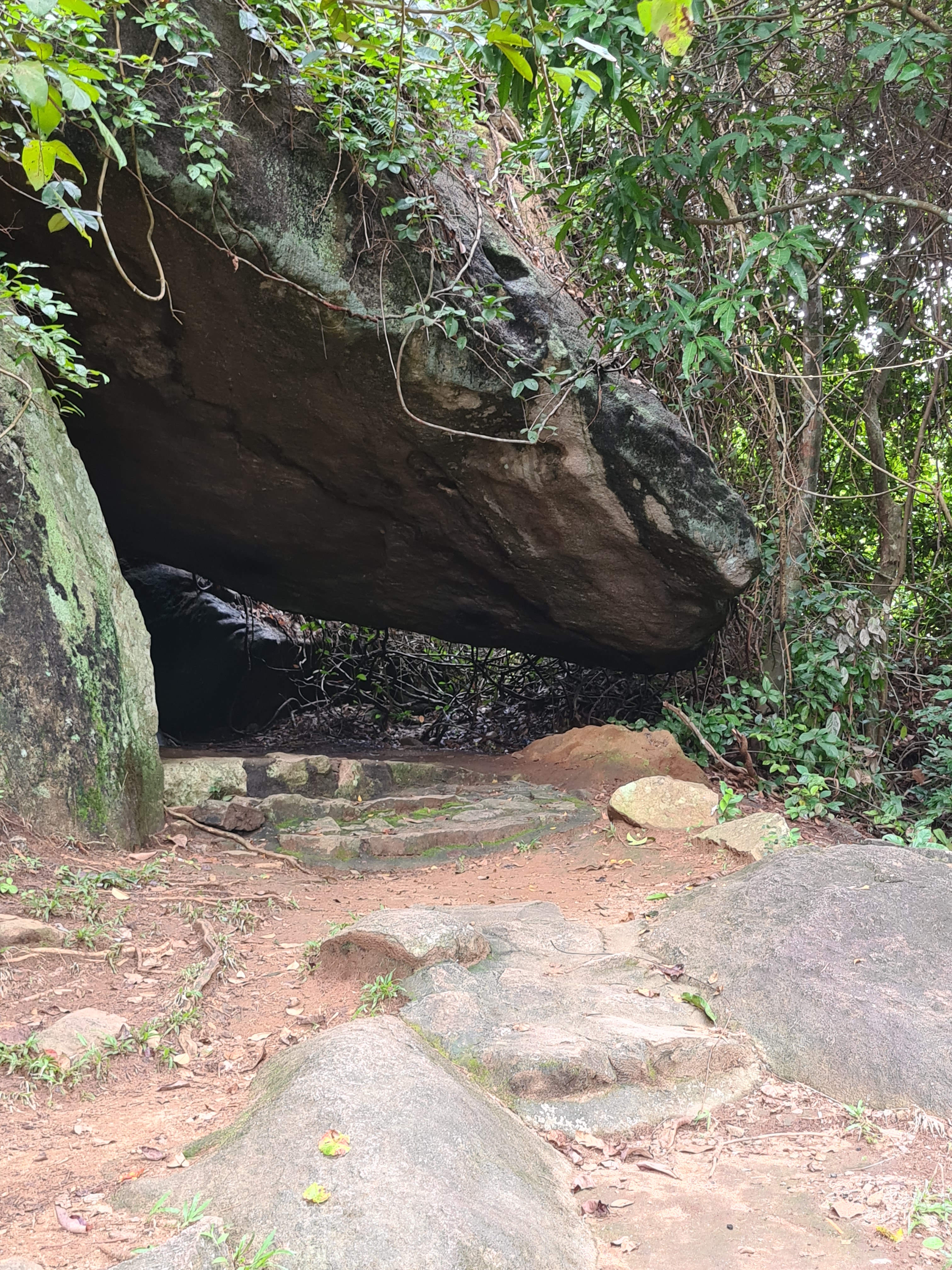
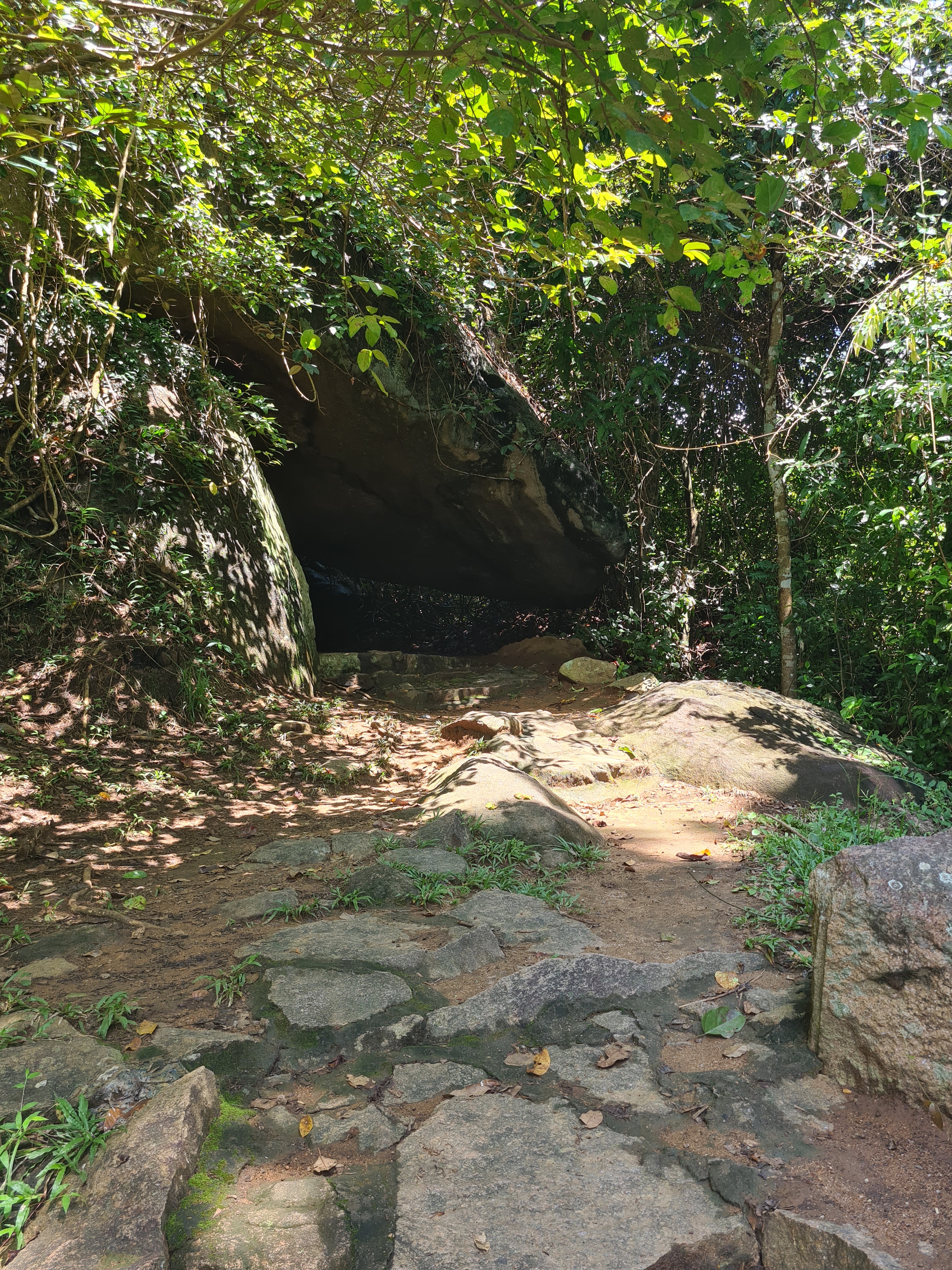
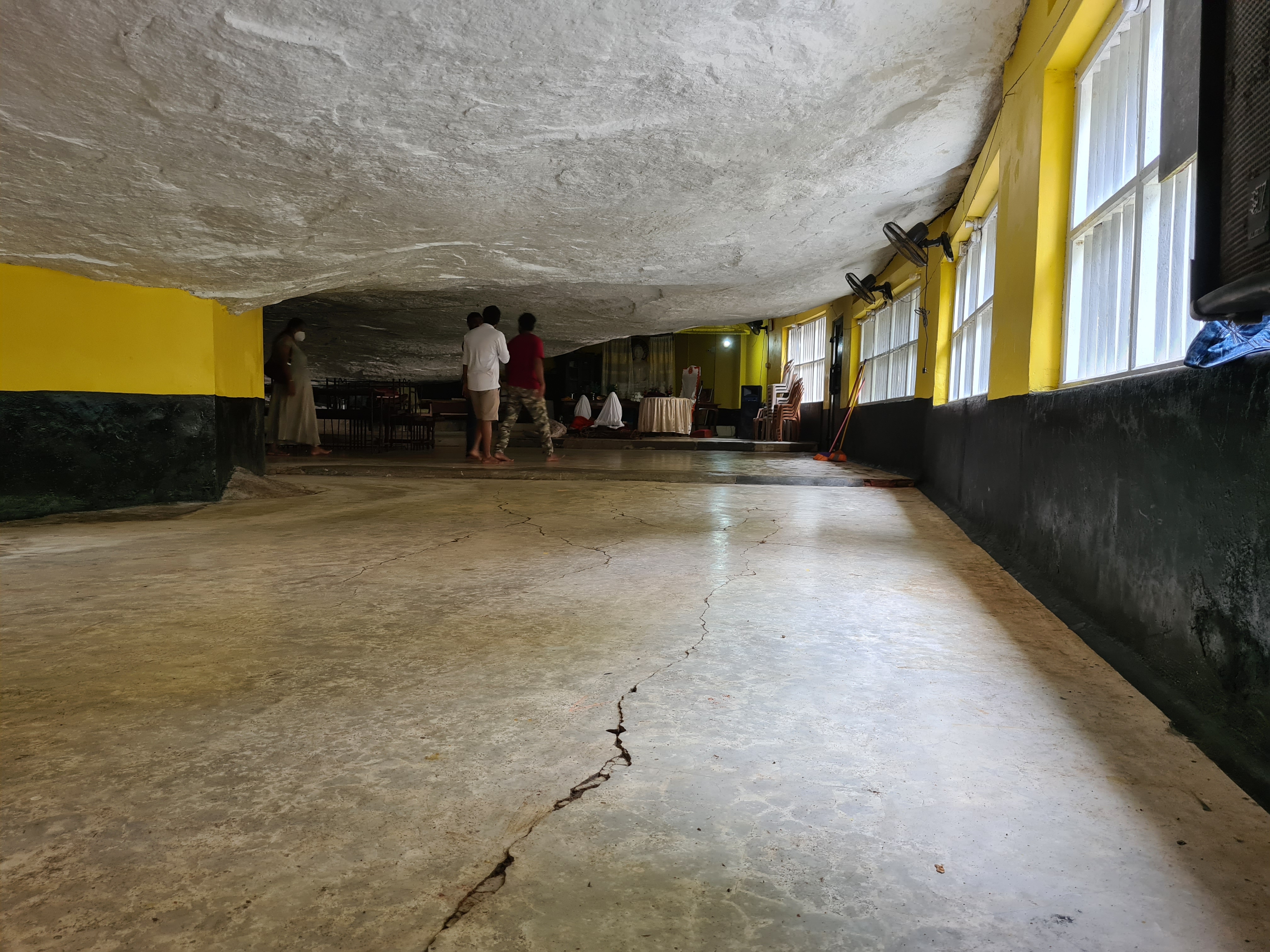
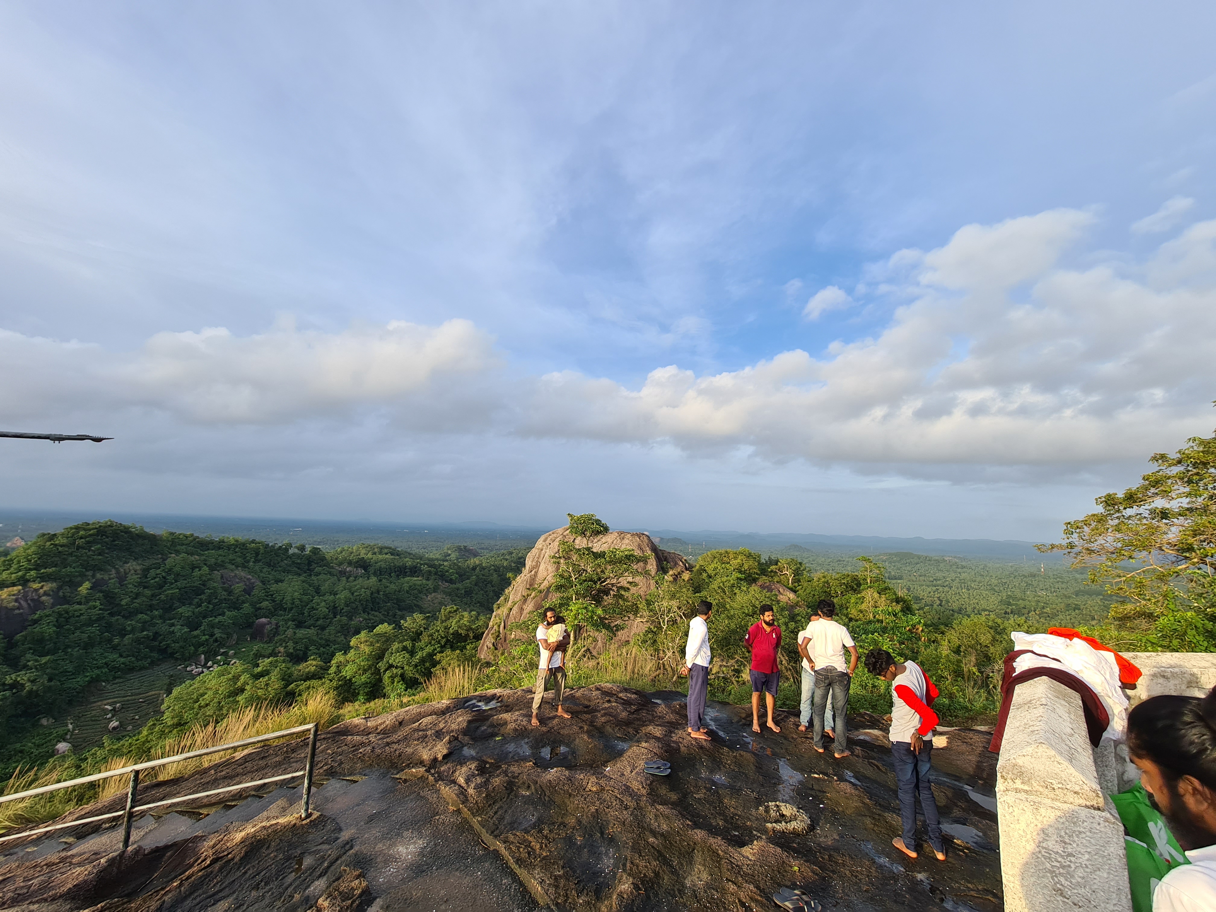
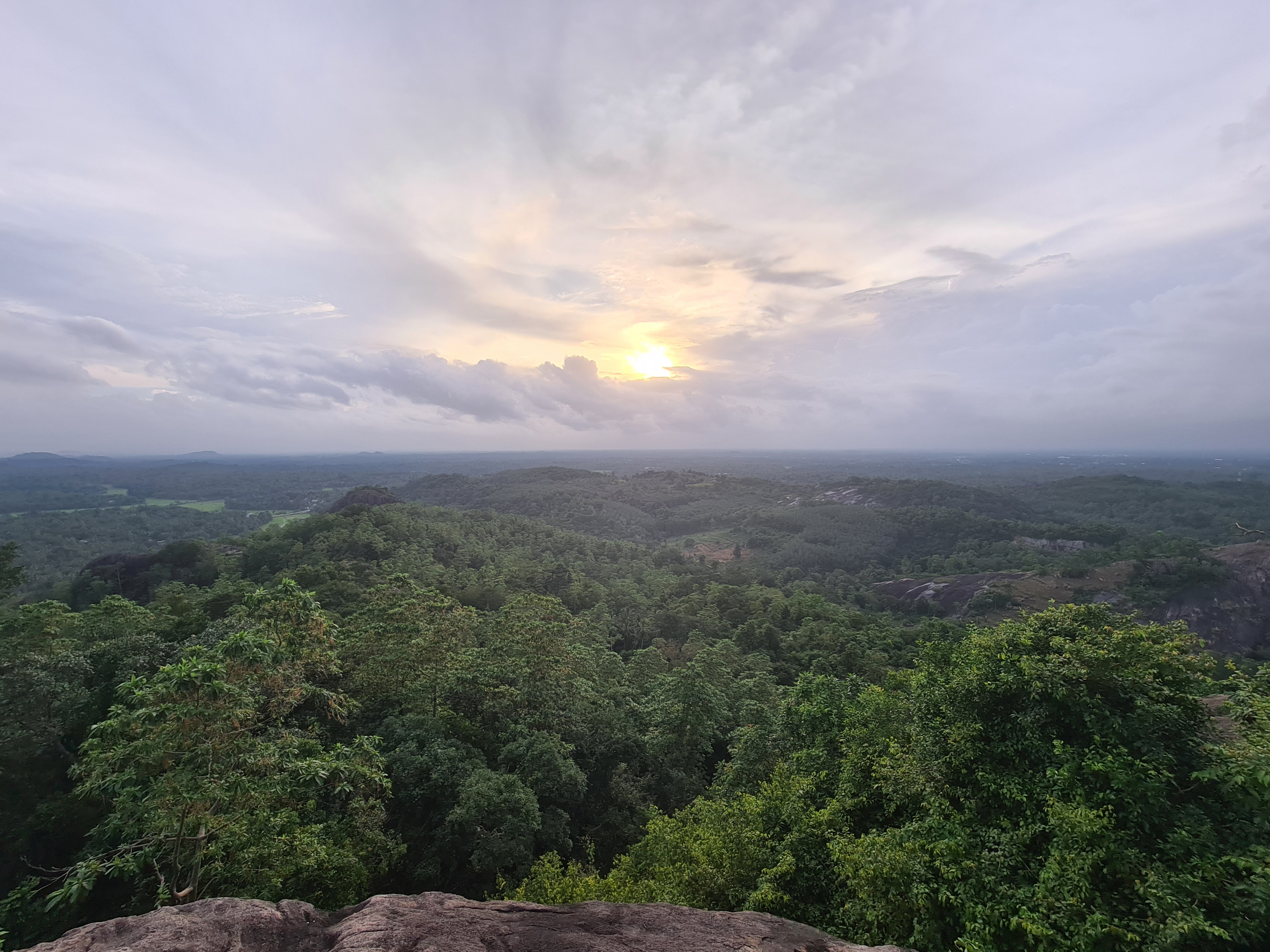
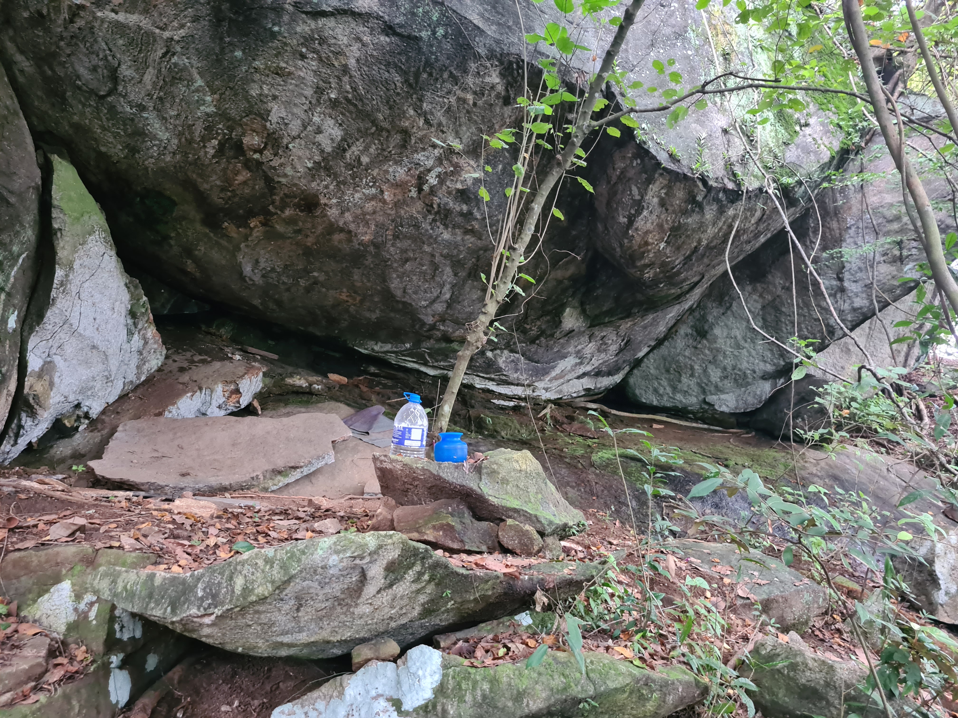
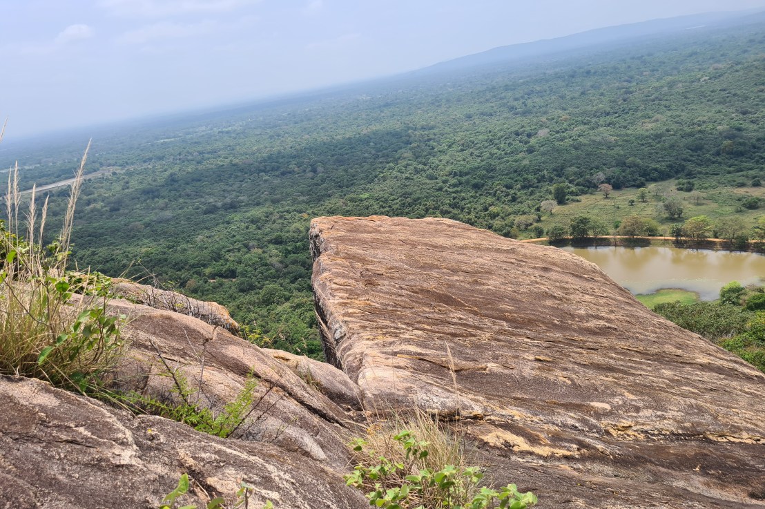
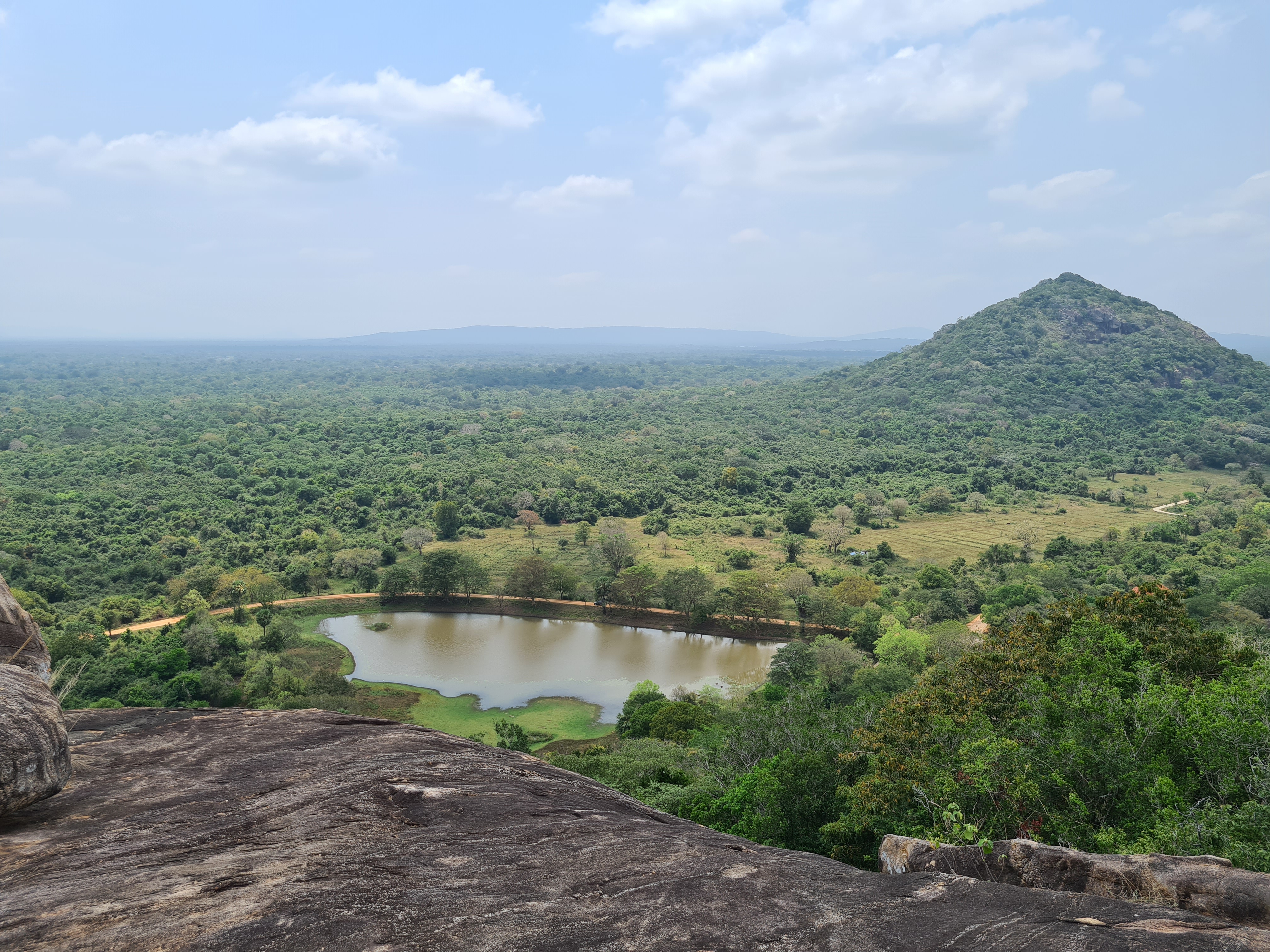
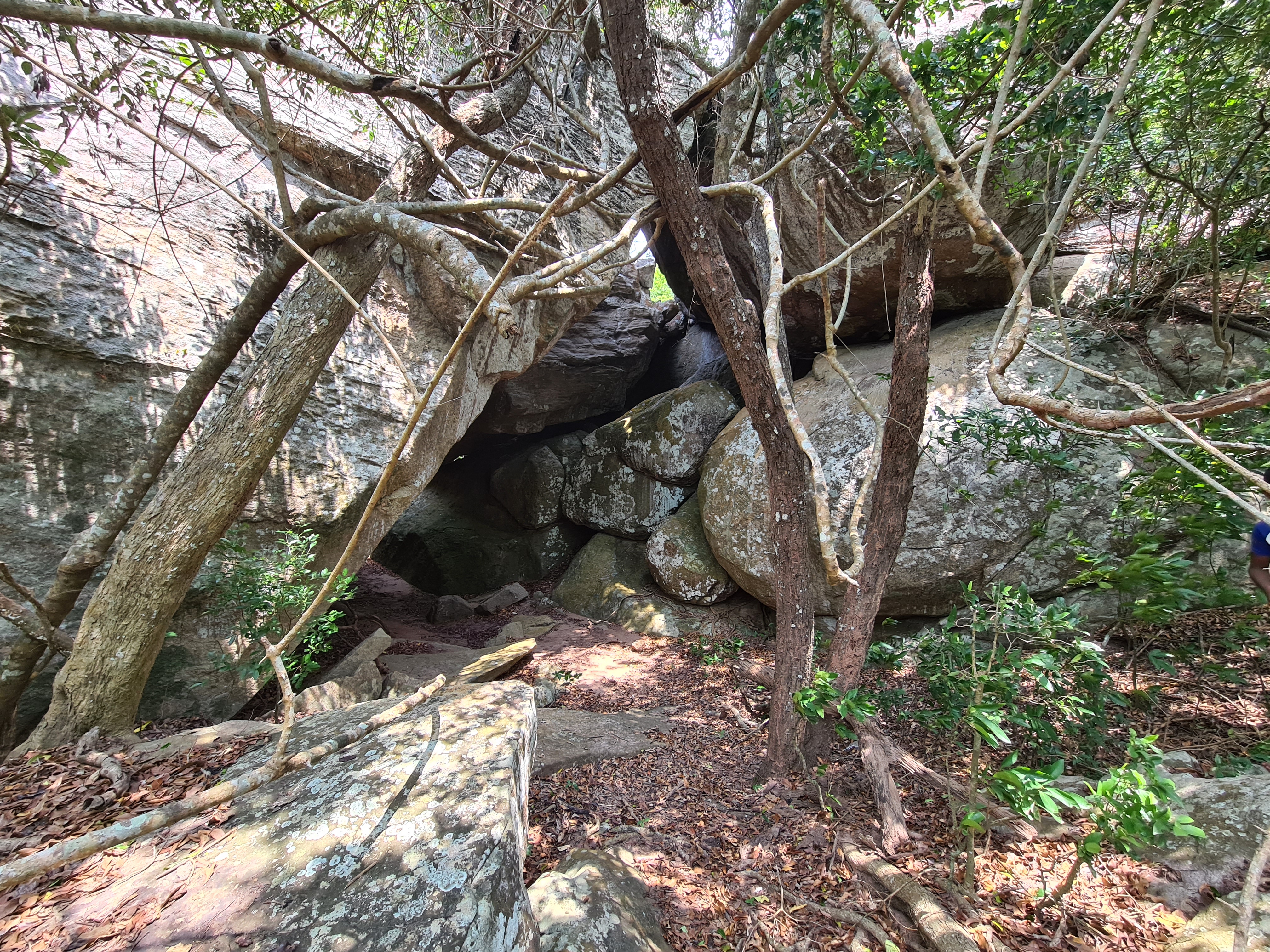
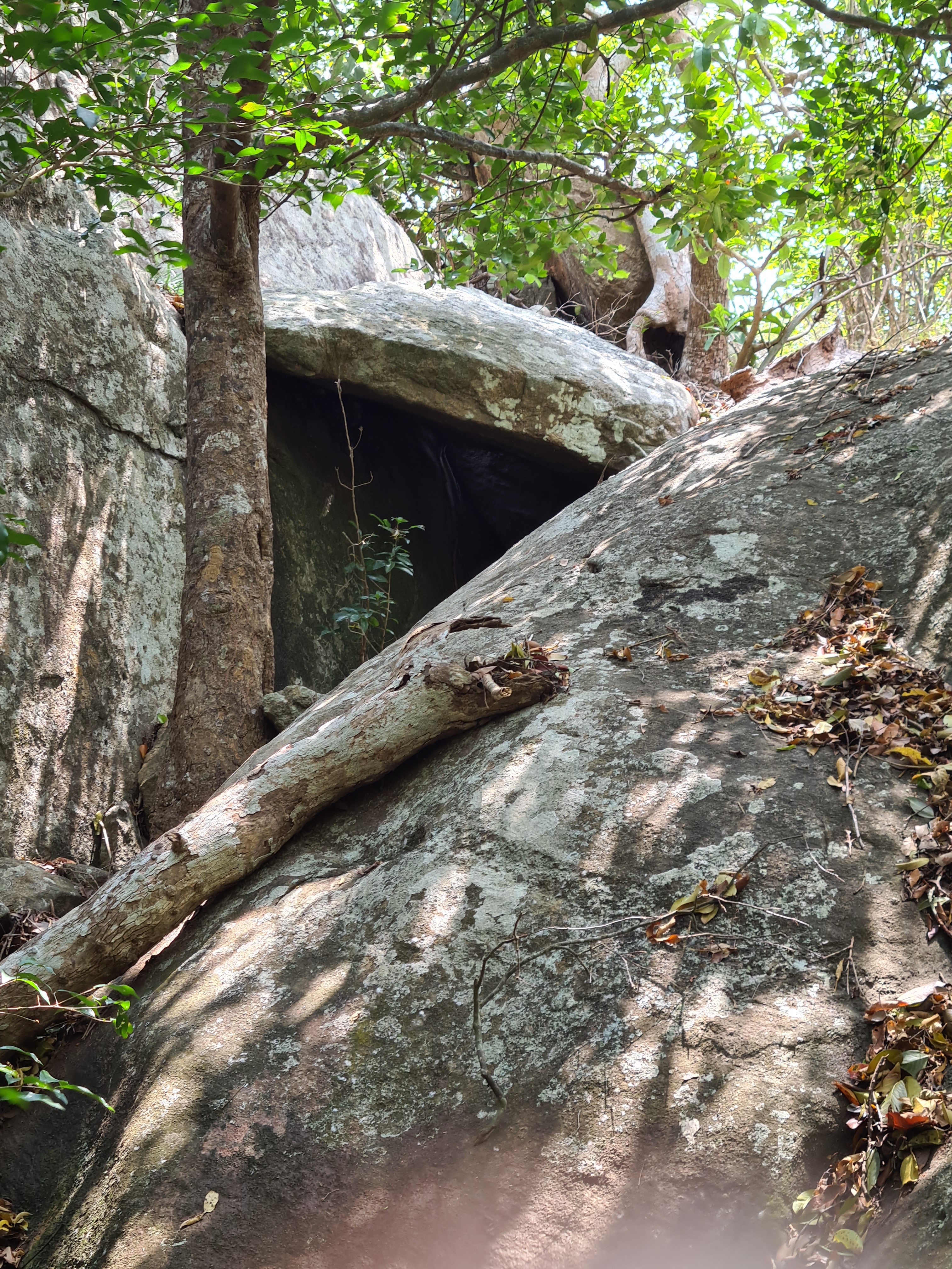
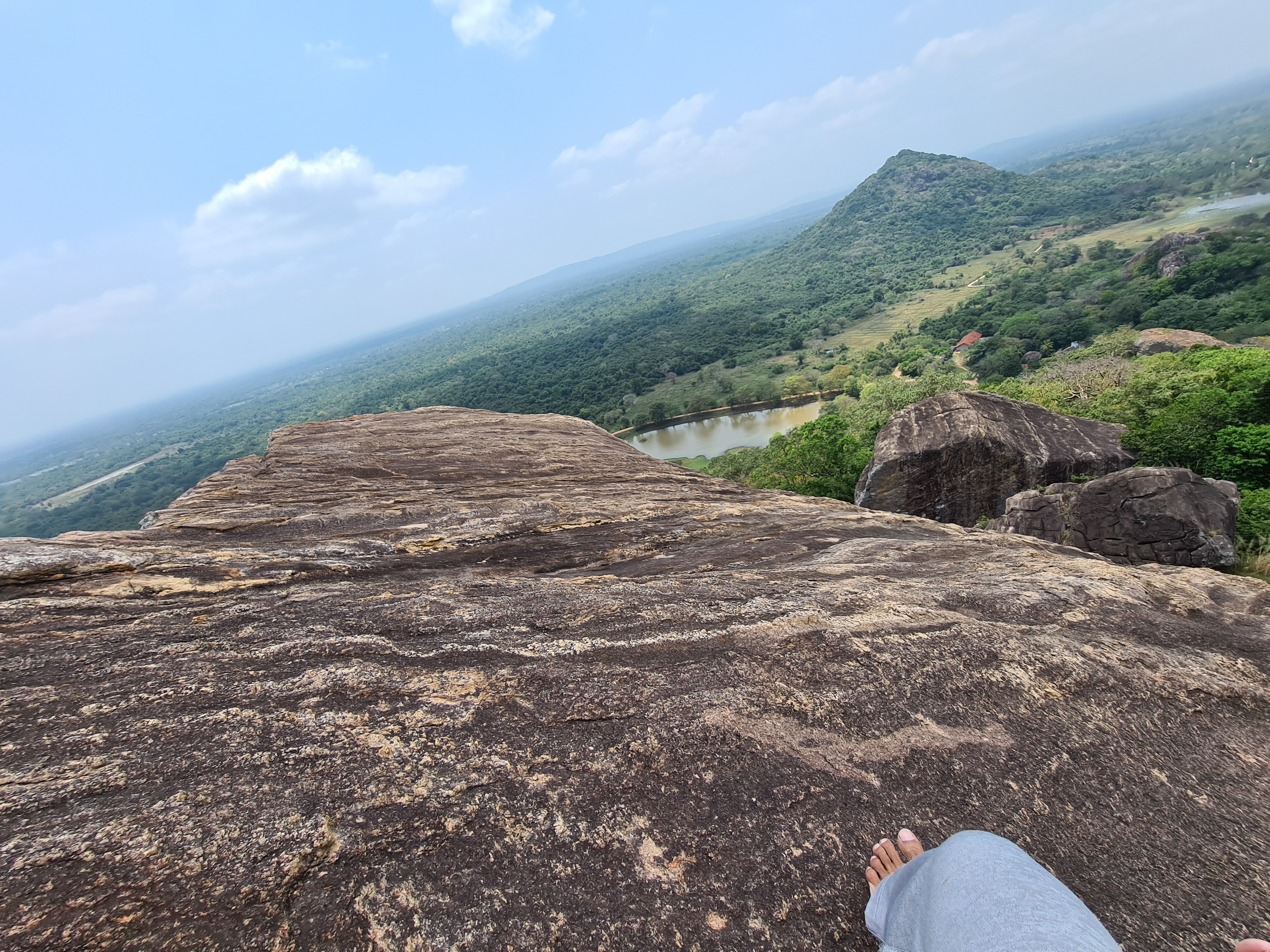
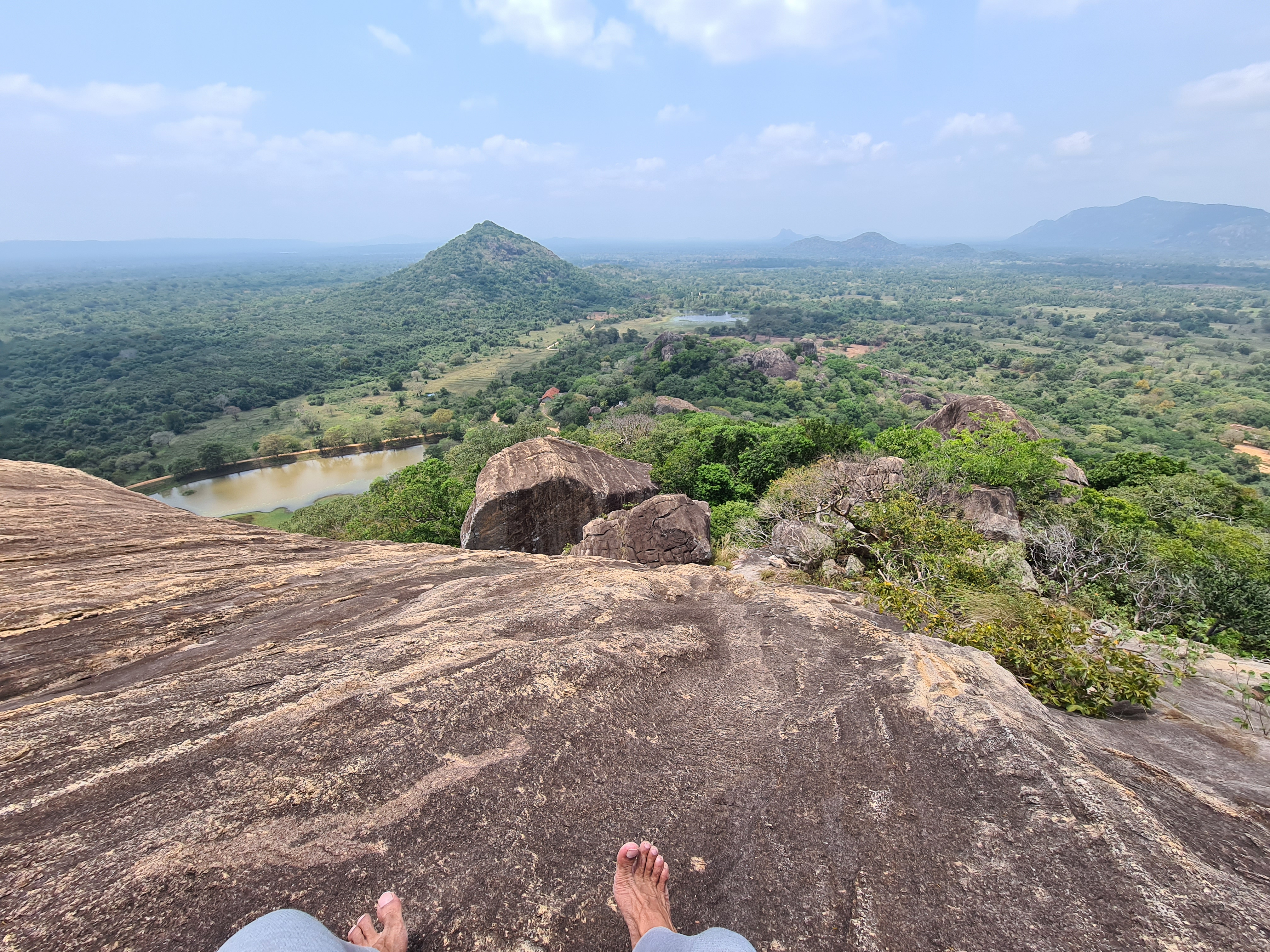
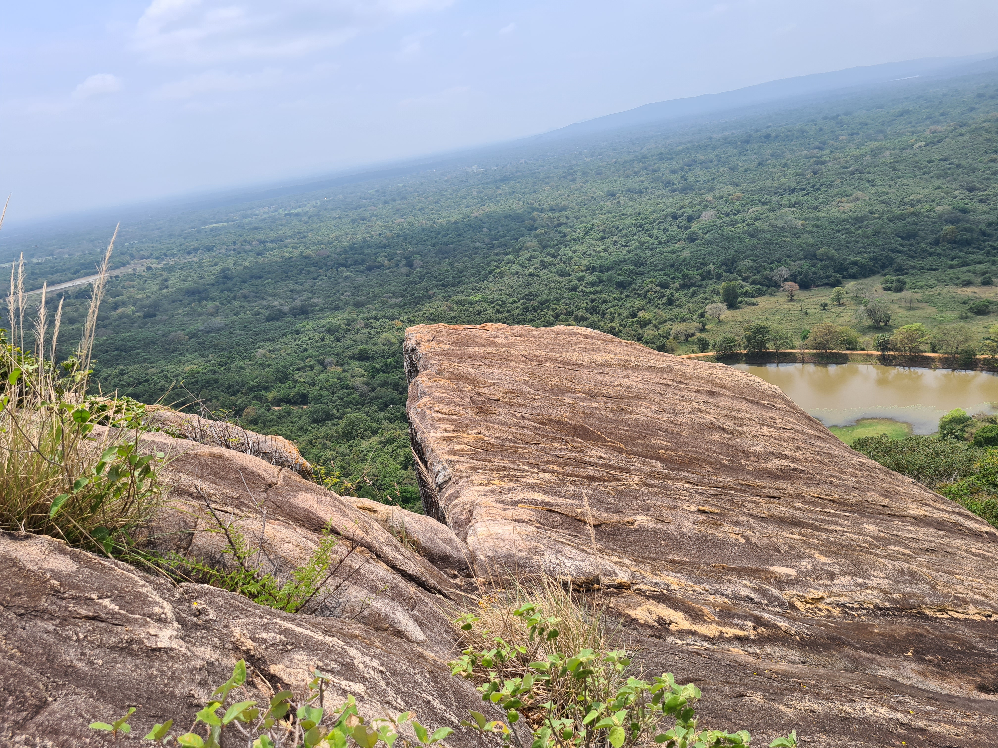
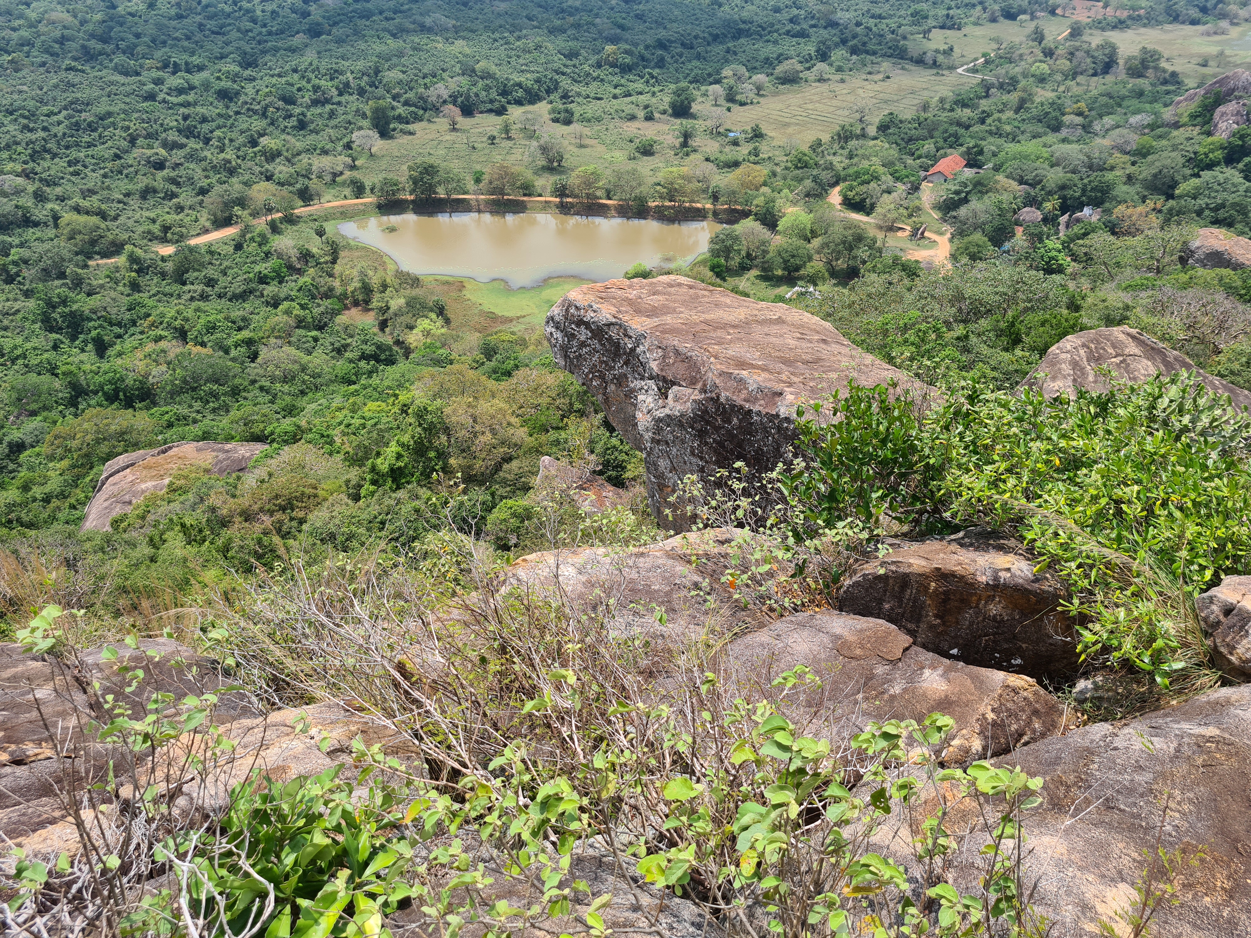
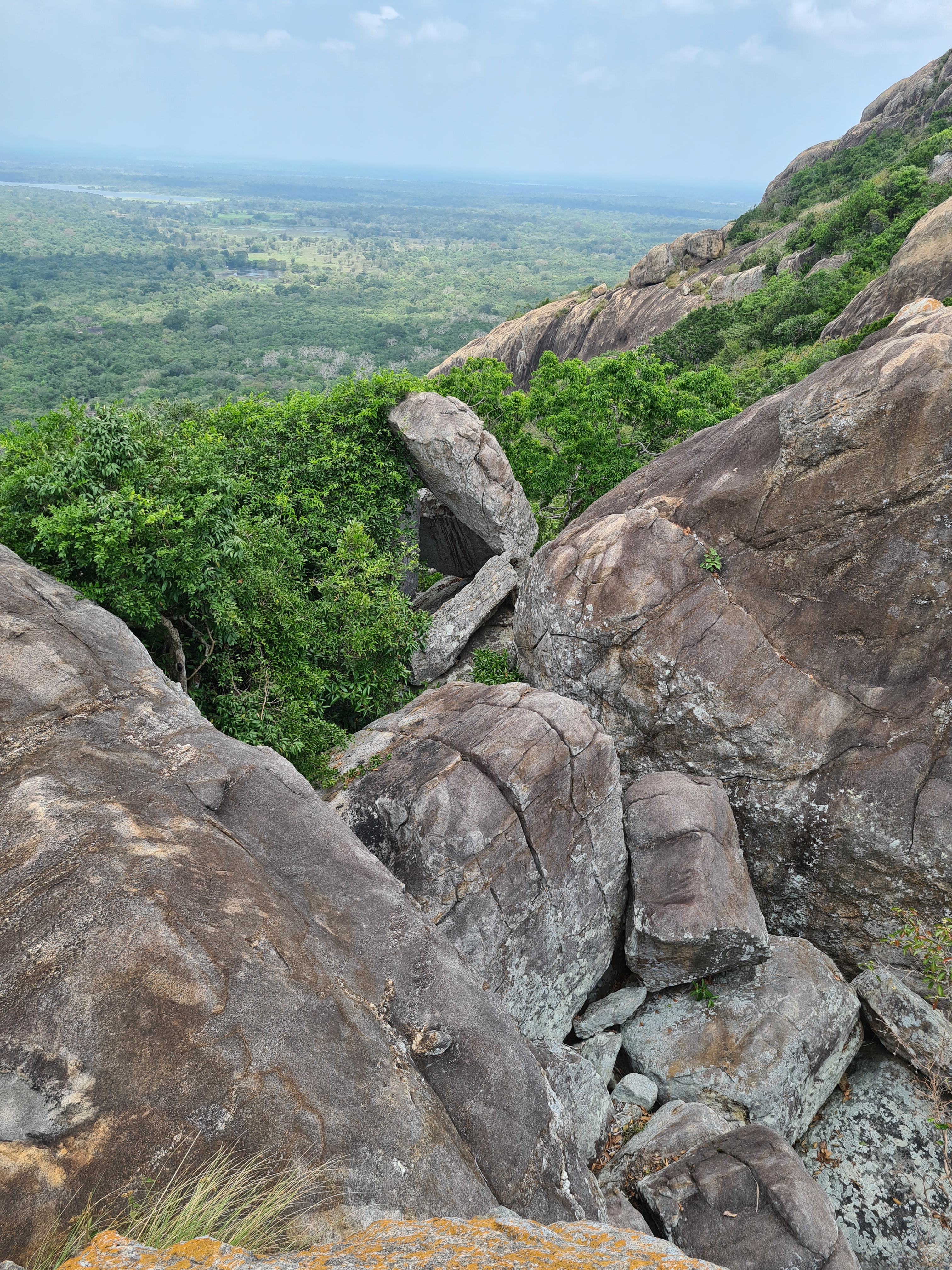
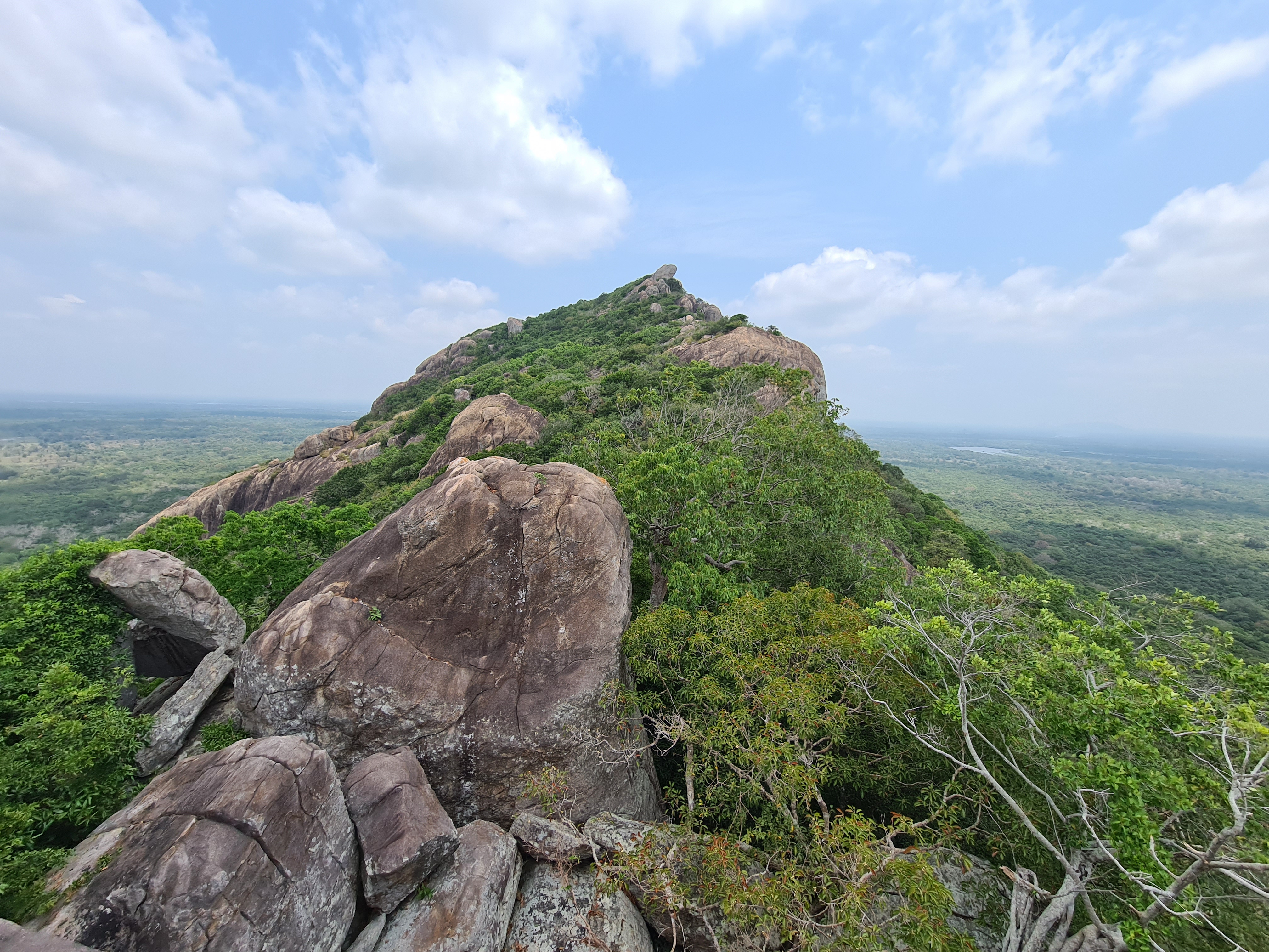
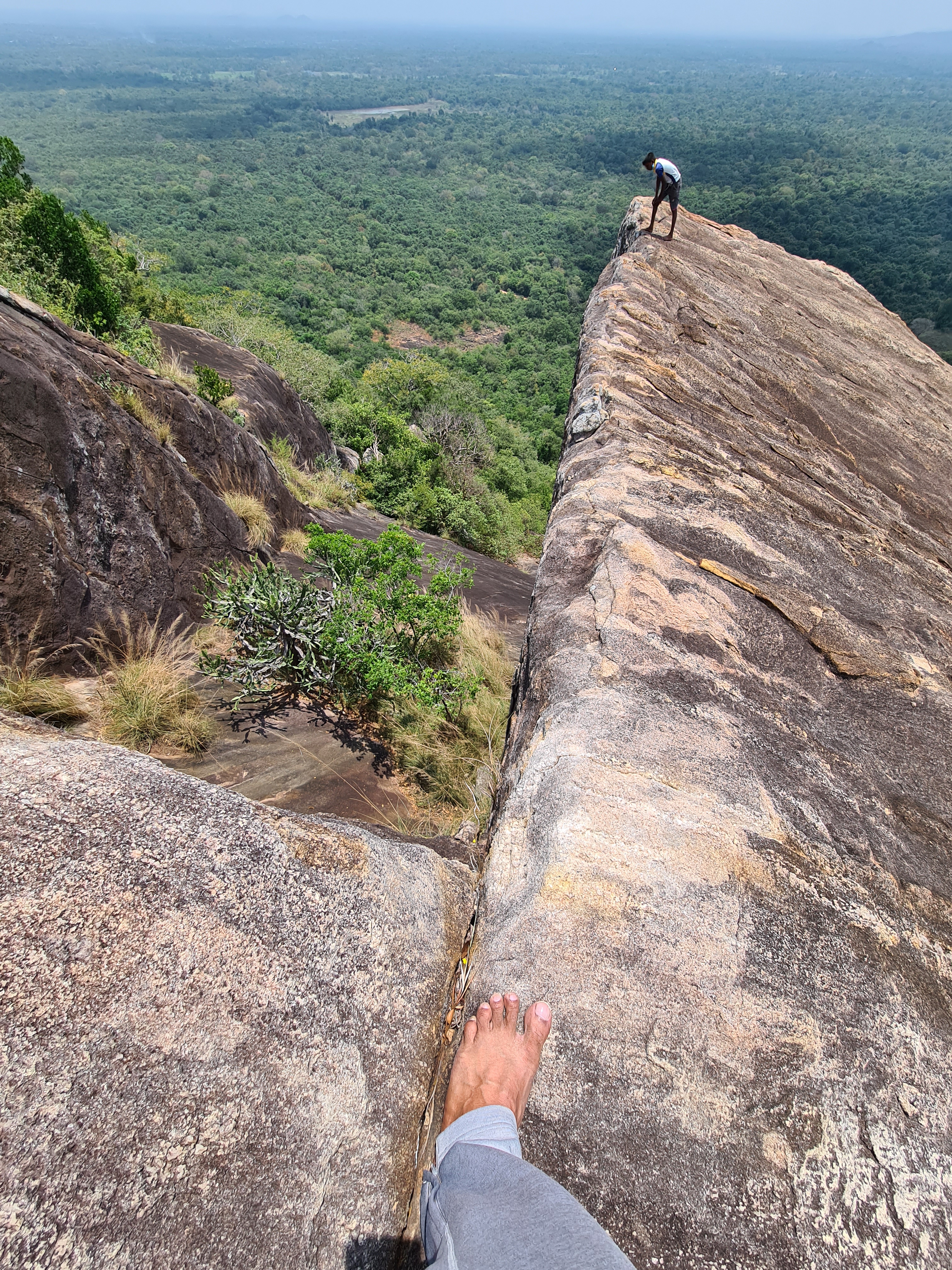
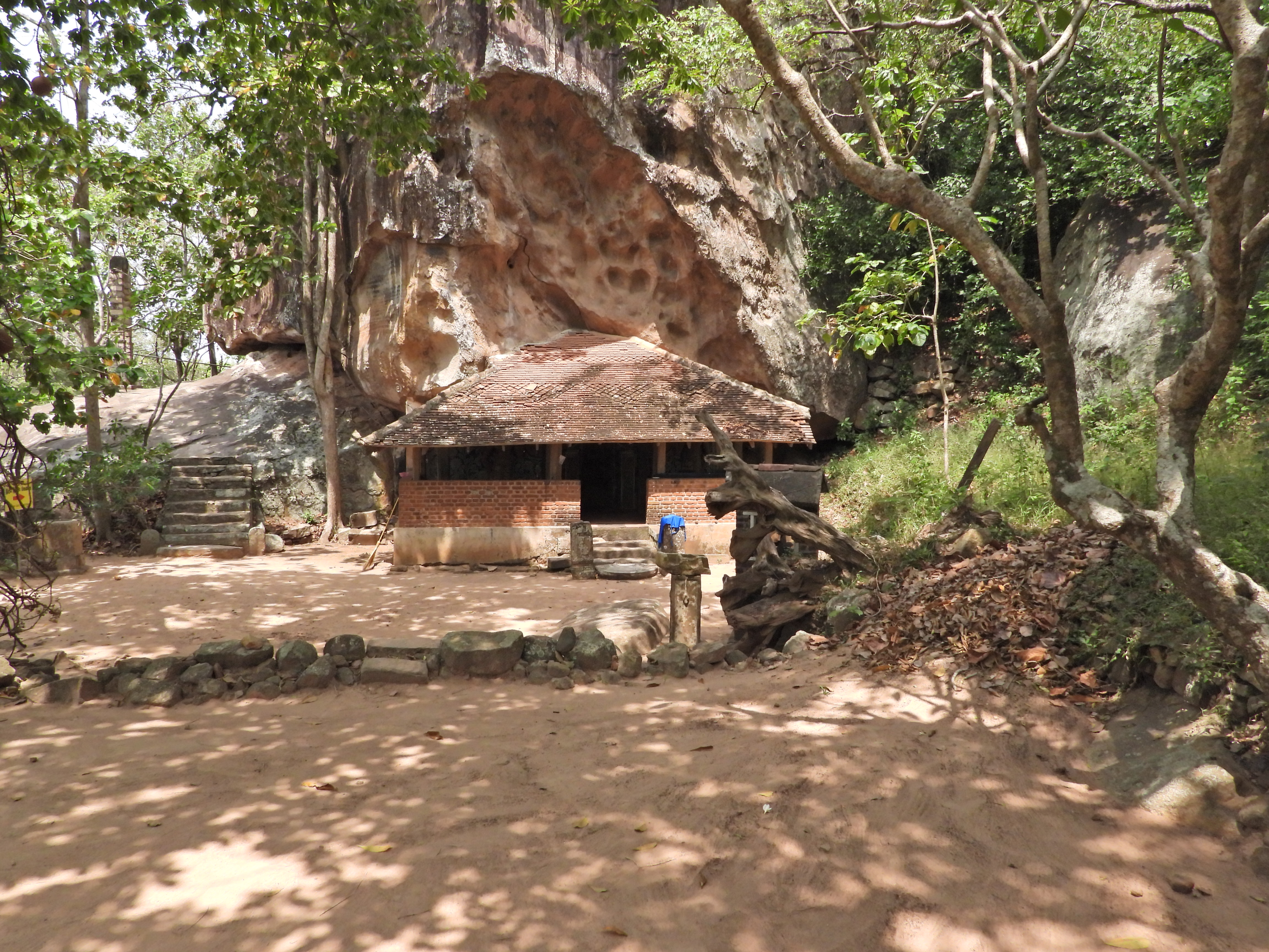
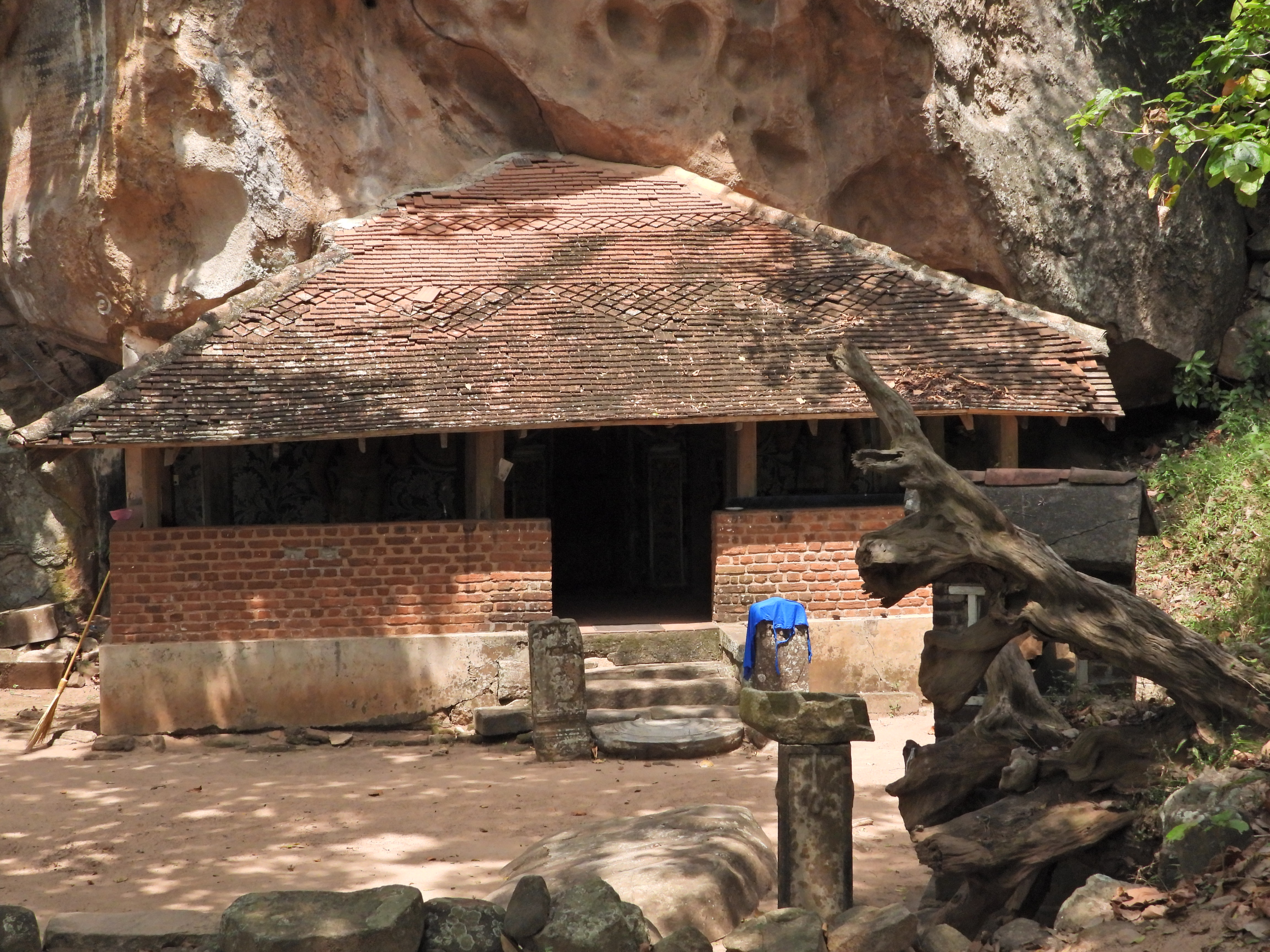
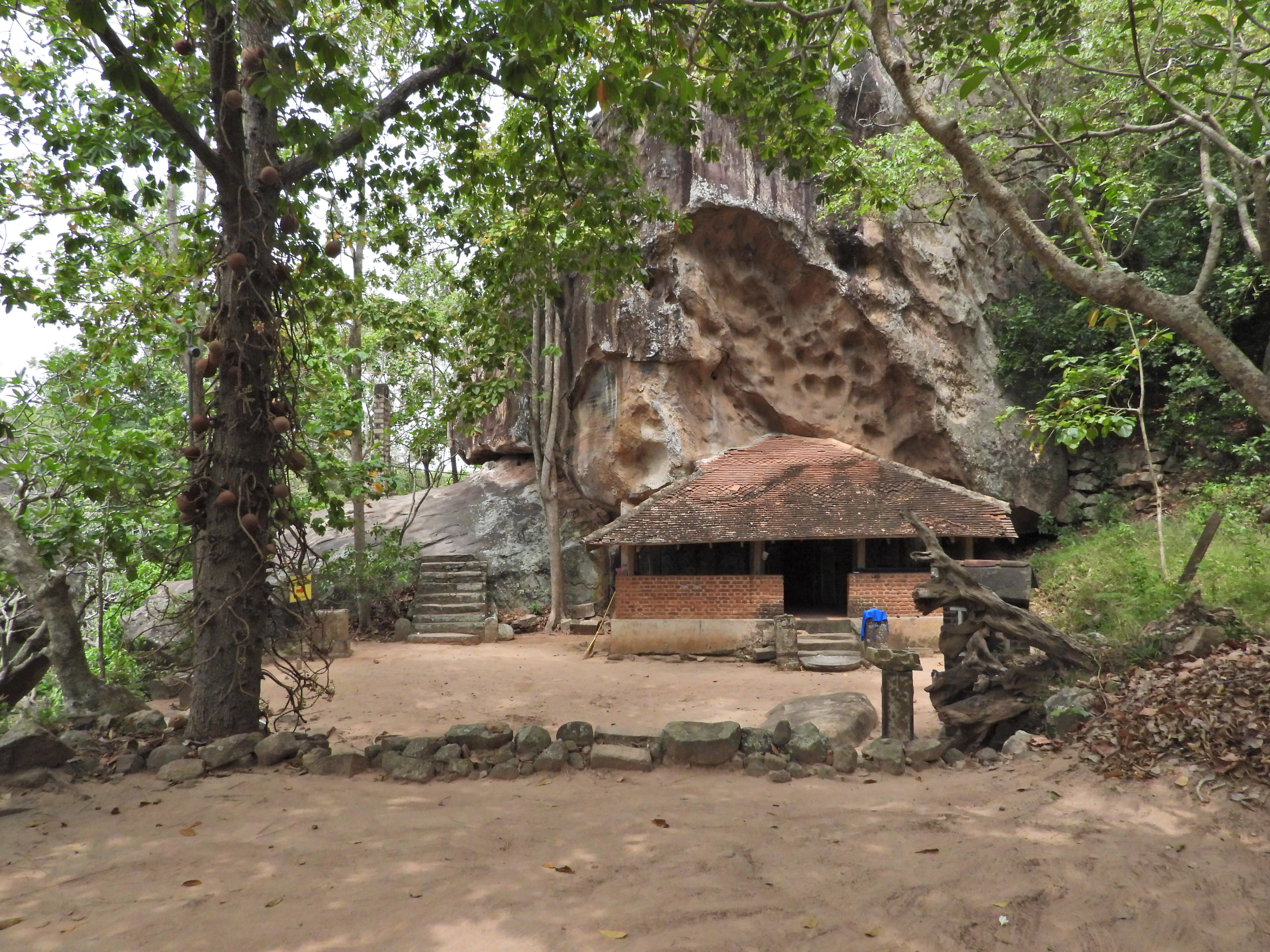
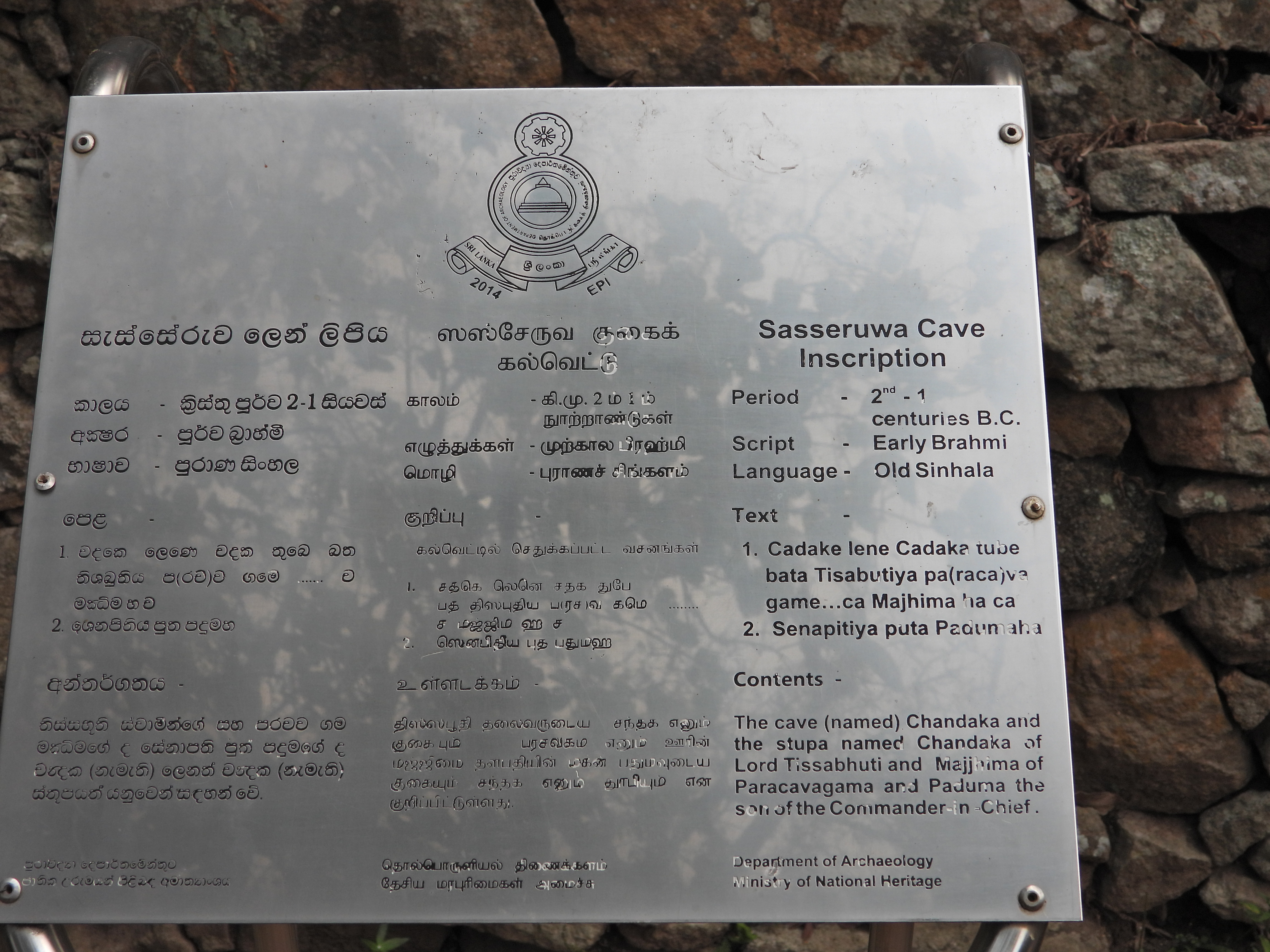
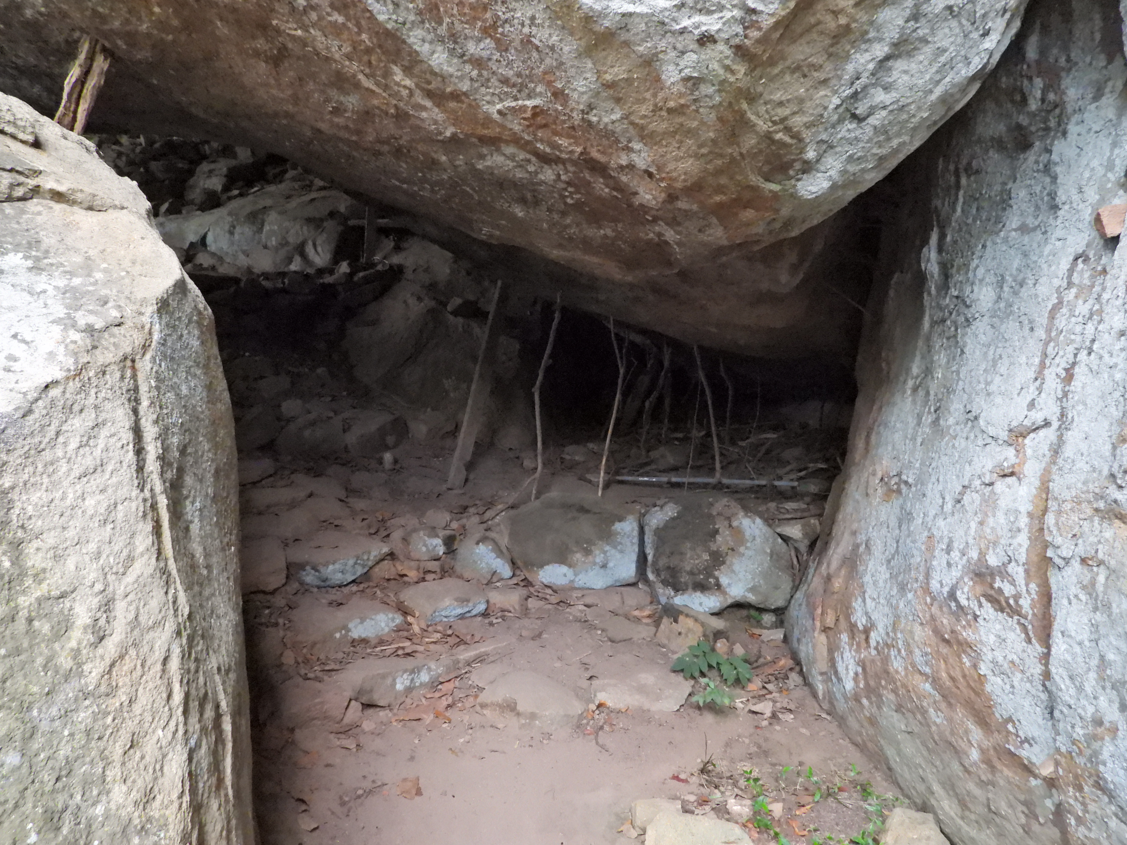
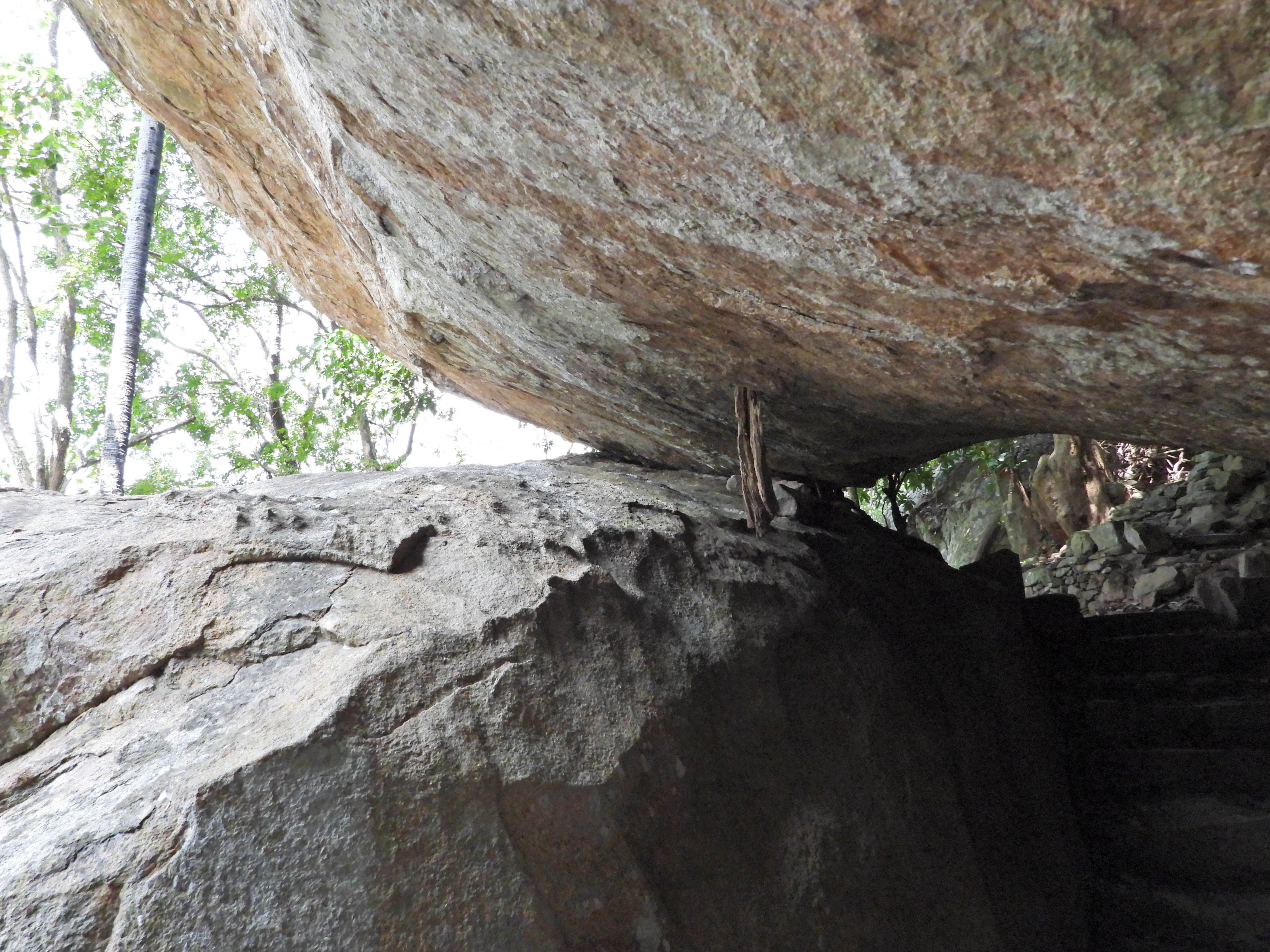
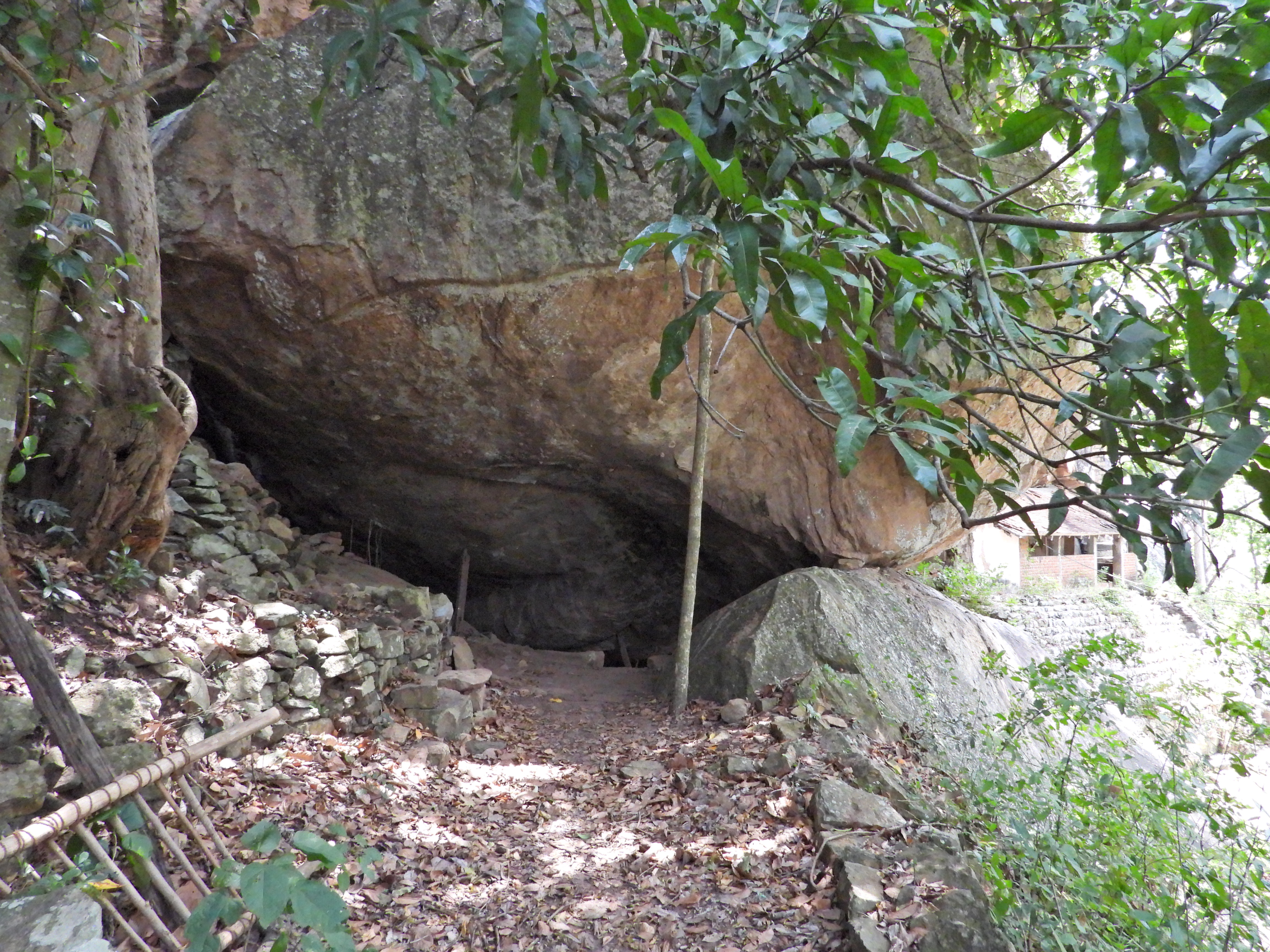
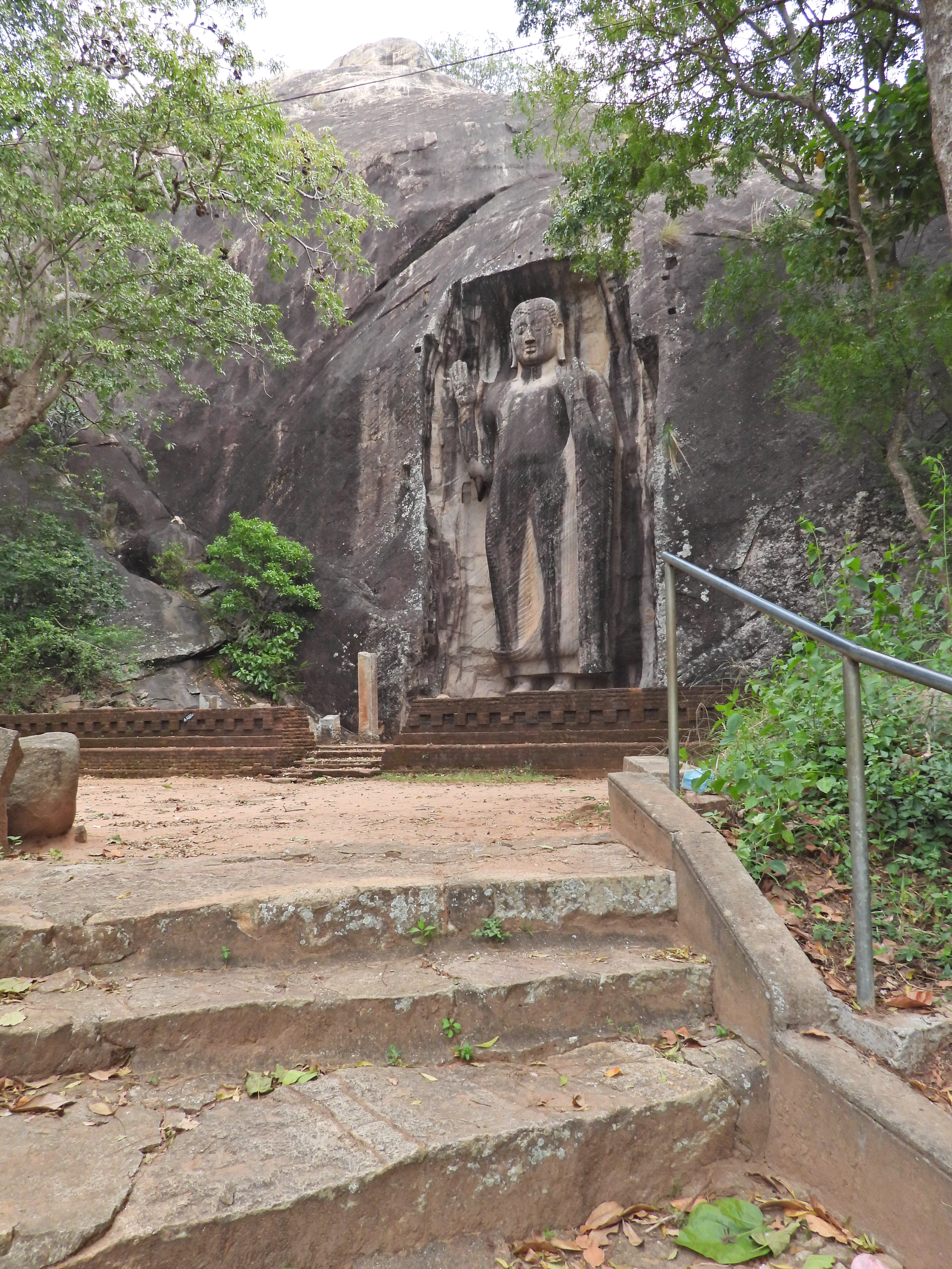
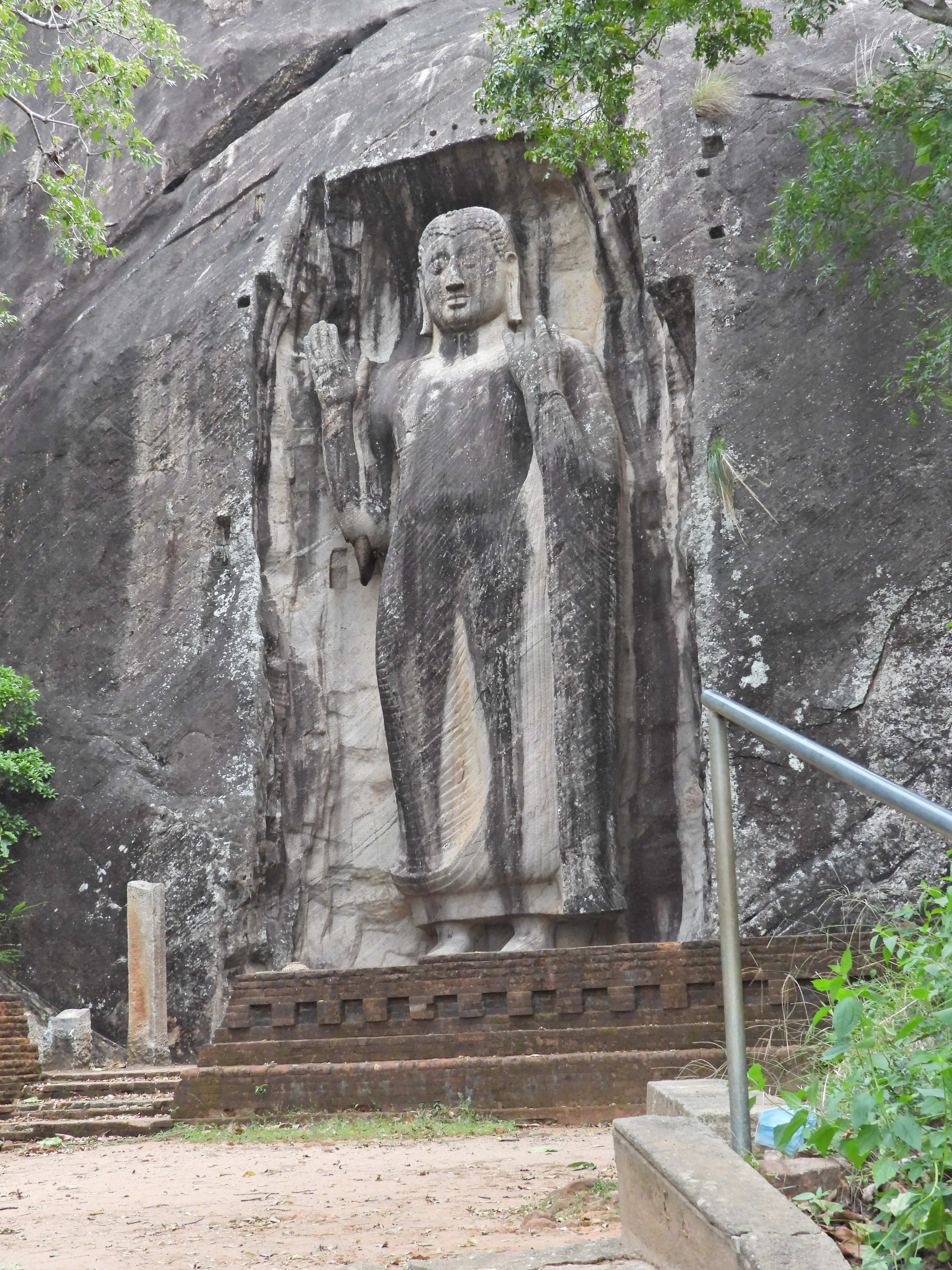
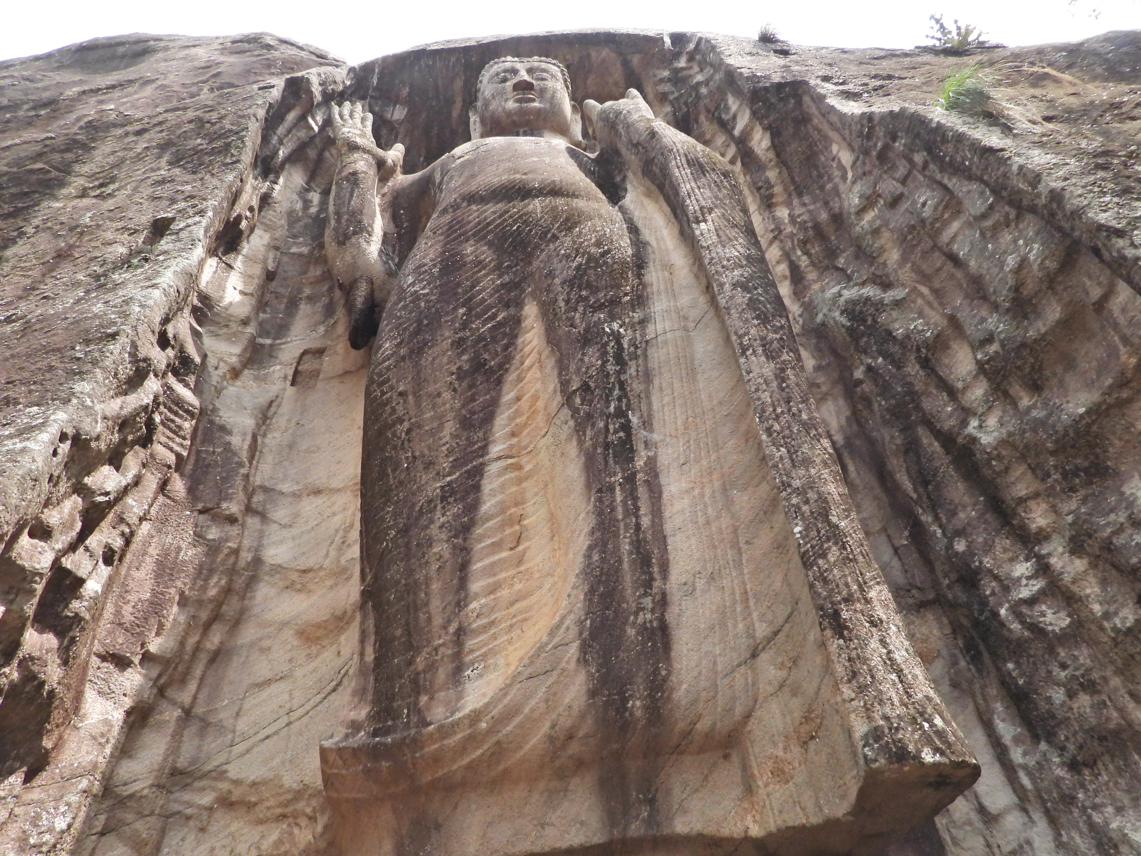
The mountain is littered with caves and a climb to the top, which requires special clearance, one can see remains of ancient stair ways carved into the rock. At the summit is a ruin of a structure, probably a look out point with a very sturdy foundation which is all that remains. The view from the top give a 360 degree view of the surrounding area including a view of Pidurangala, Sigiriya and the stupas at Anuradhapura.

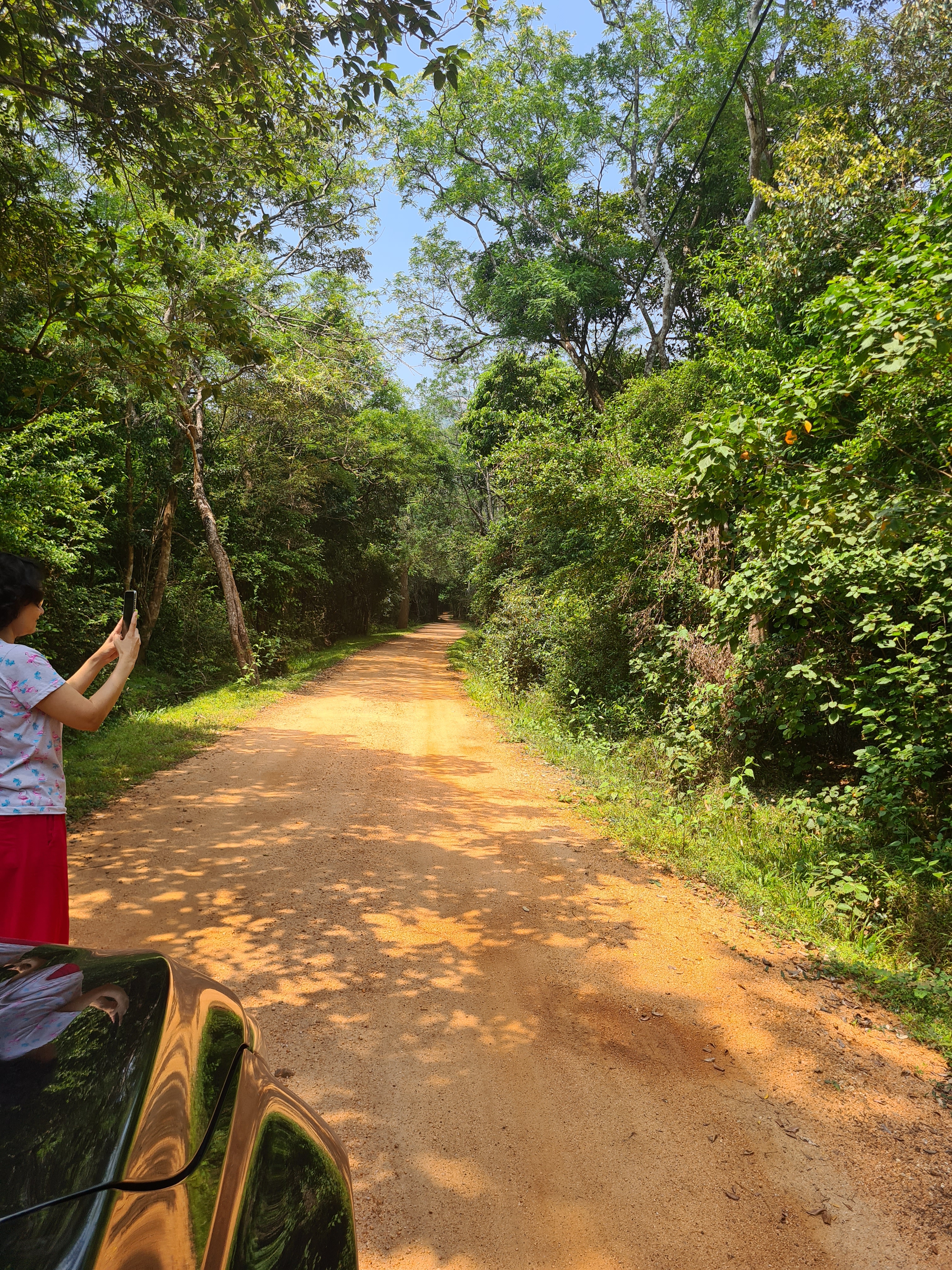
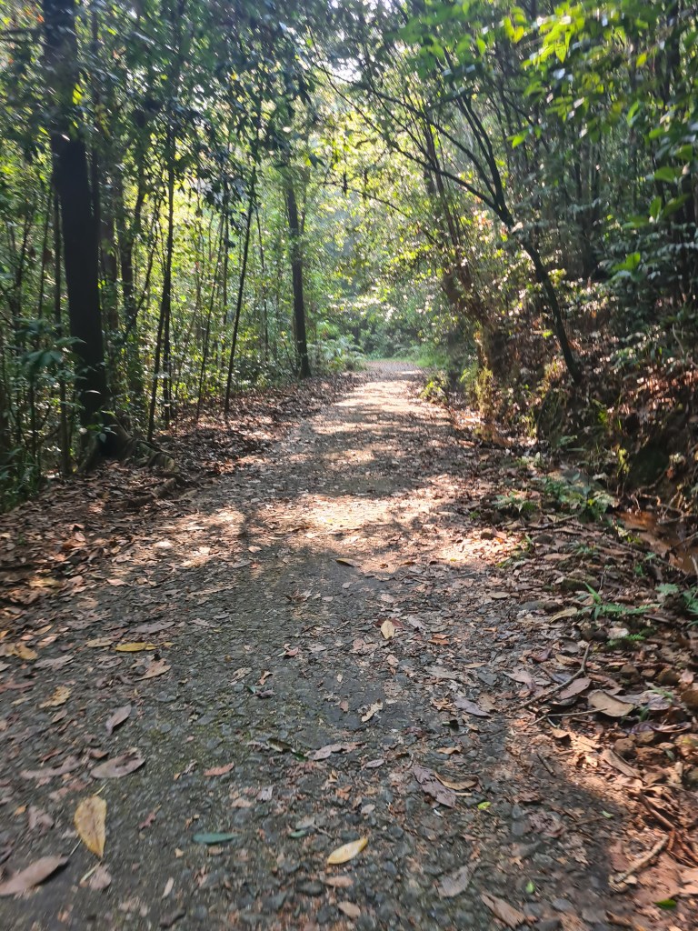
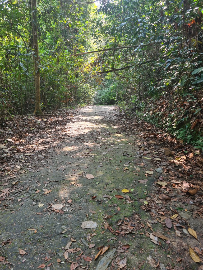
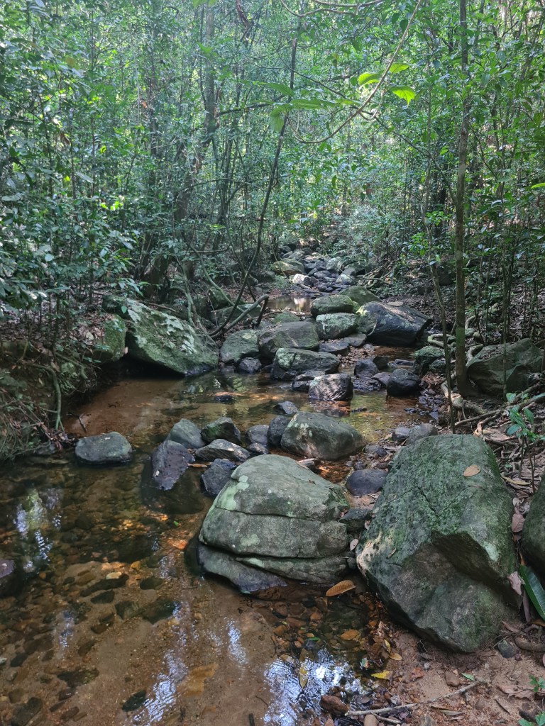
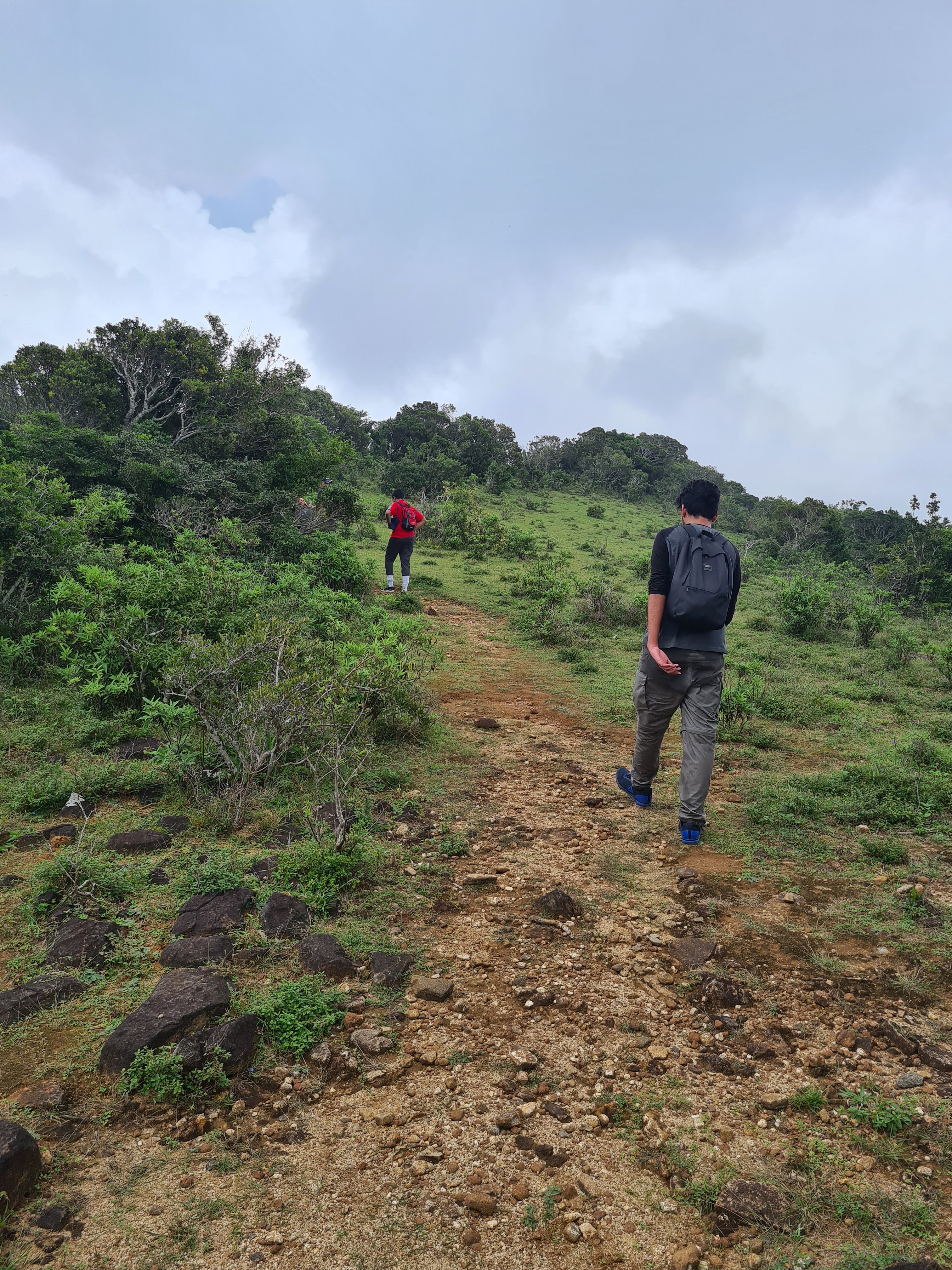
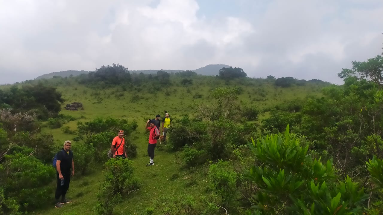
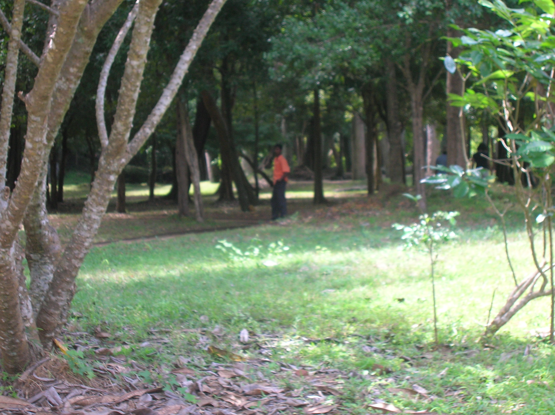
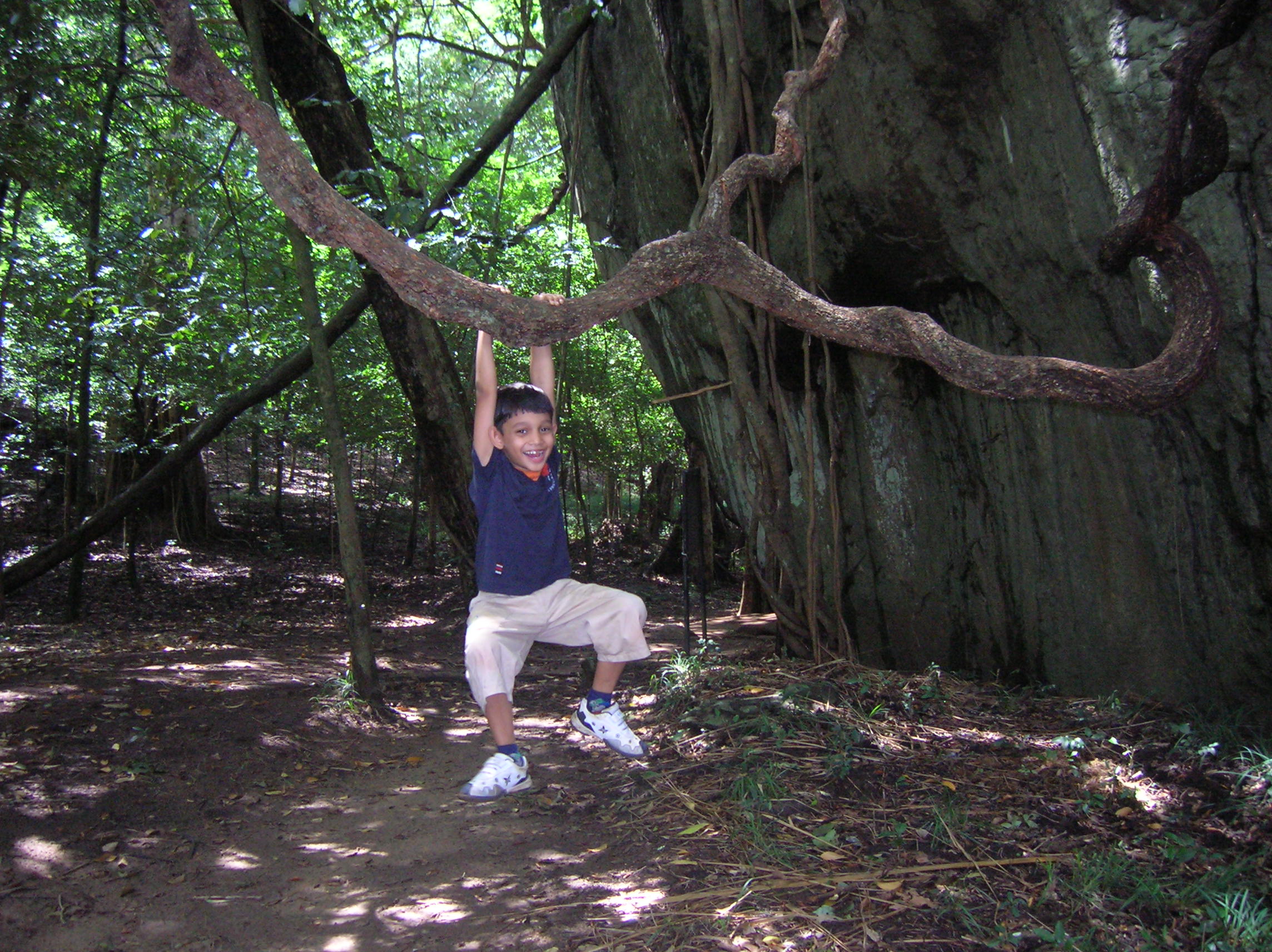
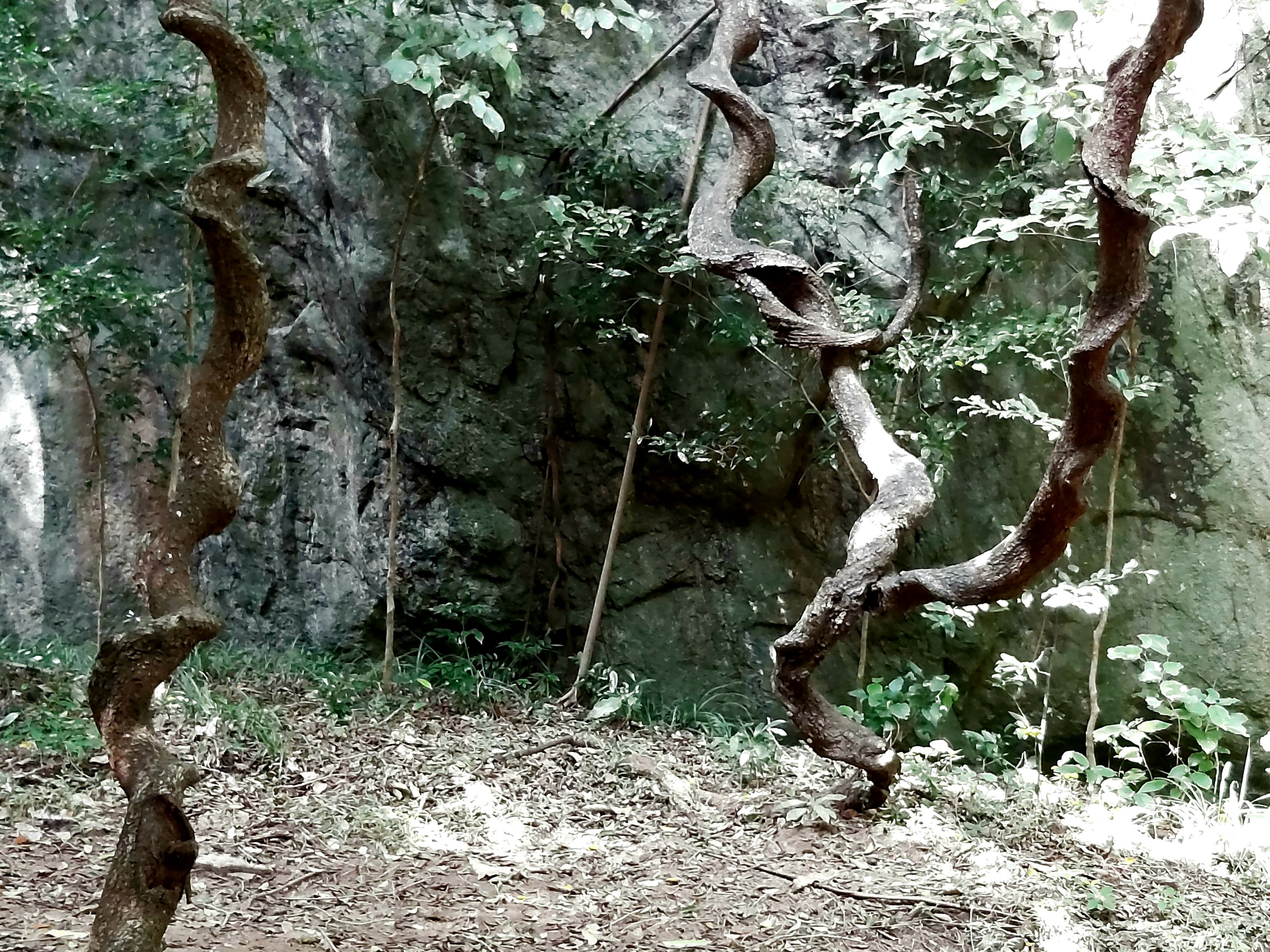
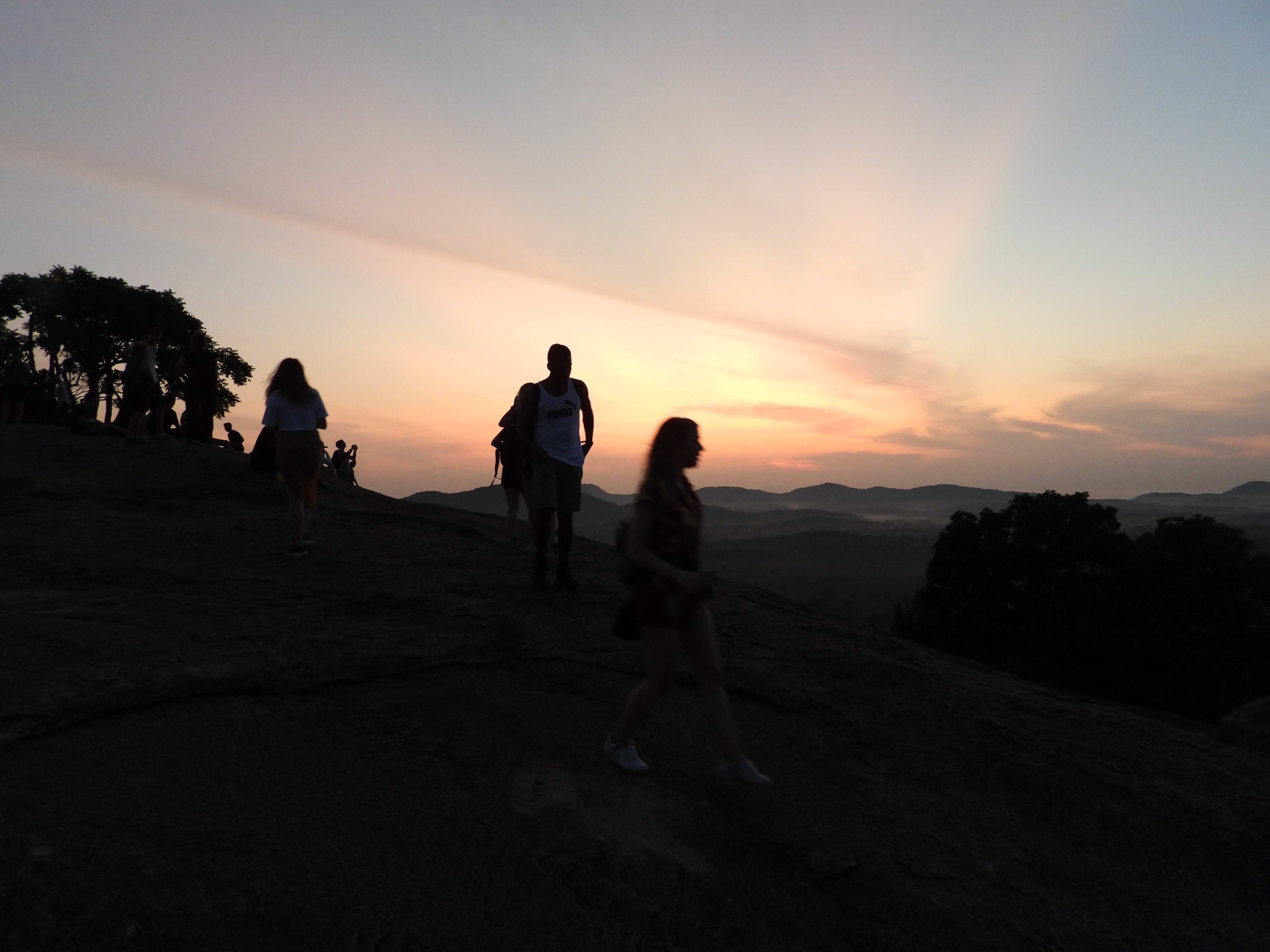
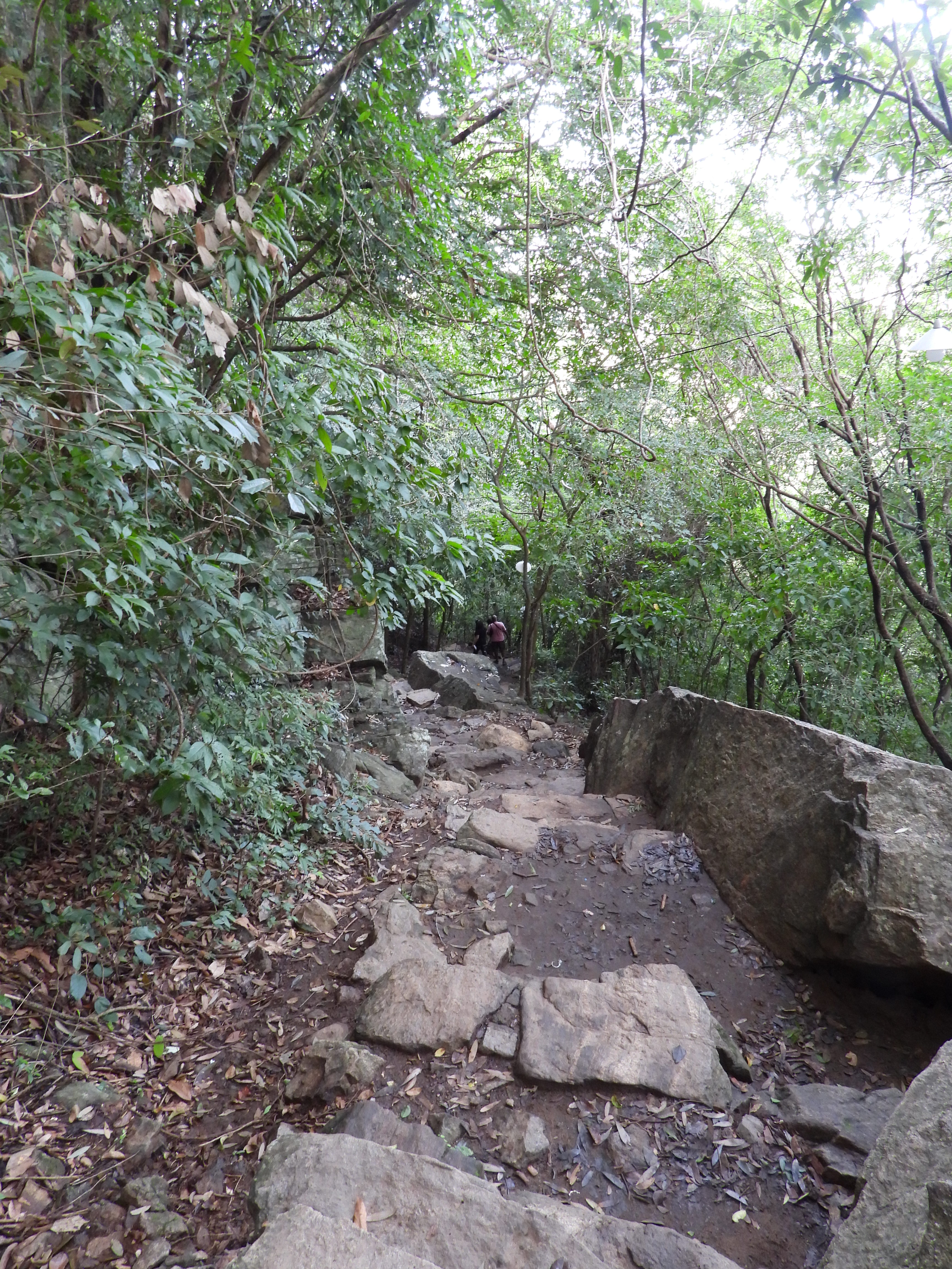
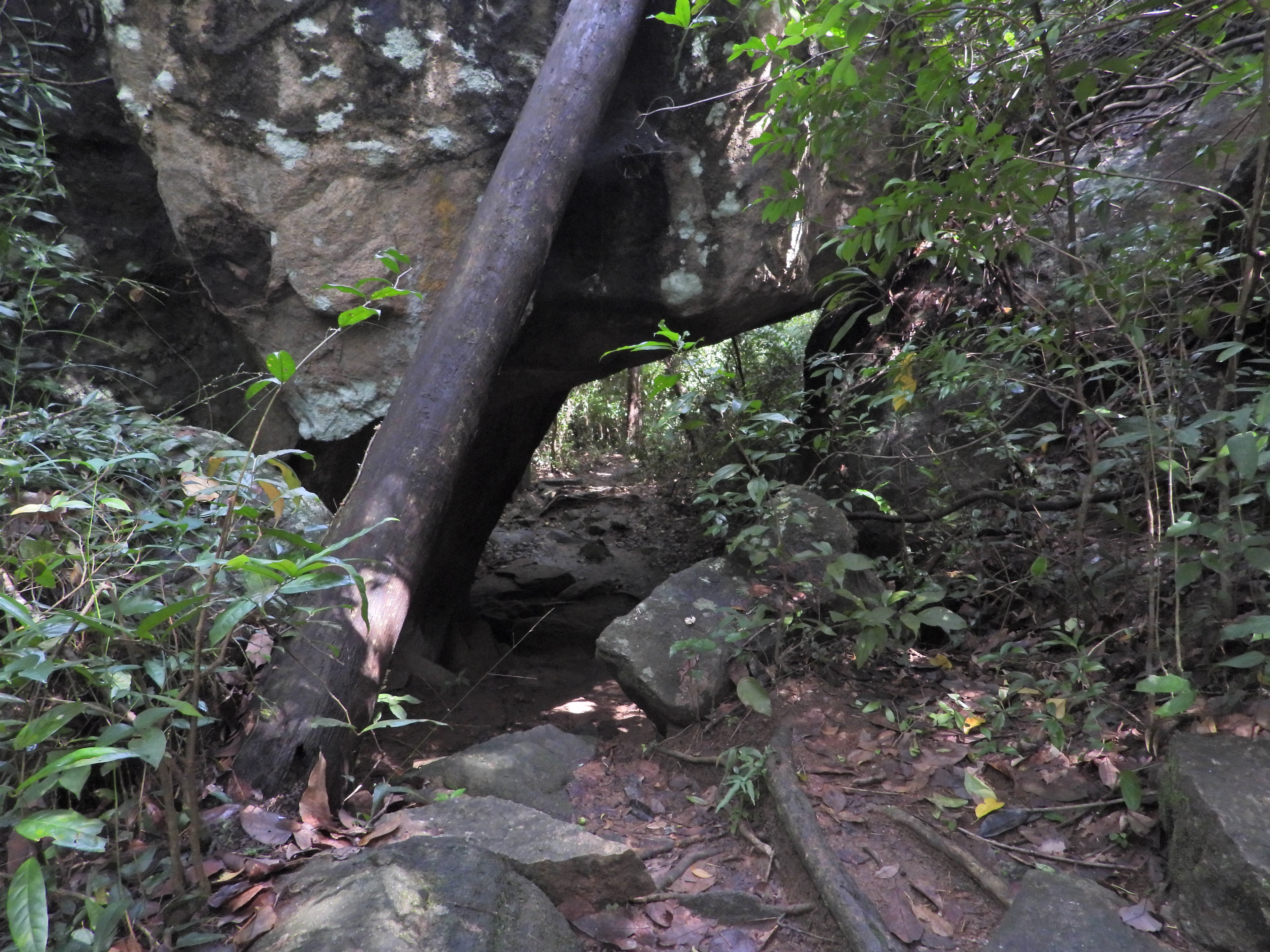
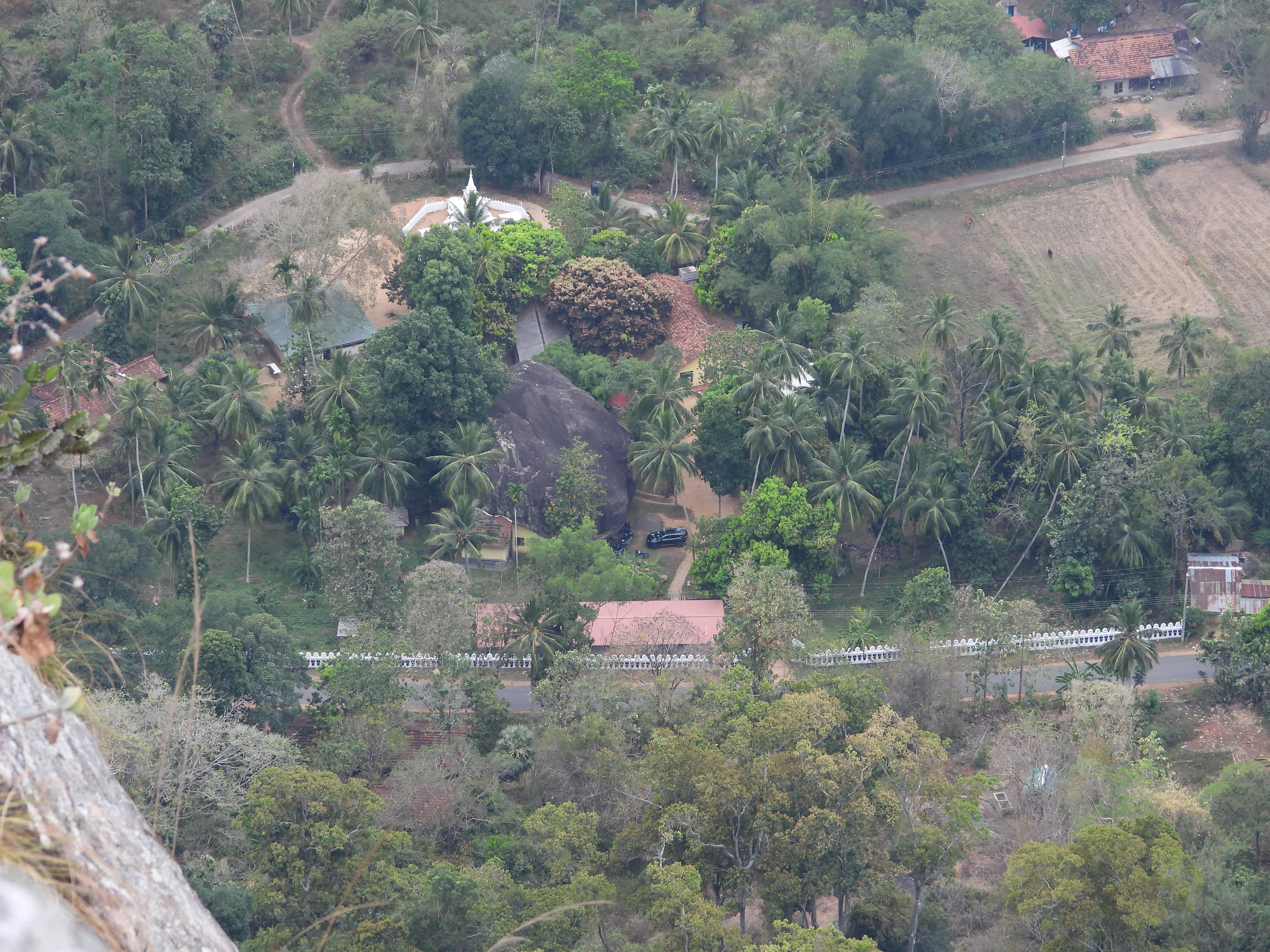
The area allowed for visitors extends to about 2 Km into the mountain and is an easy climb. The whole walk through the ruins is shrouded by jungle canopy which keeps even the noon sun out, making it a somewhat cool climb.

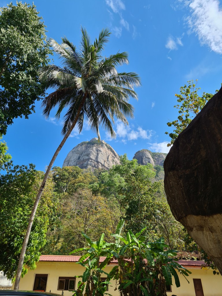
The Site is easily reached via the Habarana / Anuradhapura road. The turn of is marked by a small archaeological department sign board. This road is motorable by a normal saloon car, though the road is not very good. A further turn off to the right at a sign board which says Ritigal is the road to the entrance. A museum and office buildings have been erected here. The drive from this turn off is about 2 Km through a thick jungle which one should do with the shutters down to listen to the jungle sounds. At particular times of the years, the whole road is engulfed by butterflies.

Kanneliya Forest Reserve

Kanneliya Forest Reserve

Kanneliya forest reserve is a rainforest bordering the famous singharaja rainforest. It is in the Galle district about 120km from Colombo. Its a super place to spend a day walking among many indigenous plants and breathing some of the most oxygenated air in the country. Previously this was part of the state plywood corporation until 1988 and subject to extensive logging. This actually helped in transforming this forest to a rainforest allowing sunlight to fall on the ground enabling many species of plants to grow. Also the trails are broad and tarred making the trails easy to navigate and making sure people stay on the track.

It is advisable to visit the place on a weekday and avoid holidays. The guides are self employed people from the village. They are very knowledgeable about the various flora and fauna in the reserve. They are very good at spotting the various fauna which the casual observer would other wise miss. They bring the village level knowledge passed through the generations in identifying plants and their uses. Most plants are medicinal and used in traditional medication practice. No plastic is allowed into the reserve and no one is allowed in without a guide. This is one of those rare places which is frequented by large groups of people but there isn’t any litter at all to be seen. This is testimony to the efficacy of the guides.

The walk is through the forest canopy and is a very cool and pleasant walk. A bathing spot has been created just inside the reserve so that hikers can, if required, take a nice dip in the cool water after the hike

The reserve is home to 17% of lowland endemic floral species and of the 319 woody species 52 are endemic to SriLanka. 220 faunal species in the reserve 41 are endemic species. Of the 26 endemic birds in Sri Lanka 20 can be found here. Some plants such as the Hal tree grows only in the southern province. It is reputed to be the most energy producing food in Sri Lanka and was the staple food of the Dutugemunu Army.

The short tour covering a waterfall and the giant tree is about a 8km walk for the round trip and takes about 3 1/2 hours. The hike to the second waterfall and the highest point on the reserve is another 3km and 6km respectively one way. These trails are not open on holidays due to the lack of guides. The track is senior citizen friendly as long as they can manage the length of the walk on a gentle incline.

The cost of the ticket is Rs120 per head for locals and the guide costs from Rs900 to Rs1200 depending on the trails selected.

Rajagala thenna

Rajagala thenna

Rajagala thenna or Rassasgala is situated in the Ampara district, just 25 km from Ampara. The turn off is well marked off the Ampara Uhana Maha Oya high way. Google maps sometime shows a different turn off.

This is one of the most fascinating places I have visited. It is a must visit if you are in the Eastern province. Its easy to reach, the base site has a large car park, very clean and neat. The climb is a bit strenuous and takes about 45mins. Hence carry plenty of water and probably some energy foods like chocolates.There are two paths; the south path is just shy of 1km and is more gently sloping than the east path which is 1.4km and consists largely of steps. Both paths are well marked and clean. I suggest to climb up the south path and come down the east path. The trek is through the forest and very cool. I climbed at 1 pm on a hot day, but didn’t feel it inside the forest. At the site too one needs to climb further through the forest to see the cave complex.

Both paths converge at the site of Arahat Mahinda thera, who is credited with embedding Buddhism in Sri Lankan culture in 2-3rd century BC. The stone inscription confirms the authencity of the site.

The site is a sprawling Buddhist community with its own lake for water fed by numerous water streams. The ruins here is reminiscent of those in Ritigala and even Anuradhapura or pollonaruwa. The site is better preseved than most othe places. The cave dwellings still has its coloured plaster on its walls. The stone architecture used in the caves reminds one of those found in Kaludiya Pokuna in Kandalama. The stone door frames, stairways with ballustrads still in place is fascinating. The stone bowls used to collect water brought vi’s stone conduits is seen only here. Another aspect thats seen here is that most caves have been used by lay female devotees.

The large stairways leading to the top of the rock where you find further ruins of temple buildings also provides a breath taking panoramic view of the area right upto the east coast.

The east path which starts behind the stupa of Arahat Mahinda, leads one across large ponds on the rock and ruins of dagabos. The stair way down is invariably has a semi circular stepping stone.

Manigala Hike

Manigala Hike

Manigala is situated in Riverstone, knuckles. Legend has it that Ravana landed his ‘plane’ on this rock. Top of the rock is a large plain covered with short shrubbery trees common this type of altitude and weather. It is not uncommon to see herds of buffalo at the top. These fellows stray from the village to the rock when it is not harvesting season. The climb to the top is moderately difficult. The area is infested with leeches and is advisable to wear socks soaked in dettol and coconut oil mixture and have some ‘siddhaleppa’ balm handy. Carry plenty of water and some food especially food like Chocolates and dates. The whole hike take upto 5 hours. One way is to climb up from Atanwala village and climb down from Thelgamu Oya near the Forestry Bungalow. Path at the Thelgamu Oya end is rather steep, hence might be a good place to start. At Atanwala end its not so steep by graded slope. It is advisable to take a guide with you from the village.

On the way it is a good idea to stop at the Mini Worlds end at Pitawalapatana.

Kaludiya Pokuna – Kandalama

Kaludiya Pokuna – Kandalama

Kalu Diya Pokuna in Kandalama is not to be confused with a place with a similar name in Mihintale, Anuradhapura. The name of the place, again is derived from the the shadow of the forest and hills falling on the lake rendering the water to appear black. This place is an amazing example of cave architecture. The use of the boulders to build cave dewellings with multiple floors. The finishing used in the ancient structure are still visible in places. The whole area is reputed to contain more that 90 caves. The forest is inhabited by leopards and wild elephants who frequent the site and leave their mark on the trees.

Pidurangala

Pidurangala

Pidurangala is a rock out crop next to the famed 8th wonder of the ancient world, Sigiriya Rock Fotress. It is said that the Sigirya rock was inhabited by Monks, when King Kashyapa discovered it and wanted to convert it to his citadel. Hence he made arrangements for the monks to be moved to Pidurangala rock. The caves bear evidence of separate units for monks which even now is fantastically cool. The giant sleeping buddha statue further points to the religious inhabitants and royal patronage. The Climb to the top is not difficult but not a cake walk either. The best part is creeping under a giant boulder to reach the top.

The entrance is through the Pidurangala viharaya. Tickets needs to be obtained prior to the climb. The Cave temple with its ancient script etched into the rock is worth a visit. The best time to climb is before dawn to witness the sunrise. Ensure you carry a torch with you, if its wearable its better since at certain place you need both hands to navigate over boulders. There is no paved path, but judiciously placed arrows are tricky places helps. Better not to climb alone, however at most times there are others who are climbing, one can go along with them.

People come to witness in the awesomeness of the sunrise in solitude, hence please dont make noice.

Pilikutuwa Raja Maha Viharaya

Pilikutuwa Raja Maha Viharaya

Pilikutuwa Raja Maha Viharaya is home to numerous caves. These caves are thought to have been at one time occupied by King Watagamini Abhaya also know as Valagamba. The surrounding cave temples are thought to have been his hideouts during the 14 years he was in exile till he regained the throne. Once he regained the throne, as mark of respect to those that helped him during his exile, he converted each cave that he stayed at into temple. This temple paintings is the rare instance where the guardians at the door are foreigners showing foreign patronage during the Dutch / Portuguese eras.

The climb to the top is very pleasant and easy. It can be easily handled by the young children as well. From the top one has a nice view of the Colombo Skyline and also the near by Maligatenne Raja Maha Viharaya, another cave complex occupied by Vallagamba

Yakdessgala

Yakdessgala

Yakdessgala

When Kuveni was caste out by King Vijaya in favour of a queen from India, Kuveni went to her tribe, the Yakkas. The Yakkas did not want anything to do with here. They believed she betrayed them to Vijaya in exchange for becoming the queen in his kingdom and they caste her out as well. It is said that she cursed the Yakka tribe from atop this rock, hence the name Yakdessgala.

This is a moderately difficult climb. Not suitable for young children or older people. Carry plenty of water, as it can be hot and humid. There is no proper path way up, only pieces of cloth tied to trees intermittently and few arrow. Keep note of these especially when coming down as its easy to get lost. Inform the temple at the entrance of your intentions to climb the rock.

Maligatenna Raja Maha Viharaya

Maligatenna Raja Maha Viharaya

Granite Steps cut into a path between two rocks

Maligatenna is reputed to be a hideout of King Valagamba, hence the name loosely translates to palace grounds. Reputed to be the highest point in the Gampaha district, gives an panoramic view of the Colombo skyline. The climb up to the top is through a path way on the right hand side of the temple. The climb is comfortable and takes about 10-20 mins. Passing through some interesting caves, one of which distinctly has 2 rooms and a veranda. The precariously placed boulders adds wonder to the site. Its twin site is Pilikutuwa Raja Maha Viharaya.

Ras Vehera

Ras Vehera

Giant Buddha Statute

Ras Vehera or Sessuruwa has one of the largest standing buddha statues in the country. heaved out of a single granite boulder is a twin of a similar statue at Aukana. It is thought that the 2 statues were done by the teacher and the pupil contesting with one another. When the Aukana one was completed the completion of the one at Ras Wehera was stopped. Hence the statue is incomplete of the finer details. While the access to the statue is easy, the climb to the top of the rock is moderately difficult. There is no clear path to the the top, hence it is advisable to do so with a person from the village. The path way is through numerous caves which were inhabited by monks in the past. One particular cave called the “Hulan Gohawawe” or the Windy Cave, which always has a wind blowing through it.